Cow Down
Downs, Moorland in Sussex Mid Sussex
England
Cow Down
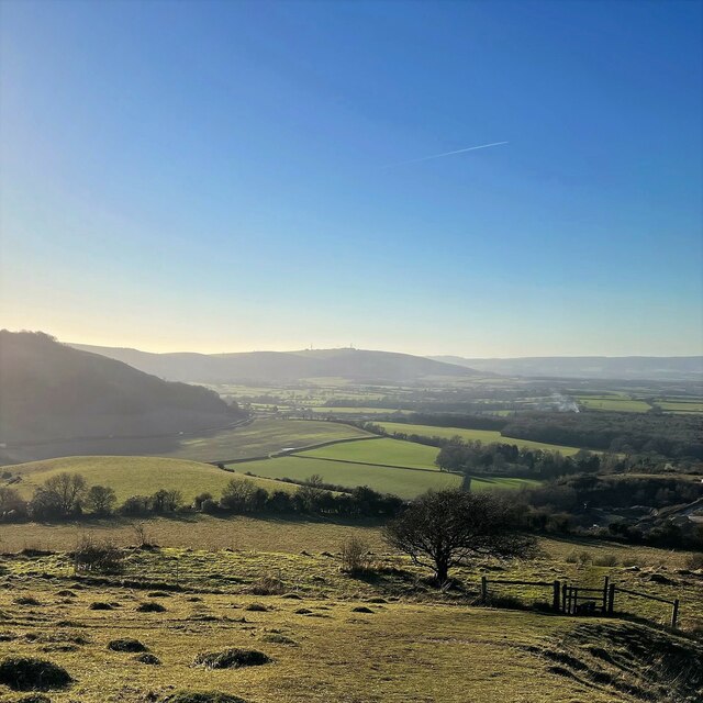
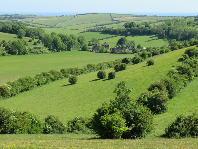
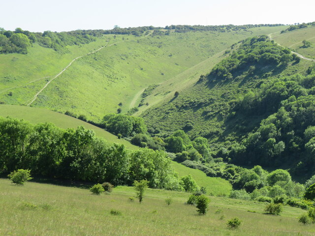
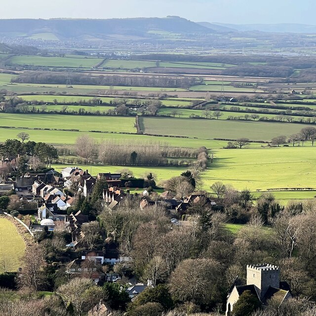
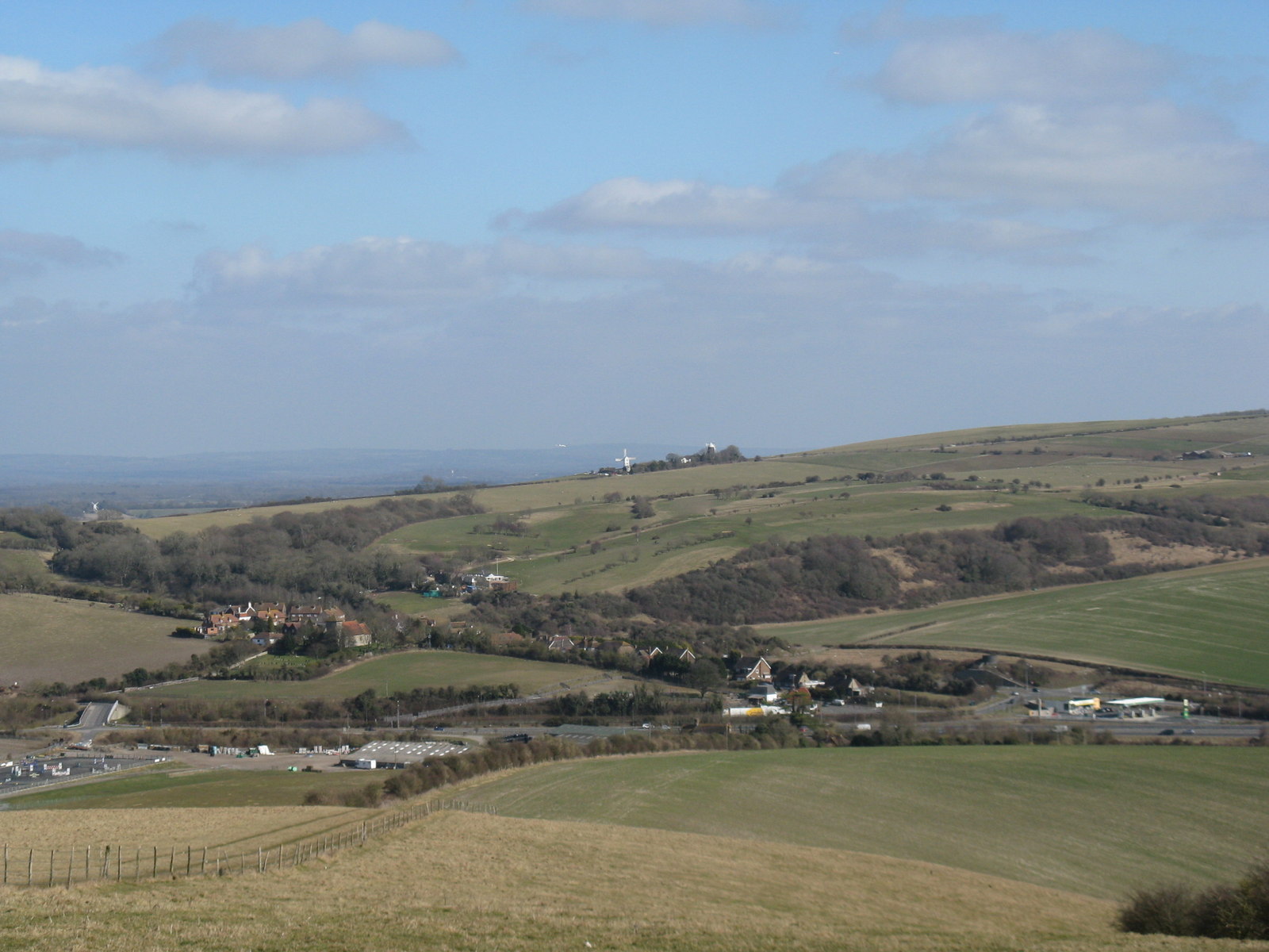
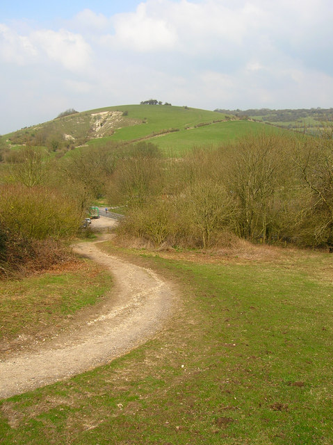
Cow Down is a picturesque area located in Sussex, England. It is part of the South Downs, a range of rolling hills and chalk grasslands that stretches across southern England. Cow Down is specifically situated in the western part of the South Downs, offering stunning views of the surrounding countryside.
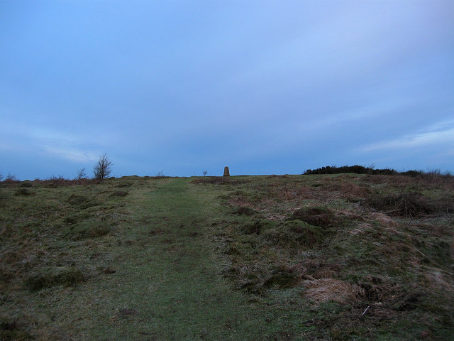
The landscape of Cow Down is characterized by its vast open spaces, undulating hills, and expansive moorland. The area is covered in a patchwork of vibrant green fields and heathland, providing a haven for diverse wildlife and plant species. Visitors to Cow Down can expect to encounter a variety of bird species, such as skylarks, kestrels, and buzzards, as well as wildflowers like harebells and orchids.
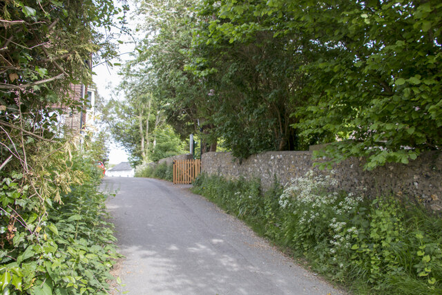
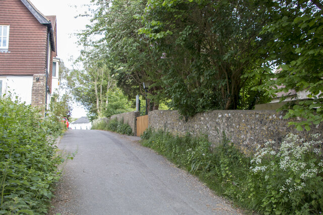
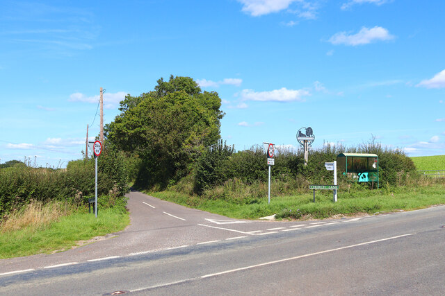
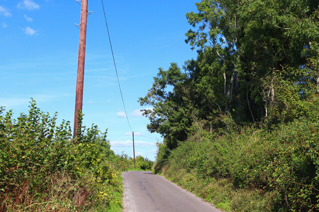
The terrain of Cow Down offers numerous opportunities for outdoor activities. Hiking and walking enthusiasts can explore the network of footpaths and trails that crisscross the area, providing access to stunning viewpoints and hidden valleys. The wide-open spaces are also ideal for picnicking, kite flying, and enjoying the tranquility of nature.
In addition to its natural beauty, Cow Down is steeped in history. The area has been inhabited for centuries, with evidence of ancient settlements and burial mounds dating back to the Neolithic period. Visitors can explore these historical sites and learn about the rich cultural heritage of the area.
Overall, Cow Down in Sussex offers a unique combination of natural beauty, outdoor recreational opportunities, and historical significance. Whether you are a nature lover, history enthusiast, or simply seeking a peaceful escape from the hustle and bustle of daily life, Cow Down is a must-visit destination in the South Downs.
If you have any feedback on the listing, please let us know in the comments section below.
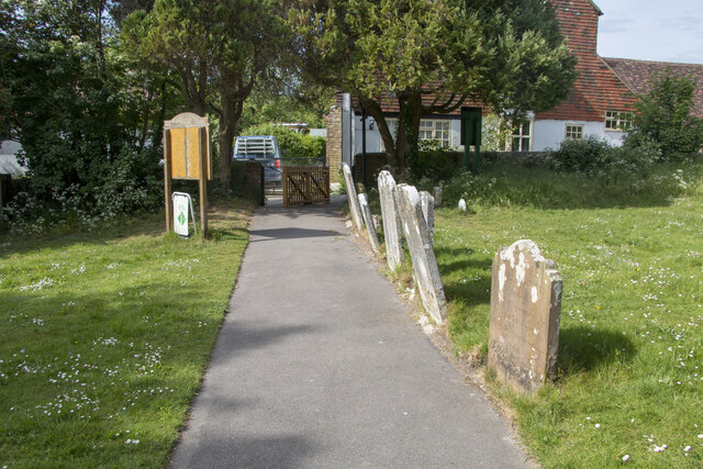
Cow Down Images
Images are sourced within 2km of 50.896768/-0.17894203 or Grid Reference TQ2812. Thanks to Geograph Open Source API. All images are credited.


Cow Down is located at Grid Ref: TQ2812 (Lat: 50.896768, Lng: -0.17894203)
Administrative County: West Sussex
District: Mid Sussex
Police Authority: Sussex
What 3 Words
///clinking.quoted.hiker. Near Hassocks, West Sussex
Nearby Locations
Related Wikis

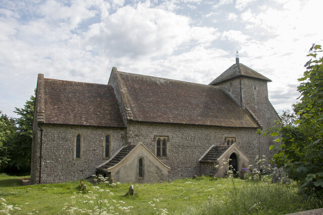
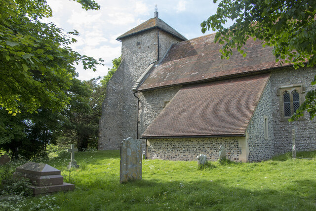
Church of the Transfiguration, Pyecombe
The Church of the Transfiguration is the Church of England parish church of the village of Pyecombe, in the Mid Sussex District of West Sussex, England...
Pyecombe
Pyecombe is a village and civil parish in the Mid Sussex District of West Sussex, England. Pyecombe is located 7 miles (11 km) to the north of Brighton...

Saddlescombe Preceptory
Saddlescombe Preceptory was a priory in West Sussex, England. == References == == Further reading == L. F. Salzmann (1907). "Religious Houses: The Preceptory...
Wolstonbury Hill
Wolstonbury Hill is a 58.9-hectare (146-acre) biological Site of Special Scientific Interest south-west of in West Sussex. It is owned by the National...

Poynings
Poynings ( or locally ) is a village and civil parish in the Mid Sussex District of West Sussex, England. The parish lies wholly with the South Downs...
Newtimber
Newtimber is a small village and civil parish in the Mid Sussex District of West Sussex, England. It is located north-west of Brighton. The parish also...

Newtimber Place
Newtimber Place is a Grade I listed building in the Mid Sussex district of West Sussex, England. The house sits on a D-shaped island in a moat. The oldest...

Patcham Pylon
The Patcham Pylon is a monumental gateway erected in 1928 near Patcham in East Sussex, England. Designed by local architect John Leopold Denman and paid...
Nearby Amenities
Located within 500m of 50.896768,-0.17894203Have you been to Cow Down?
Leave your review of Cow Down below (or comments, questions and feedback).