Middle Fen
Downs, Moorland in Lincolnshire Boston
England
Middle Fen
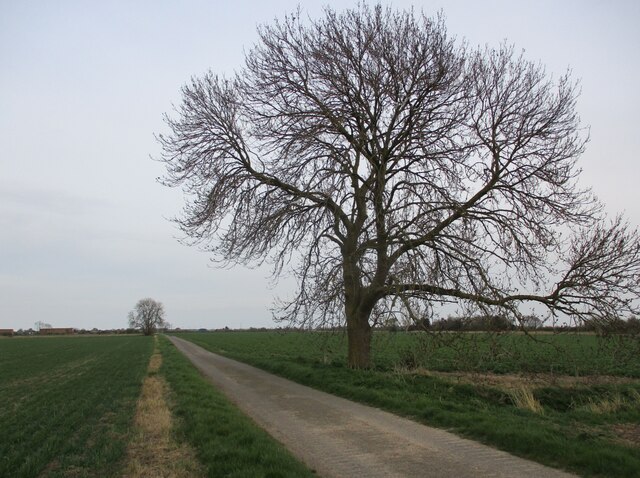
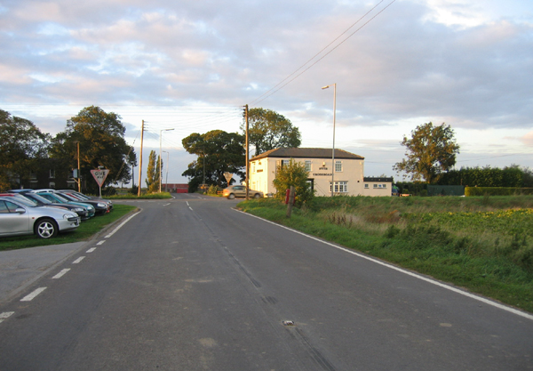
Middle Fen is a region located in the county of Lincolnshire, England. Known for its diverse landscapes, Middle Fen encompasses both downs and moorland areas, offering residents and visitors a unique combination of natural beauty and rich biodiversity.
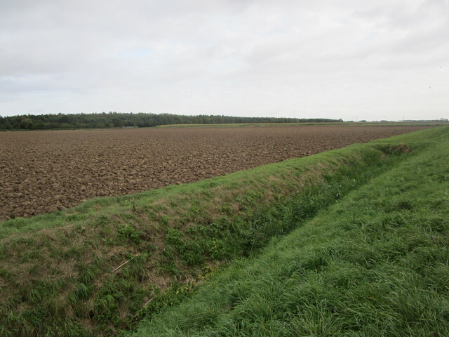
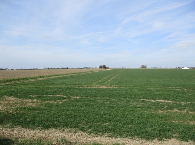
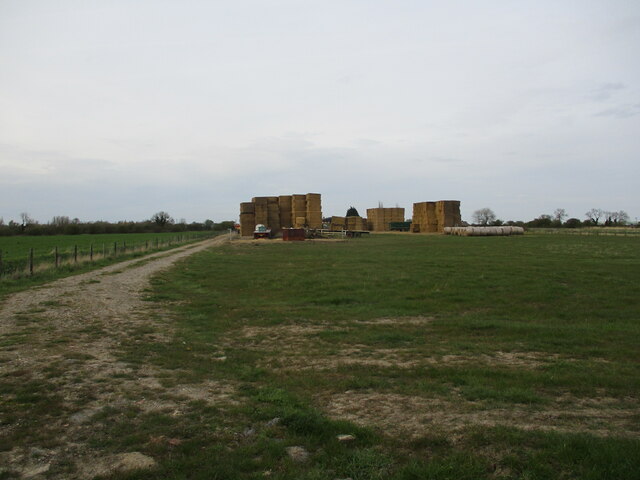
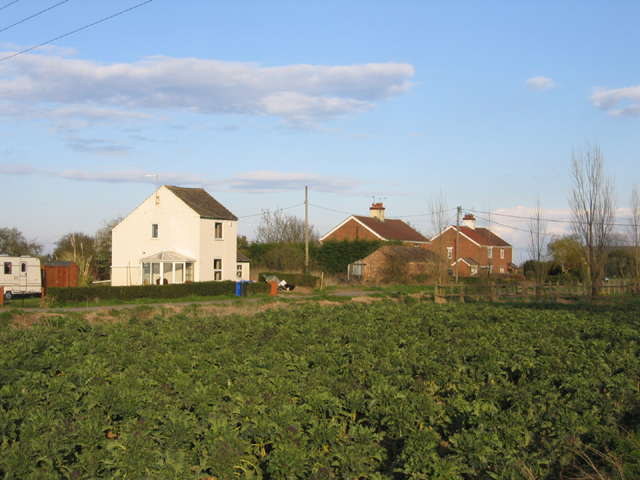
The downs of Middle Fen feature rolling hills and meadows, covered in lush greenery during the warmer months. These areas are characterized by fertile soil, making them ideal for agricultural activities such as farming and grazing. The downs offer stunning panoramic views of the surrounding countryside, providing a peaceful and serene environment for outdoor enthusiasts.
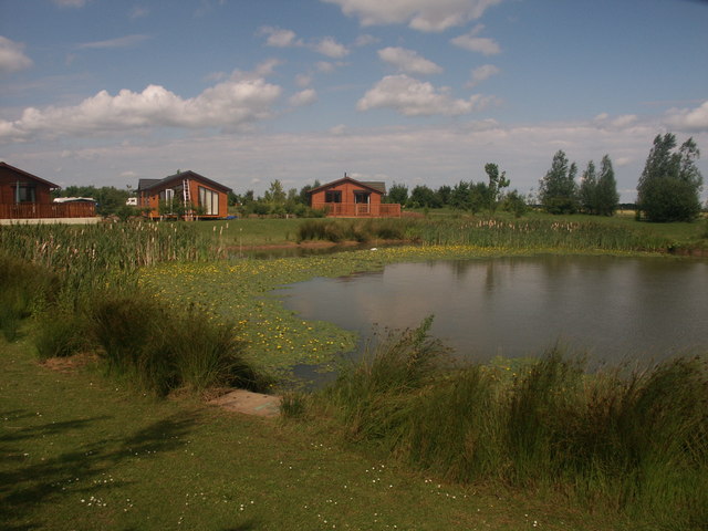
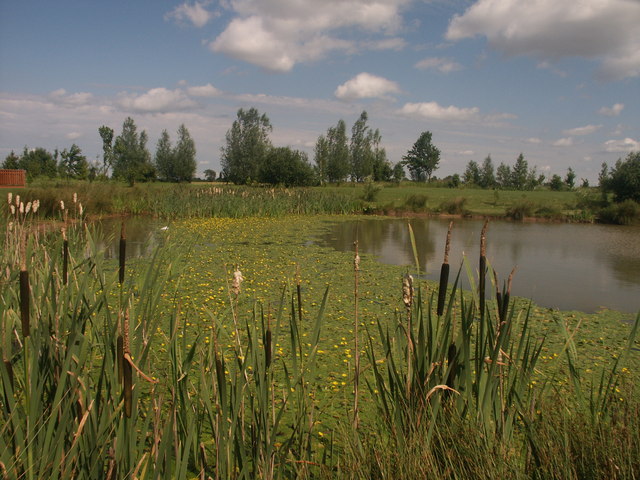
In contrast, the moorland of Middle Fen offers a wilder and more rugged landscape. This area is characterized by open expanses of heather, bracken, and peat bogs. Moorland plants and wildlife thrive in this environment, creating a habitat for various species, including birds, reptiles, and small mammals. The moors are also a popular destination for nature lovers and hikers, who can explore the vast network of footpaths and trails that crisscross the area.
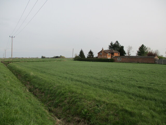
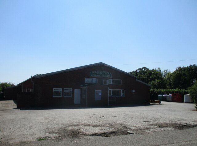
Middle Fen is home to several small villages and hamlets, each with its own unique character and charm. The local communities are known for their warm hospitality and strong sense of community spirit. Visitors can find a range of amenities and services, including quaint pubs, local shops, and accommodation options, allowing them to fully immerse themselves in the rural Lincolnshire lifestyle.
Overall, Middle Fen offers a diverse and picturesque landscape, combining the beauty of downs and moorland. Whether you are seeking tranquility, outdoor adventures, or a glimpse into rural life, Middle Fen is a captivating destination worth exploring.
If you have any feedback on the listing, please let us know in the comments section below.
Middle Fen Images
Images are sourced within 2km of 52.969529/-0.093329113 or Grid Reference TF2843. Thanks to Geograph Open Source API. All images are credited.


Middle Fen is located at Grid Ref: TF2843 (Lat: 52.969529, Lng: -0.093329113)
Administrative County: Lincolnshire
District: Boston
Police Authority: Lincolnshire
What 3 Words
///crust.screeches.nicely. Near Boston, Lincolnshire
Nearby Locations
Related Wikis

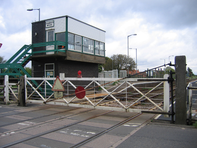
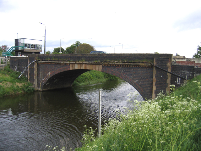
Hubberts Bridge railway station
Hubberts Bridge railway station serves the village of Hubberts Bridge in Lincolnshire, England. It is located on the Sleaford to Boston section of the...

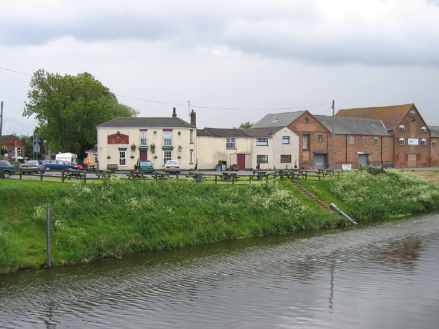
Hubberts Bridge
Hubberts Bridge is a village in the borough of Boston, Lincolnshire, England. It is situated within the civil parish of Frampton, and approximately 3 miles...

Kirton Holme
Kirton Holme is a village in Lincolnshire, England. It is situated within Kirton civil parish, and approximately 4 miles (6 km) west from the town of...

Frampton West End
Frampton West End is a settlement in Lincolnshire, England. It is in the civil parish of Frampton == External links == Media related to Frampton West...

Kirton End
Kirton End is a hamlet in the civil parish of Kirton in the Boston district of Lincolnshire, England. It lies on the B1391 road, 4 miles (6 km) south...

Brothertoft
Brothertoft is a village in the civil parish of Holland Fen with Brothertoft, in the Boston district, in the county of Lincolnshire, England. It is about...

Wyberton
Wyberton is a village in Lincolnshire, England. It lies just south-west of Boston, and on the B1397 – the former A16 London Road – between Boston and...
Swineshead Abbey
Swineshead Abbey was an abbey in Swineshead, Lincolnshire. The Abbey of St Mary, a Cistercian monastery, was founded in 1134 by Robert de Gresley. Gresley...
Nearby Amenities
Located within 500m of 52.969529,-0.093329113Have you been to Middle Fen?
Leave your review of Middle Fen below (or comments, questions and feedback).