Great Postland
Downs, Moorland in Lincolnshire South Holland
England
Great Postland
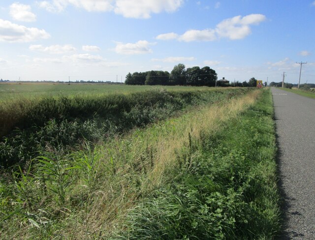
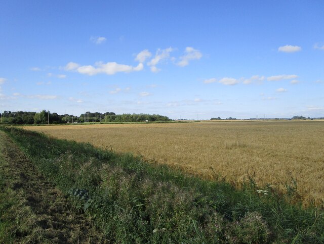
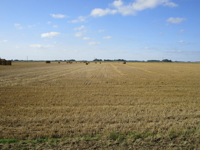
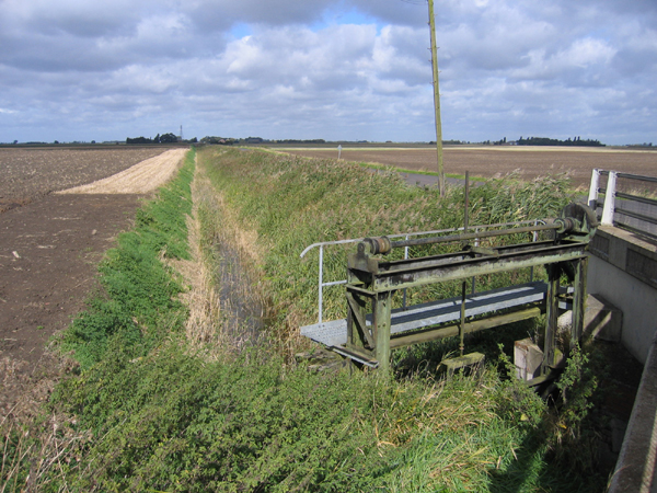
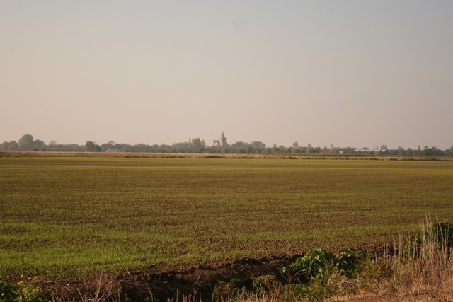
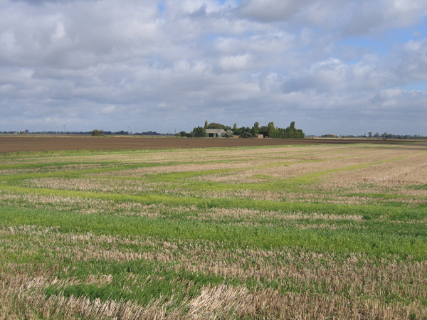
Great Postland is a region located in Lincolnshire, England, known for its unique landscape of downs and moorland. The area is characterized by rolling hills, open grasslands, and vast expanses of heathland, providing a picturesque backdrop for outdoor activities such as hiking, birdwatching, and horseback riding.
The downs of Great Postland are gentle sloping hills that offer stunning panoramic views of the surrounding countryside, while the moorland provides a habitat for a variety of wildlife species, including rare birds and plants. The region is also home to several nature reserves and conservation areas, making it a popular destination for nature enthusiasts and eco-tourists.
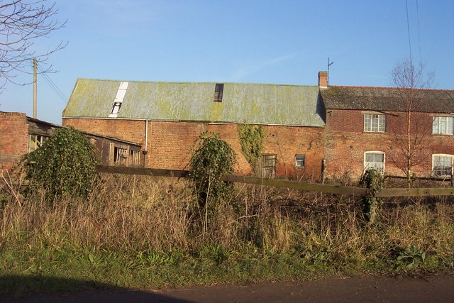
In addition to its natural beauty, Great Postland has a rich history dating back to ancient times, with archaeological sites and historic landmarks scattered throughout the area. Visitors can explore ancient burial mounds, Roman ruins, and medieval churches, gaining insight into the region's past.
Overall, Great Postland is a peaceful and enchanting destination for those seeking to connect with nature and immerse themselves in the beauty of the Lincolnshire countryside.
If you have any feedback on the listing, please let us know in the comments section below.
Great Postland Images
Images are sourced within 2km of 52.685707/-0.12645973 or Grid Reference TF2611. Thanks to Geograph Open Source API. All images are credited.


Great Postland is located at Grid Ref: TF2611 (Lat: 52.685707, Lng: -0.12645973)
Administrative County: Lincolnshire
District: South Holland
Police Authority: Lincolnshire
What 3 Words
///surfed.remains.mermaids. Near Crowland, Lincolnshire
Nearby Locations
Related Wikis
Fitton End
Fitton End is a hamlet in the civil parish of Newton-in-the-Isle, in the Fenland district, in the county of Cambridgeshire, England. It has a population...
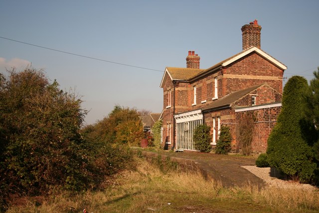
Postland railway station
Postland railway station was a station on the Great Northern and Great Eastern Joint Railway in Crowland, Lincolnshire, which is now closed. It took its...

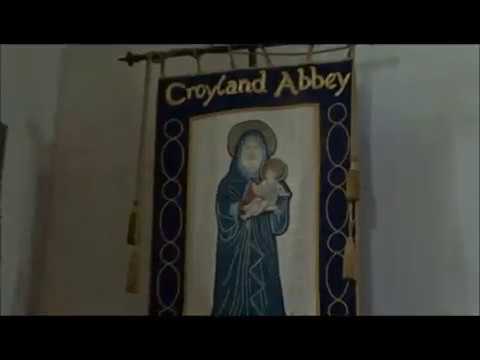
Crowland Abbey
Crowland Abbey (historically often spelled Croyland Abbey; Latin: Croilandia) is a Church of England parish church, formerly part of a Benedictine abbey...

Crowland
Crowland (modern usage) or Croyland (medieval era name and the one still in ecclesiastical use; cf. Latin: Croilandia) is a town in the South Holland district...
Related Videos

I go Gliding
Thanks to : My Family for this experience with Peterborough and Spalding Gliding Club and my Instructor R.DUKE Aid by Jay ...
The May 2019 Family Tree Trip, EDITED Part Xxx 'Crowland Abbey and Sheila's x25 Great grandfather W
A trimmed version of the visit to Crowland Abbey on the 3rd day of my family tree trip to Cambridgeshire, Huntingdonshire, ...
Nearby Amenities
Located within 500m of 52.685707,-0.12645973Have you been to Great Postland?
Leave your review of Great Postland below (or comments, questions and feedback).