The Carr
Downs, Moorland in Yorkshire
England
The Carr

The Carr is a picturesque and expansive region located in Yorkshire, England. It is predominantly characterized by its rolling hills, moorland, and downs, which provide a stunning backdrop for the surrounding countryside. The Carr is known for its diverse and rich natural landscapes, offering visitors a unique experience of Yorkshire's rural beauty.
The area is home to a variety of flora and fauna, with heather-covered moorland, dense woodlands, and open grasslands. This diverse ecosystem supports a wide range of wildlife, including roe deer, foxes, badgers, and an array of bird species. The Carr is a haven for nature enthusiasts, providing ample opportunities for hiking, birdwatching, and wildlife photography.
The region's stunning vistas and tranquil atmosphere make it an ideal destination for those seeking solitude and peace. The Carr offers a sense of serenity, with its vast open spaces and unspoiled landscapes. The rolling hills and moorland are particularly popular among outdoor enthusiasts, providing a perfect setting for activities such as hill walking and mountain biking.
In addition to its natural beauty, the Carr also boasts a rich cultural heritage. The area is dotted with charming villages and historic landmarks, such as ancient stone circles and medieval ruins. These sites offer a glimpse into the region's past, allowing visitors to immerse themselves in its history and heritage.
Overall, the Carr in Yorkshire is a place of outstanding natural beauty, offering visitors a chance to connect with nature and explore the region's diverse landscapes. Whether it's hiking, wildlife spotting, or simply enjoying the tranquility of the countryside, the Carr has something to offer for everyone.
If you have any feedback on the listing, please let us know in the comments section below.
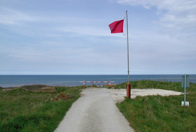
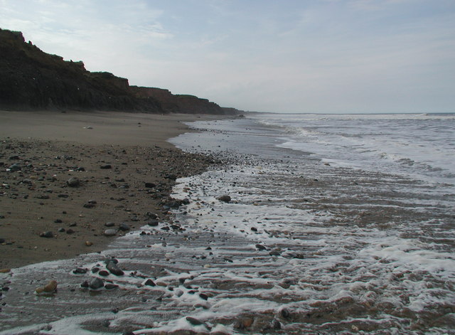
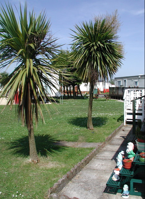
The Carr Images
Images are sourced within 2km of 53.851292/-0.11257233 or Grid Reference TA2441. Thanks to Geograph Open Source API. All images are credited.


The Carr is located at Grid Ref: TA2441 (Lat: 53.851292, Lng: -0.11257233)
Division: East Riding
Unitary Authority: East Riding of Yorkshire
Police Authority: Humberside
What 3 Words
///shadowed.infants.blazers. Near Aldbrough, East Yorkshire
Nearby Locations
Related Wikis
RAF Cowden
RAF Cowden was a Royal Air Force bombing range, near to the village of Aldbrough, East Riding of Yorkshire, England. The site was used by the RAF and other...
Cowden, East Riding of Yorkshire
Cowden (or Little Cowden) is a hamlet in the East Riding of Yorkshire, England, in an area known as Holderness. It is situated approximately 5 miles (8...
Great Cowden
Great Cowden is a hamlet in the East Riding of Yorkshire, England, in an area known as Holderness. It is situated approximately 3 miles (5 km) south of...

Colden Parva
Colden Parva (also known as Little Cowden) is a former village and ecclesiastical parish of the East Riding of Yorkshire that was lost due to coastal erosion...
Nearby Amenities
Located within 500m of 53.851292,-0.11257233Have you been to The Carr?
Leave your review of The Carr below (or comments, questions and feedback).