Gamlingay Great Heath

Downs, Moorland in Cambridgeshire South Cambridgeshire

England

Gamlingay Great Heath

Everton church St Mary's Church, Everton.
Everton church Credit: Katie

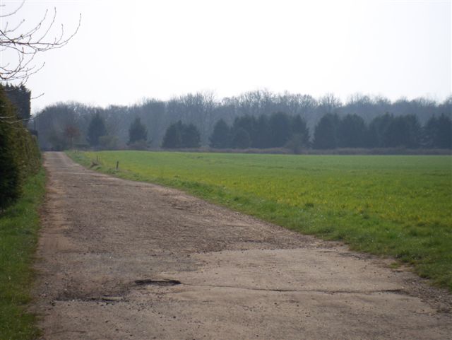
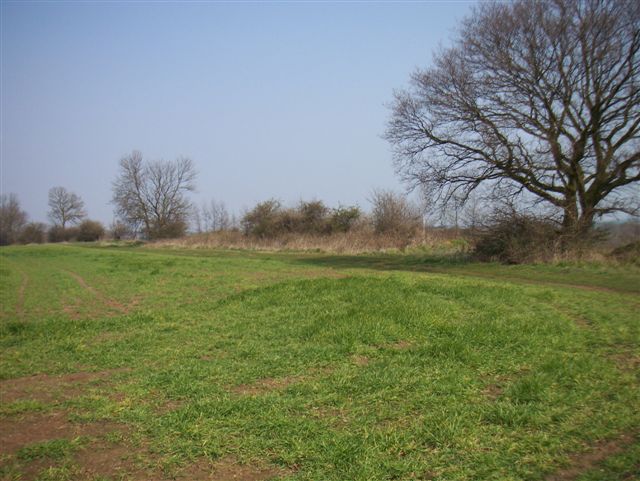
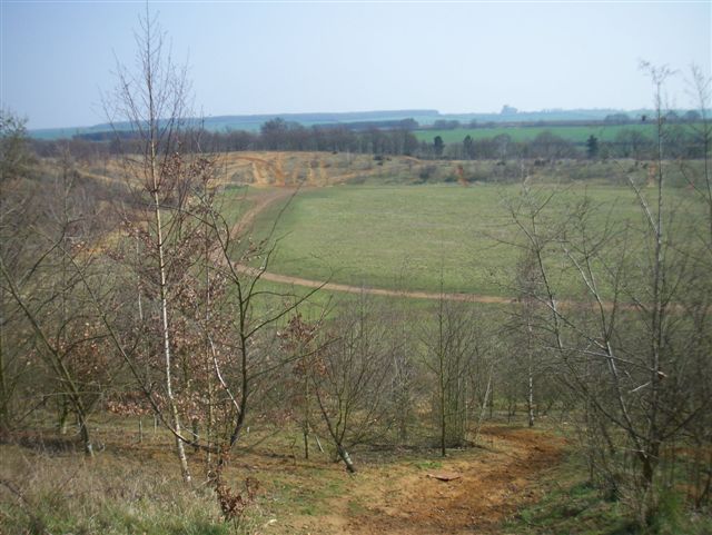
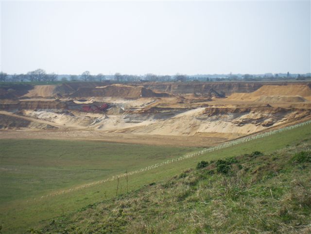
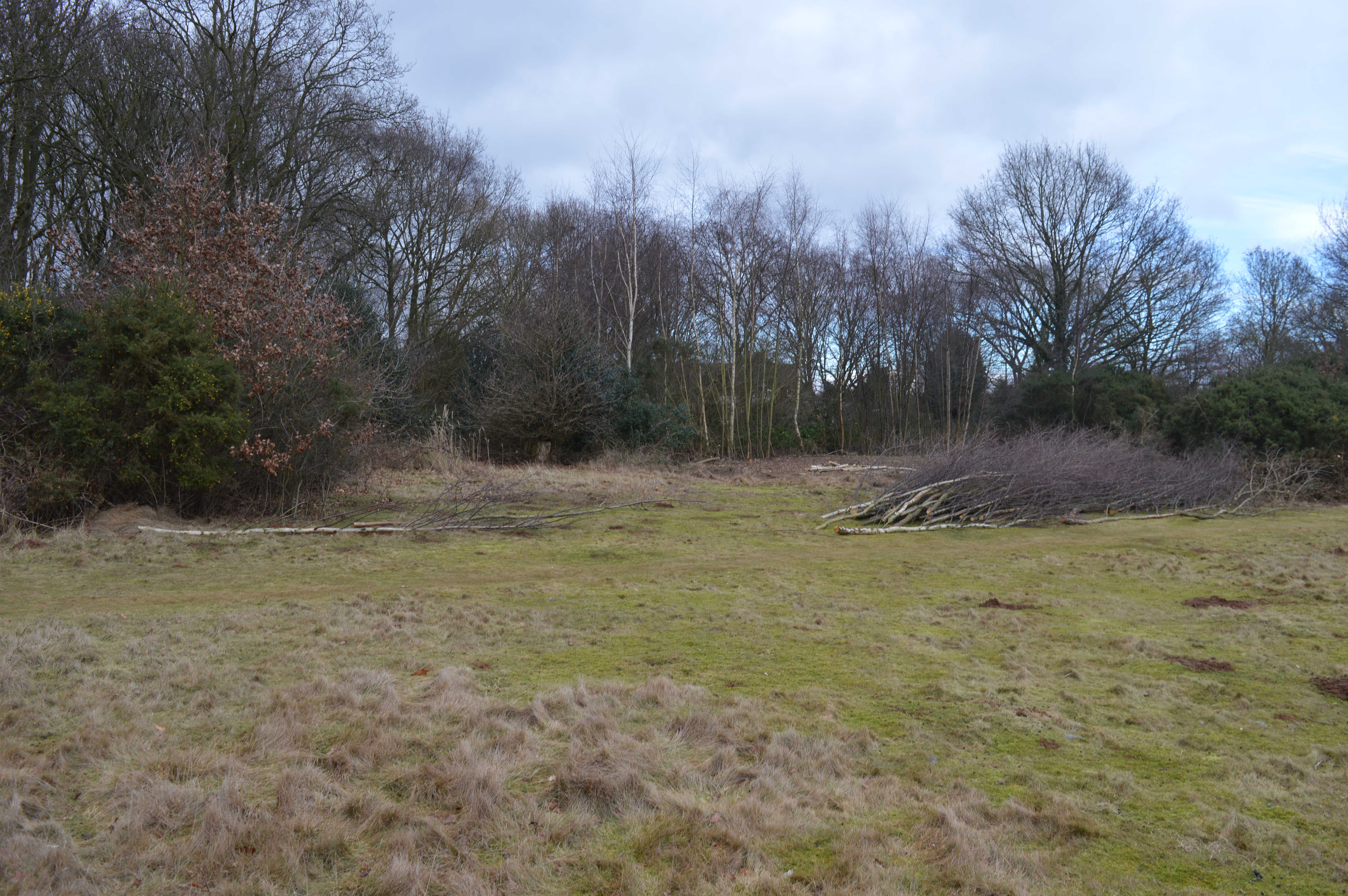
Gamlingay Great Heath is a vast expanse of heathland located in Cambridgeshire, England. Covering an area of approximately 480 acres, it is a designated Site of Special Scientific Interest (SSSI) due to its unique ecological characteristics. The heath is situated in the southern part of the county, near the village of Gamlingay.

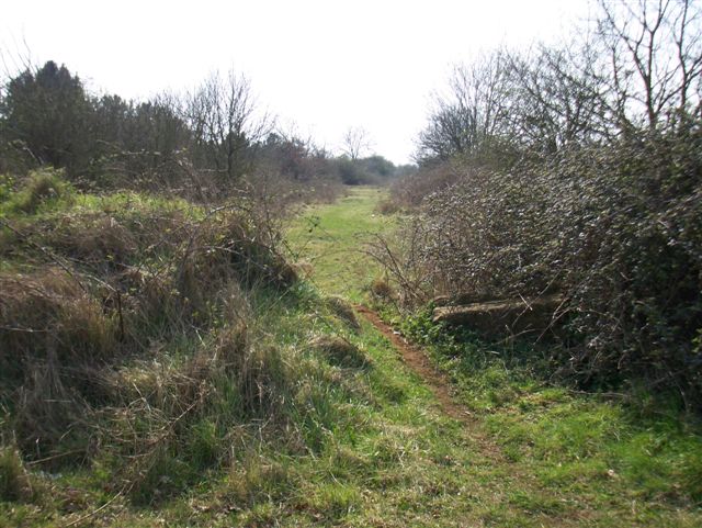
The landscape of Gamlingay Great Heath consists of a mix of low-lying grasslands, heather moorlands, and patches of woodland. The heathland is characterized by its acidic soils, resulting from the underlying sand and gravel deposits. This habitat supports a diverse range of flora and fauna, some of which are considered rare or endangered.

In terms of plant life, Gamlingay Great Heath is known for its heathers, including the rare cross-leaved heath and the bell heather. Other plant species found here include gorse, bracken, and various grasses. The heathland provides an important breeding ground for numerous bird species, such as the nightjar, woodlark, and stonechat. Reptiles like the common lizard and adder can also be spotted in the area.

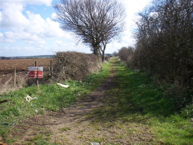
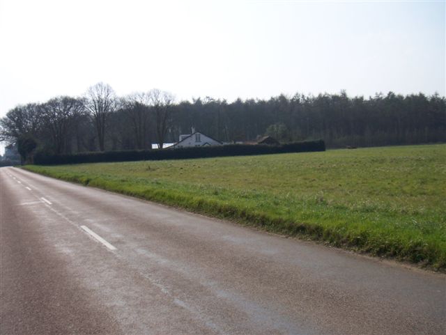
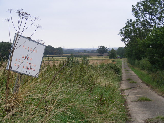
Gamlingay Great Heath offers a peaceful and tranquil setting for visitors to enjoy nature. There are footpaths and trails that wind through the heath, allowing walkers and hikers to explore the diverse landscape. The heath is managed by local conservation organizations that work to preserve its unique biodiversity and protect its natural habitats.

If you have any feedback on the listing, please let us know in the comments section below.

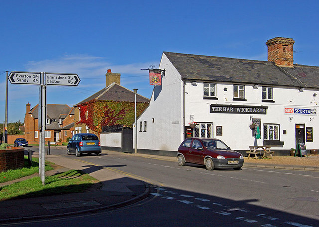
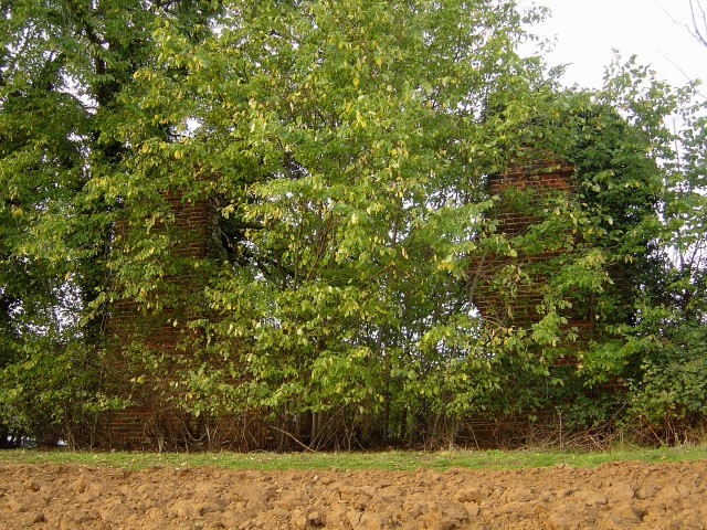
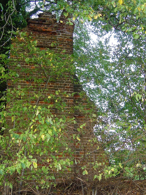
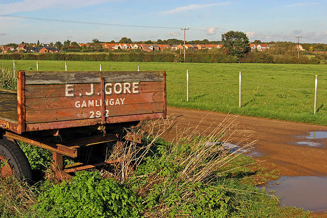
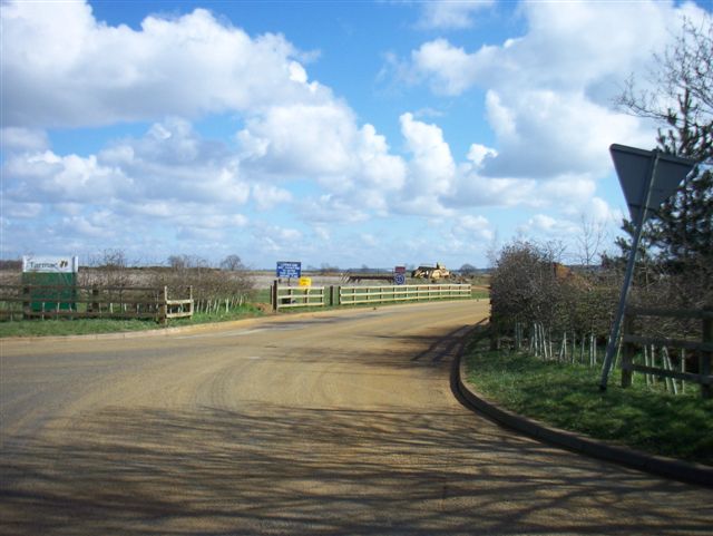
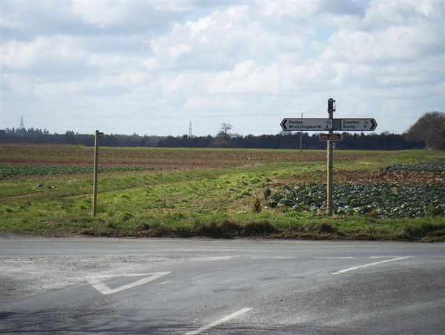
Gamlingay Great Heath Images

Images are sourced within 2km of 52.146838/-0.21611819 or Grid Reference TL2251. Thanks to Geograph Open Source API. All images are credited.

Everton church St Mary's Church, Everton.
Everton church
St Mary's Church, Everton.
Hardwicke Arms Gamlingay The Hardwicke Arms Public House located at the junction of Church Street and Waresley Road in Gamlingay
Hardwicke Arms Gamlingay
The Hardwicke Arms Public House located at the junction of Church Street and Waresley Road in Gamlingay
Fields beside the B1040 near Potton Fields and hedgerows alongside the B1040. The Sandy TV mast can be seen in the distance.
Fields beside the B1040 near Potton
Fields and hedgerows alongside the B1040. The Sandy TV mast can be seen in the distance.
Moongate, Gamlingay Cinques Look carefully, and you'll see a crumbling brick edifice behind the foliage. This is the ruin of an 18th-century (?) moongate in the grounds of the now-vanished Gamlingay Hall. The moongate was like a giant circular glassless window through which the full moon could be seen to picturesque advantage. Some believe that the structure was poorly sited and that a full moon would rarely if ever be visible through it. Still, it must have made an intriguing landscape feature, as it still does. A different angle can be seen here: <a href="https://www.geograph.org.uk/photo/267116">TL2252 : Moongate detail, Gamlingay Cinques</a>.
Moongate, Gamlingay Cinques
Look carefully, and you'll see a crumbling brick edifice behind the foliage. This is the ruin of an 18th-century (?) moongate in the grounds of the now-vanished Gamlingay Hall. The moongate was like a giant circular glassless window through which the full moon could be seen to picturesque advantage. Some believe that the structure was poorly sited and that a full moon would rarely if ever be visible through it. Still, it must have made an intriguing landscape feature, as it still does. A different angle can be seen here: TL2252 : Moongate detail, Gamlingay Cinques.
Moongate detail, Gamlingay Cinques This is part of what's left of a ruined 18th-century (?) moongate in the grounds of the now-vanished Gamlingay Hall. The moongate was like a giant circular glassless window through which the full moon could be seen to picturesque advantage. (The circular shape can be clearly seen here.) Some believe that the structure was poorly sited and that a full moon would rarely if ever be visible through it. Still, it must have made an intriguing landscape feature, as it still does. A wider angle can be seen here: <a href="https://www.geograph.org.uk/photo/267111">TL2252 : Moongate, Gamlingay Cinques</a>.
Moongate detail, Gamlingay Cinques
This is part of what's left of a ruined 18th-century (?) moongate in the grounds of the now-vanished Gamlingay Hall. The moongate was like a giant circular glassless window through which the full moon could be seen to picturesque advantage. (The circular shape can be clearly seen here.) Some believe that the structure was poorly sited and that a full moon would rarely if ever be visible through it. Still, it must have made an intriguing landscape feature, as it still does. A wider angle can be seen here: TL2252 : Moongate, Gamlingay Cinques.
View of Gamlingay Housing Taken from Mill Hill, the shot shows the lie of the land over the Mill Brook and housing at Gamlingay, beyond. The trailer has a 3 digit phone number and must have stood in this location for many a year.
View of Gamlingay Housing
Taken from Mill Hill, the shot shows the lie of the land over the Mill Brook and housing at Gamlingay, beyond. The trailer has a 3 digit phone number and must have stood in this location for many a year.
Entrance to quarry
Entrance to quarry
Bridleway
Bridleway
Old Church Known locally as the Iron Church?
Old Church
Known locally as the Iron Church?
Which way? Road junction and footpath
Which way?
Road junction and footpath
Footpath to Potton
Footpath to Potton
Bridleway
Bridleway
Footpath to Potton
Footpath to Potton
Finished digging! Old sand and gravel workings
Finished digging!
Old sand and gravel workings
Still digging! Still active workings
Still digging!
Still active workings
White Wood Named for the house??
White Wood
Named for the house??
Lane from Woodbury Hall to Woodbury Low
Tetworth Hall A fine building, even when viewed from the side entrance and stables.
Tetworth Hall
A fine building, even when viewed from the side entrance and stables.
Show me another place!

Gamlingay Great Heath is located at Grid Ref: TL2251 (Lat: 52.146838, Lng: -0.21611819)

Administrative County: Cambridgeshire

District: South Cambridgeshire

Police Authority: Cambridgeshire

What 3 Words

///relaxing.speak.wobbles. Near Gamlingay, Cambridgeshire

Related Wikis

Tetworth

Tetworth is a village and former civil parish, now in the parish of Waresley-cum-Tetworth, in Cambridgeshire, England. Tetworth lies approximately 12 miles...

Gamlingay Cinques

Gamlingay Cinques is a 3.4-hectare (8.4-acre) nature reserve in Gamlingay in Cambridgeshire. It is managed by the Wildlife Trust for Bedfordshire, Cambridgeshire...

Church of St Mary, Everton, Bedfordshire

Church of St Mary is a Grade I listed church in Everton, Bedfordshire, England. It became a listed building on 26 November 1986. Its most famous rector...

Gamlingay

Gamlingay is a village and civil parish in the South Cambridgeshire district of Cambridgeshire, England about 14 miles (23 km) west southwest of the county...

Have you been to Gamlingay Great Heath?

Leave your review of Gamlingay Great Heath below (or comments, questions and feedback).