Burtey Fen
Downs, Moorland in Lincolnshire South Holland
England
Burtey Fen
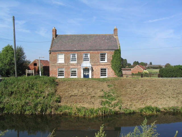
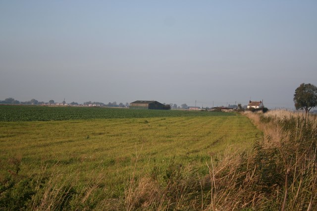
Burtey Fen is a beautiful nature reserve located in Lincolnshire, England. Covering an area of approximately 50 hectares, it is home to diverse habitats including downs and moorland. The reserve is situated in the heart of the Lincolnshire Wolds Area of Outstanding Natural Beauty, making it a popular destination for nature enthusiasts and outdoor lovers.
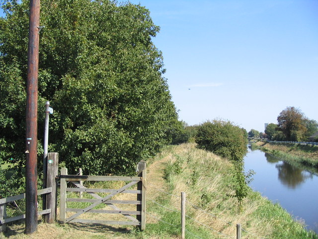
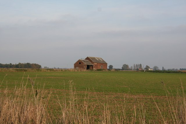
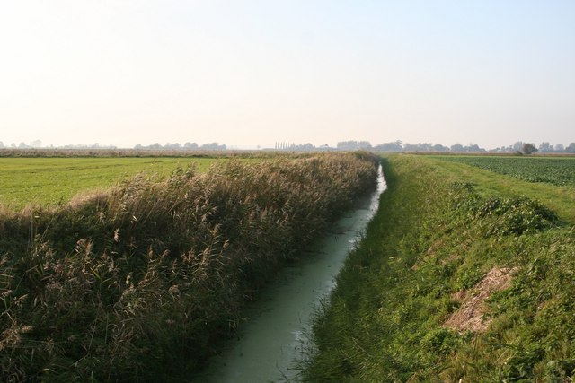
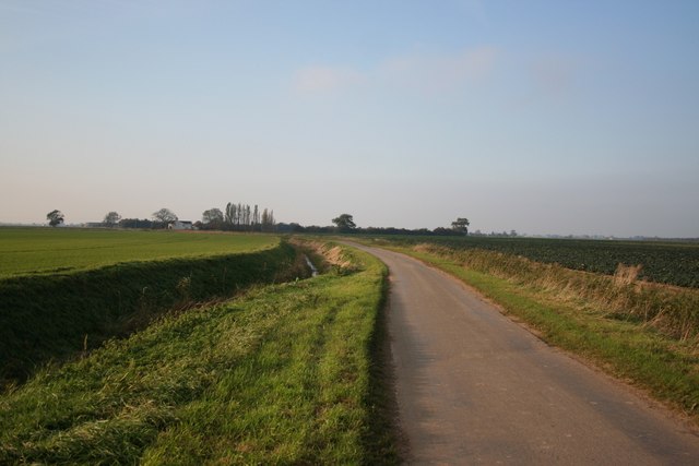
The downs in Burtey Fen provide stunning panoramic views of the surrounding countryside. These gently rolling hills are covered in lush grasses and wildflowers, creating a picturesque landscape that changes with the seasons. The moorland, on the other hand, offers a different kind of beauty. It is characterized by its open expanses, heather-covered hills, and scattered patches of woodland. This unique combination of habitats supports a rich variety of flora and fauna.
Visitors to Burtey Fen can enjoy a range of activities such as walking, birdwatching, and photography. The reserve is home to numerous bird species, including skylarks, lapwings, and yellowhammers, making it a haven for birdwatchers. The diverse plant life attracts a wide range of insects and other invertebrates, providing ample opportunities for macro photography.
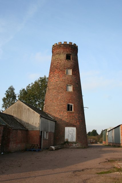
In addition to its natural beauty, Burtey Fen also has a visitor center where visitors can learn more about the reserve's wildlife and conservation efforts. The center offers educational programs and guided walks for both children and adults, making it a great place for families to explore and learn together.
Overall, Burtey Fen is a stunning nature reserve that showcases the diverse landscapes and wildlife of Lincolnshire. Its downs and moorland offer a unique and immersive experience for nature enthusiasts and provide a peaceful escape from the hustle and bustle of everyday life.
If you have any feedback on the listing, please let us know in the comments section below.
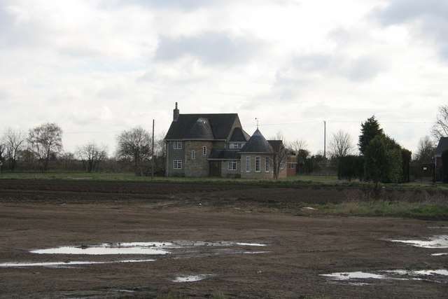
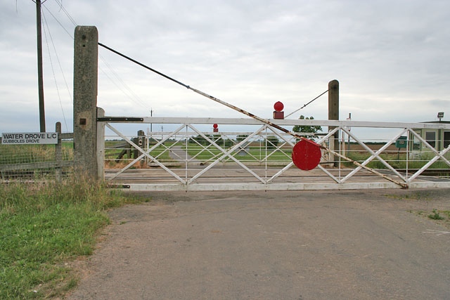
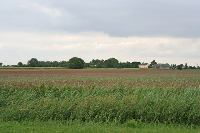
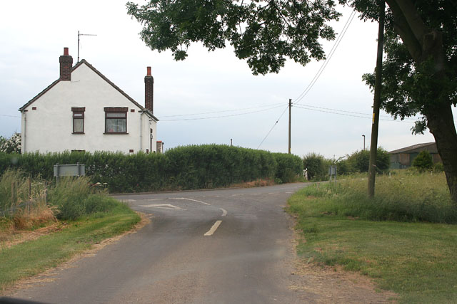
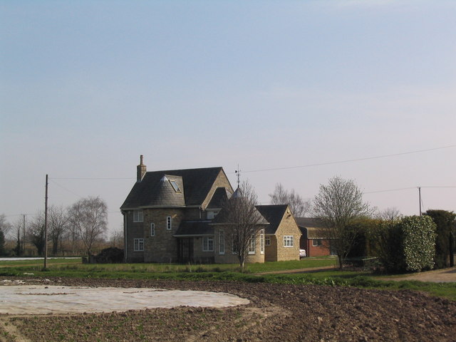
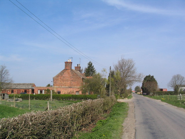
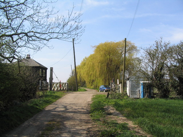
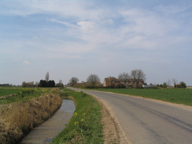
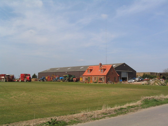
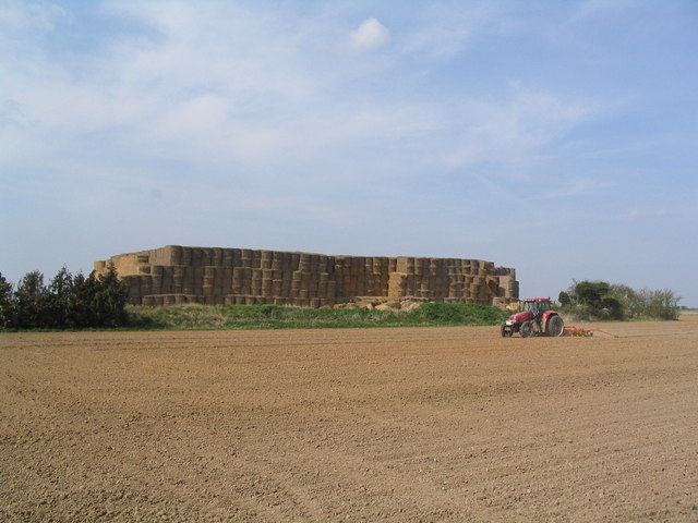
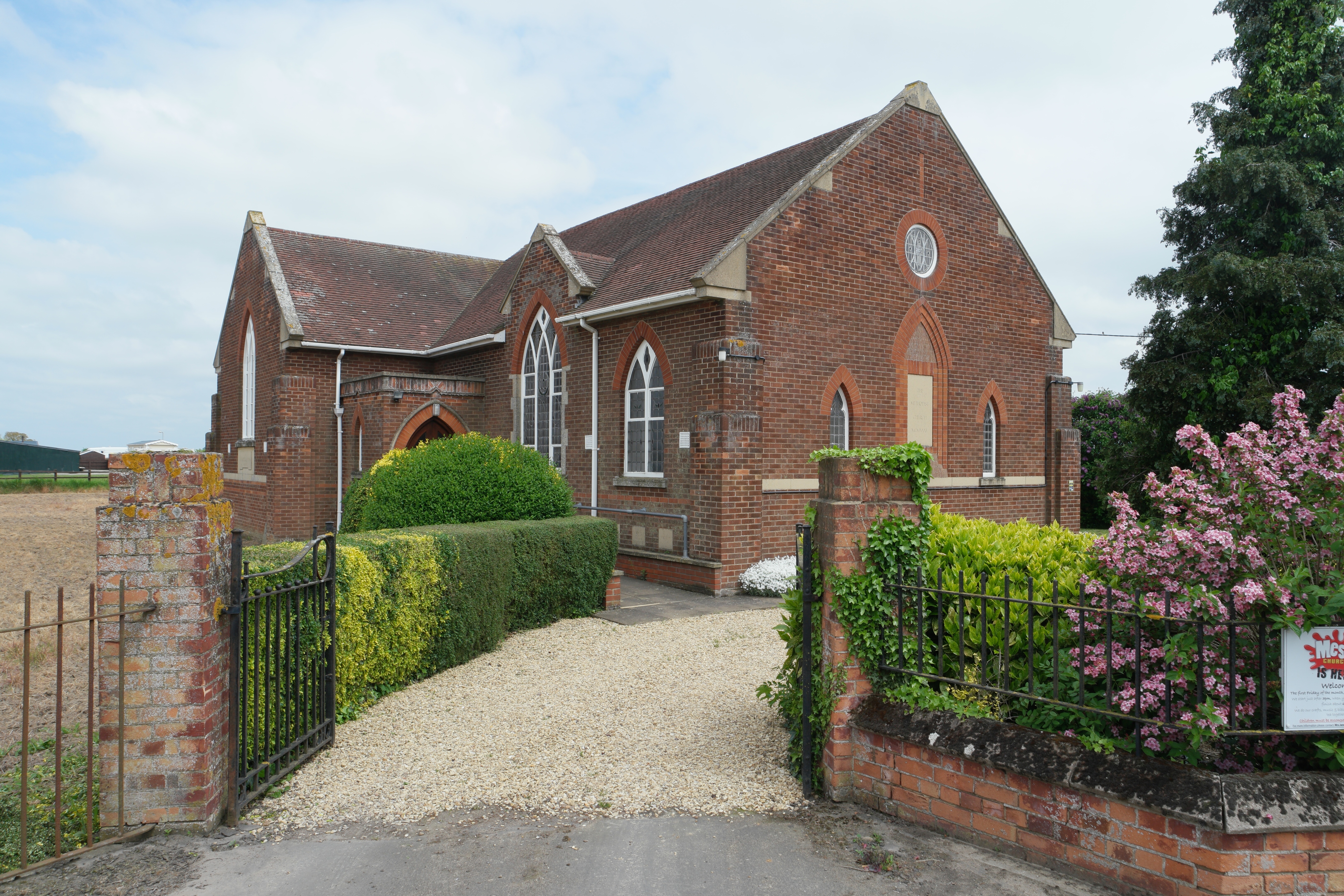
Burtey Fen Images
Images are sourced within 2km of 52.82812/-0.19422929 or Grid Reference TF2127. Thanks to Geograph Open Source API. All images are credited.
Burtey Fen is located at Grid Ref: TF2127 (Lat: 52.82812, Lng: -0.19422929)
Administrative County: Lincolnshire
District: South Holland
Police Authority: Lincolnshire
What 3 Words
///generally.instance.mixed. Near Pinchbeck, Lincolnshire
Nearby Locations
Related Wikis

Pinchbeck railway station
Pinchbeck railway station was a station in Pinchbeck, Lincolnshire, England on the line between Spalding and Sleaford. The station opened in 1882, closed...

Pinchbeck, Lincolnshire
Pinchbeck is a village and civil parish in the South Holland district of Lincolnshire, England. The civil parish population was 5,153 at the 2001 census...

Risegate
Risegate is a village in the civil parish of Gosberton and the South Holland district of Lincolnshire, England. It is 30 miles (50 km) south-east from...
Gosberton Clough
Gosberton Clough is a village in the civil parish of Gosberton and the South Holland district of Lincolnshire, England. It is 30 miles (50 km) south-east...

Gosberton railway station
Gosberton railway station was a station in Gosberton, Lincolnshire. It was opened in 1882 and closed for passengers on 11 September 1961 and freight on...

Surfleet
Surfleet is a small village and civil parish in the South Holland district of Lincolnshire, England. It is situated on the B1356 road, 3 miles (4.8 km...

Gosberton
Gosberton is a village and civil parish in the South Holland district of Lincolnshire, England. It is situated 9 miles (14.5 km) south-west of Boston,...

Westhorpe, Lincolnshire
Westhorpe is a hamlet in the civil parish of Gosberton and the South Holland district of Lincolnshire, England. It is 30 miles (50 km) south-east from...
Nearby Amenities
Located within 500m of 52.82812,-0.19422929Have you been to Burtey Fen?
Leave your review of Burtey Fen below (or comments, questions and feedback).