Crowland Common
Downs, Moorland in Lincolnshire South Holland
England
Crowland Common
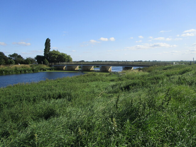
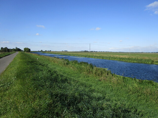
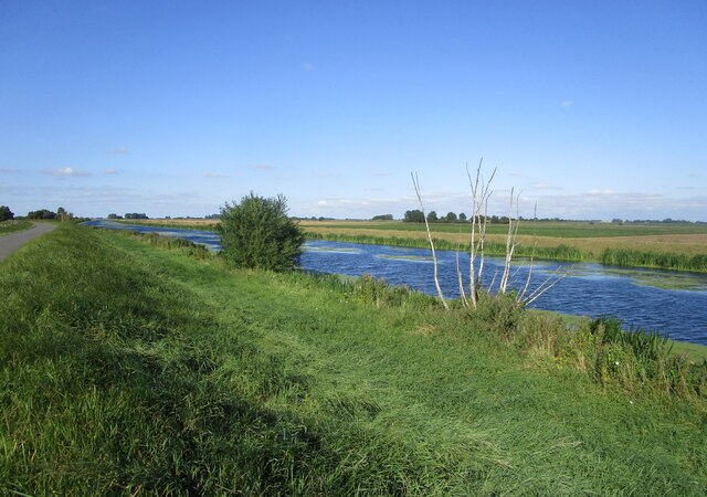
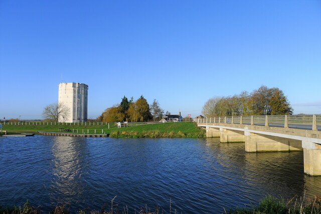
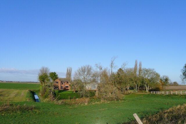
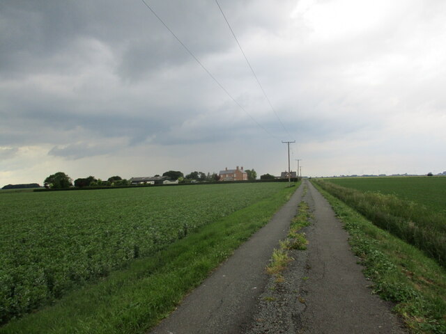
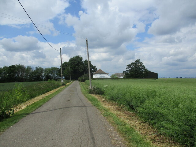
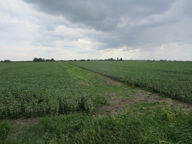
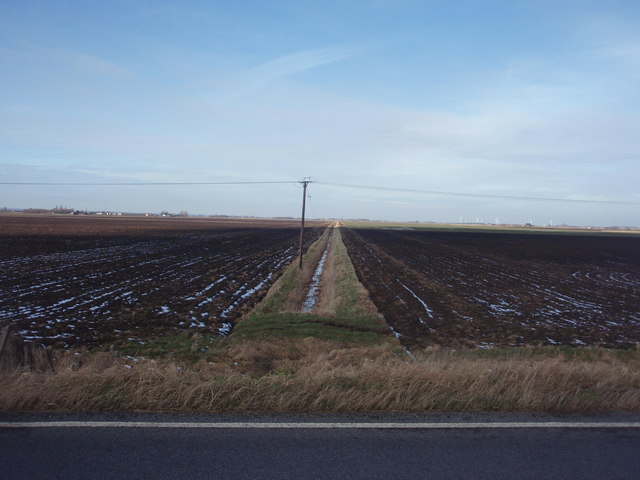
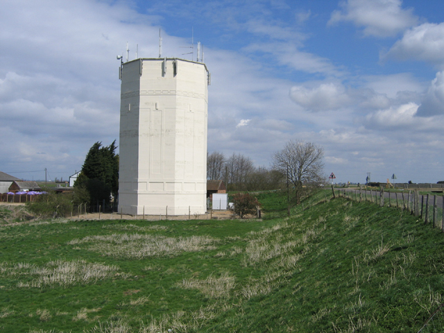
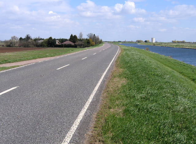
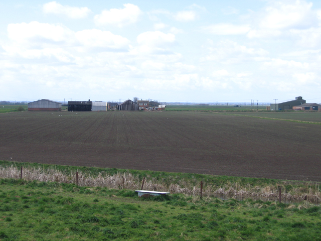
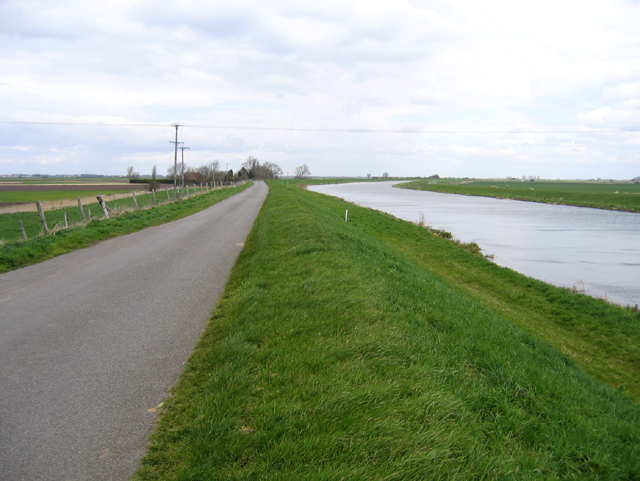
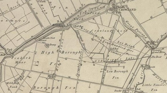
Crowland Common is a picturesque area located in Lincolnshire, England. This vast expanse of land stretches across downs and moorland, offering visitors a diverse and captivating natural landscape. Covering an area of approximately 300 hectares, Crowland Common is a haven for wildlife and a popular destination for nature enthusiasts.
The common is characterized by its undulating downs, which provide panoramic views of the surrounding countryside. These rolling hills are covered in a variety of grasses and wildflowers, creating a vibrant and colorful display throughout the year. The downs are also home to a range of wildlife, including rabbits, foxes, and various bird species.
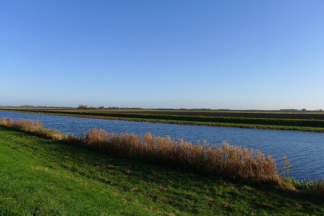
In addition to the downs, Crowland Common features areas of moorland. Here, visitors can explore the unique ecosystem that thrives in this wet and boggy environment. The moorland is dotted with pools and marshes, providing habitats for numerous species of plants and animals, including dragonflies, frogs, and rare bird species.
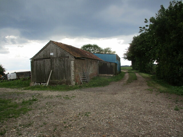
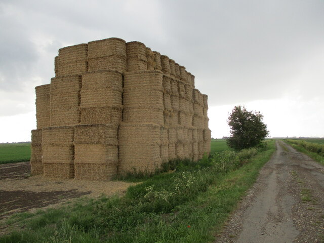
The common is well-maintained, with a network of footpaths that allow visitors to explore its natural wonders. These paths lead through the downs and moorland, offering opportunities for leisurely walks, birdwatching, and photography. There are also designated picnic areas, where visitors can relax and enjoy the stunning surroundings.
Crowland Common is a place of tranquility and beauty, offering a peaceful retreat from the hustle and bustle of everyday life. Whether it's exploring the downs, discovering the unique moorland, or simply enjoying a picnic amidst nature, this Lincolnshire gem provides a truly enriching experience for all who venture to visit.
If you have any feedback on the listing, please let us know in the comments section below.
Crowland Common Images
Images are sourced within 2km of 52.691142/-0.2028017 or Grid Reference TF2111. Thanks to Geograph Open Source API. All images are credited.
Crowland Common is located at Grid Ref: TF2111 (Lat: 52.691142, Lng: -0.2028017)
Administrative County: Lincolnshire
District: South Holland
Police Authority: Lincolnshire
What 3 Words
///shampoos.outlined.outlined. Near Crowland, Lincolnshire
Nearby Locations
Related Wikis

Stowgate
Stowgate is a small settlement in the South Kesteven district of Lincolnshire, England. It is situated approximately 2 miles (3 km) north-east from Deeping...

Crowland
Crowland (modern usage) or Croyland (medieval era name and the one still in ecclesiastical use; cf. Latin: Croilandia) is a town in the South Holland district...

Trinity Bridge, Crowland
Trinity Bridge is a unique three-way stone arch bridge that stands at the heart of Crowland, Lincolnshire, England. While it once spanned the confluence...

Crowland Abbey
Crowland Abbey (historically often spelled Croyland Abbey; Latin: Croilandia) is a Church of England parish church, formerly part of a Benedictine abbey...

Littleworth railway station
Littleworth railway station is a former railway station in Deeping St Nicholas, Lincolnshire, on the Peterborough to Lincoln Line. It opened in 1848 and...

Hop Pole
Hop Pole is a hamlet in the South Holland district of Lincolnshire, England. It is situated between Deeping St James and Deeping St Nicholas, and on the...
Borough Fen
Borough Fen is a civil parish in the City of Peterborough unitary authority in Cambridgeshire, England. The parish is to the north of Peterborough city...

Deeping Fen
Deeping Fen is a low-lying area in the South Holland district of Lincolnshire, England, which covers approximately 47 square miles (120 km2). It is bounded...
Nearby Amenities
Located within 500m of 52.691142,-0.2028017Have you been to Crowland Common?
Leave your review of Crowland Common below (or comments, questions and feedback).