Swinhope Park

Downs, Moorland in Lincolnshire West Lindsey

England

Swinhope Park

Former RAF Binbrook: aerial 2023 (3)
Former RAF Binbrook: aerial 2023 (3) Credit: Chris

Swinhope Park is a picturesque nature reserve located in Lincolnshire, England. Situated on the outskirts of the small village of Swinhope, the park covers a vast area of both downs and moorland landscapes. The park is known for its diverse range of plant and animal species, making it a popular destination for nature enthusiasts and wildlife photographers.

The downs in Swinhope Park offer panoramic views of the surrounding countryside, with rolling hills and lush green meadows stretching as far as the eye can see. These open spaces are home to a variety of wildflowers, including rare species such as the bee orchid and the pasqueflower. Visitors can enjoy leisurely walks along the well-marked trails, taking in the fresh air and peaceful ambiance.

On the other hand, the moorland section of the park provides a completely different experience. Characterized by its rugged terrain, heather-covered hills, and winding streams, this area is a haven for birdwatchers. The park is home to several bird species, including curlews, lapwings, and skylarks. Lucky visitors might even catch a glimpse of the elusive short-eared owl.

Swinhope Park also boasts a small visitor center, offering information about the park's history and wildlife. The center provides educational resources and hosts occasional workshops and guided tours for those interested in learning more about the park's natural wonders.

Overall, Swinhope Park in Lincolnshire is a hidden gem for nature lovers, offering a diverse range of landscapes and a rich variety of plant and animal life. Whether you are seeking a peaceful walk or hoping to spot some rare bird species, this park is a must-visit destination.

If you have any feedback on the listing, please let us know in the comments section below.

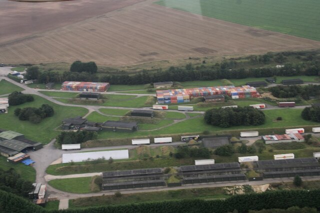
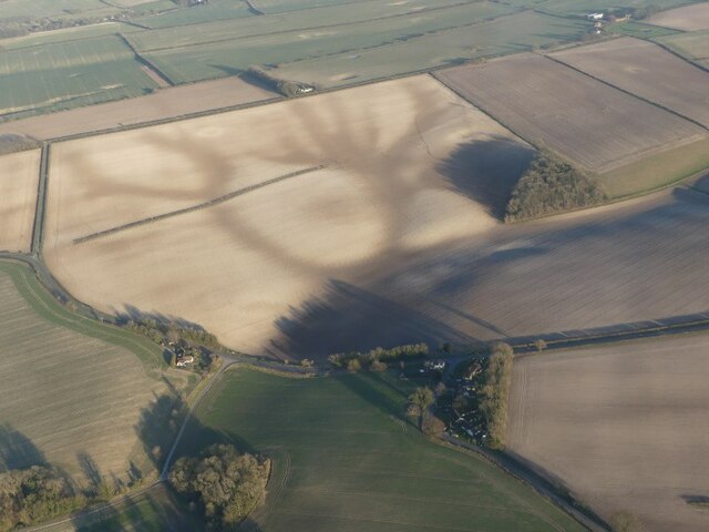
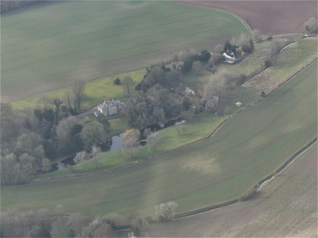
Swinhope Park Images

Images are sourced within 2km of 53.447346/-0.17109739 or Grid Reference TF2196. Thanks to Geograph Open Source API. All images are credited.

Former RAF Binbrook: aerial 2023 (3)
Romano-British Settlement Site, Swinhope: aerial 2022 (1) Cropmarks of a rectilinear complex located on a steeply sloping Wolds valley spur, first recorded as faint germination marks in bare soil in the winter of 1986. Photographs during the summer of 1991 in a ripening cereal crop of the main complex produced additional information which lends weight to the original suggestion that the site represents a Romano-British villa complex. Romano-British potsherds are recorded from the field. 

See: <span class="nowrap"><a title="https://www.heritagegateway.org.uk/Gateway/Results_Single.aspx?uid=MLI50634&resourceID=1006" rel="nofollow ugc noopener" href="https://www.heritagegateway.org.uk/Gateway/Results_Single.aspx?uid=MLI50634&resourceID=1006">Link</a><img style="margin-left:2px;" alt="External link" title="External link - shift click to open in new window" src="https://s1.geograph.org.uk/img/external.png" width="10" height="10"/></span>
Romano-British Settlement Site, Swinhope: aerial 2022 (1)
Cropmarks of a rectilinear complex located on a steeply sloping Wolds valley spur, first recorded as faint germination marks in bare soil in the winter of 1986. Photographs during the summer of 1991 in a ripening cereal crop of the main complex produced additional information which lends weight to the original suggestion that the site represents a Romano-British villa complex. Romano-British potsherds are recorded from the field. See: LinkExternal link
Romano-British Settlement Site, Swinhope: aerial 2022 (2) Cropmarks of a rectilinear complex located on a steeply sloping Wolds valley spur, first recorded as faint germination marks in bare soil in the winter of 1986. Photographs during the summer of 1991 in a ripening cereal crop of the main complex produced additional information which lends weight to the original suggestion that the site represents a Romano-British villa complex. Romano-British potsherds are recorded from the field. 

See: <span class="nowrap"><a title="https://www.heritagegateway.org.uk/Gateway/Results_Single.aspx?uid=MLI50634&resourceID=1006" rel="nofollow ugc noopener" href="https://www.heritagegateway.org.uk/Gateway/Results_Single.aspx?uid=MLI50634&resourceID=1006">Link</a><img style="margin-left:2px;" alt="External link" title="External link - shift click to open in new window" src="https://s1.geograph.org.uk/img/external.png" width="10" height="10"/></span>
Romano-British Settlement Site, Swinhope: aerial 2022 (2)
Cropmarks of a rectilinear complex located on a steeply sloping Wolds valley spur, first recorded as faint germination marks in bare soil in the winter of 1986. Photographs during the summer of 1991 in a ripening cereal crop of the main complex produced additional information which lends weight to the original suggestion that the site represents a Romano-British villa complex. Romano-British potsherds are recorded from the field. See: LinkExternal link
Romano-British Settlement Site, Swinhope: aerial 2022 (3) Cropmarks of a rectilinear complex located on a steeply sloping Wolds valley spur, first recorded as faint germination marks in bare soil in the winter of 1986. Photographs during the summer of 1991 in a ripening cereal crop of the main complex produced additional information which lends weight to the original suggestion that the site represents a Romano-British villa complex. Romano-British potsherds are recorded from the field. 

See: <span class="nowrap"><a title="https://www.heritagegateway.org.uk/Gateway/Results_Single.aspx?uid=MLI50634&resourceID=1006" rel="nofollow ugc noopener" href="https://www.heritagegateway.org.uk/Gateway/Results_Single.aspx?uid=MLI50634&resourceID=1006">Link</a><img style="margin-left:2px;" alt="External link" title="External link - shift click to open in new window" src="https://s1.geograph.org.uk/img/external.png" width="10" height="10"/></span>
Romano-British Settlement Site, Swinhope: aerial 2022 (3)
Cropmarks of a rectilinear complex located on a steeply sloping Wolds valley spur, first recorded as faint germination marks in bare soil in the winter of 1986. Photographs during the summer of 1991 in a ripening cereal crop of the main complex produced additional information which lends weight to the original suggestion that the site represents a Romano-British villa complex. Romano-British potsherds are recorded from the field. See: LinkExternal link
Soilmark on field near Swinhope: aerial 2022 Probably a former marl pit.
Soilmark on field near Swinhope: aerial 2022
Probably a former marl pit.
Circular cropmark on field near Swinhope: aerial 2022 Hard to spot, it is just right of and above centre.
Circular cropmark on field near Swinhope: aerial 2022
Hard to spot, it is just right of and above centre.
Oblong cropmark on field SE of Swinhope: aerial 2022
Possible Roman Villa site east of Swinhope: aerial 2022 (1) The bare arable field.
Possible Roman Villa site east of Swinhope: aerial 2022 (1)
The bare arable field.
Possible Roman Villa site east of Swinhope: aerial 2022 (2)
Cold Harbour, Swinhope: aerial 2022
Direction Sign – Signpost beside the B1203 in Binbrook Located on the southeast side of the junction of the B1203 Swinhope Hill and Newton Lane in Binbrook parish. 3 arms but no finial. See also <a title="https://www.geograph.org.uk/photo/3496528" href="https://www.geograph.org.uk/photo/3496528">Link</a>.

Milestone Society National ID: LI_TF2194
Direction Sign – Signpost beside the B1203 in Binbrook
Located on the southeast side of the junction of the B1203 Swinhope Hill and Newton Lane in Binbrook parish. 3 arms but no finial. See also Link. Milestone Society National ID: LI_TF2194
Binbrook, Chestnuts Farm: aerial 2022
Field SE of Brookenby, and across former R.A.F. Binbrook: aerial 2022 (1) Disused airfield estate (now Brookenby) in <a href="https://www.geograph.org.uk/gridref/TF1995">TF1995</a>.
Field SE of Brookenby, and across former R.A.F. Binbrook: aerial 2022 (1)
Disused airfield estate (now Brookenby) in TF1995.
Field SE of Brookenby, and across former R.A.F. Binbrook: aerial 2022 (2)
Power cables in the Lincolnshire Wolds AONB (1)
Power cables in the Lincolnshire Wolds AONB (2)
Swinhope Hall: aerial 2023
Fields east of Brookenby: aerial 2023
Show me another place!

Swinhope Park is located at Grid Ref: TF2196 (Lat: 53.447346, Lng: -0.17109739)

Administrative County: Lincolnshire

District: West Lindsey

Police Authority: Lincolnshire

What 3 Words

///busy.forgiving.waking. Near Wold Newton, Lincolnshire

Nearby Locations

Swinhope Park Swinhope

Related Wikis

Swinhope

Swinhope is a village and civil parish about 6 miles west south west of North Thoresby railway station, in the West Lindsey district, in the county of...

Brookenby Church

Brookenby Church is located in Brookenby, Lincolnshire, England. A member of the Church of England, it forms part of the Walesby group of churches, which...

Brookenby

Brookenby is a village and civil parish in the West Lindsey district of Lincolnshire, England. The village is situated 7 miles (11 km) north-east from...

Thorganby, Lincolnshire

Thorganby is a village and civil parish in the West Lindsey district of Lincolnshire. England. It is situated approximately 9 miles (14 km) north-east...

Binbrook

Binbrook is a village and civil parish in the East Lindsey district of Lincolnshire, England. It is situated on the B1203 road, and 8 miles (13 km) north...

RAF Binbrook

Royal Air Force Binbrook or RAF Binbrook is a former Royal Air Force station located near Binbrook, Lincolnshire, England. The old domestic site (married...

Wold Newton, Lincolnshire

Wold Newton is a village and civil parish in North East Lincolnshire, England. It is situated just over 1 mile (1.6 km) west from the A18 road, 7 miles...

Croxby

Croxby is a hamlet and former civil parish, now in the parish of Thoresway, in the West Lindsey district of Lincolnshire, England. It is situated approximately...

Nearby Amenities

Located within 500m of 53.447346,-0.17109739
Swinhope
Is In: Lincolnshire, England, UK
Is In District: West Lindsey
Place: village
Wikidata: Q20081043
Lat/Long: 53.4496098/-0.1731891
Bus Stop
Swinhope Road
Naptan AtcoCode: 270000014337
Naptan Bearing: NE
Naptan CommonName: Swinhope Road
Naptan Indicator: adj
Naptan Landmark: Swinhope Road
Naptan NaptanCode: linjpjgt
Naptan Street: B1203
Naptan Verified: no
Source: naptan_import
Lat/Long: 53.4466886/-0.1676189
Bus Stop
Swinhope Road
Naptan AtcoCode: 270000014338
Naptan Bearing: SW
Naptan CommonName: Swinhope Road
Naptan Indicator: opp
Naptan Landmark: Swinhope Road
Naptan NaptanCode: linjpjgw
Naptan Street: B1203
Naptan Verified: no
Source: naptan_import
Lat/Long: 53.4465341/-0.1675051
Swinhope Park
Place: locality
Source: Bing
Lat/Long: 53.4490492/-0.1759027
Description: Swinhope House
Historic: archaeological_site
Lat/Long: 53.4496279/-0.1709859
Power: pole
Lat/Long: 53.4455018/-0.1764357
Power: pole
Lat/Long: 53.4450017/-0.1767951
The data included in this document is from www.openstreetmap.org. The data is made available under ODbL.

Have you been to Swinhope Park?

Leave your review of Swinhope Park below (or comments, questions and feedback).