North End Field Pasture

Downs, Moorland in Yorkshire

England

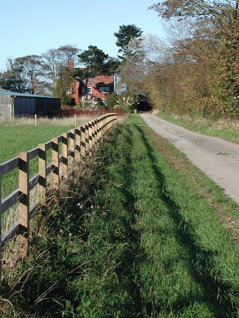
North End Field Pasture

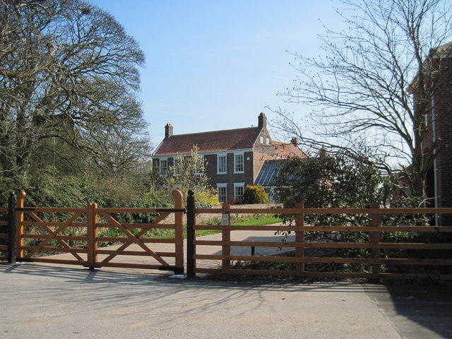
Entrance to West Hill Farm
Entrance to West Hill Farm Credit: Alan Hughes

The requested URL returned error: 429 Too Many Requests

If you have any feedback on the listing, please let us know in the comments section below.

North End Field Pasture Images

Images are sourced within 2km of 53.853096/-0.15629435 or Grid Reference TA2141. Thanks to Geograph Open Source API. All images are credited.

Entrance to West Hill Farm
Lambwath Meadows
Lambwath Meadows
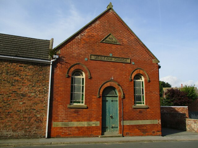
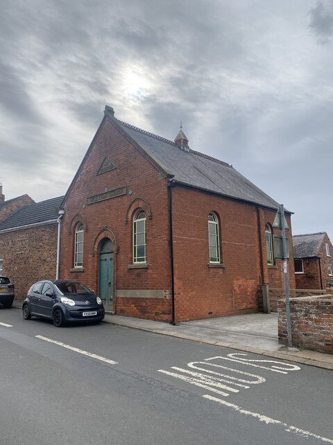
Wesleyan  Church  built  1810  rebuilt  1914  Main  street
Wesleyan Church built 1810 rebuilt 1914 Main street
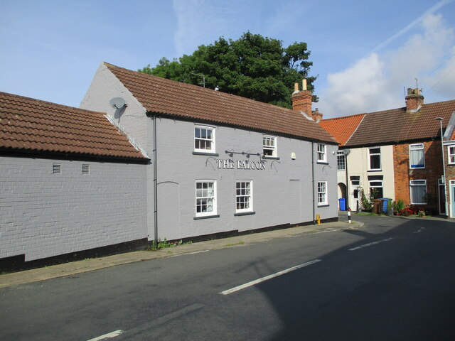
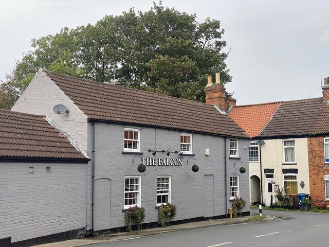
The  Falcon  public  house  Withernwick
The Falcon public house Withernwick
Cowden  Lane  leaving  Withernwick On the left the access road to Whitefields Farm
Cowden Lane leaving Withernwick
On the left the access road to Whitefields Farm
Cowden  Lane  back  toward  Withernwick
Cowden Lane back toward Withernwick
Wesleyan Church, Withernwick
The Falcon, Withernwick
Withernwick Hall The Hall is north of Withernwick village which is in the adjacent square south.
Withernwick Hall
The Hall is north of Withernwick village which is in the adjacent square south.
Main Street, Withernwick Looking north-northwest towards the junction of Main Street and High Street with The Falcon pub on the left, which has traded under this name since 1892. The name Withernwick is thought to be an Anglo-Scandinavian hybrid meaning 'dairy farm near a thorn tree'.
Main Street, Withernwick
Looking north-northwest towards the junction of Main Street and High Street with The Falcon pub on the left, which has traded under this name since 1892. The name Withernwick is thought to be an Anglo-Scandinavian hybrid meaning 'dairy farm near a thorn tree'.
South End, Withernwick Looking east-southeast across Beck Bridge towards The Manor House. The Manor House at South End was built (or rebuilt) in around 1840, possibly on the site of a previous house called Hall Garth which was recorded in 1576. The name Withernwick is thought to be an Anglo-Scandinavian hybrid meaning 'dairy farm near a thorn tree'.
South End, Withernwick
Looking east-southeast across Beck Bridge towards The Manor House. The Manor House at South End was built (or rebuilt) in around 1840, possibly on the site of a previous house called Hall Garth which was recorded in 1576. The name Withernwick is thought to be an Anglo-Scandinavian hybrid meaning 'dairy farm near a thorn tree'.
Butcher's Lane, Withernwick A small paddock off the west side of Butcher's Lane, looking northwest from the public footpath between Withernwick High Street and Cowden Lane.
Butcher's Lane, Withernwick
A small paddock off the west side of Butcher's Lane, looking northwest from the public footpath between Withernwick High Street and Cowden Lane.
Withernwick Hall Late 18th century farmhouse formerly called North End House, looking east-southeast from the garden gate on the public footpath between Butcher's Lane and Cowden Lane, Withernwick.
Withernwick Hall
Late 18th century farmhouse formerly called North End House, looking east-southeast from the garden gate on the public footpath between Butcher's Lane and Cowden Lane, Withernwick.
Withernwick Hall Farmland and piggery at Withernwick Hall, a late 18th century farmhouse formerly called North End House, looking north-northeast along the public footpath from Butcher's Lane to Cowden Lane, Withernwick.
Withernwick Hall
Farmland and piggery at Withernwick Hall, a late 18th century farmhouse formerly called North End House, looking north-northeast along the public footpath from Butcher's Lane to Cowden Lane, Withernwick.
Hill House, North End Farmhouse at the northern end of the public footpath between Butcher's Lane and Cowden Lane, Withernwick.
Hill House, North End
Farmhouse at the northern end of the public footpath between Butcher's Lane and Cowden Lane, Withernwick.
Whitefields, Withernwick Farm off the north side of Cowden Road at North End, Withernwick, looking north along the driveway to the farmhouse.
Whitefields, Withernwick
Farm off the north side of Cowden Road at North End, Withernwick, looking north along the driveway to the farmhouse.
The  driveway  from  Withernwick  Hall
The driveway from Withernwick Hall
Withernwick  Hall An 18th Century L shaped farmhouse formerly known as North End House.Withernwick still has a North End and a South End.
Withernwick Hall
An 18th Century L shaped farmhouse formerly known as North End House.Withernwick still has a North End and a South End.
Show me another place!

North End Field Pasture is located at Grid Ref: TA2141 (Lat: 53.853096, Lng: -0.15629435)

Division: East Riding

Unitary Authority: East Riding of Yorkshire

Police Authority: Humberside

What 3 Words

///tourist.isolated.executive. Near Mappleton, East Yorkshire

Nearby Locations

North End Field Pasture

Related Wikis

Withernwick

Withernwick is a village and civil parish in the East Riding of Yorkshire, England. It is situated approximately 10 miles (16 km) north-east of Hull city...

Holderness

Holderness is an area of the East Riding of Yorkshire, on the north-east coast of England. An area of rich agricultural land, Holderness was marshland...

Great Cowden

Great Cowden is a hamlet in the East Riding of Yorkshire, England, in an area known as Holderness. It is situated approximately 3 miles (5 km) south of...

Cowden, East Riding of Yorkshire

Cowden (or Little Cowden) is a hamlet in the East Riding of Yorkshire, England, in an area known as Holderness. It is situated approximately 5 miles (8...

Nearby Amenities

Located within 500m of 53.853096,-0.15629435
Generator Method: wind_turbine
Generator Source: wind
Generator Type: horizontal_axis
Power: generator
Lat/Long: 53.8531683/-0.1577835
Generator Method: wind_turbine
Generator Source: wind
Generator Type: horizontal_axis
Power: generator
Lat/Long: 53.8497381/-0.1612596
Generator Method: wind_turbine
Generator Source: wind
Generator Type: horizontal_axis
Power: generator
Lat/Long: 53.8509786/-0.1562814
Generator Method: wind_turbine
Generator Output Electricity: 2.05 MW
Generator Source: wind
Generator Type: horizontal_axis
Power: generator
Lat/Long: 53.8568327/-0.1602717
The data included in this document is from www.openstreetmap.org. The data is made available under ODbL.

Have you been to North End Field Pasture?

Leave your review of North End Field Pasture below (or comments, questions and feedback).