Pinchbeck Common
Downs, Moorland in Lincolnshire South Holland
England
Pinchbeck Common

Pinchbeck Common is a picturesque area located in Lincolnshire, England. It is situated between the towns of Spalding and Pinchbeck and covers an extensive area of approximately 200 hectares. The common is characterized by its diverse landscape, encompassing both downs and moorland.
The downs of Pinchbeck Common are characterized by their gently rolling hills and open grassy spaces. These downs provide a scenic backdrop for visitors, offering breathtaking views of the surrounding countryside. The moorland, on the other hand, is marked by its wetter and more marshy terrain. This part of the common is home to a variety of plant and animal species, including heather, cotton grass, and various species of birds.
Pinchbeck Common is a haven for nature enthusiasts and offers a range of outdoor activities. Visitors can explore the area by following the numerous walking trails that meander through the downs and moorland. These trails provide an opportunity to admire the abundant wildlife and take in the natural beauty of the surroundings.
In addition to its natural wonders, Pinchbeck Common also has a rich history. It is believed to have been used as common land for centuries, providing a vital resource for the local community. Today, the common is managed by the local authorities to preserve its natural and cultural heritage.
Overall, Pinchbeck Common is a cherished natural treasure in Lincolnshire, offering visitors a chance to escape the hustle and bustle of everyday life and immerse themselves in the beauty of the English countryside.
If you have any feedback on the listing, please let us know in the comments section below.
Pinchbeck Common Images
Images are sourced within 2km of 52.774221/-0.22525122 or Grid Reference TF1921. Thanks to Geograph Open Source API. All images are credited.


Pinchbeck Common is located at Grid Ref: TF1921 (Lat: 52.774221, Lng: -0.22525122)
Administrative County: Lincolnshire
District: South Holland
Police Authority: Lincolnshire
What 3 Words
///plotting.padlock.curly. Near Spalding, Lincolnshire
Nearby Locations
Related Wikis

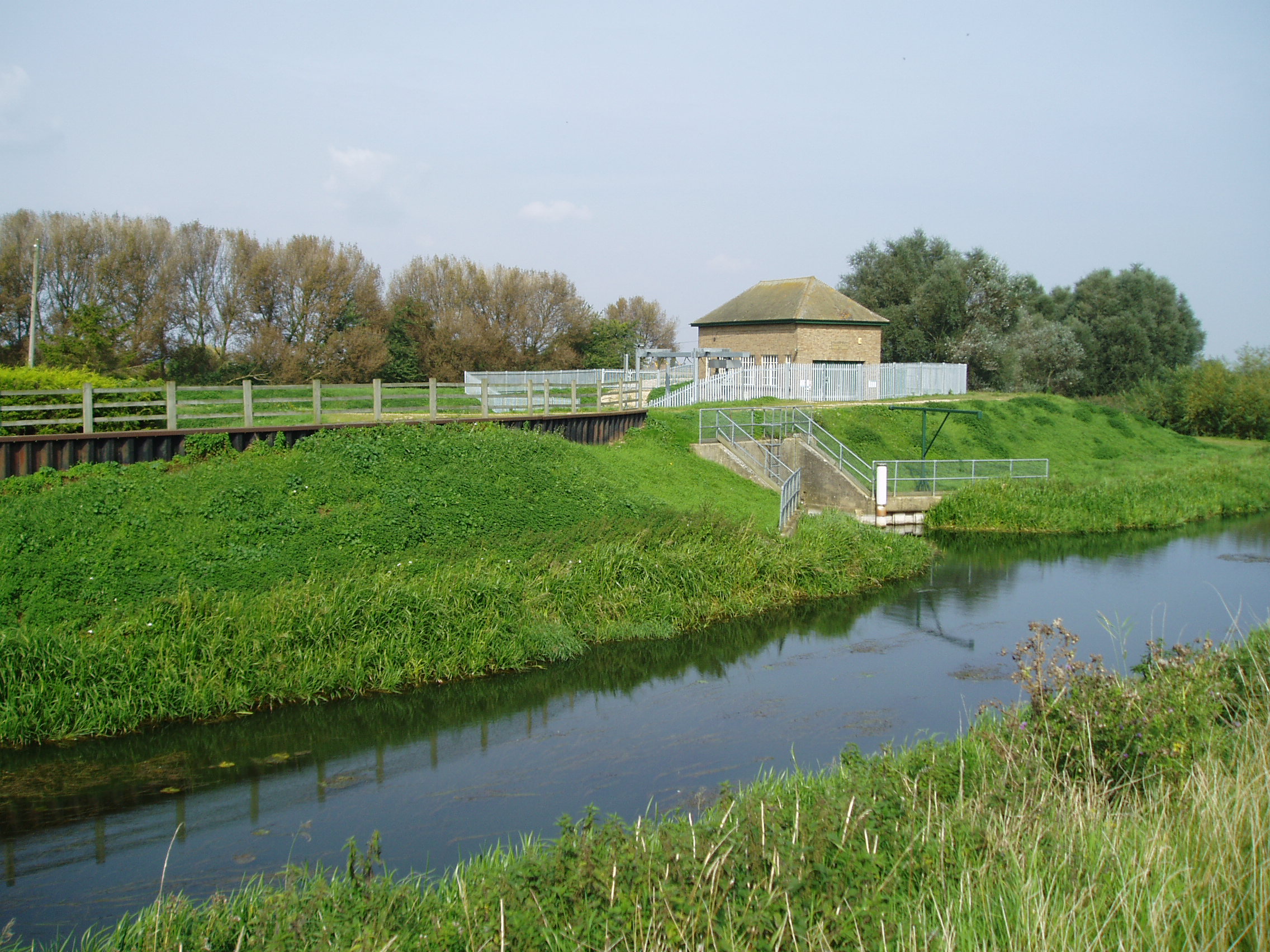
North Drove railway station
North Drove railway station was a station serving Pode Hole in Lincolnshire, England. It was on the route of the Spalding and Bourne Railway (opened 1866...

Willow Tree Fen
Willow Tree Fen is a local nature reserve with an area of over 112.0 ha (277 acres) located near Bourne and Spalding, south of the River Glen, England...
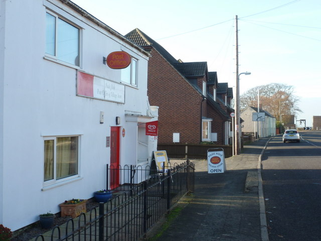
Pode Hole
Pode Hole is a village in South Holland, Lincolnshire, England. It is 2 miles (3.2 km) from Spalding and a similar distance from Bourne. The village lies...

Counter Drain railway station
Counter Drain railway station was a remote station in Lincolnshire serving the village of Tongue End. It was on the route of the Spalding and Bourne Railway...
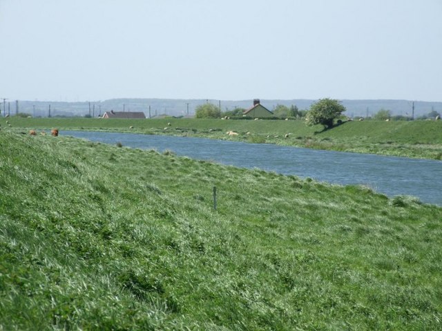
River Glen, Lincolnshire
The River Glen is a river in Lincolnshire, England with a short stretch passing through Rutland near Essendine. The river's name appears to derive from...
Guthram Gowt
Guthram Gowt is a small settlement in the South Holland district of Lincolnshire, England. It is situated 5 miles (8 km) both east from Bourne and west...
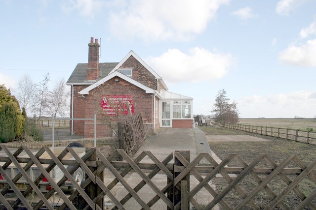
Tongue End
Tongue End is a small village in the South Holland district of Lincolnshire, England. It is situated 4 miles (6 km) east from Bourne and 6 miles (10 km...
Twenty railway station
Twenty railway station served the village of Twenty in Lincolnshire, England. It was on the route of the Spalding and Bourne Railway (opened 1866), later...
Nearby Amenities
Located within 500m of 52.774221,-0.22525122Have you been to Pinchbeck Common?
Leave your review of Pinchbeck Common below (or comments, questions and feedback).