Abbey Parks
Downs, Moorland in Lincolnshire North Kesteven
England
Abbey Parks
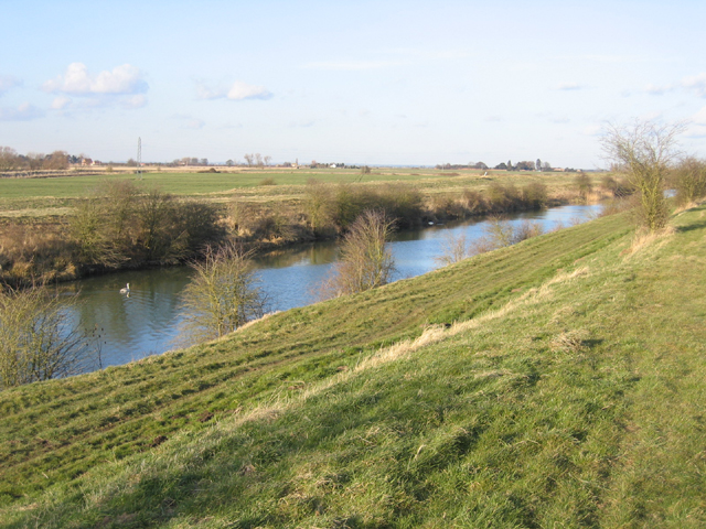
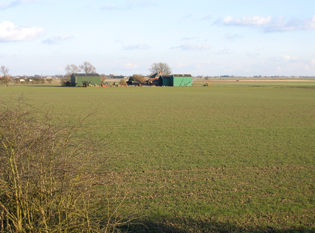
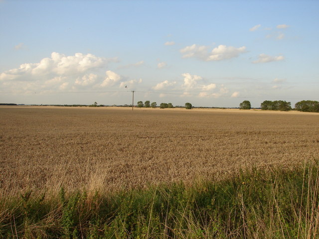
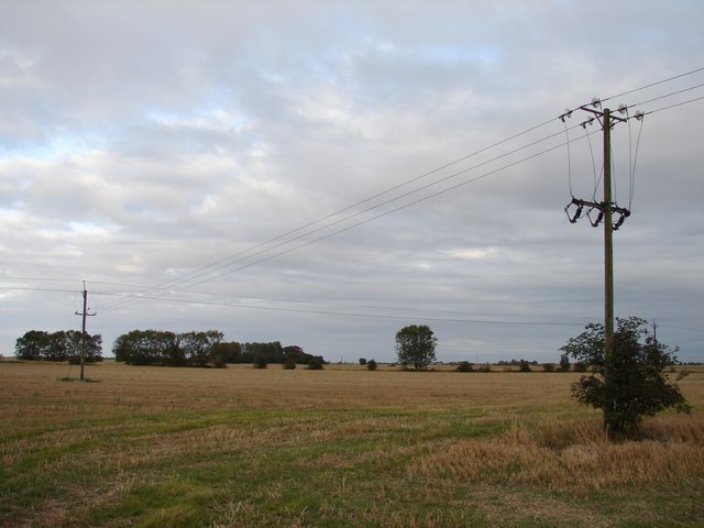
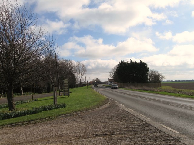
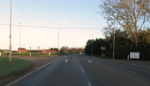
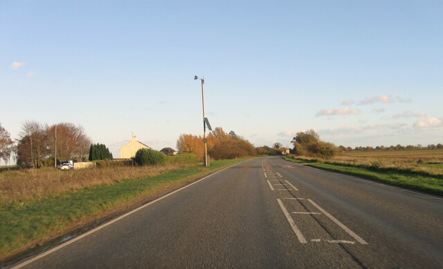
Abbey Parks is a picturesque area located in Lincolnshire, England. This region is known for its stunning landscapes, encompassing both downs and moorland. The downs in Abbey Parks offer expansive rolling hills covered in lush green vegetation, providing a tranquil and idyllic setting for visitors.
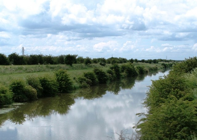
The moorland in Abbey Parks is equally captivating, characterized by open spaces filled with heather, gorse, and wildflowers. This diverse ecosystem is home to a variety of wildlife, including birds, mammals, and insects. Visitors can enjoy exploring the moorland on foot, immersing themselves in the natural beauty and serenity of the area.
Abbey Parks boasts several walking trails and paths that cater to different levels of difficulty, ensuring there is something for everyone. Whether it's a leisurely stroll through the downs or a more challenging hike across the moorland, outdoor enthusiasts will find plenty to satisfy their adventurous spirit.
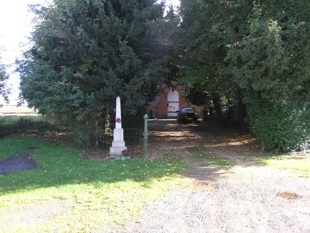
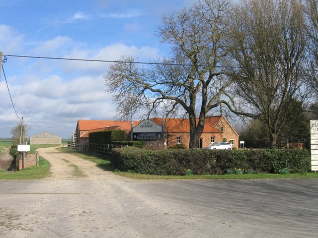
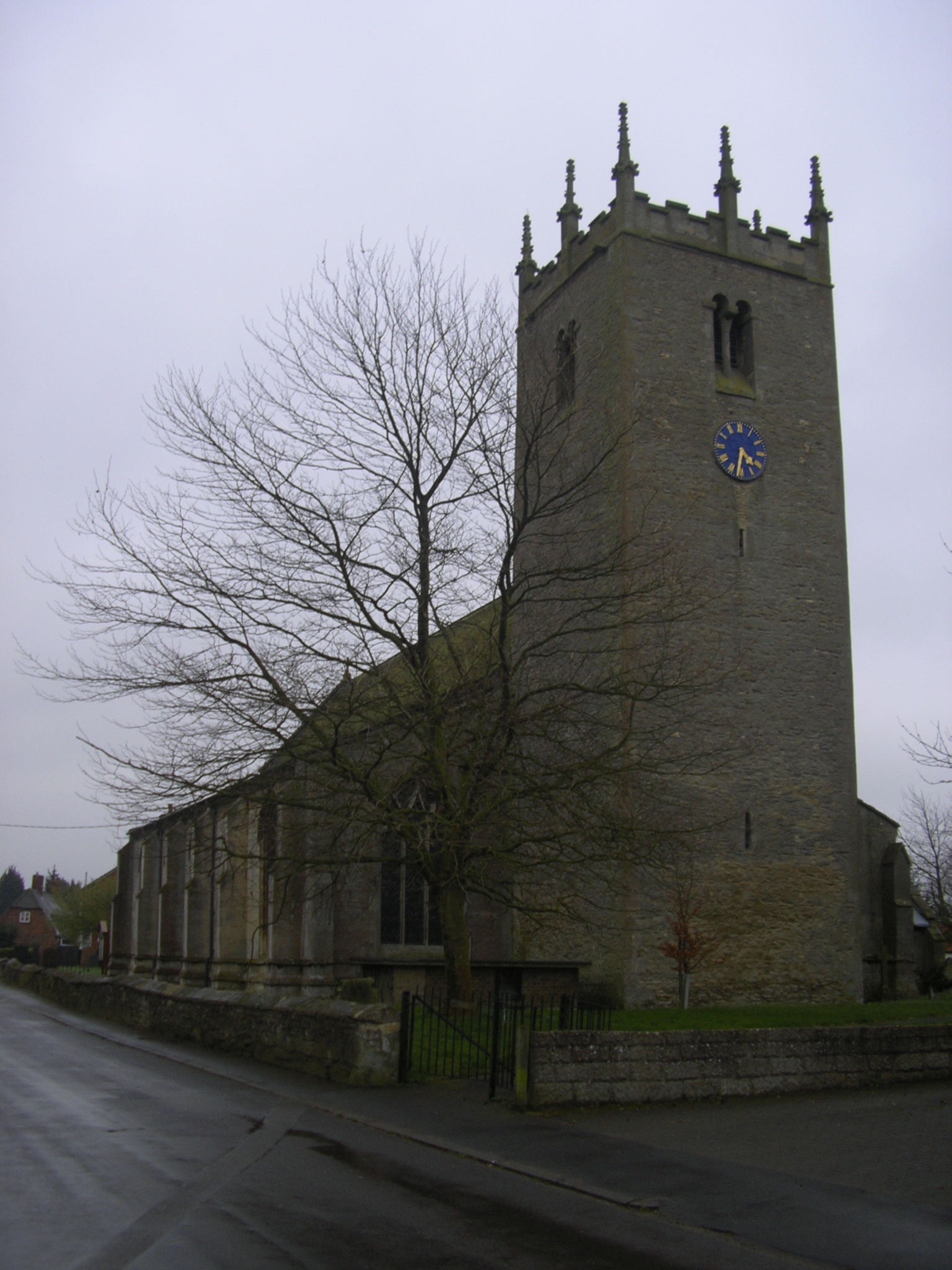
In addition to its natural splendor, Abbey Parks is steeped in history. The area is dotted with ancient ruins and archaeological sites, providing glimpses into its rich past. The ruins of an abbey, after which the region is named, are particularly noteworthy, offering a glimpse into medieval life and architecture.
Overall, Abbey Parks in Lincolnshire is a haven for nature lovers and history enthusiasts alike. With its stunning downs, captivating moorland, and intriguing historical sites, this area promises a memorable and fulfilling experience for visitors seeking to connect with the natural and cultural heritage of the region.
If you have any feedback on the listing, please let us know in the comments section below.
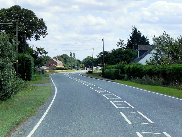
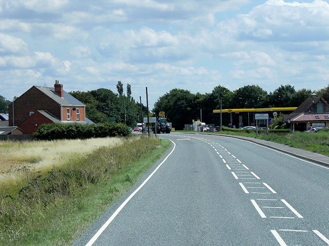
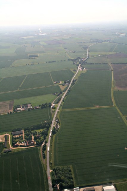
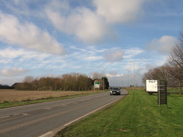
Abbey Parks Images
Images are sourced within 2km of 52.971183/-0.21961994 or Grid Reference TF1943. Thanks to Geograph Open Source API. All images are credited.
Abbey Parks is located at Grid Ref: TF1943 (Lat: 52.971183, Lng: -0.21961994)
Administrative County: Lincolnshire
District: North Kesteven
Police Authority: Lincolnshire
What 3 Words
///hails.skid.punctuate. Near Swineshead, Lincolnshire
Nearby Locations
Related Wikis

Swineshead railway station
Swineshead railway station serves the village of Swineshead in Lincolnshire, England. Although named Swineshead, the station is, in reality, located in...
Great Hale
Great Hale is a village and civil parish in the North Kesteven district of Lincolnshire, England. The population of the civil parish at the 2011 census...

Bicker Gauntlet
Bicker Gauntlet is a village in Lincolnshire, England. It is in the civil parish of Bicker. == External links == Media related to Bicker Gauntlet at Wikimedia...
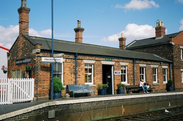
Heckington railway station
Heckington railway station is located in the village of Heckington in Lincolnshire, England. The old station building houses the Heckington Station Railway...
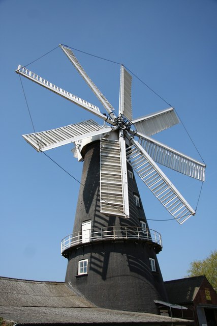
Heckington Windmill
Heckington Windmill is the only eight-sailed tower windmill still standing in the United Kingdom with its sails intact. Heckington is located between Sleaford...

Borough of Boston
The Borough of Boston is a local government district with borough status in Lincolnshire, England. Its council is based in the town of Boston. The borough...

Baythorpe
Baythorpe is a village in Lincolnshire, England. It is in the civil parish of Swineshead. == References == == External links == Media related to Baythorpe...

Little Hale
Little Hale is a hamlet and civil parish in the North Kesteven district of Lincolnshire, England. It is situated 5 miles (8 km) south-east from the town...
Nearby Amenities
Located within 500m of 52.971183,-0.21961994Have you been to Abbey Parks?
Leave your review of Abbey Parks below (or comments, questions and feedback).