Heatherlea
Settlement in Morayshire
Scotland
Heatherlea
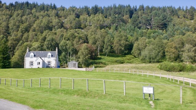
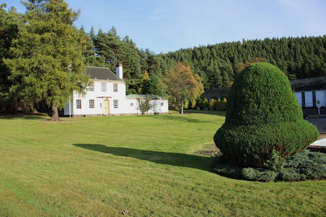
Heatherlea is a small village located in the county of Morayshire, which is situated in the northeastern part of Scotland. The village lies in a picturesque setting, surrounded by rolling hills and lush green fields. It is situated approximately 8 miles southeast of the town of Dufftown and around 10 miles northwest of Keith.
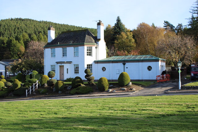
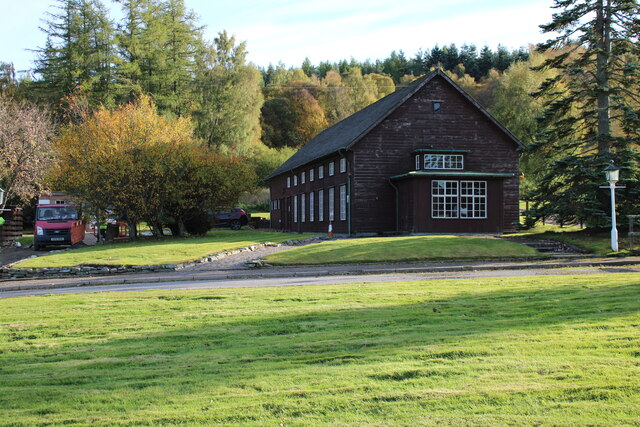
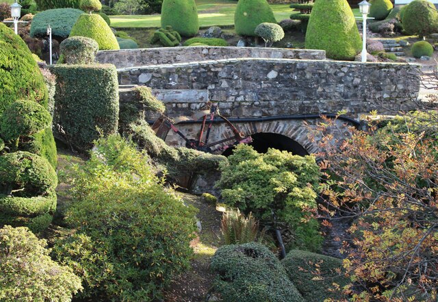
Heatherlea is known for its tranquil and peaceful atmosphere, making it an ideal destination for those seeking a getaway from the hustle and bustle of city life. The village is characterized by traditional Scottish architecture, with charming stone cottages and well-manicured gardens lining its streets.
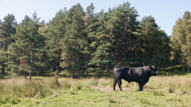
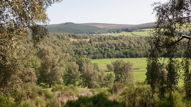
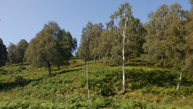
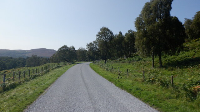
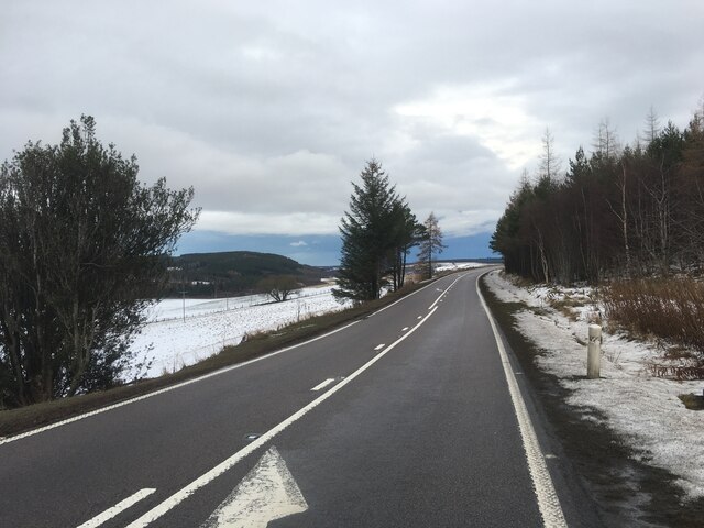
One of the main attractions in Heatherlea is the beautiful countryside that surrounds the village. Visitors can explore the scenic landscape through hiking and walking trails, which offer breathtaking views of the Moray Firth and the Spey Valley. The area is also rich in wildlife, with various species of birds, deer, and other animals frequently spotted.
In terms of amenities, Heatherlea boasts a few local shops and amenities for residents and visitors. However, for a wider range of services, many residents tend to commute to nearby towns. The village is well-connected by road, with easy access to major transport links, making it convenient for commuting or exploring the wider Morayshire area.
Overall, Heatherlea offers a peaceful and idyllic escape, with its stunning natural surroundings and traditional Scottish charm attracting visitors from near and far.
If you have any feedback on the listing, please let us know in the comments section below.
Heatherlea Images
Images are sourced within 2km of 57.397432/-3.4160038 or Grid Reference NJ1535. Thanks to Geograph Open Source API. All images are credited.


Heatherlea is located at Grid Ref: NJ1535 (Lat: 57.397432, Lng: -3.4160038)
Unitary Authority: Highland
Police Authority: Highlands and Islands
What 3 Words
///mildest.intruding.subway. Near Grantown-on-Spey, Highland
Nearby Locations
Related Wikis

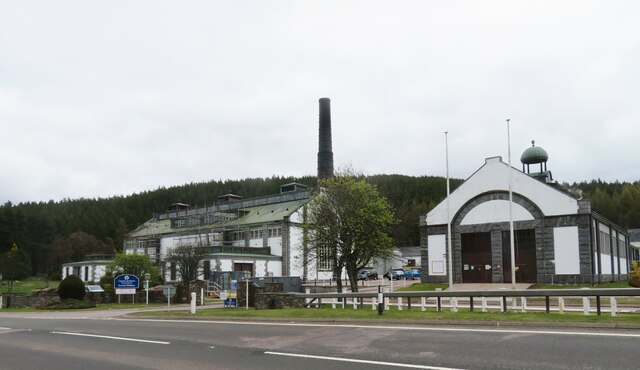
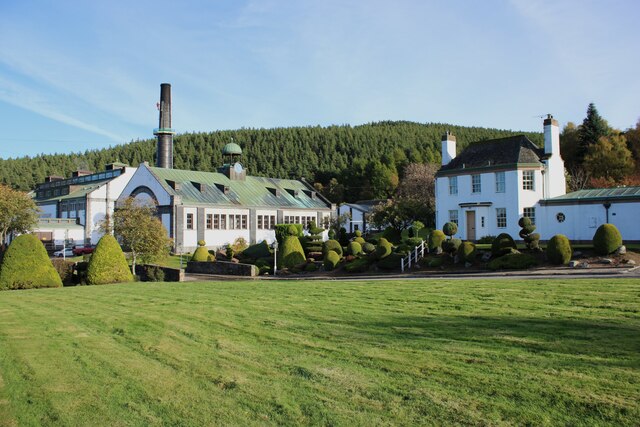
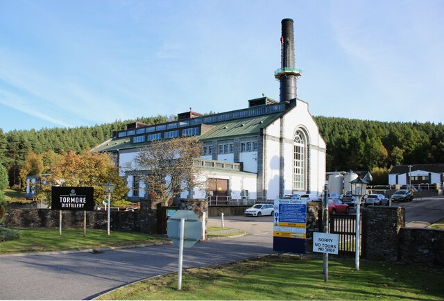
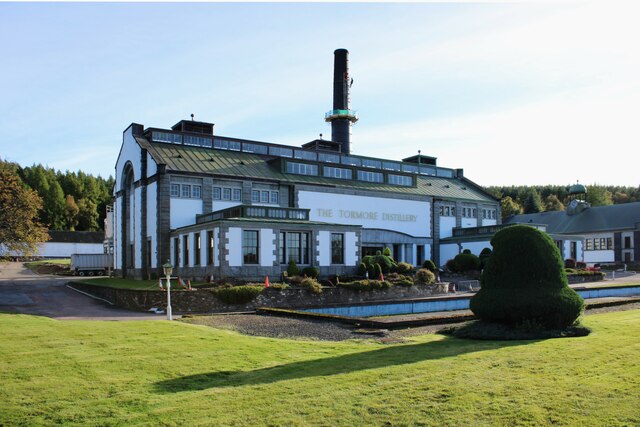
Tormore distillery
Tormore distillery is a Speyside single malt Scotch whisky distillery located approximately 1 km south of the River Spey. Its water source is the Allt...

Cragganmore distillery
Cragganmore distillery is a Scotch whisky distillery situated in the village of Ballindalloch in Banffshire, Scotland. == History == The distillery was...

Advie railway station
Advie railway station served the village of Advie, Morayshire, in Scotland. == History == Opened by the Strathspey Railway (GNoSR), it was absorbed by...

Ballindalloch railway station
Ballindalloch railway station served the village of Ballindalloch, Banffshire, Scotland from 1863 to 1965 on the Strathspey Railway. == History == The...
Nearby Amenities
Located within 500m of 57.397432,-3.4160038Have you been to Heatherlea?
Leave your review of Heatherlea below (or comments, questions and feedback).