Queens Park
Downs, Moorland in Huntingdonshire Huntingdonshire
England
Queens Park
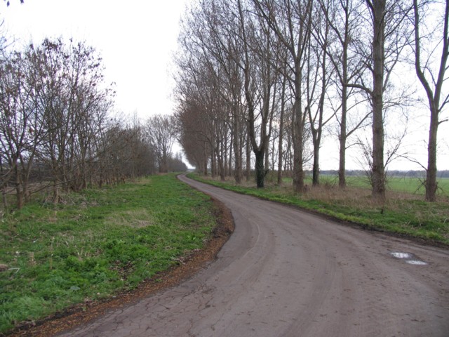
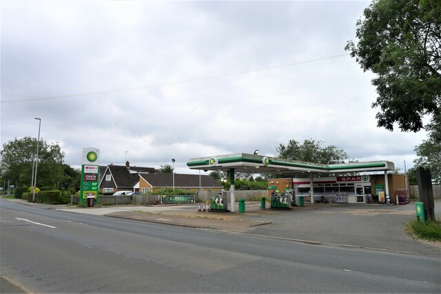
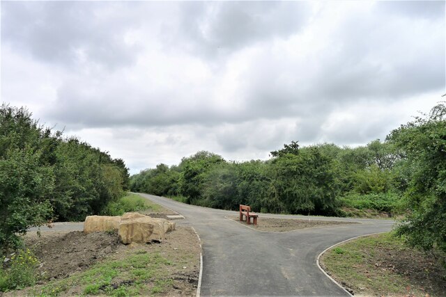
Queens Park, Huntingdonshire, also known as Downs or Moorland, is a picturesque area located in the county of Cambridgeshire, England. Covering an approximate area of 200 acres, it is a popular destination for nature enthusiasts and outdoor lovers.
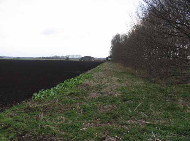
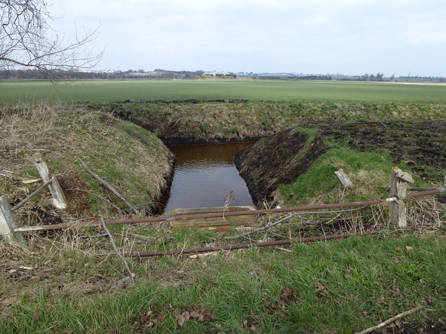
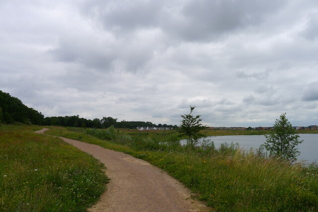
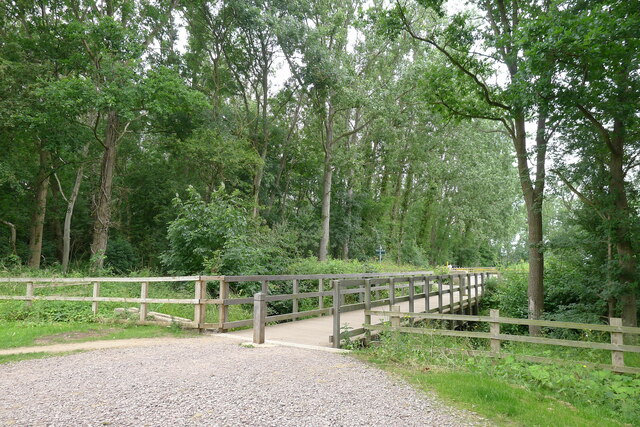
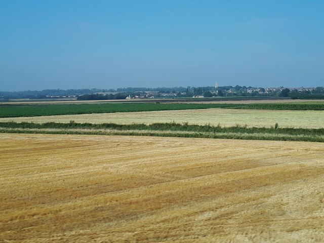
The park boasts a diverse landscape, characterized by rolling hills, open meadows, and patches of dense woodland. The Downs area, in particular, offers breathtaking views of the surrounding countryside, making it an ideal spot for peaceful walks and scenic picnics. The Moorland section of the park features vast expanses of heather and gorse, creating a stunning purple and yellow tapestry during the blooming season.
The park is home to a rich variety of flora and fauna, including several rare and protected species. Visitors may spot rabbits, foxes, and various bird species while exploring the park's trails. Additionally, the area is known for its vibrant butterfly population, attracting butterfly enthusiasts from near and far.
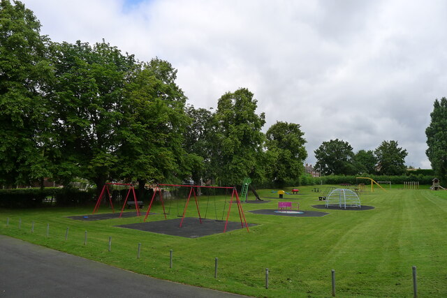
Queens Park offers recreational activities for people of all ages. It provides ample space for leisurely strolls, jogging, and dog walking. The park also features designated areas for sports such as football, cricket, and rugby. Families can enjoy the playground facilities and picnic areas scattered throughout the park.
The park's management ensures the preservation of its natural beauty and encourages visitors to respect the environment by following designated paths and taking their litter home. Queens Park, Huntingdonshire, provides a tranquil escape from the hustle and bustle of everyday life, offering a unique opportunity to commune with nature in a picturesque setting.
If you have any feedback on the listing, please let us know in the comments section below.
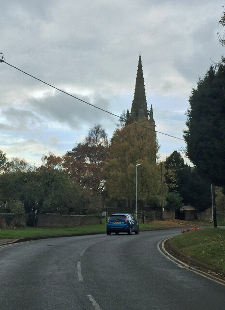
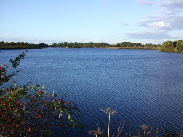
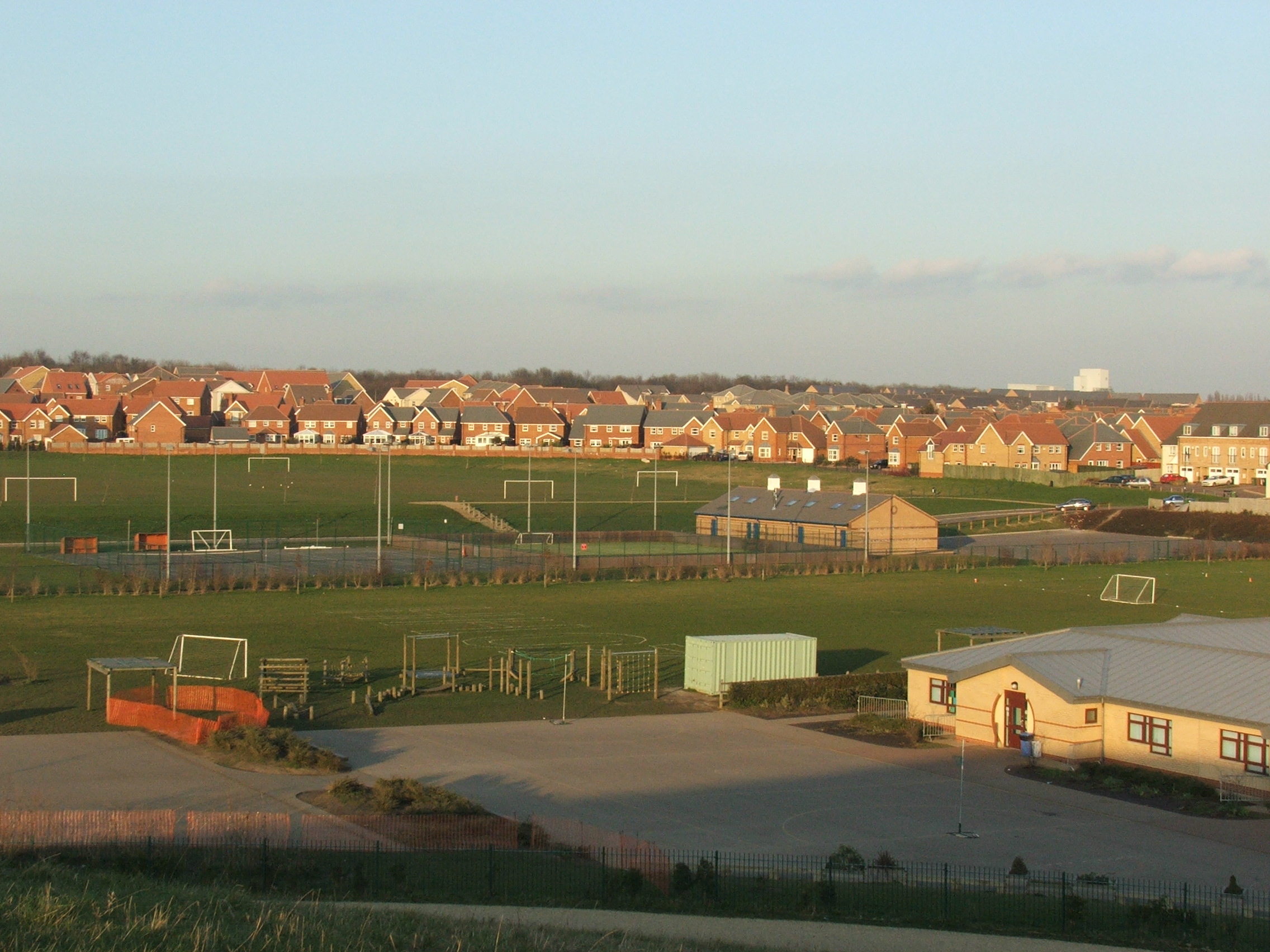
Queens Park Images
Images are sourced within 2km of 52.518635/-0.25947573 or Grid Reference TL1892. Thanks to Geograph Open Source API. All images are credited.


Queens Park is located at Grid Ref: TL1892 (Lat: 52.518635, Lng: -0.25947573)
Administrative County: Cambridgeshire
District: Huntingdonshire
Police Authority: Cambridgeshire
What 3 Words
///nametag.hood.lighten. Near Yaxley, Cambridgeshire
Nearby Locations
Related Wikis

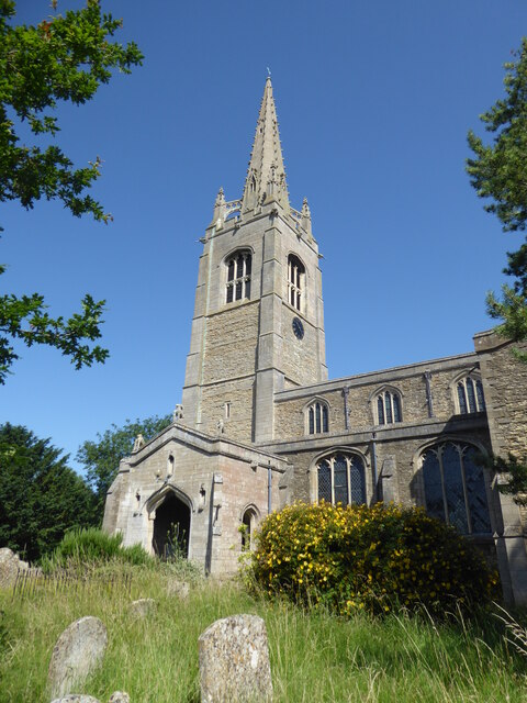
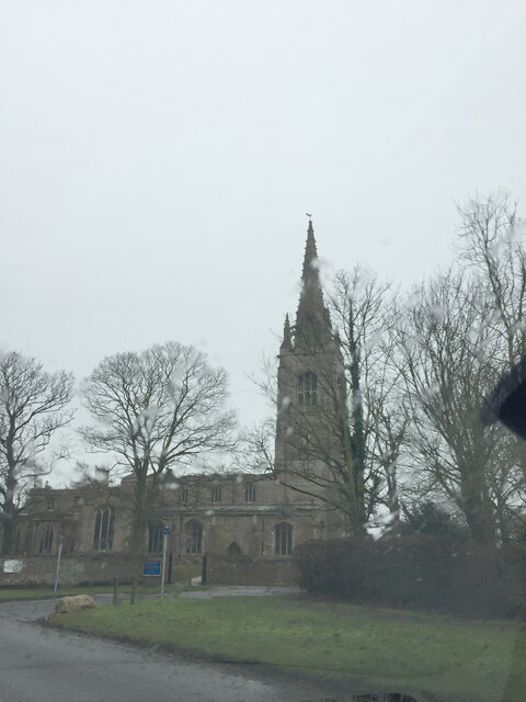
Yaxley, Cambridgeshire
Yaxley is a village and civil parish in the Huntingdonshire district in Cambridgeshire, England. Yaxley lies approximately 4 miles (6 km) south of Peterborough...

Yaxley F.C.
Yaxley Football Club is a football club based in Yaxley, Cambridgeshire, England. They are currently members of the United Counties League Premier Division...

Yaxley and Farcet railway station
Yaxley and Farcet railway station is a former station in Yaxley, Cambridgeshire, just south of Peterborough. == History == The station was opened by the...
Great Haddon
Great Haddon is a major settlement proposed in Peterborough, Cambridgeshire, England, near Yaxley. It was granted planning permission in 2015 after a lengthy...
Hampton College, Peterborough
Hampton College is an all-through school for pupils aged 4 to 18, located in Hampton, Peterborough, England.The school opened to years 7 and 8 in September...
Hampton, Peterborough
Hampton is a developing township to the south of Peterborough, in the Peterborough district, in the ceremonial county of Cambridgeshire, England. ��2...
Hampton Nature Reserve
Hampton Nature Reserve, to the south of Peterborough, England is home to Europe's largest population of great crested newts. The site is a Special Area...

Serpentine Green
Serpentine Green is a shopping centre that opened 8 February 1999 in the Hampton Hargate district of Southern Peterborough in England. It is named after...
Nearby Amenities
Located within 500m of 52.518635,-0.25947573Have you been to Queens Park?
Leave your review of Queens Park below (or comments, questions and feedback).