Little Hale Fen

Downs, Moorland in Lincolnshire North Kesteven

England

Little Hale Fen

The Old Forty Foot Bank Largely outlining the original drainage scheme of the 1640s, this is a little to the west of the current Forty Foot, which dates from 1762.
The Old Forty Foot Bank Credit: Bob Harvey

Little Hale Fen is a unique and picturesque area located in Lincolnshire, England. Situated in the district of North Kesteven, it is a part of the larger Fenland area renowned for its diverse and abundant wildlife. Little Hale Fen is characterized by its rolling downs and expansive moorland, offering breathtaking views and a tranquil atmosphere.

Covering an area of approximately 500 acres, Little Hale Fen boasts a rich and varied landscape. The downs are gently undulating hills covered in lush green grass, creating a perfect habitat for grazing livestock. The moorland, on the other hand, is a vast expanse of heathland adorned with colorful wildflowers and scattered patches of marshy terrain.

This fenland area is home to a wide range of flora and fauna. The rich soil and wetland habitats support a variety of plant species, including rare orchids, sedges, and reeds. The diverse vegetation attracts numerous bird species, making it a popular destination for birdwatchers. Visitors may spot rare birds such as marsh harriers, bitterns, and curlews.

Little Hale Fen offers excellent opportunities for outdoor activities such as hiking, walking, and wildlife photography. The peaceful and unspoiled surroundings make it an ideal place for nature-lovers to explore and appreciate the natural beauty of the area.

Overall, Little Hale Fen in Lincolnshire is a hidden gem for those seeking a serene and picturesque escape. With its rolling downs, expansive moorland, and abundant wildlife, this fenland area provides a haven for nature enthusiasts and offers a unique glimpse into the diverse ecosystems of Lincolnshire.

If you have any feedback on the listing, please let us know in the comments section below.

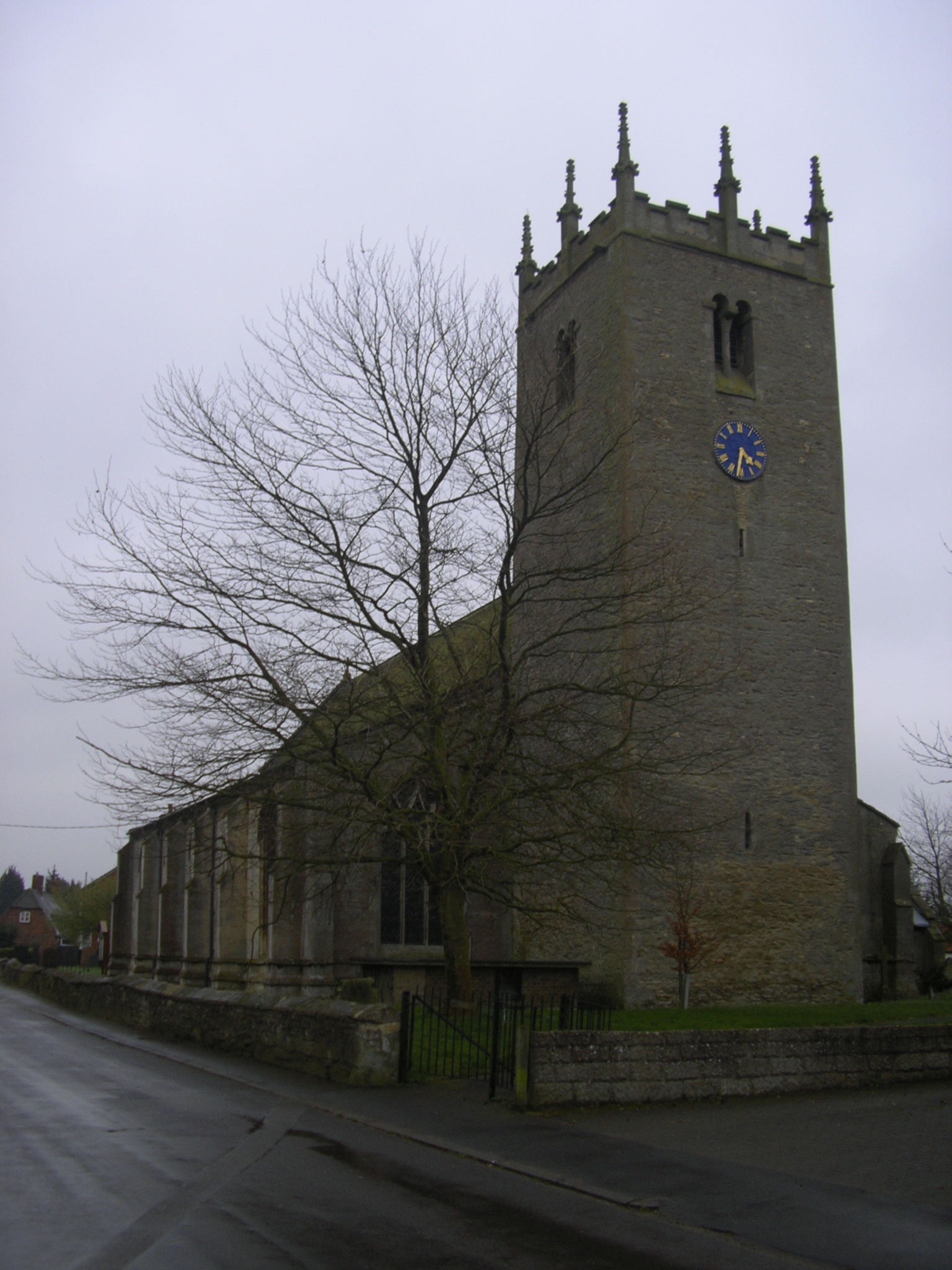
Little Hale Fen Images

Images are sourced within 2km of 52.944813/-0.25347599 or Grid Reference TF1740. Thanks to Geograph Open Source API. All images are credited.

The Old Forty Foot Bank Largely outlining the original drainage scheme of the 1640s, this is a little to the west of the current Forty Foot, which dates from 1762.
The Old Forty Foot Bank
Largely outlining the original drainage scheme of the 1640s, this is a little to the west of the current Forty Foot, which dates from 1762.
Little Hale Fen The Fens, also known as the Fenland, is a naturally marshy region in eastern England. Most of the fens were drained several centuries ago, resulting in a flat, damp, low-lying agricultural region.
A fen is the local name for an individual area of marshland or former marshland and also designates the type of marsh typical of the area, which has neutral or alkaline water chemistry and relatively large quantities of dissolved minerals, but few other plant nutrients.
Fenland primarily lies around the coast of the Wash; it reaches into four counties: Lincolnshire, Cambridgeshire, Norfolk and a small area of Suffolk, as well as the historic county of Huntingdonshire. In whole it occupies an area of nearly 1,500 sq miles.
Most of the Fenland lies within a few metres of sea level. As with similar areas in the Netherlands, much of the Fenland originally consisted of fresh- or salt-water wetlands, which have been artificially drained and continue to be protected from floods by drainage banks and pumps.
Little Hale Fen
The Fens, also known as the Fenland, is a naturally marshy region in eastern England. Most of the fens were drained several centuries ago, resulting in a flat, damp, low-lying agricultural region. A fen is the local name for an individual area of marshland or former marshland and also designates the type of marsh typical of the area, which has neutral or alkaline water chemistry and relatively large quantities of dissolved minerals, but few other plant nutrients. Fenland primarily lies around the coast of the Wash; it reaches into four counties: Lincolnshire, Cambridgeshire, Norfolk and a small area of Suffolk, as well as the historic county of Huntingdonshire. In whole it occupies an area of nearly 1,500 sq miles. Most of the Fenland lies within a few metres of sea level. As with similar areas in the Netherlands, much of the Fenland originally consisted of fresh- or salt-water wetlands, which have been artificially drained and continue to be protected from floods by drainage banks and pumps.
Bicker Fen
Bicker Fen
Farm track near Car Dyke Farm Off Little Hale Drove.
Farm track near Car Dyke Farm
Off Little Hale Drove.
Drain beside Little Hale Drove
Little Hale Drove Towards Little Hale Fen.
Little Hale Drove
Towards Little Hale Fen.
Track to Glebe Farm Off Little Hale Drove.
Track to Glebe Farm
Off Little Hale Drove.
Little Hale Drove near Glebe Farm Towards Little Hale Fen
Little Hale Drove near Glebe Farm
Towards Little Hale Fen
Crop field beside woodland, Willow Farm Little Hale Fen off Little Hale Drove.
Crop field beside woodland, Willow Farm
Little Hale Fen off Little Hale Drove.
Drain, Little Hale Fen Beside Little Hale Drove.
Drain, Little Hale Fen
Beside Little Hale Drove.
Little Hale Drove near Willow Farm Heading south east on Little Hale Fen.
Little Hale Drove near Willow Farm
Heading south east on Little Hale Fen.
Crop field and pylon, Little Hale Fen Off Little Hale Drove.
Crop field and pylon, Little Hale Fen
Off Little Hale Drove.
Crop field, Little Hale Fen Off Little Hale Drove.
Crop field, Little Hale Fen
Off Little Hale Drove.
Little Hale Drove Heading south east.
Little Hale Drove
Heading south east.
Road towards Broadhurst Farm The Fens, also known as the Fenland, is a naturally marshy region in eastern England. Most of the fens were drained several centuries ago, resulting in a flat, damp, low-lying agricultural region.
A fen is the local name for an individual area of marshland or former marshland and also designates the type of marsh typical of the area, which has neutral or alkaline water chemistry and relatively large quantities of dissolved minerals, but few other plant nutrients.
Fenland primarily lies around the coast of the Wash; it reaches into four counties: Lincolnshire, Cambridgeshire, Norfolk and a small area of Suffolk, as well as the historic county of Huntingdonshire. In whole it occupies an area of nearly 1,500 sq miles.
Most of the Fenland lies within a few metres of sea level. As with similar areas in the Netherlands, much of the Fenland originally consisted of fresh- or salt-water wetlands, which have been artificially drained and continue to be protected from floods by drainage banks and pumps.
Road towards Broadhurst Farm
The Fens, also known as the Fenland, is a naturally marshy region in eastern England. Most of the fens were drained several centuries ago, resulting in a flat, damp, low-lying agricultural region. A fen is the local name for an individual area of marshland or former marshland and also designates the type of marsh typical of the area, which has neutral or alkaline water chemistry and relatively large quantities of dissolved minerals, but few other plant nutrients. Fenland primarily lies around the coast of the Wash; it reaches into four counties: Lincolnshire, Cambridgeshire, Norfolk and a small area of Suffolk, as well as the historic county of Huntingdonshire. In whole it occupies an area of nearly 1,500 sq miles. Most of the Fenland lies within a few metres of sea level. As with similar areas in the Netherlands, much of the Fenland originally consisted of fresh- or salt-water wetlands, which have been artificially drained and continue to be protected from floods by drainage banks and pumps.
Track and drain near Broadhurst Farm
Prepared field and power lines near Broadhurst Farm The Fens, also known as the Fenland, is a naturally marshy region in eastern England. Most of the fens were drained several centuries ago, resulting in a flat, damp, low-lying agricultural region.
A fen is the local name for an individual area of marshland or former marshland and also designates the type of marsh typical of the area, which has neutral or alkaline water chemistry and relatively large quantities of dissolved minerals, but few other plant nutrients.
Fenland primarily lies around the coast of the Wash; it reaches into four counties: Lincolnshire, Cambridgeshire, Norfolk and a small area of Suffolk, as well as the historic county of Huntingdonshire. In whole it occupies an area of nearly 1,500 sq miles.
Most of the Fenland lies within a few metres of sea level. As with similar areas in the Netherlands, much of the Fenland originally consisted of fresh- or salt-water wetlands, which have been artificially drained and continue to be protected from floods by drainage banks and pumps.
Prepared field and power lines near Broadhurst Farm
The Fens, also known as the Fenland, is a naturally marshy region in eastern England. Most of the fens were drained several centuries ago, resulting in a flat, damp, low-lying agricultural region. A fen is the local name for an individual area of marshland or former marshland and also designates the type of marsh typical of the area, which has neutral or alkaline water chemistry and relatively large quantities of dissolved minerals, but few other plant nutrients. Fenland primarily lies around the coast of the Wash; it reaches into four counties: Lincolnshire, Cambridgeshire, Norfolk and a small area of Suffolk, as well as the historic county of Huntingdonshire. In whole it occupies an area of nearly 1,500 sq miles. Most of the Fenland lies within a few metres of sea level. As with similar areas in the Netherlands, much of the Fenland originally consisted of fresh- or salt-water wetlands, which have been artificially drained and continue to be protected from floods by drainage banks and pumps.
Fenland road with adjacent drain Towards Broadhurst Farm.
Fenland road with adjacent drain
Towards Broadhurst Farm.
Show me another place!

Little Hale Fen is located at Grid Ref: TF1740 (Lat: 52.944813, Lng: -0.25347599)

Administrative County: Lincolnshire

District: North Kesteven

Police Authority: Lincolnshire

What 3 Words

///swarm.simple.meatballs. Near Heckington, Lincolnshire

Nearby Locations

Little Hale Fen

Related Wikis

Little Hale

Little Hale is a hamlet and civil parish in the North Kesteven district of Lincolnshire, England. It is situated 5 miles (8 km) south-east from the town...

Helpringham

Helpringham is a village and civil parish in the North Kesteven district of Lincolnshire, England. It lies on the edge of the Fens, and 5 miles (8 km)...

Great Hale

Great Hale is a village and civil parish in the North Kesteven district of Lincolnshire, England. The population of the civil parish at the 2011 census...

Bicker Gauntlet

Bicker Gauntlet is a village in Lincolnshire, England. It is in the civil parish of Bicker. == External links == Media related to Bicker Gauntlet at Wikimedia...

Nearby Amenities

Located within 500m of 52.944813,-0.25347599
Little Hale Fen
Place: locality
Source: Bing
Lat/Long: 52.9410905/-0.2551703
Little Hale Fen
Place: farm
Source: Bing
Lat/Long: 52.9467825/-0.2548491
The data included in this document is from www.openstreetmap.org. The data is made available under ODbL.

Have you been to Little Hale Fen?

Leave your review of Little Hale Fen below (or comments, questions and feedback).