Deeping Common

Downs, Moorland in Lincolnshire South Kesteven

England

Deeping Common

Prior's Meadow, Deeping St James Off Stowgate Road, this large field must have originally attached to the Benedictine Priory. The Priory was founded at Deeping St James in 1139 by Baldwin Fitzgilbert, a junior member of the Clare family, much favoured by King Henry I.
See <span class="nowrap"><a title="http://www.users.zetnet.co.uk/mwarrick/history/index.htm" rel="nofollow ugc noopener" href="http://www.users.zetnet.co.uk/mwarrick/history/index.htm">Link</a><img style="margin-left:2px;" alt="External link" title="External link - shift click to open in new window" src="https://s1.geograph.org.uk/img/external.png" width="10" height="10"/></span> for information about the Priory and church.
Prior's Meadow, Deeping St James Credit: Kate Jewell

Deeping Common is a village located in the county of Lincolnshire, England. Situated on the eastern edge of the county, it is part of the district of South Kesteven. The village is known for its picturesque landscapes, characterized by rolling downs and moorland.

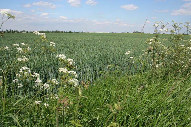
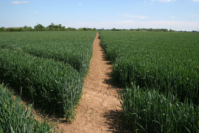
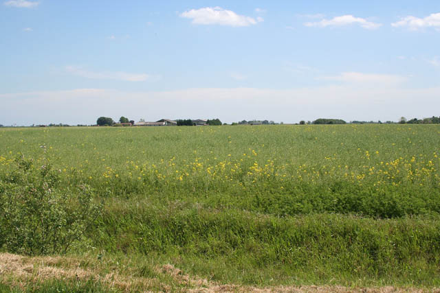
The downs of Deeping Common offer breathtaking views of the surrounding countryside, with undulating hills covered in lush greenery. These downs serve as a popular spot for outdoor activities such as hiking, walking, and birdwatching. The area is home to a diverse range of wildlife, including various species of birds, mammals, and insects.

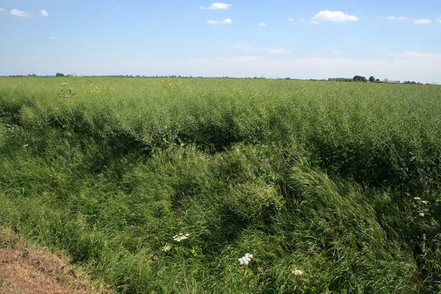
Moorland also features prominently in Deeping Common's landscape. This type of habitat is characterized by open expanses of heather, grasses, and low-growing shrubs. Moorland is an important ecosystem that supports a variety of plant and animal species, including birds of prey, such as the kestrel and merlin, as well as grouse and wild deer.

The village itself is quaint and charming, with traditional stone cottages and a close-knit community. The residents of Deeping Common take pride in their village and its natural surroundings, actively participating in conservation efforts to protect the downs and moorland.

Overall, Deeping Common, Lincolnshire, offers visitors and residents alike a peaceful and serene environment, with its downs and moorland providing a haven for nature enthusiasts and a beautiful backdrop to this rural village.

If you have any feedback on the listing, please let us know in the comments section below.

Deeping Common Images

Images are sourced within 2km of 52.685186/-0.2640603 or Grid Reference TF1711. Thanks to Geograph Open Source API. All images are credited.

Prior's Meadow, Deeping St James Off Stowgate Road, this large field must have originally attached to the Benedictine Priory. The Priory was founded at Deeping St James in 1139 by Baldwin Fitzgilbert, a junior member of the Clare family, much favoured by King Henry I.
See <span class="nowrap"><a title="http://www.users.zetnet.co.uk/mwarrick/history/index.htm" rel="nofollow ugc noopener" href="http://www.users.zetnet.co.uk/mwarrick/history/index.htm">Link</a><img style="margin-left:2px;" alt="External link" title="External link - shift click to open in new window" src="https://s1.geograph.org.uk/img/external.png" width="10" height="10"/></span> for information about the Priory and church.
Prior's Meadow, Deeping St James
Off Stowgate Road, this large field must have originally attached to the Benedictine Priory. The Priory was founded at Deeping St James in 1139 by Baldwin Fitzgilbert, a junior member of the Clare family, much favoured by King Henry I. See LinkExternal link for information about the Priory and church.
Public footpath off Stowgate Road Well maintained footpaths on this farmland next to Priors Meadow Riding School.
Public footpath off Stowgate Road
Well maintained footpaths on this farmland next to Priors Meadow Riding School.
Farmland off Cranmore Drove The crop is oilseed rape: this field was a sea of yellow two weeks ago but now the all important seedpods are forming. The buildings in the distance are in <a href="https://www.geograph.org.uk/gridref/TF1809">TF1809</a>.
Farmland off Cranmore Drove
The crop is oilseed rape: this field was a sea of yellow two weeks ago but now the all important seedpods are forming. The buildings in the distance are in TF1809.
Cranmore Looking diagonally across the square.
Typical Fens landscape near Market Deeping: flat farmland with dykes and drains instead of hedges giving the impression of an endless field. The Peterborough to Spalding railway crosses the picture on the horizon, the track being on an embankment above the surrounding land which is about 3 metres above sea level.
Cranmore
Looking diagonally across the square. Typical Fens landscape near Market Deeping: flat farmland with dykes and drains instead of hedges giving the impression of an endless field. The Peterborough to Spalding railway crosses the picture on the horizon, the track being on an embankment above the surrounding land which is about 3 metres above sea level.
Farm Buildings on Station Road Three farm buildings along Station Road, Deeping St. James.
Farm Buildings on Station Road
Three farm buildings along Station Road, Deeping St. James.
Farmland east of Deeping St James
Farmland near Stowgate
Stowgate Level Crossing The Spalding to Peterborough railway crossing Cranmore Drove
Stowgate Level Crossing
The Spalding to Peterborough railway crossing Cranmore Drove
Level crossing at Stowgate Cranmore Drove crossing over the Spalding to Peterborough railway. This is a dead end drove leading to isolated farms on Deeping and Crowland Common
Level crossing at Stowgate
Cranmore Drove crossing over the Spalding to Peterborough railway. This is a dead end drove leading to isolated farms on Deeping and Crowland Common
East Midlands railcar near Stowgate On route from Spalding to Peterborough
East Midlands railcar near Stowgate
On route from Spalding to Peterborough
Farmland near Stowgate Farm Remote fenland fields off Cranmore Drove near Deeping St James
Farmland near Stowgate Farm
Remote fenland fields off Cranmore Drove near Deeping St James
Ploughed field near Barron's Farm Fenland to the north east of Deeping St James
Ploughed field near Barron's Farm
Fenland to the north east of Deeping St James
Dry dike and unnamed lane On Deeping Common heading towards Toll Bar Farm
Dry dike and unnamed lane
On Deeping Common heading towards Toll Bar Farm
Fenland dike crossing Hall Meadow Farmland on Deeping Common
Fenland dike crossing Hall Meadow
Farmland on Deeping Common
Gravel Road on Deeping Common
Poles in the fenland of Lincolnshire Power lines to the east of Frognal not eastern European workers who make up much of the agricultural workforce in this area
Poles in the fenland of Lincolnshire
Power lines to the east of Frognal not eastern European workers who make up much of the agricultural workforce in this area
Wheel tracks through a field of rape, Frognall
Cross Drain going under The Deeping Bypass
Show me another place!

Deeping Common is located at Grid Ref: TF1711 (Lat: 52.685186, Lng: -0.2640603)

Administrative County: Lincolnshire

District: South Kesteven

Police Authority: Lincolnshire

What 3 Words

///peach.downward.scorching. Near Market Deeping, Lincolnshire

Nearby Locations

Deeping Common

Related Wikis

Frognall

Frognall is a small village in the South Kesteven district of Lincolnshire, England. It is situated just north-east of Deeping St James , to which it is...

Stowgate

Stowgate is a small settlement in the South Kesteven district of Lincolnshire, England. It is situated approximately 2 miles (3 km) north-east from Deeping...

A1175 road

The A1175 road is a road in south-west Lincolnshire, England. It runs between Stamford and Spalding, along the old A16 route. == History == It was previously...

Deeping St James Priory

Deeping St James Priory was a priory in Deeping St James, Lincolnshire, England. It was a dependency of Thorney Abbey. == History == In 1139 Baldwin Fitz...

Nearby Amenities

Located within 500m of 52.685186,-0.2640603
Greenfields
Place: isolated_dwelling
Source: Bing
Lat/Long: 52.6824042/-0.2610361
Power: pole
Lat/Long: 52.6860444/-0.2687297
Power: pole
Lat/Long: 52.6865093/-0.2706761
Power: pole
Lat/Long: 52.6853863/-0.2660295
Power: pole
Lat/Long: 52.6847584/-0.263448
Power: pole
Lat/Long: 52.684228/-0.2611358
Power: pole
Lat/Long: 52.6836628/-0.2587951
The data included in this document is from www.openstreetmap.org. The data is made available under ODbL.

Have you been to Deeping Common?

Leave your review of Deeping Common below (or comments, questions and feedback).