Pinchbeck Fen
Downs, Moorland in Lincolnshire South Holland
England
Pinchbeck Fen

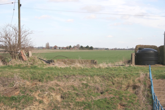
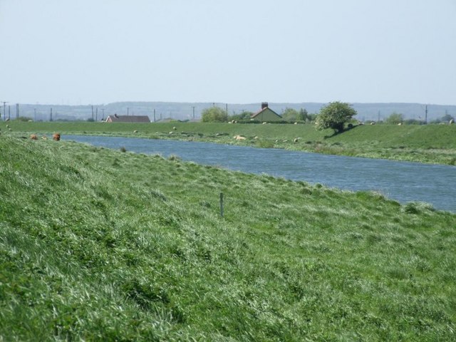
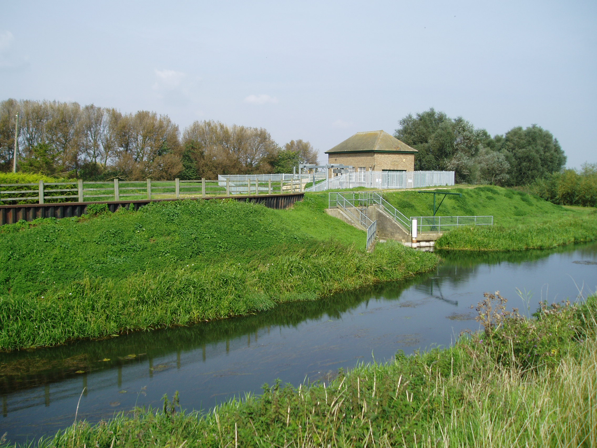
Pinchbeck Fen is a nature reserve located in Lincolnshire, England. It is a designated Site of Special Scientific Interest (SSSI) due to its rich biodiversity and unique ecosystem. The fen is characterized by its flat and marshy terrain, with low-lying wetlands and reed beds dominating the landscape.
The reserve is home to a variety of plant and animal species, including rare orchids, waterfowl, and insects. The wetlands provide important habitat for breeding birds, such as bitterns and marsh harriers, as well as a variety of other wildlife.
Visitors to Pinchbeck Fen can explore the area on foot via a network of walking trails, which offer opportunities for birdwatching and wildlife spotting. The reserve also features a visitor center with information about the flora and fauna of the fen, as well as guided walks and educational programs.
Overall, Pinchbeck Fen is a valuable natural resource in Lincolnshire, providing a haven for wildlife and a peaceful retreat for visitors seeking to connect with nature in a tranquil and picturesque setting.
If you have any feedback on the listing, please let us know in the comments section below.
Pinchbeck Fen Images
Images are sourced within 2km of 52.806702/-0.2615234 or Grid Reference TF1724. Thanks to Geograph Open Source API. All images are credited.


Pinchbeck Fen is located at Grid Ref: TF1724 (Lat: 52.806702, Lng: -0.2615234)
Administrative County: Lincolnshire
District: South Holland
Police Authority: Lincolnshire
What 3 Words
///bonus.brightens.intent. Near Pinchbeck, Lincolnshire
Nearby Locations
Related Wikis
Guthram Gowt
Guthram Gowt is a small settlement in the South Holland district of Lincolnshire, England. It is situated 5 miles (8 km) both east from Bourne and west...
River Glen, Lincolnshire
The River Glen is a river in Lincolnshire, England with a short stretch passing through Rutland near Essendine. The river's name appears to derive from...

Willow Tree Fen
Willow Tree Fen is a local nature reserve with an area of over 112.0 ha (277 acres) located near Bourne and Spalding, south of the River Glen, England...

Counter Drain railway station
Counter Drain railway station was a remote station in Lincolnshire serving the village of Tongue End. It was on the route of the Spalding and Bourne Railway...
Nearby Amenities
Located within 500m of 52.806702,-0.2615234Have you been to Pinchbeck Fen?
Leave your review of Pinchbeck Fen below (or comments, questions and feedback).