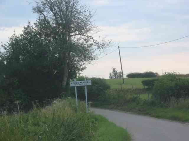
Sootfield Green
Downs, Moorland in Hertfordshire North Hertfordshire
England
Sootfield Green
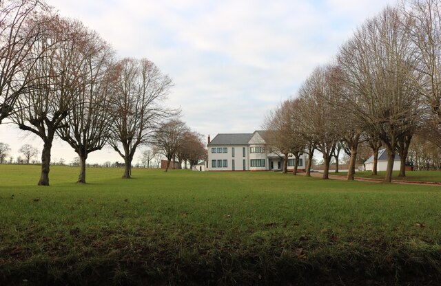
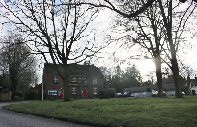
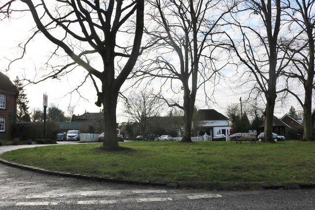
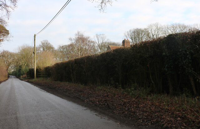
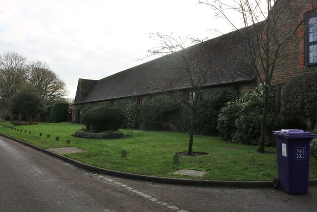
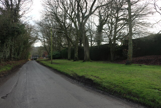
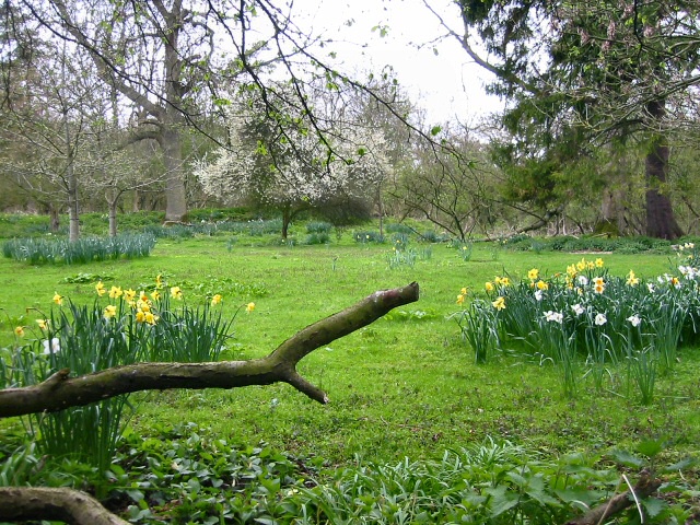
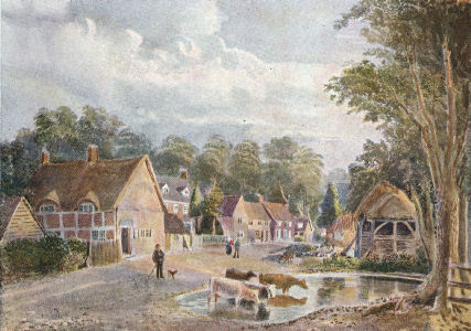
Sootfield Green is a charming village located in Hertfordshire, England. It is situated in the beautiful countryside surrounded by downs and moorland, offering residents and visitors a picturesque and tranquil environment. The village is known for its idyllic landscapes, which attract nature enthusiasts and those seeking a peaceful retreat.
The downs of Sootfield Green provide stunning panoramic views of the surrounding area. These rolling hills are covered in lush green grass and dotted with wildflowers, creating a vibrant and dynamic natural setting. The downs also offer opportunities for outdoor activities such as hiking, cycling, and horseback riding, making it a popular destination for active individuals.
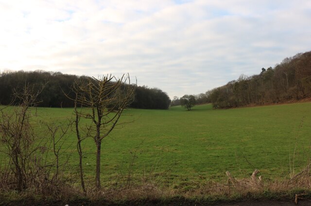
In contrast, the moorland of Sootfield Green adds a touch of ruggedness to the scenery. Characterized by its heather-covered hills and vast open spaces, the moorland is home to an array of wildlife, including birds, rabbits, and deer. The moorland provides an excellent setting for nature walks and birdwatching, allowing visitors to immerse themselves in the beauty of the local flora and fauna.
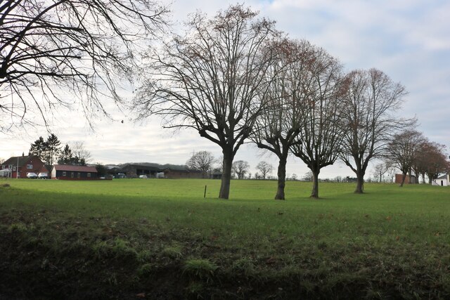
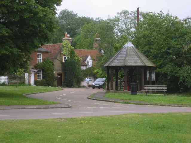
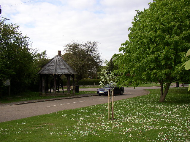
Sootfield Green itself is a small, close-knit community, with a population of around 500 residents. The village has a strong sense of community spirit and offers various amenities, including a village hall, a local pub, and a primary school. The village is well-connected to nearby towns, with good transportation links and access to essential services.
Overall, Sootfield Green, Hertfordshire, with its downs and moorland, offers a charming and serene environment for those seeking a peaceful countryside getaway.
If you have any feedback on the listing, please let us know in the comments section below.
Sootfield Green Images
Images are sourced within 2km of 51.916317/-0.29682389 or Grid Reference TL1725. Thanks to Geograph Open Source API. All images are credited.


Sootfield Green is located at Grid Ref: TL1725 (Lat: 51.916317, Lng: -0.29682389)
Administrative County: Hertfordshire
District: North Hertfordshire
Police Authority: Hertfordshire
What 3 Words
///saddens.cafe.milk. Near Hitchin, Hertfordshire
Nearby Locations
Related Wikis

Wain Wood
Wain Wood is an ancient woodland extending to 19.2 hectares (47 acres) near Preston in North Hertfordshire. The site is a Site of Special Scientific Interest...

Preston, Hertfordshire
Preston is a village and civil parish about 3 miles (4.8 km) south of Hitchin in Hertfordshire, England. At the 2011 Census the population was 420.The...

Princess Helena College
PHC was a co-educational independent day and boarding school for students aged 11 to 18 in Preston near Hitchin in Hertfordshire, England. The school was...
Charlton, Hertfordshire
Charlton is a hamlet in the county of Hertfordshire, in the East of England. It is a component hamlet of the market town of Hitchin, forming a part of...

Minsden Chapel
Minsden Chapel is an isolated ruined chapel in the fields above the hamlet of Chapelfoot, near Preston, Hertfordshire. Today it is a roofless shell, partly...
Gosmore
Gosmore is a hamlet in the parish of St Ippolyts (where the population at the 2011 Census was included) near Hitchin in Hertfordshire, England. One interesting...

Offley
Offley is a civil parish in the English county of Hertfordshire, between Hitchin and Luton. The main village is Great Offley, and the parish also contains...
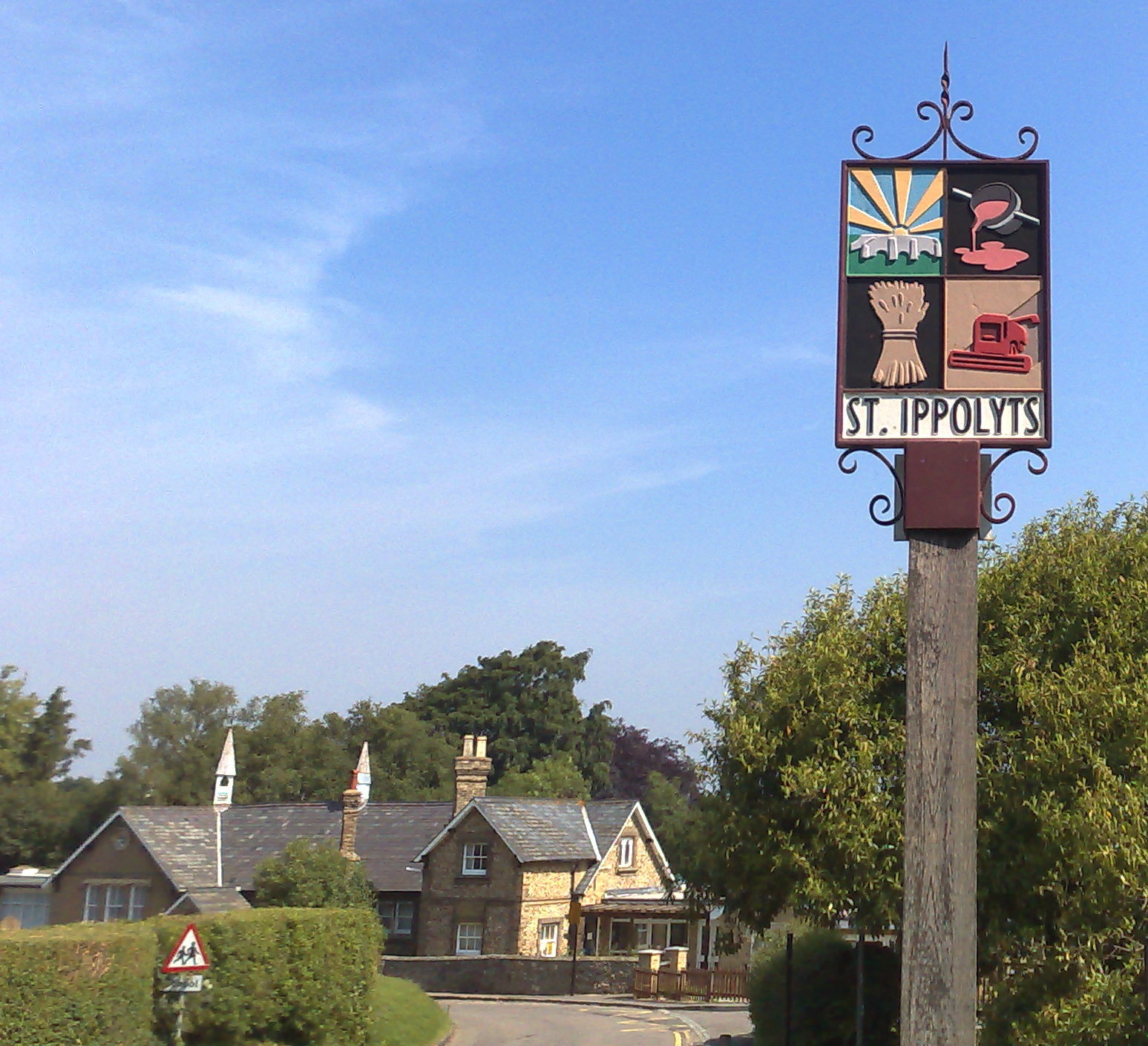
St Ippolyts
St Ippolyts (or St Ippollitts) is a village and civil parish on the southern edge of Hitchin in Hertfordshire, England. It has a population of approximately...
Nearby Amenities
Located within 500m of 51.916317,-0.29682389Have you been to Sootfield Green?
Leave your review of Sootfield Green below (or comments, questions and feedback).