Steep Down

Downs, Moorland in Sussex Adur

England

Steep Down

Titch Hill (road) A route over the downs from Sompting to Steyning.
Titch Hill (road) Credit: Robin Webster

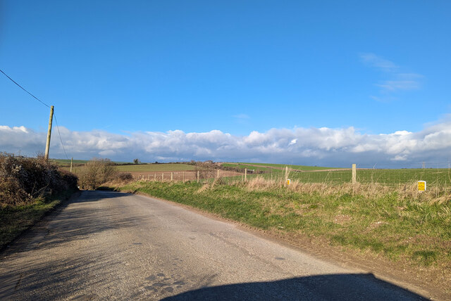
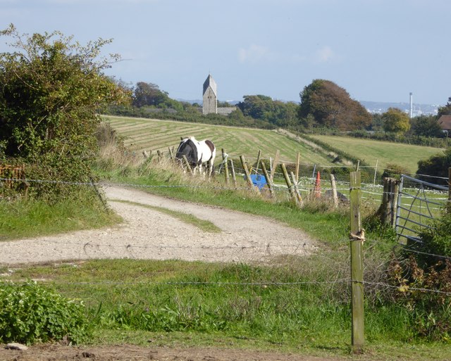
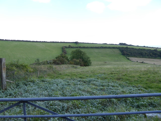
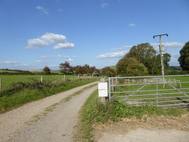
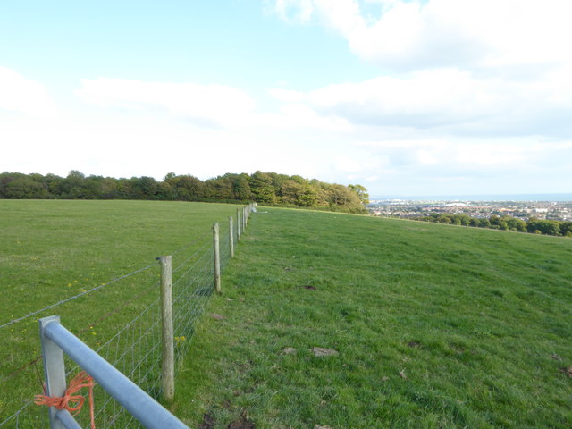
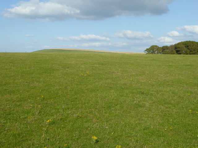
Steep Down is a picturesque area located in Sussex, England. Situated amidst the mesmerizing South Downs, this region is renowned for its captivating landscapes, diverse flora, and unique moorland ecosystem. The area encompasses a vast expanse of rolling hills, steep slopes, and verdant meadows, making it an ideal destination for nature enthusiasts and hikers.

The South Downs, a range of chalk hills stretching across the southern counties of England, offers breathtaking panoramic views of the surrounding countryside. Steep Down is characterized by its undulating terrain, with several peaks and valleys that provide visitors with stunning vistas at every turn. The area's chalky soil and mild climate make it a haven for a wide range of plant species, including rare orchids and wildflowers, adding to its charm and biodiversity.

The moorland of Steep Down is another notable feature, presenting a distinct landscape within the region. Moorlands are characterized by open expanses of heather, gorse, and grasses, forming a unique ecosystem that supports a variety of wildlife. Visitors to Steep Down may be lucky enough to spot rare bird species such as the stonechat or the Dartford warbler, which thrive in this habitat.

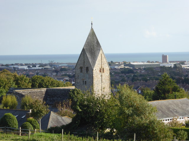
In addition to its natural beauty, Steep Down boasts a rich historical heritage. The area is dotted with ancient burial mounds, Iron Age hill forts, and remnants of Roman settlements, providing fascinating insights into the region's past.

Overall, Steep Down, Sussex offers a captivating blend of natural beauty, diverse ecosystems, and historical significance, making it a must-visit destination for those seeking a glimpse into the enchanting countryside of southern England.

If you have any feedback on the listing, please let us know in the comments section below.

Steep Down Images

Images are sourced within 2km of 50.852988/-0.33799294 or Grid Reference TQ1707. Thanks to Geograph Open Source API. All images are credited.

Titch Hill (road) A route over the downs from Sompting to Steyning.
Titch Hill (road)
A route over the downs from Sompting to Steyning.
Sompting church St. Mary's is a grade I listed building, 11th and 12th centuries. The 'Rhenish helm' style of the 11th century tower is unique in England.
Sompting church
St. Mary's is a grade I listed building, 11th and 12th centuries. The 'Rhenish helm' style of the 11th century tower is unique in England.
Graveyard, Sompting One of several extensions to the original churchyard.
Graveyard, Sompting
One of several extensions to the original churchyard.
Mechanical digger - north of Lychpole Farm
Sompting - Church of St Mary It is quite difficult to find a spot to take a photograph of the whole church without it being blocked by trees or gravestones. This photo from a corner of the churchyard afforded about the best overall view I could manage.
The highly unusual Saxon tower which features a Rhenish helm is apparently unique in Britain - see <a href="https://www.geograph.org.uk/photo/4674458">TQ1605 : Sompting - St Mary's - Rhenish Helm</a> for a closer view of this.
See also the shared description below:
Sompting - Church of St Mary
It is quite difficult to find a spot to take a photograph of the whole church without it being blocked by trees or gravestones. This photo from a corner of the churchyard afforded about the best overall view I could manage. The highly unusual Saxon tower which features a Rhenish helm is apparently unique in Britain - see TQ1605 : Sompting - St Mary's - Rhenish Helm for a closer view of this. See also the shared description below:
Sompting - St Mary's - Rhenish Helm A close view of the Rhenish Helm atop the C11th Saxon tower of St Mary's in Sompting. This unusual shingled cap is a unique feature for an English church.
See shared description below.
Sompting - St Mary's - Rhenish Helm
A close view of the Rhenish Helm atop the C11th Saxon tower of St Mary's in Sompting. This unusual shingled cap is a unique feature for an English church. See shared description below.
Exit through lychgate at Sompting church
Below the tower at Sompting church
Southern elevation of Sompting church This is a Grade 1 listed building.
Southern elevation of Sompting church
This is a Grade 1 listed building.
View east from Charmandean Lane to Sompting church The other landmark, which is on the right of the picture, is the chimney at disused Shoreham cement works.
View east from Charmandean Lane to Sompting church
The other landmark, which is on the right of the picture, is the chimney at disused Shoreham cement works.
Looking east across downland valley
Bridleway going northwards from Lambleys Barn
Looking east along field boundary to woodland The woodland is mapped as "The Mountain".
Looking east along field boundary to woodland
The woodland is mapped as "The Mountain".
Looking from field corner at The Nore to edge of woodland The woodland is known as "The Mountain".
Looking from field corner at The Nore to edge of woodland
The woodland is known as "The Mountain".
Sompting's church tower seen from footpath to the north west The tower block by the coast is in South Lancing.
Sompting's church tower seen from footpath to the north west
The tower block by the coast is in South Lancing.
Sompting - St Mary's - Tower and west end A view of the west end of St Mary, Sompting showing its unusual and remarkable Saxon tower. The humped masonry to the left of the tower is all that remains of the former West Chapel built originally by the Knights Templar. See shared description below for more information:
Sompting - St Mary's - Tower and west end
A view of the west end of St Mary, Sompting showing its unusual and remarkable Saxon tower. The humped masonry to the left of the tower is all that remains of the former West Chapel built originally by the Knights Templar. See shared description below for more information:
Sompting - St Mary's - Nave A view along the C12th nave of St Mary's church in Sompting. This part of the church is Norman, while the tower is about a hundred years older and is Saxon.
The east window - seen here at the far end, is considerably younger being of the Perpendicular style of the C15th.
Sompting - St Mary's - Nave
A view along the C12th nave of St Mary's church in Sompting. This part of the church is Norman, while the tower is about a hundred years older and is Saxon. The east window - seen here at the far end, is considerably younger being of the Perpendicular style of the C15th.
Sompting - St Mary's - interior base of tower Looking through from the western end of the nave into the interior ground floor level of its Saxon tower. Note the carvings on the capitals of the arch - these are probably themselves Saxon, as they bear no similarity to the geometrical patterns favoured by the Normans.
Sompting - St Mary's - interior base of tower
Looking through from the western end of the nave into the interior ground floor level of its Saxon tower. Note the carvings on the capitals of the arch - these are probably themselves Saxon, as they bear no similarity to the geometrical patterns favoured by the Normans.
Show me another place!

Steep Down is located at Grid Ref: TQ1707 (Lat: 50.852988, Lng: -0.33799294)

Administrative County: West Sussex

District: Adur

Police Authority: Sussex

What 3 Words

///rise.trick.bounty. Near Lancing, West Sussex

Nearby Locations

Steep Down

Related Wikis

Sompting & North Lancing (electoral division)

Sompting & North Lancing is an electoral division of West Sussex in the United Kingdom, and returns one member to sit on the West Sussex County Council...

Lancing Ring

Lancing Ring is a 29.4-hectare (73-acre) Local Nature Reserve in Lancing in West Sussex. It is owned and managed by Adur District Council.This chalk grassland...

Sompting Abbotts Preparatory School

Sompting Abbotts Preparatory School is a historic West Sussex independent school in Sompting, near Worthing and Steyning. It educates children of both...

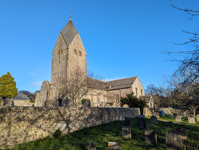
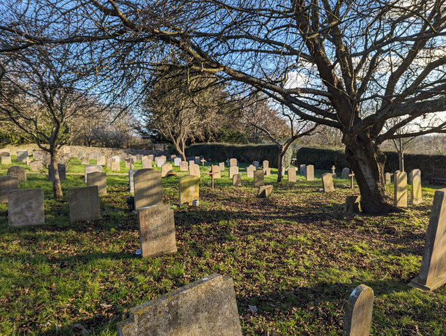
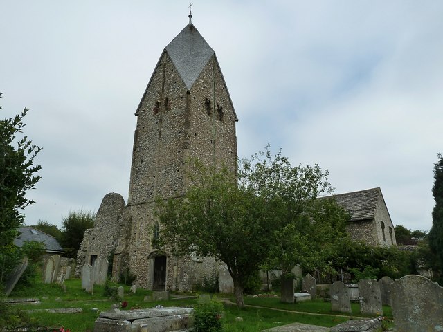
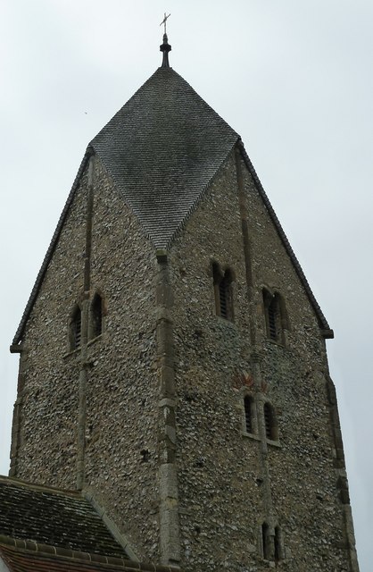
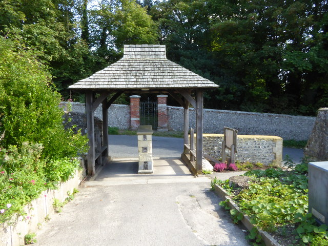
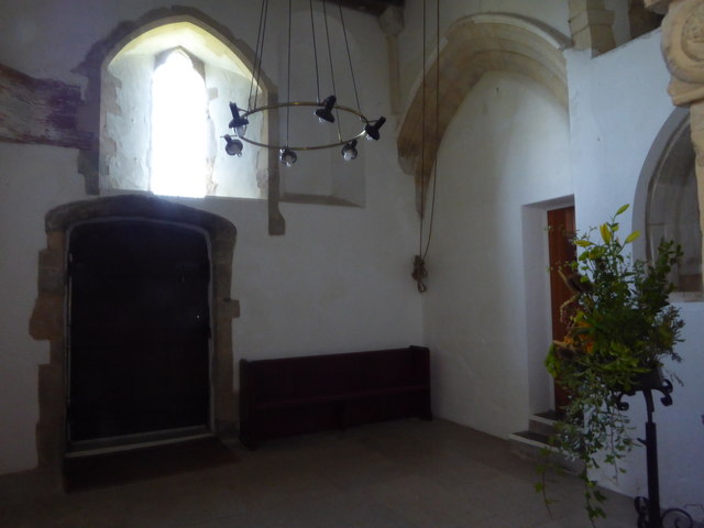
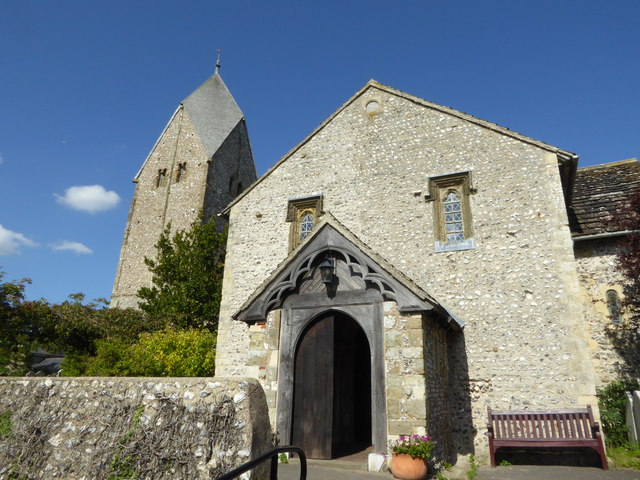
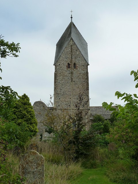
Church of St Mary the Blessed Virgin, Sompting

The Church of St Mary the Blessed Virgin, also known as St Mary the Virgin Church and St Mary's Church, is the Church of England parish church of Sompting...

Nearby Amenities

Located within 500m of 50.852988,-0.33799294
Steep Down
Created By: Potlatch 0.10f
Natural: peak
Source: NPE
Wikidata: Q24662525
Lat/Long: 50.8558974/-0.3415713
Ele: 156
Man Made: survey_point
Source: gps
Lat/Long: 50.8557181/-0.341263
The data included in this document is from www.openstreetmap.org. The data is made available under ODbL.

Have you been to Steep Down?

Leave your review of Steep Down below (or comments, questions and feedback).