Swaton Fen
Downs, Moorland in Lincolnshire North Kesteven
England
Swaton Fen
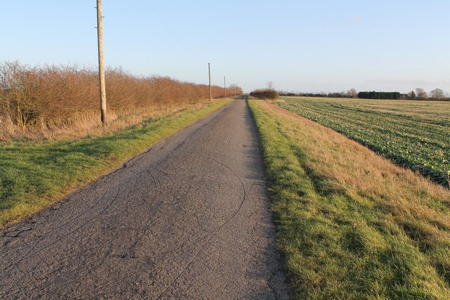
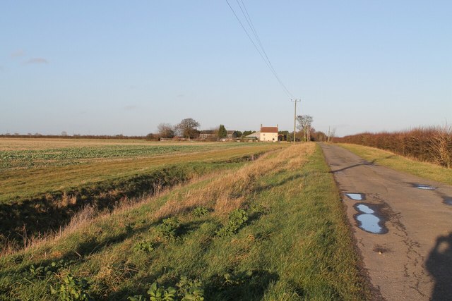
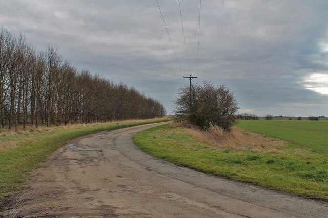
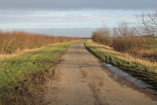
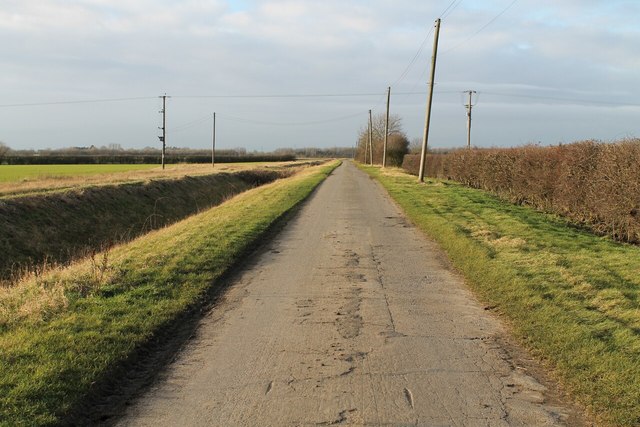
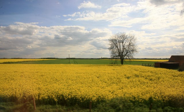
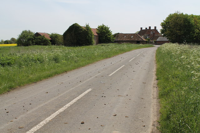
Swaton Fen is a vast area of wetland located in Lincolnshire, England. It is a unique landscape comprised of downs and moorland, providing a diverse habitat for a variety of plant and animal species. The fen covers an extensive area of approximately 1,500 hectares, making it one of the largest wetlands in the county.
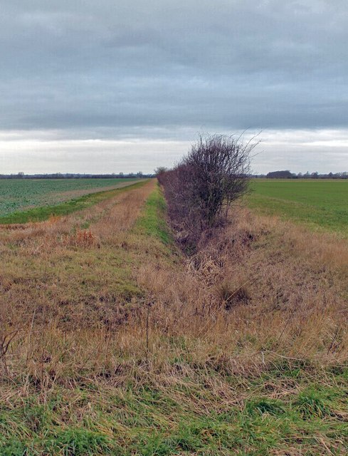
The fen is characterized by its rich peat soil, which is formed by the accumulation of decaying plant material over centuries. This fertile soil supports a wide range of plant species, including a variety of sedges, rushes, and reeds. The area is also home to several rare and protected plant species, such as the fen violet and marsh helleborine.
Swaton Fen is an important site for birdwatching enthusiasts, as it attracts a plethora of bird species throughout the year. The wetland provides an ideal breeding ground and feeding area for numerous waterfowl, including mallards, wigeons, and teals. Additionally, it serves as a key stopover point for migrating birds, making it a popular destination for birdwatchers.
The fenland is also home to a diverse range of animal species. It supports a population of water voles, which are considered a protected species in the UK. Other notable inhabitants include otters, common frogs, and various species of dragonflies.
Swaton Fen is a designated nature reserve, managed by the Lincolnshire Wildlife Trust. It offers visitors the opportunity to explore its unique landscape through a network of footpaths and trails. The fen provides an immersive experience in nature, allowing visitors to observe its remarkable biodiversity up close.
If you have any feedback on the listing, please let us know in the comments section below.
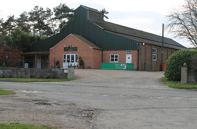
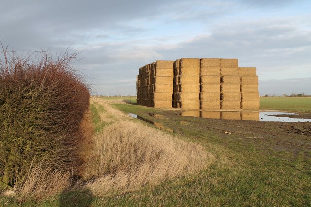
Swaton Fen Images
Images are sourced within 2km of 52.920652/-0.29035662 or Grid Reference TF1537. Thanks to Geograph Open Source API. All images are credited.

Swaton Fen is located at Grid Ref: TF1537 (Lat: 52.920652, Lng: -0.29035662)
Administrative County: Lincolnshire
District: North Kesteven
Police Authority: Lincolnshire
What 3 Words
///estimates.thrillers.gymnasium. Near Billingborough, Lincolnshire
Nearby Locations
Related Wikis

Bridgend Priory
Bridgend Priory was a monastic house in Horbling, Lincolnshire, England. The priory was founded around 1199 by Godwin the Rich of Lincoln, a benefactor...

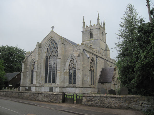
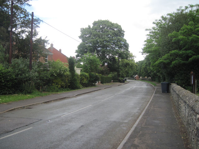
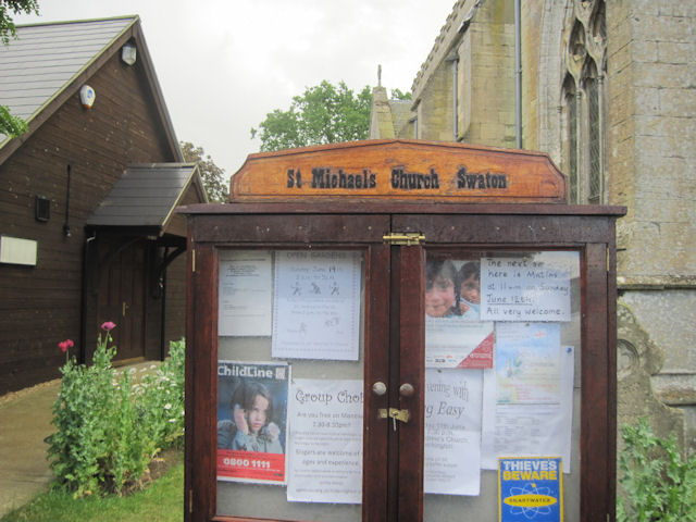
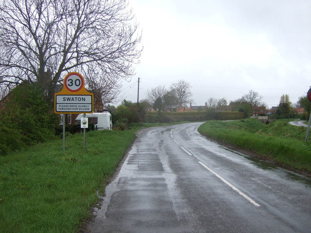
Swaton
Swaton is a village and civil parish in the North Kesteven district of Lincolnshire, England. It is situated on the B1394 road, less than 0.5 miles (0...

Horbling
Horbling is a village and civil parish in the South Kesteven district of Lincolnshire, England. It lies on the B1177, 7 miles (11 km) south-east of Sleaford...

Helpringham
Helpringham is a village and civil parish in the North Kesteven district of Lincolnshire, England. It lies on the edge of the Fens, and 5 miles (8 km)...
Helpringham railway station
Helpringham railway station was a station in Helpringham, Lincolnshire. The station was opened by the Great Northern and Great Eastern Joint Railway on...

St Andrew's Church, Billingborough
St Andrew's Church is a Grade I listed Anglican parish church dedicated to Andrew the Apostle, in Billingborough, Lincolnshire, England. The church is...
Billingborough
Billingborough is a village and civil parish in the South Kesteven district of Lincolnshire, England. It is situated approximately 10 miles (16 km) north...

Little Hale
Little Hale is a hamlet and civil parish in the North Kesteven district of Lincolnshire, England. It is situated 5 miles (8 km) south-east from the town...
Nearby Amenities
Located within 500m of 52.920652,-0.29035662Have you been to Swaton Fen?
Leave your review of Swaton Fen below (or comments, questions and feedback).