Walcott Fen

Downs, Moorland in Lincolnshire North Kesteven

England

Walcott Fen

Hurn Drove, Walcott: aerial 2022
Hurn Drove, Walcott: aerial 2022 Credit: Chris

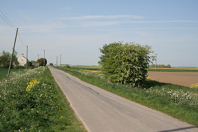
Walcott Fen is a natural reserve located in Lincolnshire, England, known for its diverse landscape that comprises of downs and moorland. It spans an area of approximately 2,000 acres and is managed by the Lincolnshire Wildlife Trust. The reserve is situated near the small village of Walcott and offers a tranquil escape for nature enthusiasts and those seeking outdoor activities.

The downs of Walcott Fen are characterized by gently rolling hills covered in lush grasses and wildflowers. Walking trails meander through these areas, allowing visitors to explore the landscape and take in the stunning panoramic views. The downs are also home to various bird species, including skylarks and meadow pipits, which can be observed soaring above the open fields.

On the other hand, the moorland section of Walcott Fen offers a stark contrast to the downs with its rugged and barren terrain. This area is dominated by heather and gorse, creating a colorful spectacle during the blooming season. Moorland birds, such as curlews and lapwings, can be spotted here, adding to the diversity of wildlife in the reserve.

Walcott Fen provides a haven for numerous plant and animal species, including rare orchids, butterflies, and dragonflies. It is also home to several mammals, such as hares and foxes, which can be glimpsed in their natural habitats.

Overall, Walcott Fen in Lincolnshire offers a unique blend of downs and moorland, providing a range of landscapes for visitors to explore and appreciate the natural beauty of the area.

If you have any feedback on the listing, please let us know in the comments section below.
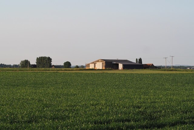
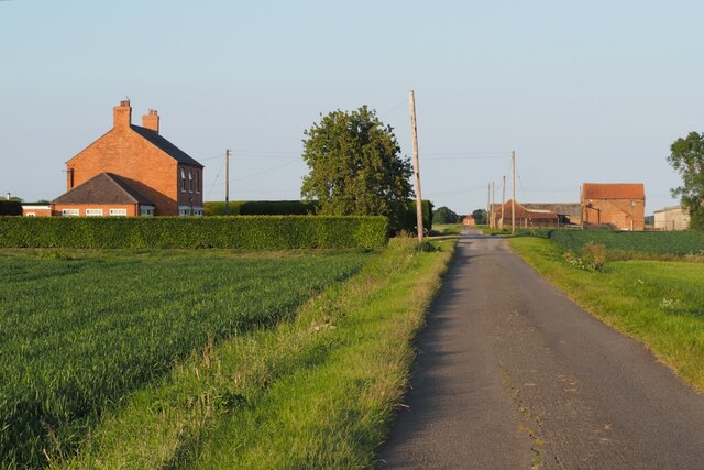
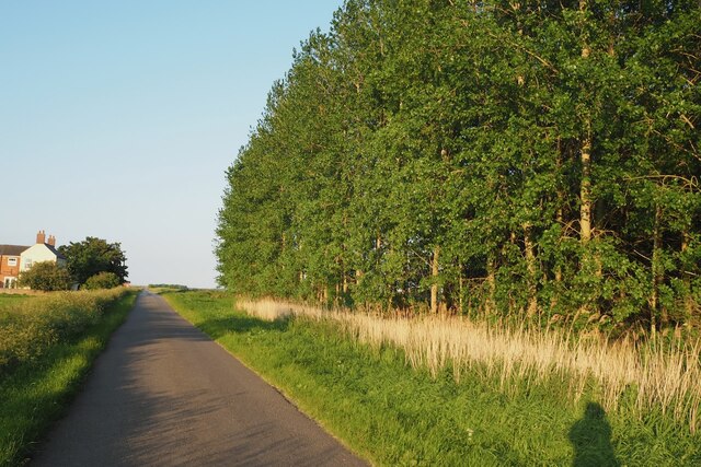
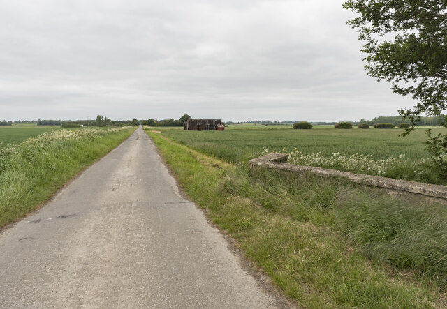
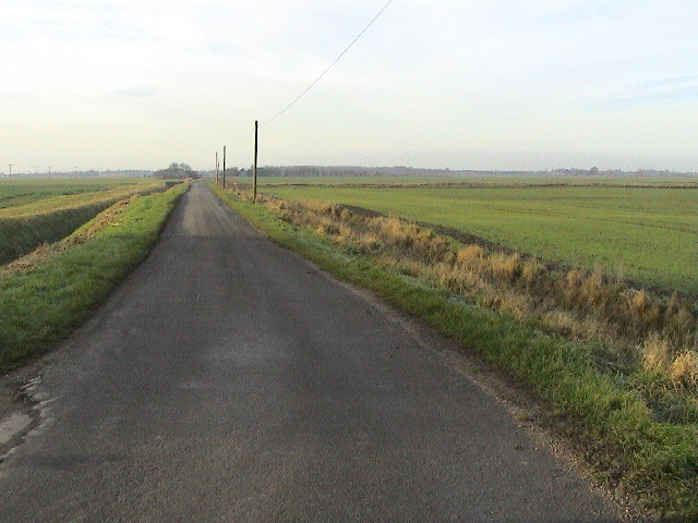
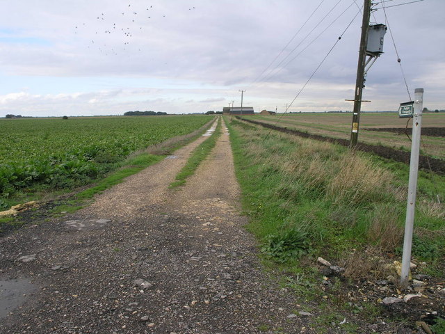
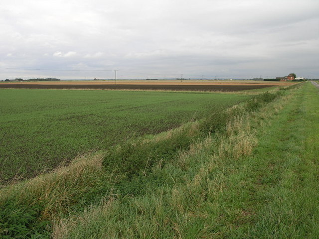
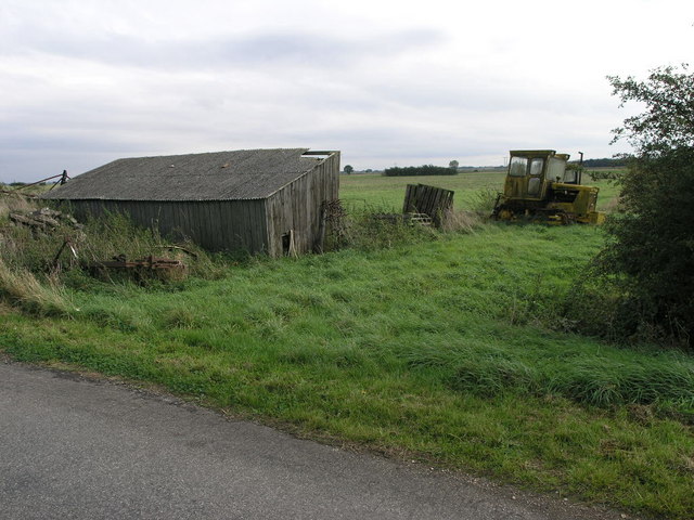
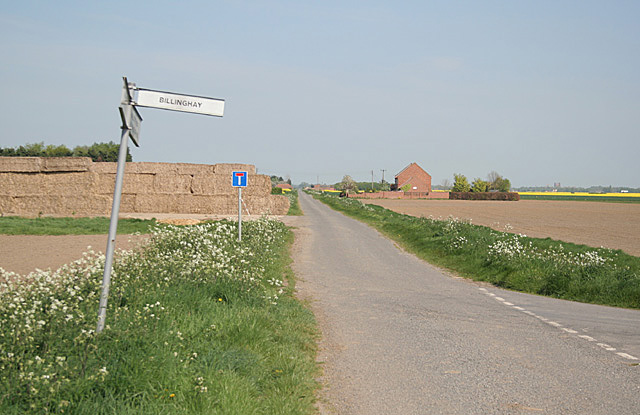
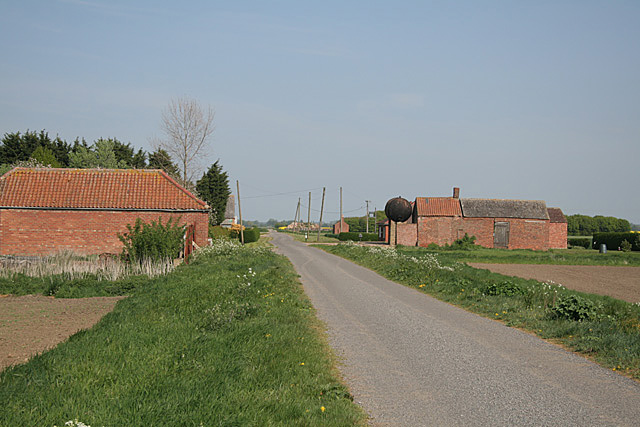
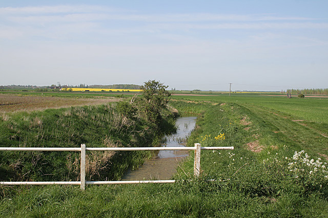
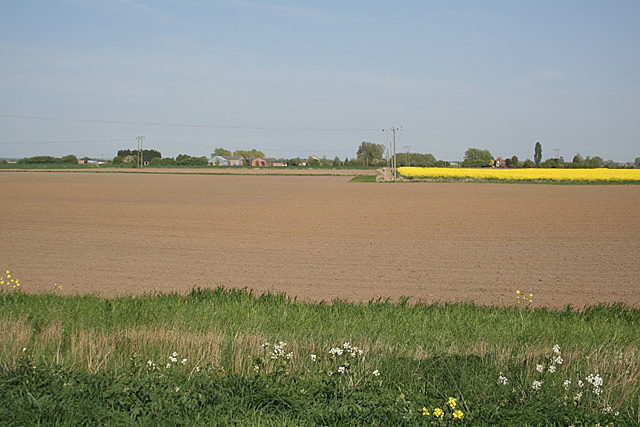
Walcott Fen Images

Images are sourced within 2km of 53.100731/-0.28437484 or Grid Reference TF1457. Thanks to Geograph Open Source API. All images are credited.

Hurn Drove, Walcott: aerial 2022
Modern barn near Willow Farm
Willow Farm Alongside Thorpe Tinley Drove.
Willow Farm
Alongside Thorpe Tinley Drove.
An unmapped plantation Quite mature trees to be as yet unmarked on the OS map!  Beside Thorpe Tinley Drove.
An unmapped plantation
Quite mature trees to be as yet unmarked on the OS map! Beside Thorpe Tinley Drove.
Long Drove towards Walcott The parapet of a bridge is on the right.
Long Drove towards Walcott
The parapet of a bridge is on the right.
Open Road Timberland Drove and Town Dyke.
Open Road
Timberland Drove and Town Dyke.
Harrowing
Harrowing
Fen-path This footpath joins Thorpe Tilney Fen in the foreground with Timberland Fen in the distance.  It is the pylon that is leaning and not the photographer.
Fen-path
This footpath joins Thorpe Tilney Fen in the foreground with Timberland Fen in the distance. It is the pylon that is leaning and not the photographer.
Thorpe Tilney Fen These flat fields form part of Thorpe Tilney Fen.
Thorpe Tilney Fen
These flat fields form part of Thorpe Tilney Fen.
Shed and Tractor The shed is wooden and looking a little worse for wear.  The tractor is a Track Marshall.
Shed and Tractor
The shed is wooden and looking a little worse for wear. The tractor is a Track Marshall.
Cooling's farm, Long Drove, Walcott Fen
Road junction on Walcott Fen The road ahead - Long Drove - continues straight to Walcott Hurn, where it ends in the middle of nowhere <a href="https://www.geograph.org.uk/photo/418292">TF1757 : Walcott Hurn - the end of the road</a>. The house on the right shows on the large scale map as Long Grove House. Has a mistake been made somewhere?
Road junction on Walcott Fen
The road ahead - Long Drove - continues straight to Walcott Hurn, where it ends in the middle of nowhere TF1757 : Walcott Hurn - the end of the road. The house on the right shows on the large scale map as Long Grove House. Has a mistake been made somewhere?
Farm buildings at Walcott Hurn.
Car Dyke at Walcott The Car Dyke originates from a Roman waterway linking Lincoln to The Wash
Car Dyke at Walcott
The Car Dyke originates from a Roman waterway linking Lincoln to The Wash
Two posts on Gravelhill Drove on Walcott Fen
Walcott Fen at Parson Drove
Parson Drove at Walcott Fen
Walcott Fen looking to Williamson's Drove
Show me another place!

Walcott Fen is located at Grid Ref: TF1457 (Lat: 53.100731, Lng: -0.28437484)

Administrative County: Lincolnshire

District: North Kesteven

Police Authority: Lincolnshire

What 3 Words

///tightrope.euphoric.mastering. Near Billinghay, Lincolnshire

Nearby Locations

Walcott Fen

Related Wikis

Walcott, Lincolnshire

Walcott is a small village and civil parish in the North Kesteven district of Lincolnshire, England. The population of the civil parish at the 2011 census...

Billinghay

Billinghay is a village and civil parish in the North Kesteven district of Lincolnshire, England. The village is situated approximately 7 miles (11 km...

Thorpe Tilney

Thorpe Tilney is a hamlet in the civil parish of Timberland, in the North Kesteven district, in the county of Lincolnshire, England. The hamlet is located...

Timberland, Lincolnshire

Timberland is a village in the North Kesteven district of Lincolnshire, England. The population of the civil parish (including Thorpe Tilney) at the 2011...

Nearby Amenities

Located within 500m of 53.100731,-0.28437484
Power: pole
Source: Bing
Lat/Long: 53.0974378/-0.2846897
Power: pole
Source: Bing
Lat/Long: 53.0969007/-0.2819686
Power: pole
Source: Bing
Lat/Long: 53.0984661/-0.2899105
Power: pole
Source: Bing
Lat/Long: 53.0979499/-0.2873035
The data included in this document is from www.openstreetmap.org. The data is made available under ODbL.

Have you been to Walcott Fen?

Leave your review of Walcott Fen below (or comments, questions and feedback).