Billingborough Fen

Downs, Moorland in Lincolnshire South Kesteven

England

Billingborough Fen

South Forty Foot Drain from Neslam Bridge Each of the villages between Bourne and Heckington, a distance of some 15 miles, almost without exception has a road leading out onto the fen named after its village and terminating at the South Forty Foot Drain. The road eastwards from the B1177 between Billingborough and Pointon is an exception as it crosses the South Forty Foot Drain at Neslam Bridge. This is the view from Neslam Bridge looking north along the South Forty Foot Drain, which is the main drainage channel for the whole area.
South Forty Foot Drain from Neslam Bridge Credit: Marathon

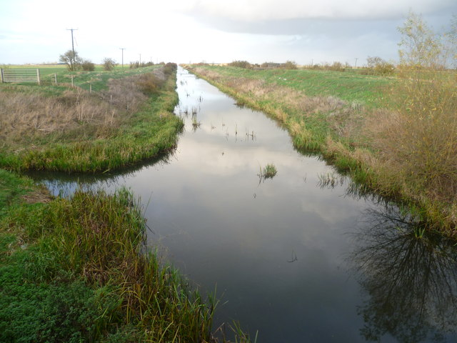
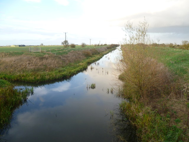
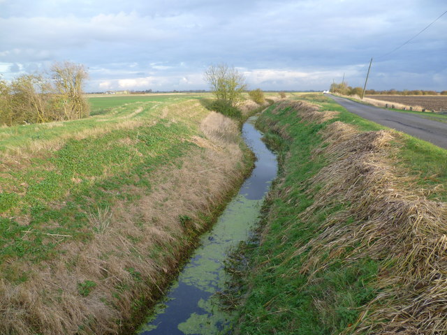
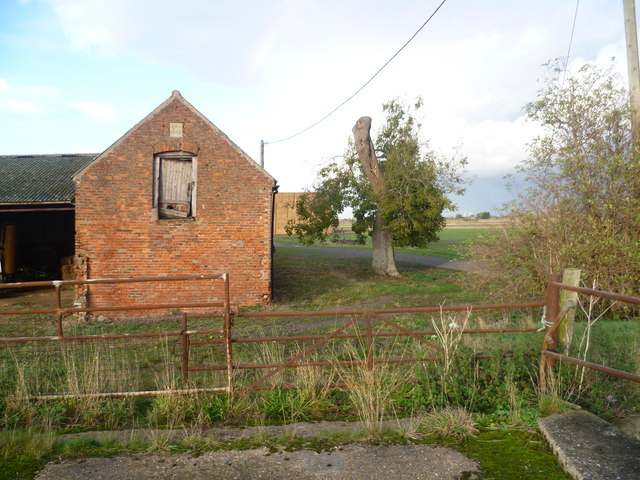
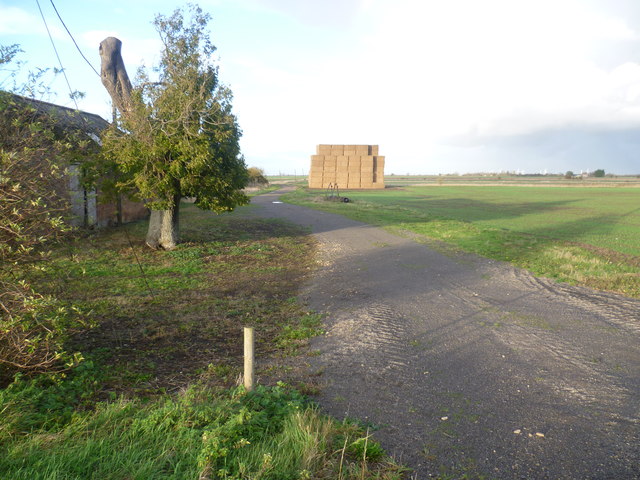
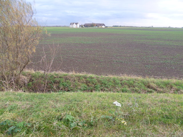
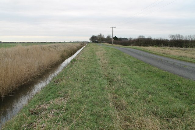
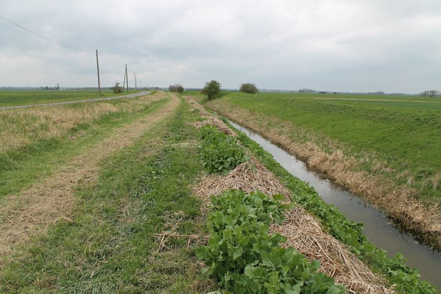
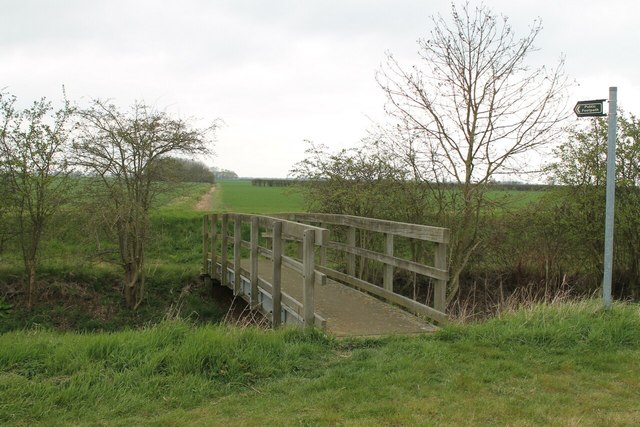
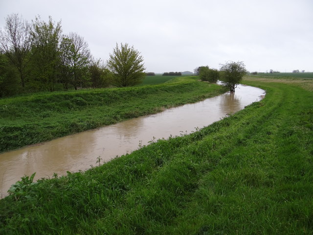
Billingborough Fen is a picturesque nature reserve located in Lincolnshire, England. Spanning over 100 hectares, this unique wetland habitat is a haven for a diverse range of plant and animal species. The fen is characterized by its rich biodiversity, with a mix of downs, moorland, and marshland.

The fen is home to a wide variety of bird species, making it a popular destination for birdwatchers. Visitors can spot rare and elusive birds such as the bittern, marsh harrier, and reed warbler, among others. The reserve also provides nesting sites for waterfowl like mallards, teal, and tufted ducks.

The vegetation in Billingborough Fen is equally impressive, with an abundance of reeds, sedges, and grasses that thrive in the wetland environment. These plants provide shelter and food for many insects, amphibians, and small mammals that inhabit the fen.

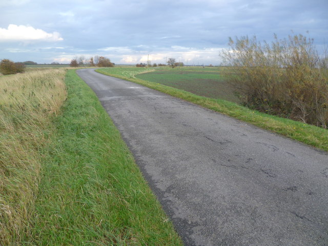
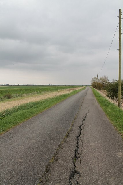
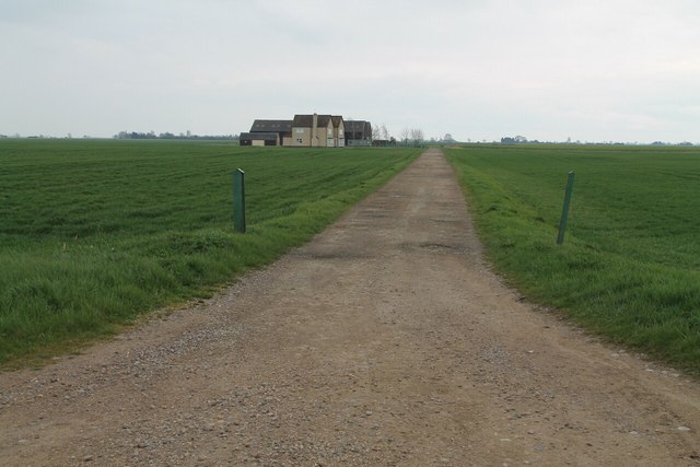
Visitors to this tranquil reserve can explore the area by following the well-maintained paths and boardwalks. These paths offer stunning views of the fen, allowing visitors to immerse themselves in the natural beauty of the surroundings.

Billingborough Fen is managed by a dedicated team of conservationists who work tirelessly to preserve and enhance the habitat. Their efforts include regular maintenance of the paths, controlling invasive species, and monitoring the health of the fen.

Overall, Billingborough Fen is a remarkable nature reserve that offers visitors an opportunity to experience the beauty and tranquility of a wetland habitat. Whether you are a bird enthusiast, nature lover, or simply seeking a peaceful escape, Billingborough Fen is a must-visit destination in Lincolnshire.

If you have any feedback on the listing, please let us know in the comments section below.

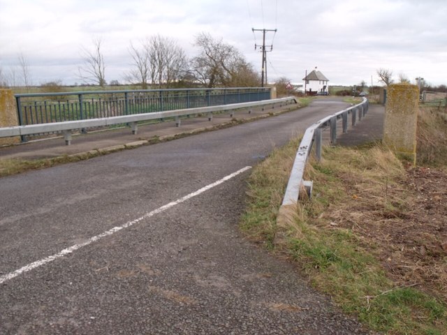
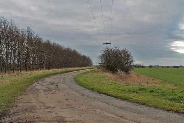
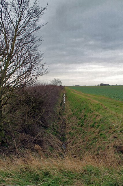
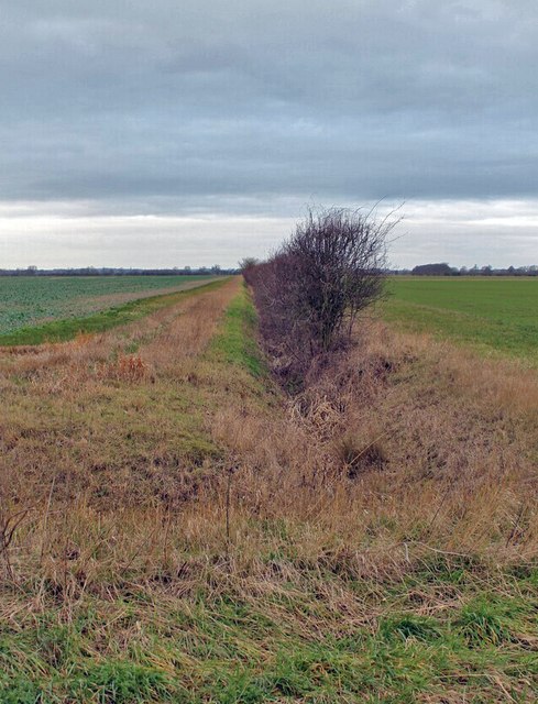
Billingborough Fen Images

Images are sourced within 2km of 52.888107/-0.29284139 or Grid Reference TF1433. Thanks to Geograph Open Source API. All images are credited.

South Forty Foot Drain from Neslam Bridge Each of the villages between Bourne and Heckington, a distance of some 15 miles, almost without exception has a road leading out onto the fen named after its village and terminating at the South Forty Foot Drain. The road eastwards from the B1177 between Billingborough and Pointon is an exception as it crosses the South Forty Foot Drain at Neslam Bridge. This is the view from Neslam Bridge looking north along the South Forty Foot Drain, which is the main drainage channel for the whole area.
South Forty Foot Drain from Neslam Bridge
Each of the villages between Bourne and Heckington, a distance of some 15 miles, almost without exception has a road leading out onto the fen named after its village and terminating at the South Forty Foot Drain. The road eastwards from the B1177 between Billingborough and Pointon is an exception as it crosses the South Forty Foot Drain at Neslam Bridge. This is the view from Neslam Bridge looking north along the South Forty Foot Drain, which is the main drainage channel for the whole area.
Looking along the South Forty Foot Drain from Neslam Bridge Each of the villages between Bourne and Heckington, a distance of some 15 miles, almost without exception has a road leading out onto the fen named after its village and terminating at the South Forty Foot Drain. The road eastwards from the B1177 between Billingborough and Pointon is an exception as it crosses the South Forty Foot Drain at Neslam Bridge. This is the view from Neslam Bridge looking north along the South Forty Foot Drain, which is the main drainage channel for the whole area.
Looking along the South Forty Foot Drain from Neslam Bridge
Each of the villages between Bourne and Heckington, a distance of some 15 miles, almost without exception has a road leading out onto the fen named after its village and terminating at the South Forty Foot Drain. The road eastwards from the B1177 between Billingborough and Pointon is an exception as it crosses the South Forty Foot Drain at Neslam Bridge. This is the view from Neslam Bridge looking north along the South Forty Foot Drain, which is the main drainage channel for the whole area.
Billingborough Lode next to Neslam Road near Neslam Fen Farm Each of the villages between Bourne and Heckington, a distance of some 15 miles, almost without exception has a road leading out onto the fen named after its village and terminating at the South Forty Foot Drain. These roads are often straight, apart from double-sharp bends to keep them heading in the same direction. The road eastwards from the B1177 between Billingborough and Pointon is an exception as it crosses the South Forty Foot Drain. At first it is known as Neslam Road (after Neslam Fen) and after it crosses the Drain it becomes Long Drove. Unlike some of the other roads which cross the South Forty Foot Drain, this is a fairly quiet, narrow and bumpy road. This is a typical fenland scene with a flat landscape, a drainage dyke (Billingborough Lode), large fields, often isolated trees and lonely farms.
Billingborough Lode next to Neslam Road near Neslam Fen Farm
Each of the villages between Bourne and Heckington, a distance of some 15 miles, almost without exception has a road leading out onto the fen named after its village and terminating at the South Forty Foot Drain. These roads are often straight, apart from double-sharp bends to keep them heading in the same direction. The road eastwards from the B1177 between Billingborough and Pointon is an exception as it crosses the South Forty Foot Drain. At first it is known as Neslam Road (after Neslam Fen) and after it crosses the Drain it becomes Long Drove. Unlike some of the other roads which cross the South Forty Foot Drain, this is a fairly quiet, narrow and bumpy road. This is a typical fenland scene with a flat landscape, a drainage dyke (Billingborough Lode), large fields, often isolated trees and lonely farms.
Neslam Fen Farm Each of the villages between Bourne and Heckington, a distance of some 15 miles, almost without exception has a road leading out onto the fen named after its village and terminating at the South Forty Foot Drain. The road eastwards from the B1177 between Billingborough and Pointon is an exception as it crosses the South Forty Foot Drain at Neslam Bridge. Neslam Fen Farm spans both sides of Neslam Road, with the farmhouse on the south side of the road. This is the view of the buildings on the north side of Neslam Road.
Neslam Fen Farm
Each of the villages between Bourne and Heckington, a distance of some 15 miles, almost without exception has a road leading out onto the fen named after its village and terminating at the South Forty Foot Drain. The road eastwards from the B1177 between Billingborough and Pointon is an exception as it crosses the South Forty Foot Drain at Neslam Bridge. Neslam Fen Farm spans both sides of Neslam Road, with the farmhouse on the south side of the road. This is the view of the buildings on the north side of Neslam Road.
Neslam Fen Farm Each of the villages between Bourne and Heckington, a distance of some 15 miles, almost without exception has a road leading out onto the fen named after its village and terminating at the South Forty Foot Drain. The road eastwards from the B1177 between Billingborough and Pointon is an exception as it crosses the South Forty Foot Drain at Neslam Bridge. Neslam Fen Farm spans both sides of Neslam Road, with the farmhouse on the south side of the road. This is the view on the north side of Neslam Road towards a rather impressive stack of hay. This is a typical fenland scene with a flat landscape, large hedgeless fields, often isolated trees and lonely farms. A wind farm is just visible on the horizon.
Neslam Fen Farm
Each of the villages between Bourne and Heckington, a distance of some 15 miles, almost without exception has a road leading out onto the fen named after its village and terminating at the South Forty Foot Drain. The road eastwards from the B1177 between Billingborough and Pointon is an exception as it crosses the South Forty Foot Drain at Neslam Bridge. Neslam Fen Farm spans both sides of Neslam Road, with the farmhouse on the south side of the road. This is the view on the north side of Neslam Road towards a rather impressive stack of hay. This is a typical fenland scene with a flat landscape, large hedgeless fields, often isolated trees and lonely farms. A wind farm is just visible on the horizon.
Neslam Road Each of the villages between Bourne and Heckington, a distance of some 15 miles, almost without exception has a road leading out onto the fen named after its village and terminating at the South Forty Foot Drain. Neslam Road which runs eastwards from the B1177 between Billingborough and Pointon is an exception as it crosses the South Forty Foot Drain at Neslam Bridge. Unlike some of the other roads which cross the South Forty Foot Drain, it is a fairly quiet, narrow and bumpy road. This is a typical fenland scene with a flat landscape, large hedgeless fields, often isolated trees and lonely farms.
Neslam Road
Each of the villages between Bourne and Heckington, a distance of some 15 miles, almost without exception has a road leading out onto the fen named after its village and terminating at the South Forty Foot Drain. Neslam Road which runs eastwards from the B1177 between Billingborough and Pointon is an exception as it crosses the South Forty Foot Drain at Neslam Bridge. Unlike some of the other roads which cross the South Forty Foot Drain, it is a fairly quiet, narrow and bumpy road. This is a typical fenland scene with a flat landscape, large hedgeless fields, often isolated trees and lonely farms.
Neslam Farm from Neslam Road This is a typical fenland scene with a flat landscape, large hedgeless fields, often isolated trees and lonely farms. The nearest farms to Neslam Farm out on Neslam Fen are at least half a mile away.
Neslam Farm from Neslam Road
This is a typical fenland scene with a flat landscape, large hedgeless fields, often isolated trees and lonely farms. The nearest farms to Neslam Farm out on Neslam Fen are at least half a mile away.
Quadring Fen Pumping Station Pumps from Quadring Low fen into the South Forty-foot drain. Built 1967 - with its own nesting box?
See <span class="nowrap"><a title="http://en.wikipedia.org/wiki/South_Forty-Foot_Drain" rel="nofollow ugc noopener" href="http://en.wikipedia.org/wiki/South_Forty-Foot_Drain">Link</a><img style="margin-left:2px;" alt="External link" title="External link - shift click to open in new window" src="https://s1.geograph.org.uk/img/external.png" width="10" height="10"/></span> for more information.
Quadring Fen Pumping Station
Pumps from Quadring Low fen into the South Forty-foot drain. Built 1967 - with its own nesting box? See LinkExternal link for more information.
Neslam road crossing Neslam Bridge The bridge crosses the south Forty Foot Drain
Neslam road crossing Neslam Bridge
The bridge crosses the south Forty Foot Drain
Horbling Fen Drove  On Horbling Fen
Horbling Fen Drove
On Horbling Fen
Drain off Horbling Fen Drove
Drain off Cross Drove
Horbling Fen Drove and Drain towards Fen Farm
Cracks in Neslam Road
Billingborough Lode along Neslam Road
Track to Neslam Farm, from Neslam Road
Footpath with Bridge over Billingborough Lode
High rise The water level in Billingborough Lode is much higher than normal after some heavy rain.
High rise
The water level in Billingborough Lode is much higher than normal after some heavy rain.
Show me another place!

Billingborough Fen is located at Grid Ref: TF1433 (Lat: 52.888107, Lng: -0.29284139)

Administrative County: Lincolnshire

District: South Kesteven

Police Authority: Lincolnshire

What 3 Words

///seemingly.weekends.feeds. Near Billingborough, Lincolnshire

Nearby Locations

Billingborough Fen

Related Wikis

Bridgend Priory

Bridgend Priory was a monastic house in Horbling, Lincolnshire, England. The priory was founded around 1199 by Godwin the Rich of Lincoln, a benefactor...

St Andrew's Church, Billingborough

St Andrew's Church is a Grade I listed Anglican parish church dedicated to Andrew the Apostle, in Billingborough, Lincolnshire, England. The church is...

Billingborough

Billingborough is a village and civil parish in the South Kesteven district of Lincolnshire, England. It is situated approximately 10 miles (16 km) north...

Sempringham

Sempringham is a village in the civil parish of Pointon and Sempringham, in the South Kesteven district of Lincolnshire, England. It is situated 2 miles...

Have you been to Billingborough Fen?

Leave your review of Billingborough Fen below (or comments, questions and feedback).