Preston Fen

Downs, Moorland in Lincolnshire North Kesteven

England

Preston Fen

The Plough Stripped down to the brick since last Geographed: <a href="https://www.geograph.org.uk/photo/4353407">TF1552 : The Plough, North Kyme</a>.
The Plough Credit: David Lally

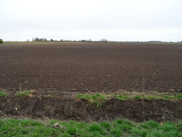
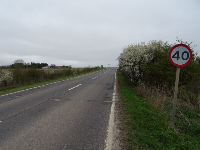
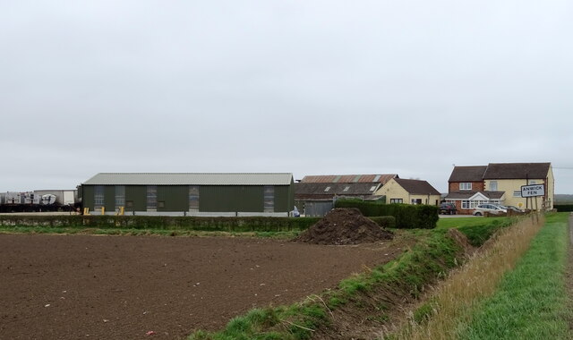
Preston Fen is a small village located in the county of Lincolnshire, England. Situated on the eastern edge of the county, it lies within the district of East Lindsey. The village is characterized by its picturesque surroundings, consisting of a mix of downs and moorland.

The downs of Preston Fen provide stunning panoramic views of the surrounding countryside. These rolling hills are covered in lush green grass and are often dotted with grazing livestock, adding to the area's rural charm. The downs also offer a variety of walking and hiking trails, attracting outdoor enthusiasts and nature lovers.

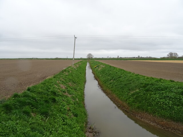
In contrast, the moorland of Preston Fen is a vast expanse of open, undulating land covered in heather and gorse. This unique ecosystem supports a diverse range of flora and fauna, making it an important habitat for several species of birds, insects, and small mammals. Visitors can explore the moorland through designated paths, allowing them to experience the tranquility and beauty of this untouched landscape.

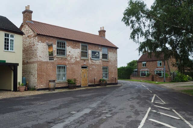
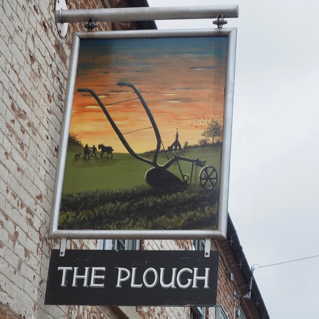
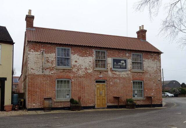
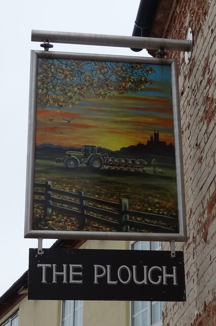
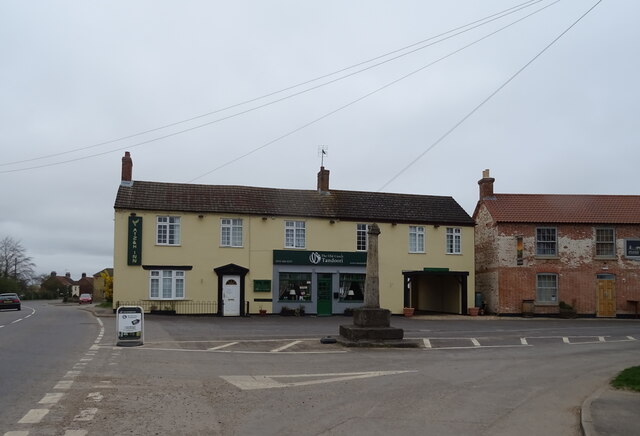
Preston Fen is home to a close-knit community, with a small population that values the village's peaceful atmosphere and natural surroundings. The village itself offers a few amenities, including a local pub and a small convenience store, ensuring that residents have access to basic necessities.

Overall, Preston Fen in Lincolnshire is a hidden gem offering a blend of downs and moorland, providing visitors with stunning views, opportunities for outdoor activities, and a chance to immerse themselves in the beauty of the English countryside.

If you have any feedback on the listing, please let us know in the comments section below.
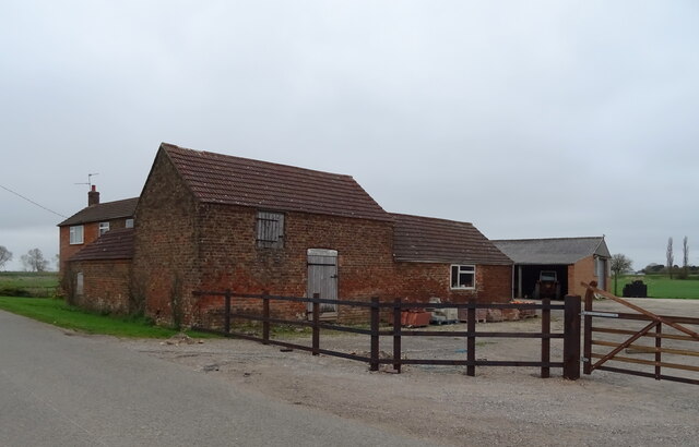
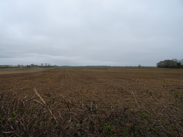
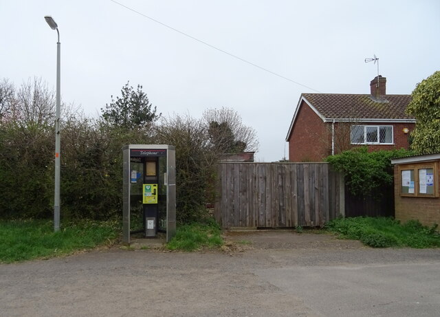
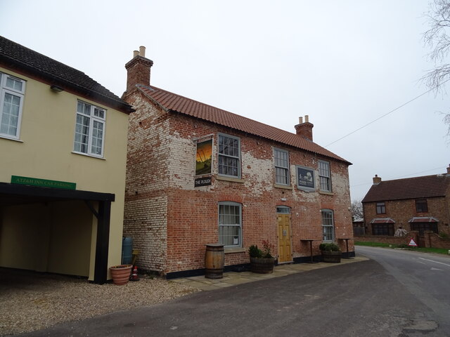
Preston Fen Images

Images are sourced within 2km of 53.06652/-0.28664516 or Grid Reference TF1453. Thanks to Geograph Open Source API. All images are credited.

The Plough Stripped down to the brick since last Geographed: <a href="https://www.geograph.org.uk/photo/4353407">TF1552 : The Plough, North Kyme</a>.
The Plough
Stripped down to the brick since last Geographed: TF1552 : The Plough, North Kyme.
The sign of The Plough See: <a href="https://www.geograph.org.uk/photo/6935405">TF1552 : The Plough</a>
The sign of The Plough
Missing defibrillator A repurposed BT telephone booth is no longer fit for purpose.
Missing defibrillator
A repurposed BT telephone booth is no longer fit for purpose.
Overgrown drain, Gale Fen View over the roadside drain.
Overgrown drain, Gale Fen
View over the roadside drain.
Fenland road towards North Kyme
Drain near White House Farm
Bridge Farm near North Kyme
Flat field off Main Street
Defibrillator in telephone kiosk on Main Street, North Kyme
The Plough, North Kyme
The Plough, North Kyme In 2014 - <a href="https://www.geograph.org.uk/photo/4353407">TF1552 : The Plough, North Kyme</a>
The Plough, North Kyme
Sign for the Plough, North Kyme
Village cross, North Kyme
ATZ & H Inn, North Kyme Formerly the Old Coach House Motel - <a href="https://www.geograph.org.uk/photo/4353402">TF1552 : Old Coach House Motel, North Kyme</a> and further back in time George Wilson's General Store <a href="https://www.geograph.org.uk/photo/542428">TF1552 : George Wilson's General Store</a>
ATZ & H Inn, North Kyme
Formerly the Old Coach House Motel - TF1552 : Old Coach House Motel, North Kyme and further back in time George Wilson's General Store TF1552 : George Wilson's General Store
Village cross and ATZ & H Inn, North Kyme The Plough public house to the right.
Village cross and ATZ & H Inn, North Kyme
The Plough public house to the right.
Flat farmland off Sleaford Road
Sleaford Road (A153) Towards North Kyme.
Sleaford Road (A153)
Towards North Kyme.
Fair View Farm
Fair View Farm
Show me another place!

Preston Fen is located at Grid Ref: TF1453 (Lat: 53.06652, Lng: -0.28664516)

Administrative County: Lincolnshire

District: North Kesteven

Police Authority: Lincolnshire

What 3 Words

///eternity.thinker.eggplants. Near Billinghay, Lincolnshire

Nearby Locations

Preston Fen

Related Wikis

North Kyme

North Kyme is a village and civil parish in the North Kesteven district of Lincolnshire, England. The civil parish had a population of 431 at the 2011...

Billinghay

Billinghay is a village and civil parish in the North Kesteven district of Lincolnshire, England. The village is situated approximately 7 miles (11 km...

Walcott, Lincolnshire

Walcott is a small village and civil parish in the North Kesteven district of Lincolnshire, England. The population of the civil parish at the 2011 census...

Catley Priory

Catley Priory was a monastic house in Walcott, Lincolnshire, England. The Gilbertine priory of Saint Mary, Catley, was founded as a double house for...

Nearby Amenities

Located within 500m of 53.06652,-0.28664516
Source: OS_OpenData _StreetView
Lat/Long: 53.0668173/-0.2843251
Source: OS_OpenData _StreetView
Lat/Long: 53.0696507/-0.2822547
Source: OS_OpenData _StreetView
Lat/Long: 53.0634058/-0.2862602
Source: OS_OpenData _StreetView
Lat/Long: 53.0627944/-0.2863313
Source: OS_OpenData _StreetView
Lat/Long: 53.0621288/-0.2855867
Material: wood
Power: pole
Lat/Long: 53.0670335/-0.2852221
Power: pole
Lat/Long: 53.0670045/-0.2861904
Material: wood
Power: pole
Lat/Long: 53.067177/-0.2838435
Power: pole
Lat/Long: 53.0699804/-0.2867201
Power: pole
Lat/Long: 53.0708378/-0.2865779
Power: pole
Lat/Long: 53.0690554/-0.286873
Mill Farm
Place: farm
Source: Bing
Lat/Long: 53.0635509/-0.290727
Preston Fen
Place: locality
Source: Bing
Lat/Long: 53.066586/-0.2867923
Sandpit Farm
Place: farm
Source: Bing
Lat/Long: 53.0622913/-0.2870671
Bleak House
Place: isolated_dwelling
Source: Bing
Lat/Long: 53.0696279/-0.2815222
Causeway Bridge
Place: locality
Source: Bing
Lat/Long: 53.0692168/-0.2893506
Willow Cottage
Place: isolated_dwelling
Source: Bing
Lat/Long: 53.0683632/-0.2826881
Bridge Farm
Place: farm
Source: Bing
Lat/Long: 53.0664164/-0.2904139
The data included in this document is from www.openstreetmap.org. The data is made available under ODbL.

Have you been to Preston Fen?

Leave your review of Preston Fen below (or comments, questions and feedback).