Gaynes Park

Downs, Moorland in Huntingdonshire Huntingdonshire

England

Gaynes Park

Grafham Water A view across Grafham Water from a position to the right of the cafe. Next to the jetty are a series of rowing and powered boats for the use of fishermen.
Grafham Water Credit: Malcolm Neal

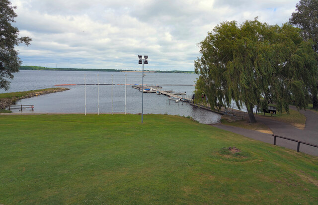
Gaynes Park is a picturesque area located in Huntingdonshire, a historic county in England. Nestled amidst the Downs and Moorland, this stunning landscape offers a diverse range of natural beauty. The park covers a vast expanse, spanning over acres of rolling hills, lush meadows, and serene woodlands.

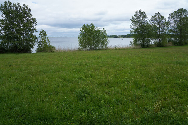
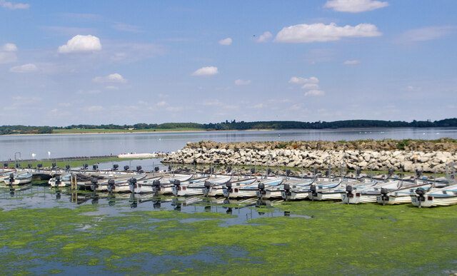
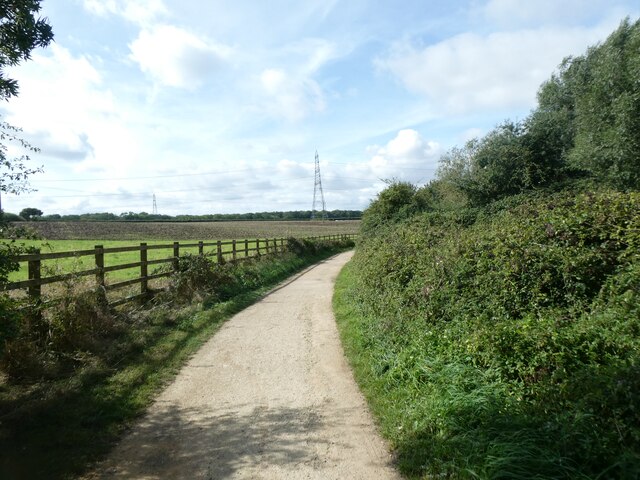
The Downs of Gaynes Park are characterized by their gently sloping hills and open grasslands, providing an ideal habitat for various species of flora and fauna. Visitors can enjoy breathtaking panoramic views of the surrounding countryside from these elevated areas. The Moorland, on the other hand, offers a different atmosphere with its heather-covered hills and peat bogs. This unique ecosystem is home to a range of wildlife, including birds, reptiles, and small mammals.

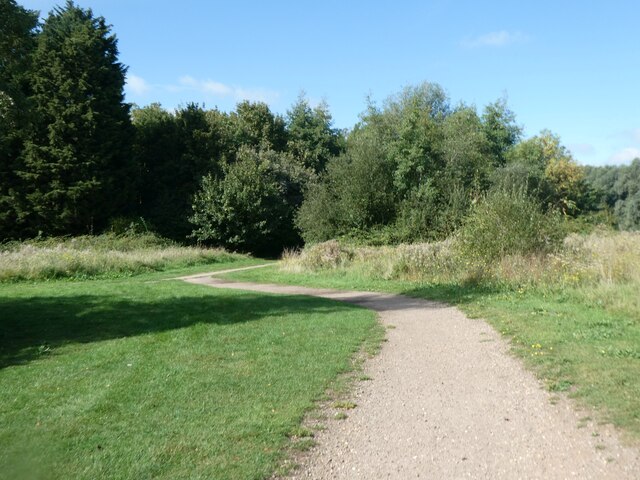
Gaynes Park is a haven for outdoor enthusiasts, offering ample opportunities for recreational activities. Hiking and walking trails traverse the park, allowing visitors to explore its diverse terrain. The park also boasts several picnic areas, where families and friends can relax and enjoy the tranquil surroundings.

Historically, Gaynes Park has played a significant role in the local community. It has been a site of agricultural activities, with evidence of farming dating back centuries. The park's rich history is palpable, with remnants of ancient structures and archaeological finds scattered throughout the area.

With its captivating landscapes, abundant wildlife, and historical significance, Gaynes Park is a cherished natural gem in Huntingdonshire. It offers visitors an escape from the hustle and bustle of everyday life, providing a serene and rejuvenating experience in the heart of the English countryside.

If you have any feedback on the listing, please let us know in the comments section below.
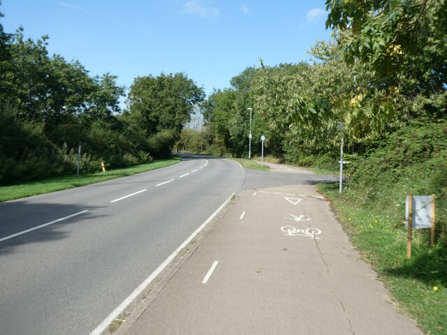
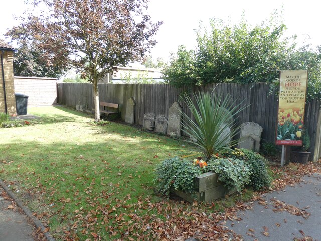
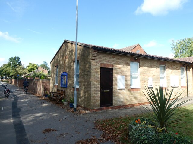
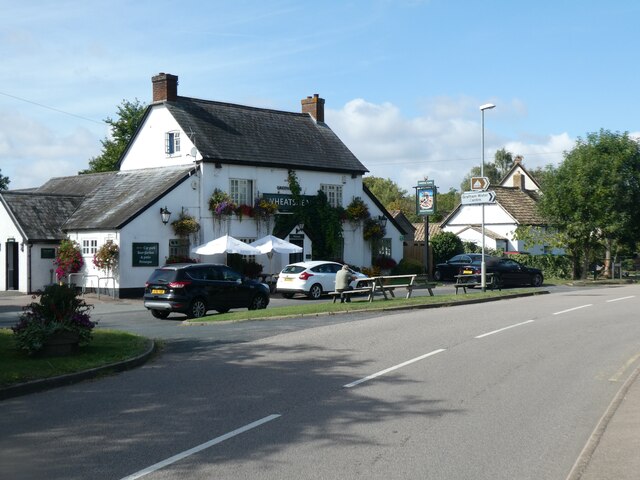
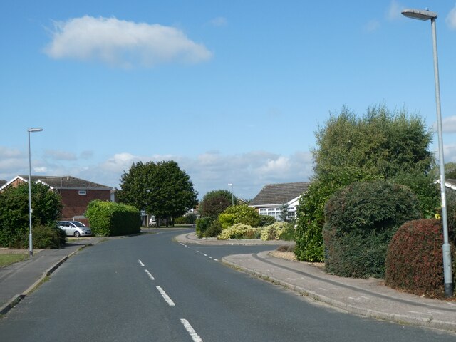
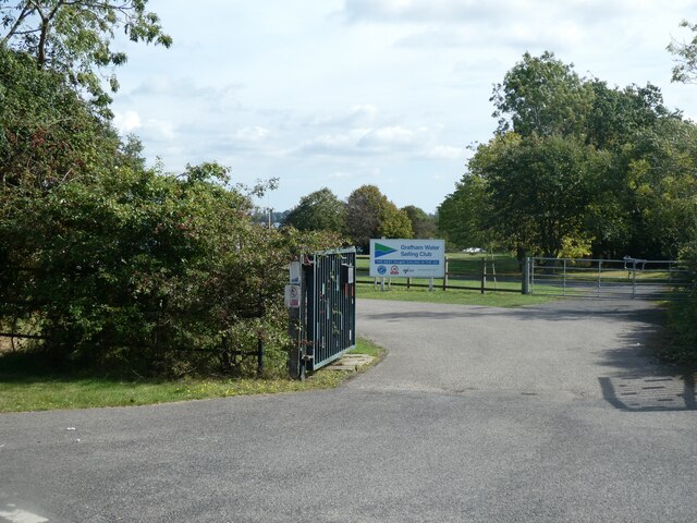
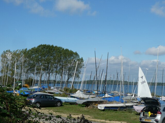
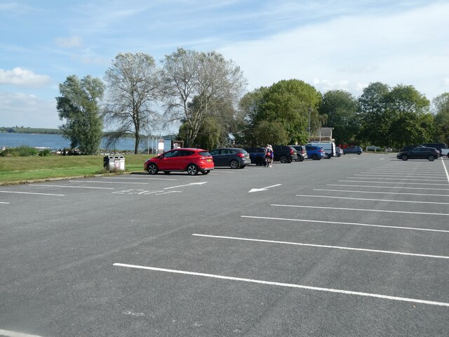
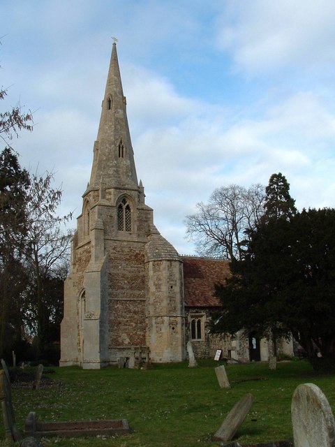
Gaynes Park Images

Images are sourced within 2km of 52.284688/-0.31733285 or Grid Reference TL1466. Thanks to Geograph Open Source API. All images are credited.

Grafham Water A view across Grafham Water from a position to the right of the cafe. Next to the jetty are a series of rowing and powered boats for the use of fishermen.
Grafham Water
A view across Grafham Water from a position to the right of the cafe. Next to the jetty are a series of rowing and powered boats for the use of fishermen.
A woodland path One of the varied paths and or cycle tracks that are to be found around Grafham Water.
A woodland path
One of the varied paths and or cycle tracks that are to be found around Grafham Water.
Grafham Water Looking back across an area of grass towards the visitor centre and car park, which cannot be seen as they are hidden by the sparse trees and bushes.
Grafham Water
Looking back across an area of grass towards the visitor centre and car park, which cannot be seen as they are hidden by the sparse trees and bushes.
East Perry : Perry Baptist Church
Grafham Water : fishing boats for hire
The south-east corner of Grafham Water
Woodland cycle route by south-east corner of Grafham Water
Cycle route by Grafham Water east of Perry
Cycle path by B661 east of Perry Part of the cycle route around the reservoir runs beside the road, as there is no convenient way closer to the water
Cycle path by B661 east of Perry
Part of the cycle route around the reservoir runs beside the road, as there is no convenient way closer to the water
The church garden and old gravestones, Perry Baptist Church The church <a href="https://www.geograph.org.uk/photo/7241580">TL1466 : East Perry : Perry Baptist Church</a> dates from 1990, replacing the unsafe building dated 1841; the gravestones had to be moved when the present building was built
The church garden and old gravestones, Perry Baptist Church
The church TL1466 : East Perry : Perry Baptist Church dates from 1990, replacing the unsafe building dated 1841; the gravestones had to be moved when the present building was built
Perry Baptist Church
The Wheatsheaf, Perry
Glebe Road, Perry A small housing estate
Glebe Road, Perry
A small housing estate
Entrance to Grafham Water Sailing Club
Sailing boats, Grafham Water Sailing Club
Seats with a view of Grafham Water, Perry
Car park by Grafham Water, Perry
Cycle route by woodland on bank of Grafham Water
Show me another place!

Gaynes Park is located at Grid Ref: TL1466 (Lat: 52.284688, Lng: -0.31733285)

Administrative County: Cambridgeshire

District: Huntingdonshire

Police Authority: Cambridgeshire

What 3 Words

///ratio.lasted.develop. Near Buckden, Cambridgeshire

Related Wikis

Gaynes Hall

Gaynes Hall is a Grade II* listed Georgian mansion set in 20 acres (81,000 m2) of parkland in the heart of the Cambridgeshire countryside. Located in the...

Perry, Cambridgeshire

Perry is a village and civil parish in Cambridgeshire, England, approximately 6 miles (10 km) south-west of Huntingdon. Perry is in Huntingdonshire, a...

HM Prison Littlehey

HM Prison Littlehey is a Category C male prison in the village of Perry near Huntingdon in Cambridgeshire, England. Littlehey Prison is operated by His...

Perry Woods

Perry Woods is a 67.9-hectare (168-acre) biological Site of Special Scientific Interest south-east of Kimbolton in Cambridgeshire. It is composed of three...

Grafham Water

Grafham Water is an 806.3-hectare (1,992-acre) biological Site of Special Scientific Interest (SSSI) north of Perry, Huntingdonshire. It was designated...

Great Staughton

Great Staughton is a village and civil parish in Cambridgeshire, England. Great Staughton lies approximately 8 miles (13 km) south-west of Huntingdon....

Grafham, Cambridgeshire

Grafham is a village and civil parish in Cambridgeshire, England. Grafham lies approximately 5 miles (8 km) south-west of Huntingdon. Grafham is situated...

Southoe and Midloe

Southoe and Midloe is a small civil parish in Cambridgeshire, England. The parish lies approximately 6 miles (10 km) south-west of Huntingdon. The parish...

Nearby Amenities

Located within 500m of 52.284688,-0.31733285
Perry
Created By: Potlatch 0.4c
Place: village
Lat/Long: 52.2887718/-0.3190968
Post Office
West Perry Post Office
Addr City: Huntingdon
Addr Country: GB
Addr Street: Chichester Way
Addr Suburb: Perry
Brand: Post Office
Brand Wikidata: Q1783168
Check Date: 2023-09-27
Ref Pol Id: 12525
Website: https://www.postoffice.co.uk/branch-finder/3142302/west-perry
Lat/Long: 52.288322/-0.3176945
West Perry B&B
Tourism: guest_house
Lat/Long: 52.2885291/-0.3190226
Buckden Court
Landuse: residential
Lat/Long: 52.2880074/-0.3172359
Bus Stop
Chichester Way
Bus: yes
Naptan AtcoCode: 0500HPERR001
Naptan Bearing: W
Naptan CommonName: Chichester Way
Naptan Indicator: opp
Naptan Landmark: East Perry
Naptan NaptanCode: cmbdptdj
Naptan ShortCommonName: Chichester Way
Naptan Street: Crow Spinney Lane
Naptan Verified: no
Public Transport: platform
Source: naptan_import
Lat/Long: 52.2878407/-0.317787
Power: pole
Lat/Long: 52.2863293/-0.3181475
Power: pole
Lat/Long: 52.2867427/-0.3194377
Power: pole
Lat/Long: 52.2876599/-0.3222431
Power: pole
Lat/Long: 52.2854711/-0.3155778
Power: pole
Lat/Long: 52.284992/-0.3141292
Power: pole
Lat/Long: 52.2834347/-0.3117828
Power: pole
Lat/Long: 52.287207/-0.3208458
Power: pole
Lat/Long: 52.2859471/-0.3170316
Barrier: kissing_gate
Lat/Long: 52.2858975/-0.321373
Barrier: kissing_gate
Lat/Long: 52.2873261/-0.3182366
Bench
Lat/Long: 52.2881834/-0.3180822
Bench
Lat/Long: 52.2883803/-0.3173605
Building: residential
Lat/Long: 52.2886682/-0.3147079
Building: residential
Lat/Long: 52.2885616/-0.3147857
Building: residential
Lat/Long: 52.2883327/-0.3144758
Building: residential
Lat/Long: 52.2880776/-0.3154127
Building: residential
Lat/Long: 52.2880635/-0.3150939
Building: residential
Lat/Long: 52.2880355/-0.3146548
Building: residential
Lat/Long: 52.2880473/-0.3148582
Building: residential
Lat/Long: 52.288069/-0.3152539
Building: residential
Lat/Long: 52.2882121/-0.3157352
Building: residential
Lat/Long: 52.2880763/-0.318687
Building: residential
Lat/Long: 52.2881583/-0.3190116
Building: residential
Lat/Long: 52.2881747/-0.3197492
Building: residential
Lat/Long: 52.2875892/-0.3176042
Building: residential
Lat/Long: 52.2876215/-0.3178217
Building: residential
Lat/Long: 52.2878904/-0.3184012
Building: residential
Lat/Long: 52.288037/-0.3184542
Building: residential
Lat/Long: 52.287836/-0.318796
Building: residential
Lat/Long: 52.2879189/-0.3193228
Building: residential
Lat/Long: 52.2882129/-0.3192581
Building: residential
Lat/Long: 52.2884541/-0.3187528
Building: residential
Lat/Long: 52.2883053/-0.3183615
Building: residential
Lat/Long: 52.2883938/-0.3184878
Building: residential
Lat/Long: 52.2882261/-0.3179531
Building: residential
Lat/Long: 52.2882618/-0.3180394
Building: residential
Lat/Long: 52.2884744/-0.3168878
Building: residential
Lat/Long: 52.2885441/-0.3168289
Building: residential
Lat/Long: 52.2880776/-0.3160016
Building: residential
Lat/Long: 52.2883193/-0.3150246
Building: residential
Lat/Long: 52.2887804/-0.3146442
Building: residential
Lat/Long: 52.2885963/-0.3207485
Building: residential
Lat/Long: 52.2883127/-0.317993
Building: residential
Lat/Long: 52.2882844/-0.3179129
Building: residential
Lat/Long: 52.2883372/-0.3178636
Building: residential
Lat/Long: 52.2883089/-0.3177958
Building: residential
Lat/Long: 52.2883881/-0.3178266
Building: residential
Lat/Long: 52.2883598/-0.3177526
Building: residential
Lat/Long: 52.2884239/-0.3177711
Building: residential
Lat/Long: 52.2884031/-0.3177033
Building: residential
Lat/Long: 52.2887382/-0.3167789
Building: residential
Lat/Long: 52.2888739/-0.3165941
Building: residential
Lat/Long: 52.2890096/-0.3164985
Building: residential
Lat/Long: 52.2890737/-0.316249
Perry
Man Made: village_sign
Source: survey
Tourism: artwork
Lat/Long: 52.2878911/-0.3174314
The data included in this document is from www.openstreetmap.org. The data is made available under ODbL.

Have you been to Gaynes Park?

Leave your review of Gaynes Park below (or comments, questions and feedback).