Dunsby Fen
Downs, Moorland in Lincolnshire South Kesteven
England
Dunsby Fen

Dunsby Fen is a rural area located in the county of Lincolnshire, England. Situated on the eastern side of the county, it is characterized by its unique blend of downs and moorland landscapes. The fen is surrounded by vast stretches of open countryside and is known for its picturesque beauty.
Covering an area of approximately 300 square kilometers, Dunsby Fen is predominantly flat, with gently rolling hills and low-lying marshes. The area is intersected by numerous small streams and waterways, adding to its natural charm. These water features also provide a habitat for a diverse range of flora and fauna, making it a popular destination for nature enthusiasts and wildlife photographers.
The fen is home to a variety of plant species, including reeds, sedges, and water lilies, which thrive in the wetland environment. It is also a haven for a wide range of bird species, such as swans, herons, and ducks, attracting birdwatchers from far and wide.
The landscape of Dunsby Fen is dotted with small villages and farmsteads, adding to the rural charm of the area. Agriculture plays a significant role in the local economy, with the fertile soil supporting a range of crops, including wheat, barley, and potatoes.
Visitors to Dunsby Fen can enjoy a range of outdoor activities, including walking, cycling, and birdwatching. The area is crisscrossed by a network of footpaths and bridleways, allowing visitors to explore the fen and its surroundings at their leisure.
Overall, Dunsby Fen is a tranquil and scenic area, offering a glimpse into the unspoiled beauty of Lincolnshire's countryside.
If you have any feedback on the listing, please let us know in the comments section below.
Dunsby Fen Images
Images are sourced within 2km of 52.827215/-0.30417974 or Grid Reference TF1426. Thanks to Geograph Open Source API. All images are credited.


Dunsby Fen is located at Grid Ref: TF1426 (Lat: 52.827215, Lng: -0.30417974)
Administrative County: Lincolnshire
District: South Kesteven
Police Authority: Lincolnshire
What 3 Words
///operation.tweed.skimmers. Near Billingborough, Lincolnshire
Nearby Locations
Related Wikis

South Forty-Foot Drain
The South Forty-Foot Drain, also known as the Black Sluice Navigation, is the main channel for the land-drainage of the Black Sluice Level in the Lincolnshire...

Rippingale railway station
Rippingale railway station was a station serving the villages of Rippingale, Dowsby and Dunsby, Lincolnshire on the Great Northern Railway Bourne and Sleaford...
Dunsby
Dunsby is a small village and civil parish in the South Kesteven district of in Lincolnshire, England. It is 4 miles (6.4 km) north from Bourne, just east...

Dowsby
Dowsby is a village and civil parish in the South Kesteven district of Lincolnshire, England. It is situated on the western edge of The Fens at the junction...

Dowsby Hall
Dowsby Hall is an early 17th-century house situated in Dowsby, Lincolnshire, England, and 6 miles (10 km) to the north of Bourne. Originally a much grander...

Haconby
Haconby is a village and civil parish in the South Kesteven district of Lincolnshire, England. The population of the civil parish at the 2001 census was...

Rippingale
Rippingale is a village and civil parish in the South Kesteven district of Lincolnshire, England. The population of the civil parish was 929 at the 2011...
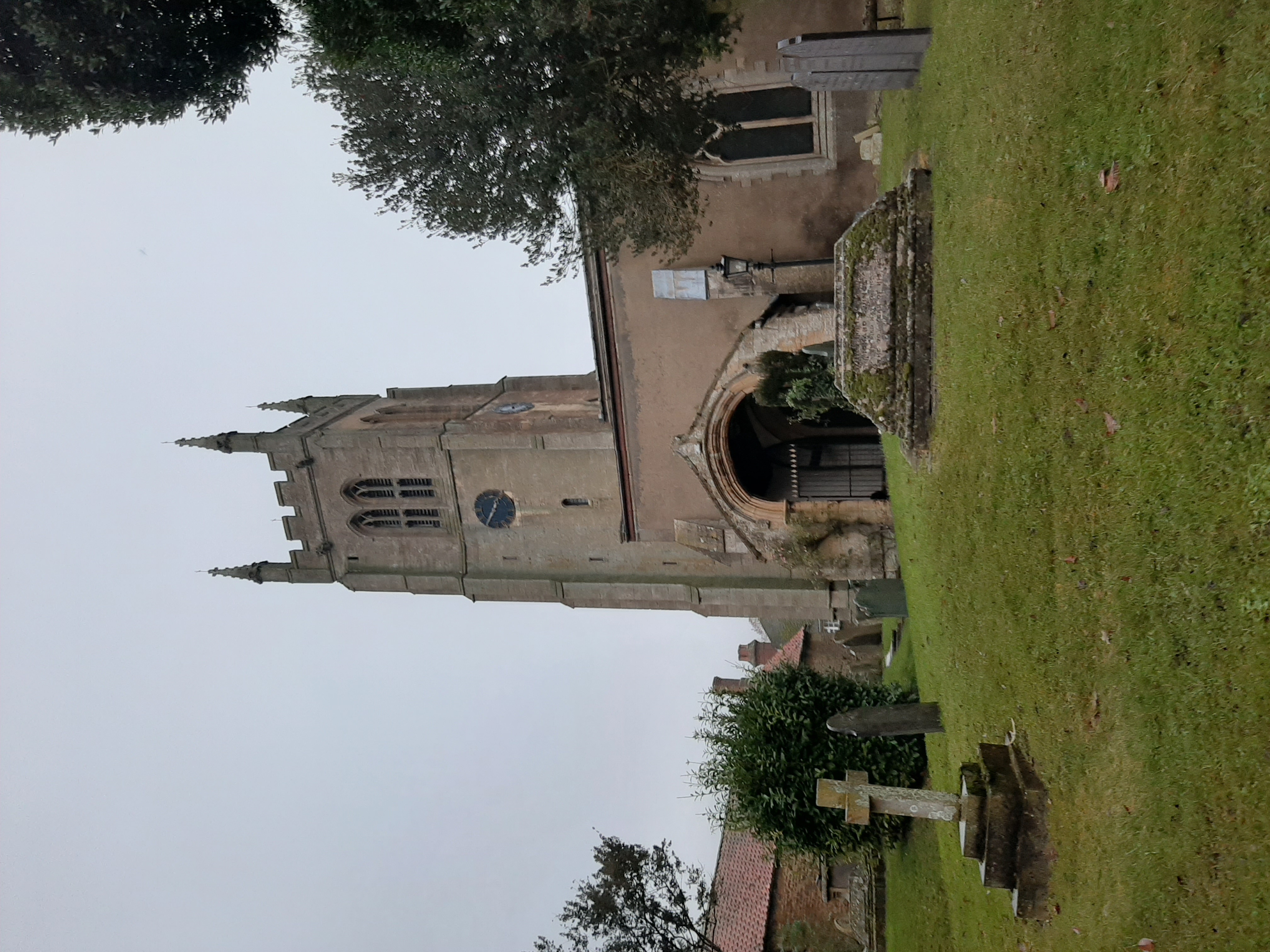
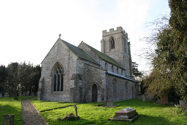
St Andrew's Church, Rippingale
The Church of St Andrew in Rippingale, Lincolnshire, England, is a Grade I–listed Anglican church. The earliest phase of the church dates back to the mid...
Have you been to Dunsby Fen?
Leave your review of Dunsby Fen below (or comments, questions and feedback).