Billinghay Field

Downs, Moorland in Lincolnshire North Kesteven

England

Billinghay Field

Drain near White House Farm
Drain near White House Farm Credit: JThomas

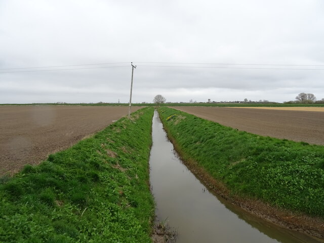
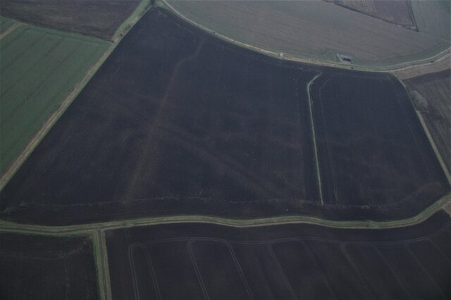
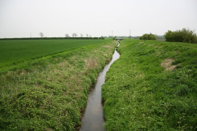
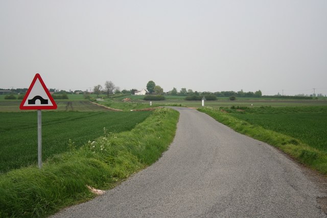
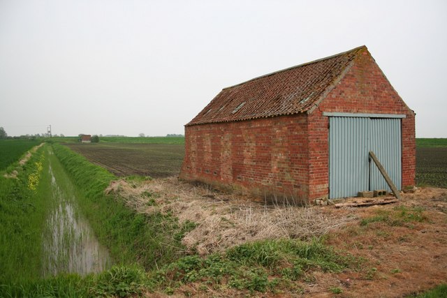
Billinghay Field is a picturesque area located in the county of Lincolnshire, England. Situated in the heart of the county, it is known for its stunning natural beauty and diverse landscape. The field is characterized by its rolling downs, expansive moorland, and breathtaking views.

Covering an area of approximately 500 acres, Billinghay Field offers a unique mix of habitats, making it a haven for wildlife enthusiasts and nature lovers. The downs, with their gently sloping hills, are home to an array of plant species including wildflowers, grasses, and shrubs. These provide vital food and shelter for a variety of bird species, such as skylarks and meadow pipits.

The moorland, on the other hand, offers a stark contrast to the downs. With its open expanse and heather-covered terrain, it provides a habitat for a range of bird species including grouse and curlews. The moorland is also home to several species of small mammals, such as voles and rabbits.

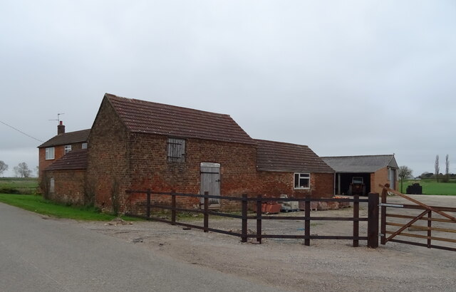
In addition to its natural beauty, Billinghay Field has historical significance. It is believed to have been used for farming and grazing since medieval times, and remnants of old field boundaries and stone structures can still be seen today.

Visitors to Billinghay Field can enjoy leisurely walks, take in the panoramic views, and immerse themselves in the tranquility of this rural landscape. The field is easily accessible, with well-maintained footpaths and designated parking areas.

Overall, Billinghay Field is a true gem in Lincolnshire, offering a unique blend of natural beauty, wildlife, and historical charm.

If you have any feedback on the listing, please let us know in the comments section below.

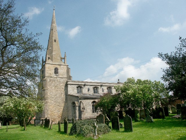
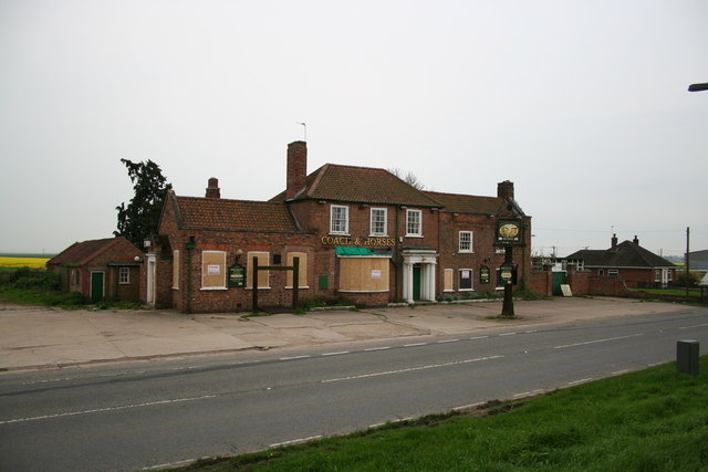
Billinghay Field Images

Images are sourced within 2km of 53.081156/-0.29793356 or Grid Reference TF1455. Thanks to Geograph Open Source API. All images are credited.

Drain near White House Farm
Bridge Farm near North Kyme
Cropmarks on field at Walcott: aerial 2022 (1) See <a href="https://www.geograph.org.uk/photo/7100915">TF1356 : Cropmarks on field at Walcott: aerial 2022 (2)</a> - different field, different cropmark.
Cropmarks on field at Walcott: aerial 2022 (1)
See TF1356 : Cropmarks on field at Walcott: aerial 2022 (2) - different field, different cropmark.
Soilmarks on a field west of Billinghay: aerial 2022
Cropmarks on field at Walcott: aerial 2022 (2) See <a href="https://www.geograph.org.uk/photo/7100881">TF1256 : Cropmarks on field at Walcott: aerial 2022 (1)</a> - different field, different cropmark.
Cropmarks on field at Walcott: aerial 2022 (2)
See TF1256 : Cropmarks on field at Walcott: aerial 2022 (1) - different field, different cropmark.
Billinghay Water Tower At about 12m above sea level - the highest point in Billinghay
Billinghay Water Tower
At about 12m above sea level - the highest point in Billinghay
St.Oswald's church, Walcott, Lincs. Bland, brick Victorian box of 1852
St.Oswald's church, Walcott, Lincs.
Bland, brick Victorian box of 1852
Coach and Horses Public House Coach and Horses Public House, Billinghay Lincolnshire
Coach and Horses Public House
Coach and Horses Public House, Billinghay Lincolnshire
St Michael & All Angels, Billinghay This delightful village church dates back to the 13th Century.
St Michael & All Angels, Billinghay
This delightful village church dates back to the 13th Century.
The Coach & Horses Historic inn, now closed and awaiting a buyer
The Coach & Horses
Historic inn, now closed and awaiting a buyer
New Cut Drain Looking south east towards the causeway
New Cut Drain
Looking south east towards the causeway
From Digby Fen Looking towards Grange farm and the village of Billinghay beyond from Digby Fen
From Digby Fen
Looking towards Grange farm and the village of Billinghay beyond from Digby Fen
On Digby Fen Looking towards the pumping station and Digby Dam
On Digby Fen
Looking towards the pumping station and Digby Dam
Pitts Farm Juat beyond Pitts Farm is Dorrington Dike.
Pitts Farm
Juat beyond Pitts Farm is Dorrington Dike.
Ditch for the Dike The large grassed bank to the right of this ditch is Dorrington Dike.  At only 3 metres above sea level any water in this area has a long journey to the sea.
Ditch for the Dike
The large grassed bank to the right of this ditch is Dorrington Dike. At only 3 metres above sea level any water in this area has a long journey to the sea.
Roadside drain
Roadside drain
Track to Home Farm
Track to Home Farm
Farm buildings
Farm buildings
Show me another place!

Billinghay Field is located at Grid Ref: TF1455 (Lat: 53.081156, Lng: -0.29793356)

Administrative County: Lincolnshire

District: North Kesteven

Police Authority: Lincolnshire

What 3 Words

///cakewalk.classics.engine. Near Billinghay, Lincolnshire

Related Wikis

Billinghay

Billinghay is a village and civil parish in the North Kesteven district of Lincolnshire, England. The village is situated approximately 7 miles (11 km...

Walcott, Lincolnshire

Walcott is a small village and civil parish in the North Kesteven district of Lincolnshire, England. The population of the civil parish at the 2011 census...

Catley Priory

Catley Priory was a monastic house in Walcott, Lincolnshire, England. The Gilbertine priory of Saint Mary, Catley, was founded as a double house for nuns...

North Kyme

North Kyme is a village and civil parish in the North Kesteven district of Lincolnshire, England. The civil parish had a population of 431 at the 2011...

Nearby Amenities

Located within 500m of 53.081156,-0.29793356
Sprite Lane
Naptan AtcoCode: 270000008403
Naptan Bearing: SE
Naptan BusStopType: CUS
Naptan CommonName: Sprite Lane
Naptan Indicator: opp
Naptan Landmark: Sprite Lane
Naptan NaptanCode: lingpwdp
Naptan Street: Walcott Road
Naptan Verified: no
Source: naptan_import
Lat/Long: 53.0811303/-0.2931642
Bus Stop
Sprite Lane
Naptan AtcoCode: 2700LBWR1195
Naptan Bearing: NW
Naptan CommonName: Sprite Lane
Naptan Indicator: adj
Naptan Landmark: Sprite Lane
Naptan NaptanCode: linajgdm
Naptan Street: Walcott Road
Naptan Verified: no
Shelter: yes
Source: naptan_import
Lat/Long: 53.0810978/-0.2934044
Fire Station
Lat/Long: 53.0790656/-0.2927313
Natural: peak
Source: Bing
Lat/Long: 53.0805376/-0.292232
Generator Method: photovoltaic
Generator Output Electricity: yes
Generator Source: solar
Generator Type: solar_photovoltaic_panel
Location: roof
Power: generator
Lat/Long: 53.0820953/-0.2907099
Generator Method: photovoltaic
Generator Output Electricity: yes
Generator Source: solar
Generator Type: solar_photovoltaic_panel
Location: roof
Power: generator
Lat/Long: 53.0821074/-0.290903
Generator Method: photovoltaic
Generator Output Electricity: yes
Generator Source: solar
Generator Type: solar_photovoltaic_panel
Location: roof
Power: generator
Lat/Long: 53.0821147/-0.2910666
Generator Method: photovoltaic
Generator Output Electricity: yes
Generator Source: solar
Generator Type: solar_photovoltaic_panel
Location: roof
Power: generator
Lat/Long: 53.0821928/-0.2920027
Generator Method: photovoltaic
Generator Output Electricity: yes
Generator Source: solar
Generator Type: solar_photovoltaic_panel
Location: roof
Power: generator
Lat/Long: 53.0812882/-0.2919933
Generator Method: photovoltaic
Generator Output Electricity: yes
Generator Source: solar
Generator Type: solar_photovoltaic_panel
Location: roof
Power: generator
Lat/Long: 53.0801362/-0.2929227
Generator Method: photovoltaic
Generator Output Electricity: yes
Generator Source: solar
Generator Type: solar_photovoltaic_panel
Location: roof
Power: generator
Lat/Long: 53.0800774/-0.2928624
Generator Method: photovoltaic
Generator Output Electricity: yes
Generator Source: solar
Generator Type: solar_photovoltaic_panel
Location: roof
Power: generator
Lat/Long: 53.0796713/-0.2930595
Generator Method: photovoltaic
Generator Output Electricity: yes
Generator Source: solar
Generator Type: solar_photovoltaic_panel
Location: roof
Power: generator
Lat/Long: 53.0797302/-0.2929777
Generator Method: photovoltaic
Generator Output Electricity: yes
Generator Source: solar
Generator Type: solar_photovoltaic_panel
Location: roof
Power: generator
Lat/Long: 53.0797712/-0.2927215
Generator Method: photovoltaic
Generator Output Electricity: yes
Generator Source: solar
Generator Type: solar_photovoltaic_panel
Location: roof
Power: generator
Lat/Long: 53.0797728/-0.2925861
Generator Method: photovoltaic
Generator Output Electricity: yes
Generator Source: solar
Generator Type: solar_photovoltaic_panel
Location: roof
Power: generator
Lat/Long: 53.0797285/-0.2923045
Generator Method: photovoltaic
Generator Output Electricity: yes
Generator Source: solar
Generator Type: solar_photovoltaic_panel
Location: roof
Power: generator
Lat/Long: 53.0796875/-0.2921891
Generator Method: photovoltaic
Generator Output Electricity: yes
Generator Source: solar
Generator Type: solar_photovoltaic_panel
Location: roof
Power: generator
Lat/Long: 53.0796971/-0.2918163
Generator Method: photovoltaic
Generator Output Electricity: yes
Generator Source: solar
Generator Type: solar_photovoltaic_panel
Location: roof
Power: generator
Lat/Long: 53.079735/-0.2917144
Generator Method: photovoltaic
Generator Output Electricity: yes
Generator Source: solar
Generator Type: solar_photovoltaic_panel
Location: roof
Power: generator
Lat/Long: 53.0800314/-0.2917787
Generator Method: photovoltaic
Generator Output Electricity: yes
Generator Source: solar
Generator Type: solar_photovoltaic_panel
Location: roof
Power: generator
Lat/Long: 53.0800298/-0.2919209
Generator Method: photovoltaic
Generator Output Electricity: yes
Generator Source: solar
Generator Type: solar_photovoltaic_panel
Location: roof
Power: generator
Lat/Long: 53.0800451/-0.292106
Generator Method: photovoltaic
Generator Output Electricity: yes
Generator Source: solar
Generator Type: solar_photovoltaic_panel
Location: roof
Power: generator
Lat/Long: 53.0800484/-0.2922347
Generator Method: photovoltaic
Generator Output Electricity: yes
Generator Source: solar
Generator Type: solar_photovoltaic_panel
Location: roof
Power: generator
Lat/Long: 53.0800274/-0.2924171
Generator Method: photovoltaic
Generator Output Electricity: yes
Generator Source: solar
Generator Type: solar_photovoltaic_panel
Location: roof
Power: generator
Lat/Long: 53.0800258/-0.2925459
The data included in this document is from www.openstreetmap.org. The data is made available under ODbL.

Have you been to Billinghay Field?

Leave your review of Billinghay Field below (or comments, questions and feedback).