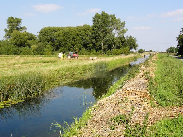
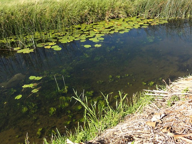
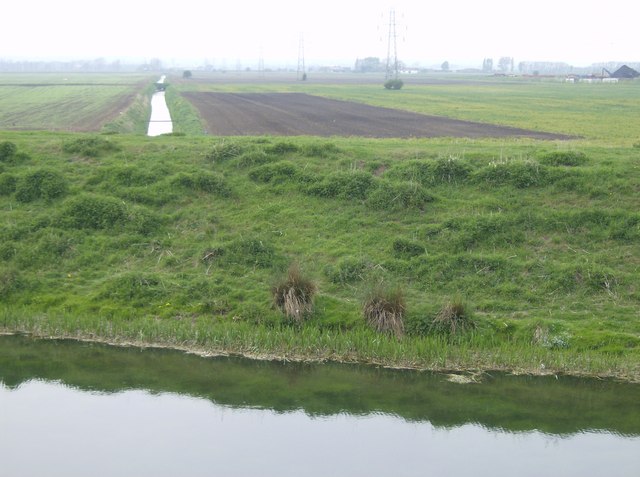
Baston Fen

Downs, Moorland in Lincolnshire South Kesteven

England

Baston Fen

Farmland north of Baston Outgang Road Looking north from Baston Outgang road, with a farm building visible to the right.
Farmland north of Baston Outgang Road Credit: Ajay Tegala

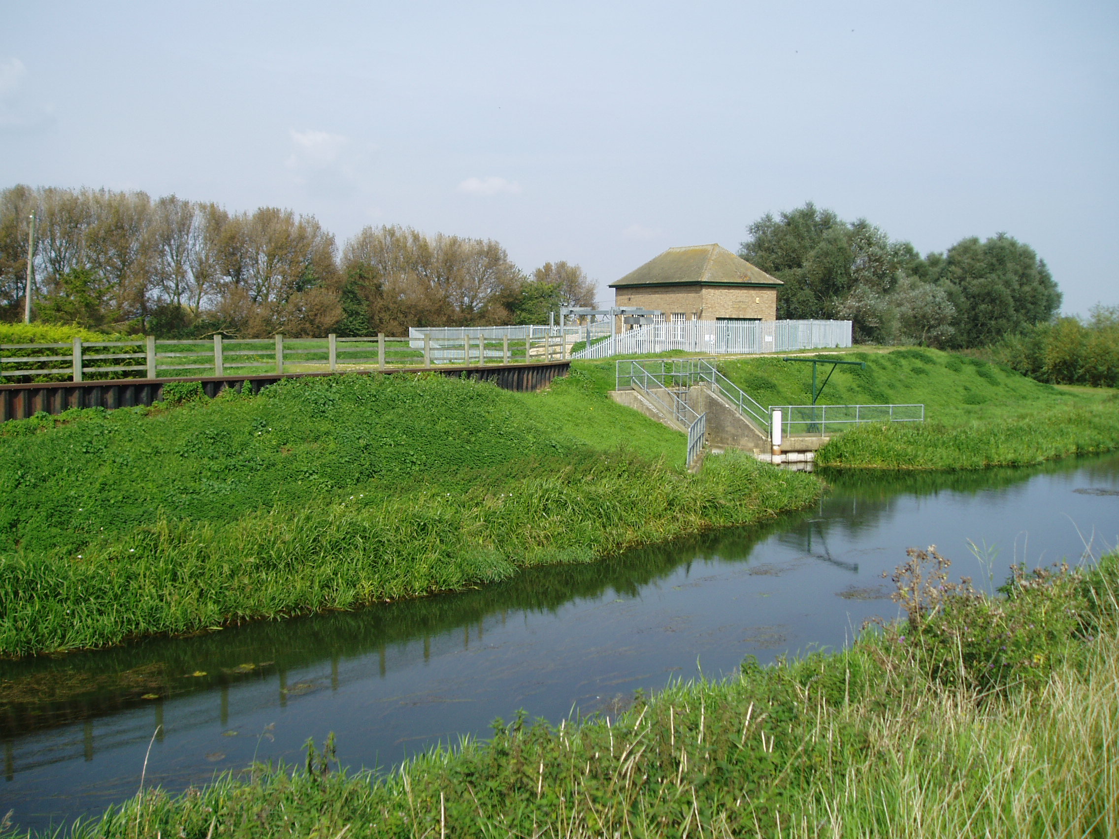
Baston Fen is a picturesque area located in the county of Lincolnshire, England. It is characterized by its diverse landscape, consisting of downs and moorland. The fen is situated near the village of Baston, which lends its name to the area.

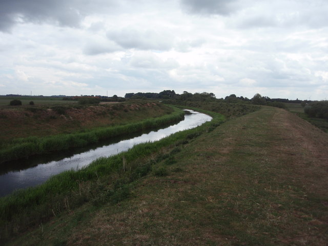
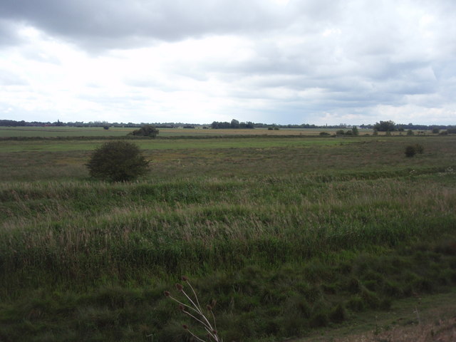
The downs of Baston Fen are rolling hills covered in grass, creating a scenic and tranquil atmosphere. These hills offer stunning panoramic views of the surrounding countryside, making it a popular destination for nature lovers and hikers. The area is also home to a variety of wildlife, including birds, butterflies, and wildflowers, adding to its natural beauty.

On the other hand, the moorland in Baston Fen is characterized by its open, boggy terrain. It is covered in heather and peat, creating a unique and distinctive landscape. Moorland provides a habitat for various bird species, such as grouse, and is often a site for birdwatchers to observe rare and migratory birds.

Baston Fen is a haven for outdoor enthusiasts, offering opportunities for walking, cycling, and horse riding. The area is crisscrossed by numerous footpaths and trails, allowing visitors to explore its diverse landscapes at their own pace.

In addition to its natural attractions, Baston Fen is also home to some historical landmarks. The nearby Baston Windmill, a Grade II listed building, stands as a testament to the area's agricultural heritage.

Overall, Baston Fen in Lincolnshire is a captivating destination, boasting a combination of downs and moorland, providing visitors with a unique and memorable experience immersed in nature.

If you have any feedback on the listing, please let us know in the comments section below.
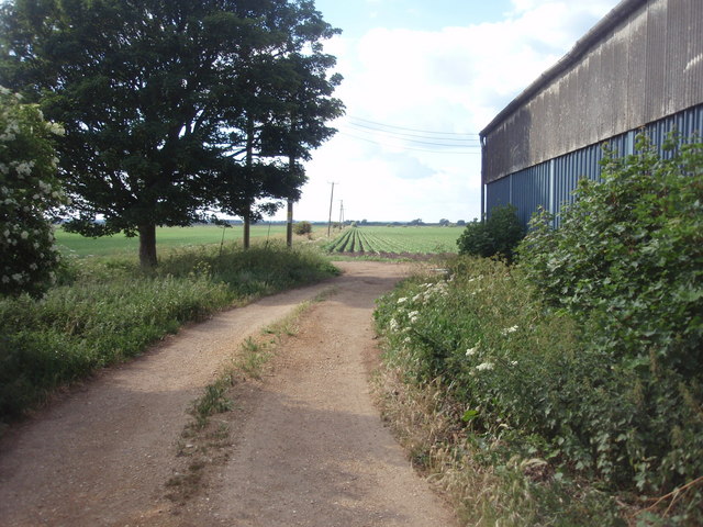
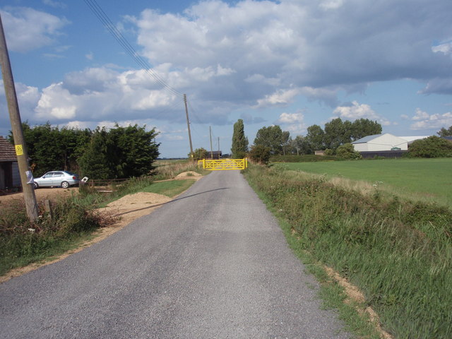
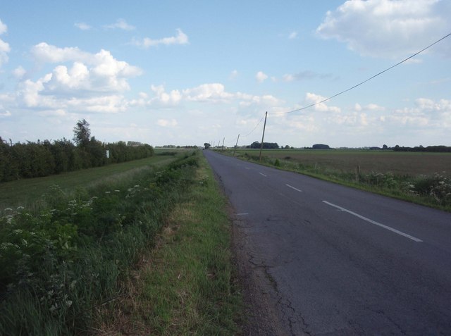
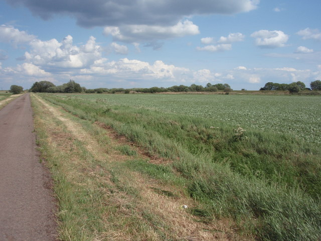
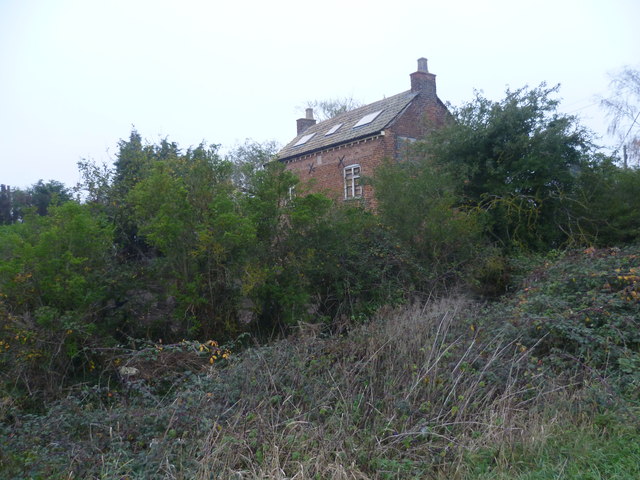
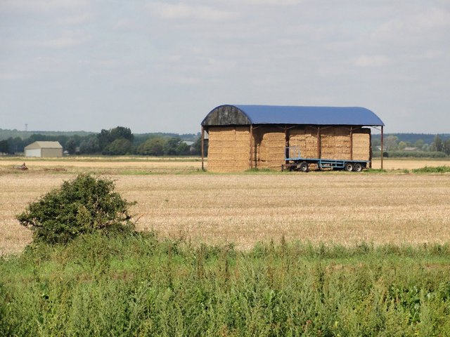
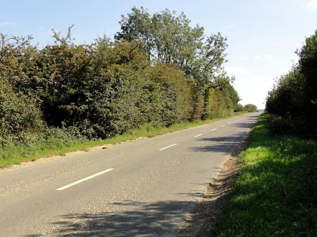
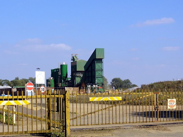
Baston Fen Images

Images are sourced within 2km of 52.729029/-0.31169453 or Grid Reference TF1415. Thanks to Geograph Open Source API. All images are credited.

Farmland north of Baston Outgang Road Looking north from Baston Outgang road, with a farm building visible to the right.
Farmland north of Baston Outgang Road
Looking north from Baston Outgang road, with a farm building visible to the right.
Bright yellow gates Gates on the track that connects Deeping Fen Farm to Baston Outgang Road.
Bright yellow gates
Gates on the track that connects Deeping Fen Farm to Baston Outgang Road.
Black Drove The stretch of Black Drove near Windmill Farm.
Black Drove
The stretch of Black Drove near Windmill Farm.
Field north of the River Glen A field to the north of the River Glen.
Field north of the River Glen
A field to the north of the River Glen.
River Glen A bend in the River Glen. Although originally a natural waterway, clearly the banks have been constructed for flood defence reasons.
River Glen
A bend in the River Glen. Although originally a natural waterway, clearly the banks have been constructed for flood defence reasons.
Baston Fen Part of the Baston Fen nature reserve viewed from the footpath on the south River Glen bank.
Baston Fen
Part of the Baston Fen nature reserve viewed from the footpath on the south River Glen bank.
Derelict pub on Baston Outgang Road It appears as if the former New Inn on the corner of Baston Outgang Road and Cross Road was being restored as a dwelling. Certainly the rubbish piled in front of it as seen on Street View seems to have been cleared and the roof has been repaired.
Derelict pub on Baston Outgang Road
It appears as if the former New Inn on the corner of Baston Outgang Road and Cross Road was being restored as a dwelling. Certainly the rubbish piled in front of it as seen on Street View seems to have been cleared and the roof has been repaired.
Former New Inn at Baston Outang Road It appears as if the former New Inn on the corner of Baston Outgang Road and Cross Road was being restored as a dwelling. Certainly the rubbish piled in front of it as seen on Street View seems to have been cleared and the roof has been repaired. The outbuilding in front though is still completely derelict.
Former New Inn at Baston Outang Road
It appears as if the former New Inn on the corner of Baston Outgang Road and Cross Road was being restored as a dwelling. Certainly the rubbish piled in front of it as seen on Street View seems to have been cleared and the roof has been repaired. The outbuilding in front though is still completely derelict.
Former New Inn as seen from Cross Road It appears as if the former New Inn on the corner of Baston Outgang Road and Cross Road was being restored as a dwelling. Certainly the rubbish piled in front of it as seen on Street View seems to have been cleared and the roof has been repaired. This is the view of the back of it seen from Cross Road.
Former New Inn as seen from Cross Road
It appears as if the former New Inn on the corner of Baston Outgang Road and Cross Road was being restored as a dwelling. Certainly the rubbish piled in front of it as seen on Street View seems to have been cleared and the roof has been repaired. This is the view of the back of it seen from Cross Road.
Barn on Thurlby Fen The barn is sheltering straw bales, the surrounding fields are stubble.
Barn on Thurlby Fen
The barn is sheltering straw bales, the surrounding fields are stubble.
Cross Road The thick hedges hide the flooded gravel pits on either side of this straight fenland road.
Cross Road
The thick hedges hide the flooded gravel pits on either side of this straight fenland road.
Gravel Works Looking through the gate to the gravel processing works.
Gravel Works
Looking through the gate to the gravel processing works.
Sand and Gravel Extraction in Progress This pit is new enough not to be marked on my map. An excavator scoops up the gravel and loads it into a large dumper truck.
Sand and Gravel Extraction in Progress
This pit is new enough not to be marked on my map. An excavator scoops up the gravel and loads it into a large dumper truck.
Fenland Track This track goes arrow straight across the fenland at right angles to Baston Outgang Road.
Fenland Track
This track goes arrow straight across the fenland at right angles to Baston Outgang Road.
Baston Outgang Road The occasional isolated house dots the edge of this long straight fenland road.
Baston Outgang Road
The occasional isolated house dots the edge of this long straight fenland road.
Deeping Fen Farm The public road makes a sharp 90 degree turn here from Baston Outgang Road to Black Drove. This private road however carries straight on to Deeping Fen Farm.
Deeping Fen Farm
The public road makes a sharp 90 degree turn here from Baston Outgang Road to Black Drove. This private road however carries straight on to Deeping Fen Farm.
The Counter Drain The grass on the land between the Counter Drain and the River Glen is being harvested and baled.
The Counter Drain
The grass on the land between the Counter Drain and the River Glen is being harvested and baled.
Looking into the Counter Drain The water here is of exceptional clarity. Whoever is managing this drain is getting it right.
Looking into the Counter Drain
The water here is of exceptional clarity. Whoever is managing this drain is getting it right.
Show me another place!

Baston Fen is located at Grid Ref: TF1415 (Lat: 52.729029, Lng: -0.31169453)

Administrative County: Lincolnshire

District: South Kesteven

Police Authority: Lincolnshire

What 3 Words

///pepper.nerves.blogs. Near Baston, Lincolnshire

Nearby Locations

Baston Fen

Related Wikis

Gilbert Heathcote's tunnel

Gilbert Heathcote's tunnel was an engineering project dating from the 1630s as one of the earliest modern attempts to drain The Fens in Lincolnshire....

Thetford, Lincolnshire

Thetford is a hamlet and farm in the civil parish of Baston in the South Kesteven district of Lincolnshire, England. Although Thetford has shrunken to...
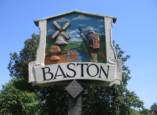
Baston

Baston is a village and parish on the edge of The Fens and in the administrative district of South Kesteven, Lincolnshire, England. The 2011 census reported...

Tongue End

Tongue End is a small village in the South Holland district of Lincolnshire, England. It is situated 4 miles (6 km) east from Bourne and 6 miles (10 km...

Nearby Amenities

Located within 500m of 52.729029,-0.31169453
Baston Fen Farm
Place: farm
Source: Bing
Lat/Long: 52.7295617/-0.3144029
Baston Fen
Place: locality
Source: Bing
Lat/Long: 52.7316782/-0.3145418
Black Drove Lodge
Place: isolated_dwelling
Source: Bing
Lat/Long: 52.7302729/-0.3058755
The data included in this document is from www.openstreetmap.org. The data is made available under ODbL.

Have you been to Baston Fen?

Leave your review of Baston Fen below (or comments, questions and feedback).