Soke of Peterborough
Downs, Moorland in Northamptonshire
England
Soke of Peterborough
The requested URL returned error: 429 Too Many Requests
If you have any feedback on the listing, please let us know in the comments section below.
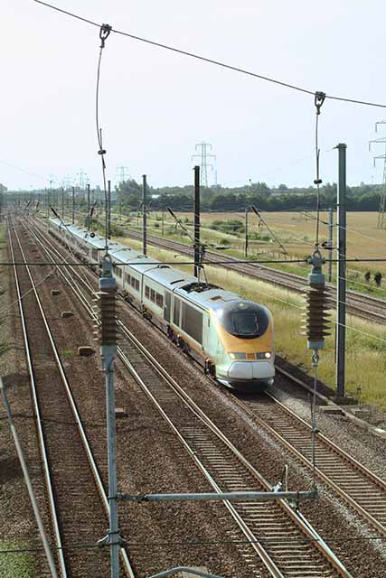
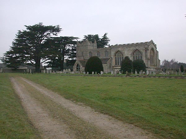
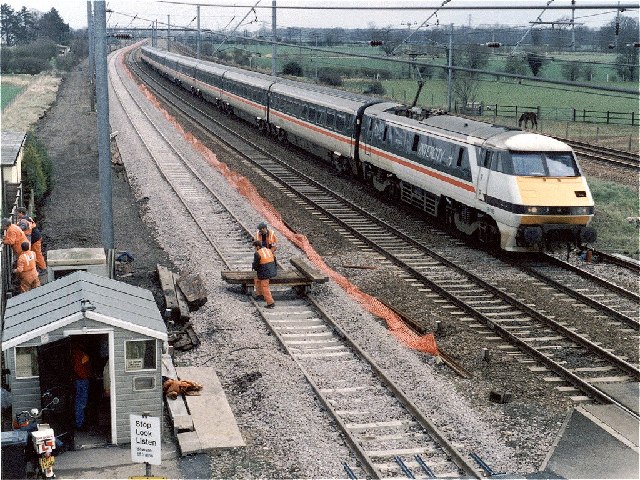
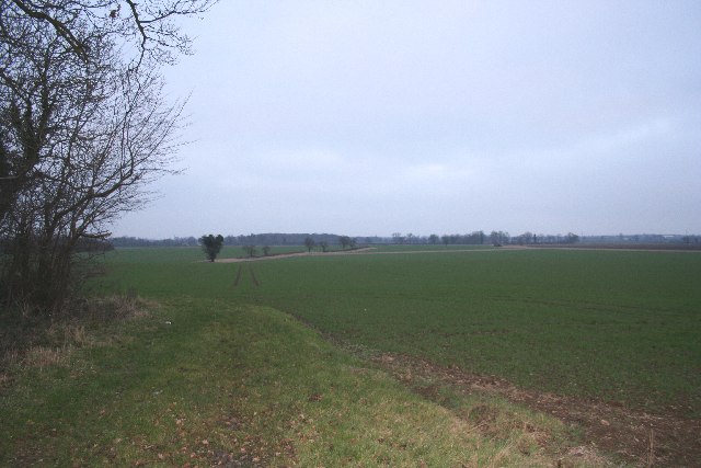
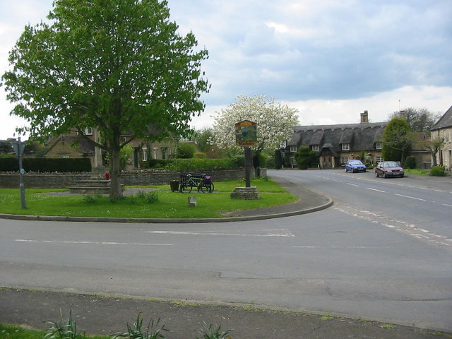
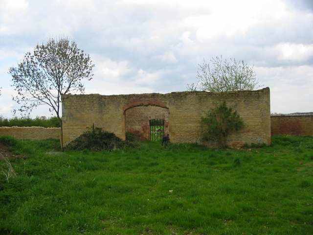
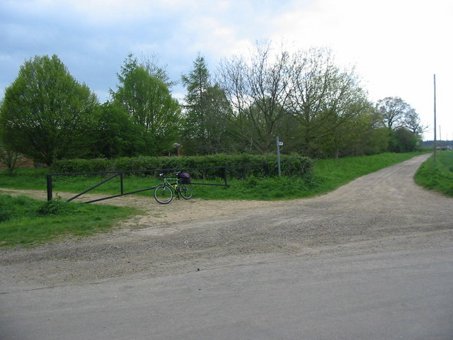
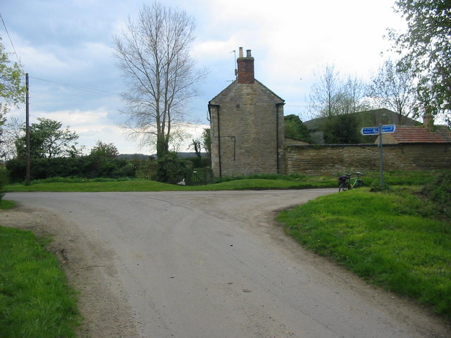
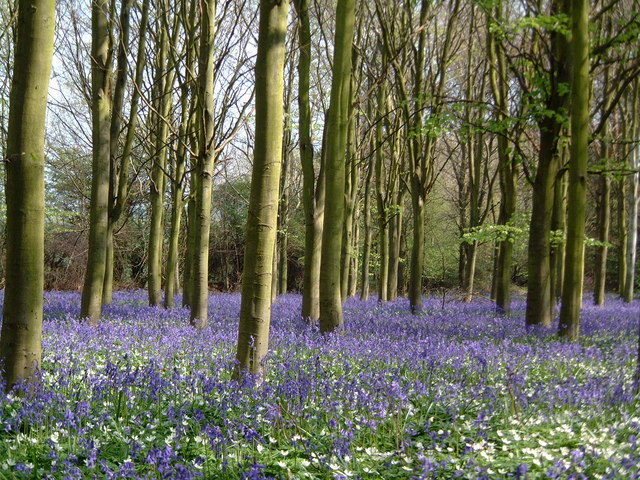
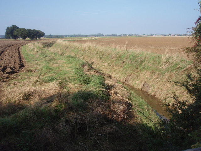
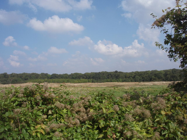
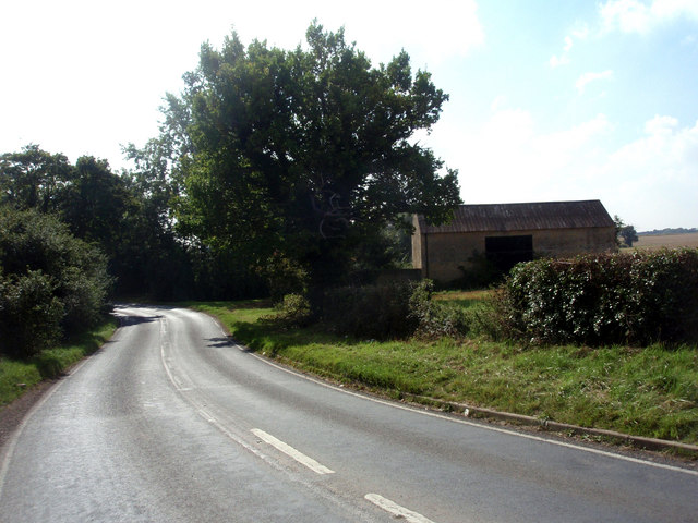
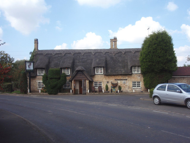
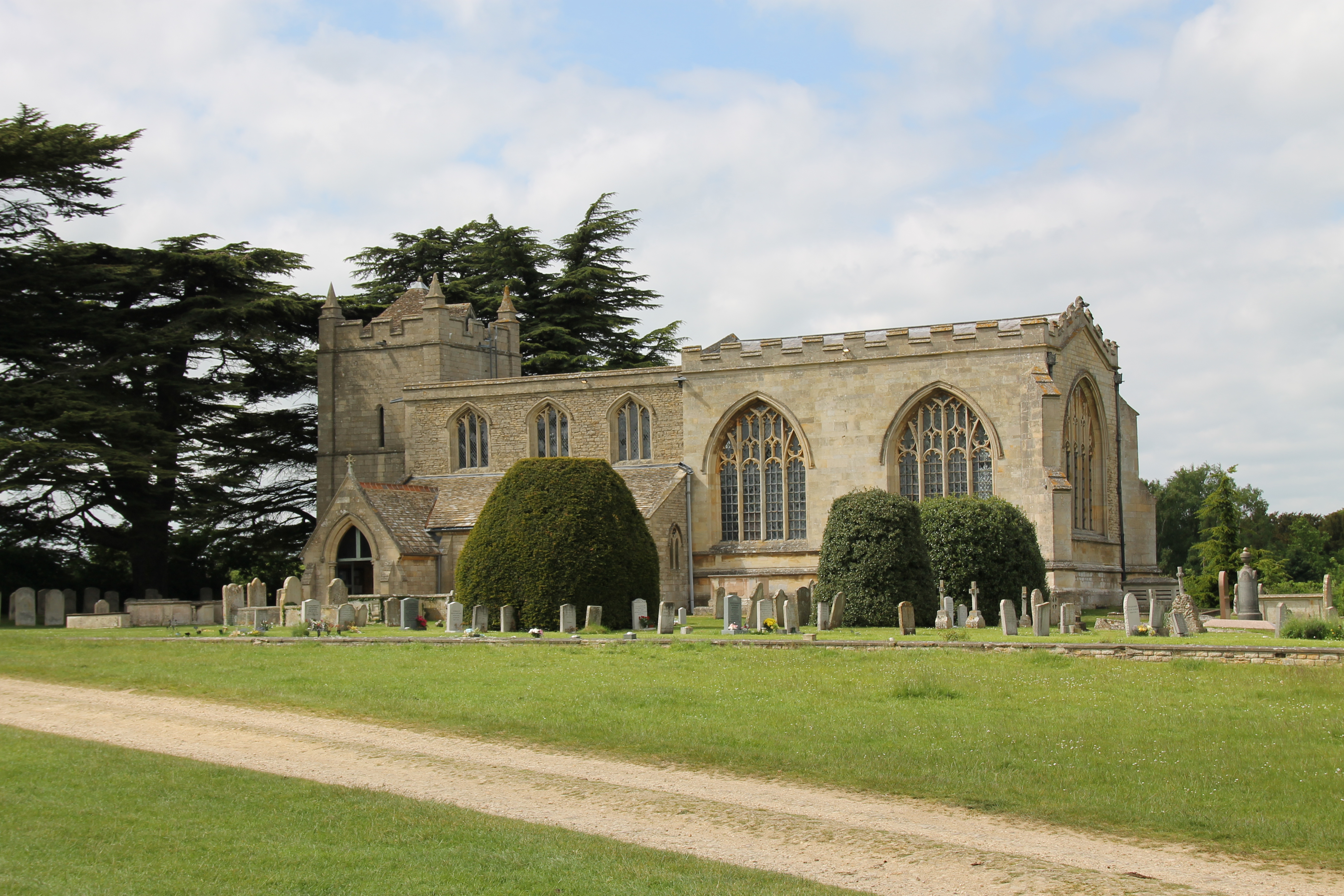
Soke of Peterborough Images
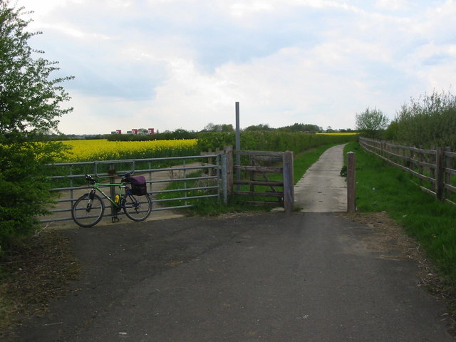
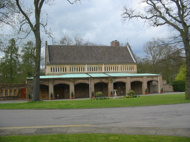
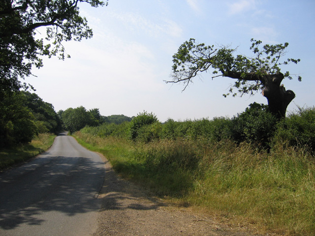
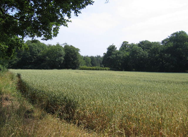
Images are sourced within 2km of 52.614115/-0.31775819 or Grid Reference TF1303. Thanks to Geograph Open Source API. All images are credited.

Soke of Peterborough is located at Grid Ref: TF1303 (Lat: 52.614115, Lng: -0.31775819)
Division: Soke of Peterborough
Unitary Authority: Peterborough
Police Authority: Cambridgeshire
What 3 Words
///fats.stem.along. Near Marholm, Cambridgeshire
Nearby Locations
Related Wikis

Woodcroft Castle
Woodcroft Castle is a moated medieval castle in the parish of Etton, Cambridgeshire, England. == History == Woodcroft Castle was built at the end of the...
Marholm
Marholm is a village and civil parish in the Peterborough district, in the ceremonial county of Cambridgeshire, England. West of Peterborough and 1 mile...

Werrington Dive Under
Werrington Dive Under (also known as the Werrington Grade Separation) is a replacement dual track grade separated railway junction at Werrington Junction...

Helpston railway station
Helpston railway station was a station in Helpston, Cambridgeshire, on the Midland Railway's Syston and Peterborough Railway. It was closed in 1966. The...
Nearby Amenities
Located within 500m of 52.614115,-0.31775819Have you been to Soke of Peterborough?
Leave your review of Soke of Peterborough below (or comments, questions and feedback).