North Field

Downs, Moorland in Lincolnshire South Kesteven

England

North Field

River scene, Market Deeping, Lincs Landscaped gardens beside a branch of the River Welland; view SE from the A16 bridge.
River scene, Market Deeping, Lincs Credit: Rodney Burton

The requested URL returned error: 429 Too Many Requests

If you have any feedback on the listing, please let us know in the comments section below.
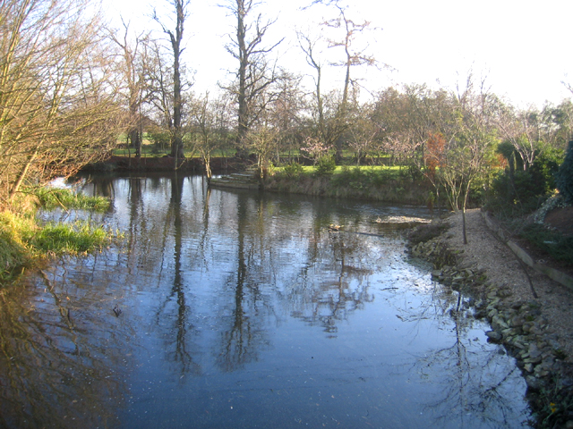
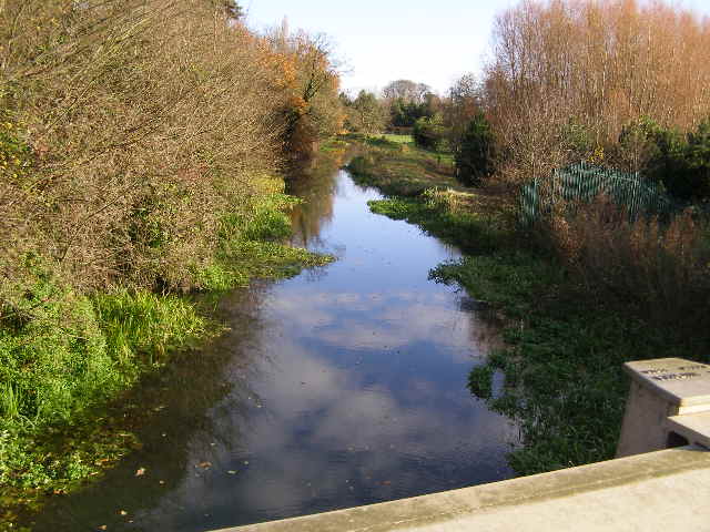
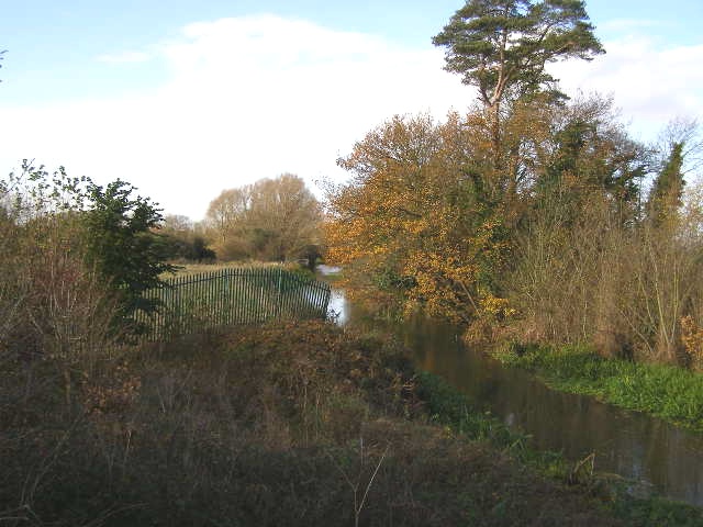
North Field Images

Images are sourced within 2km of 52.689422/-0.32162696 or Grid Reference TF1311. Thanks to Geograph Open Source API. All images are credited.

River scene, Market Deeping, Lincs Landscaped gardens beside a branch of the River Welland; view SE from the A16 bridge.
River scene, Market Deeping, Lincs
Landscaped gardens beside a branch of the River Welland; view SE from the A16 bridge.
River Welland from Market Deeping bridge This view is from the parapet of the stone bridge built in 1842, looking east. The left bank is the back of the properties on the south side of the Market Place, and beyond.
River Welland from Market Deeping bridge
This view is from the parapet of the stone bridge built in 1842, looking east. The left bank is the back of the properties on the south side of the Market Place, and beyond.
Market Deeping town centre road junction Both the A15 and A16 trunk roads used to thunder through here before the 4 mile western bypass was built and opened in 1998 at a cost of £7M. This view is now the B1524; it links the south and north access points of the bypass with the town centre. The B1525 (west to east routes) used to be part of the A16, prior to the bypass opening.
Market Deeping town centre road junction
Both the A15 and A16 trunk roads used to thunder through here before the 4 mile western bypass was built and opened in 1998 at a cost of £7M. This view is now the B1524; it links the south and north access points of the bypass with the town centre. The B1525 (west to east routes) used to be part of the A16, prior to the bypass opening.
Market Deeping bridge This view of the bridge is from the footpath which meanders alongside the south riverbank of the Welland, or one of the tributaries as far as Maxey mill.
Market Deeping bridge
This view of the bridge is from the footpath which meanders alongside the south riverbank of the Welland, or one of the tributaries as far as Maxey mill.
A granary barn close to the Market Place This barn, with many openings to provide ventilation, was perhaps a store house for grain in the days of travel by stage coaches.
A granary barn close to the Market Place
This barn, with many openings to provide ventilation, was perhaps a store house for grain in the days of travel by stage coaches.
River Welland from the A15 bridge This view is looking east from the modern bridge over the River Welland close to the roundabout where the A15 and A16 intersect: Market Deeping bypass.
River Welland from the A15 bridge
This view is looking east from the modern bridge over the River Welland close to the roundabout where the A15 and A16 intersect: Market Deeping bypass.
River Welland from A15 bridge The presently sluggish River Welland as seen from the A15 roadbridge, looking west.
River Welland from A15 bridge
The presently sluggish River Welland as seen from the A15 roadbridge, looking west.
The Market Place, Market Deeping
Market Deeping - The Bull This arch would have led through to a coaching and stable yard allowing the coaches travelling between Peterborough and Lincoln to be serviced.
Market Deeping - The Bull
This arch would have led through to a coaching and stable yard allowing the coaches travelling between Peterborough and Lincoln to be serviced.
Market Deeping - The Deeping Stage The other coaching inn besides The Bull. Here the arch to the stable yard has been closed off and converted to amenities for guests.
Market Deeping - The Deeping Stage
The other coaching inn besides The Bull. Here the arch to the stable yard has been closed off and converted to amenities for guests.
Market Deeping - The Bull This is the older of the two coaching inns in the Market Place, dating back to the 16th century. The presence of two coaching inns testifies to the importance of this town as a stage on the route from Peterborough to Lincoln. It is just the right sort of distance from Peterborough for the first change of horses going north.
Market Deeping - The Bull
This is the older of the two coaching inns in the Market Place, dating back to the 16th century. The presence of two coaching inns testifies to the importance of this town as a stage on the route from Peterborough to Lincoln. It is just the right sort of distance from Peterborough for the first change of horses going north.
Market Deeping - The Coach House Accommodation for the old coaches which has now been converted into a riverside pub.
Market Deeping - The Coach House
Accommodation for the old coaches which has now been converted into a riverside pub.
Market Deeping Bridge An attractive 3-arch stone bridge across the River Welland
Market Deeping Bridge
An attractive 3-arch stone bridge across the River Welland
Caudle House Handsome Georgian house of 1790 on High Street in Market Deeping, now a restaurant and B&B <span class="nowrap"><a title="http://www.caudlehousethediningroom.co.uk/" rel="nofollow ugc noopener" href="http://www.caudlehousethediningroom.co.uk/">Link</a><img style="margin-left:2px;" alt="External link" title="External link - shift click to open in new window" src="https://s1.geograph.org.uk/img/external.png" width="10" height="10"/></span>
Caudle House
Handsome Georgian house of 1790 on High Street in Market Deeping, now a restaurant and B&B LinkExternal link
The Laurels Large Victorian neo-Elizabethan house of 1875, formerly The Georgians restaurant, becoming The Laurels rest home in 1985
The Laurels
Large Victorian neo-Elizabethan house of 1875, formerly The Georgians restaurant, becoming The Laurels rest home in 1985
Georgian House Substantial early 18th century house in Market Deeping Market Place described by Pevsner as "the best house in the place" in the Stamford Georgian style
Georgian House
Substantial early 18th century house in Market Deeping Market Place described by Pevsner as "the best house in the place" in the Stamford Georgian style
The New Inn Formerly The New Inn with a datestone of 1802, now re-named the Deeping Stage
The New Inn
Formerly The New Inn with a datestone of 1802, now re-named the Deeping Stage
High Street Cottages 19th century cottages on Market Deeping High Street
High Street Cottages
19th century cottages on Market Deeping High Street
Show me another place!

North Field is located at Grid Ref: TF1311 (Lat: 52.689422, Lng: -0.32162696)

Administrative County: Lincolnshire

District: South Kesteven

Police Authority: Lincolnshire

What 3 Words

///plugs.employers.script. Near Langtoft, Lincolnshire

Nearby Locations

North Field

Related Wikis

Deeping Rangers F.C.

Deeping Rangers Football Club is a football club based in Market Deeping, Lincolnshire, England. They were established in 1964 and originally played at...

St Guthlac's Church, Market Deeping

Saint Guthlac's Church, Market Deeping is a parish church of the Church of England in Market Deeping, Lincolnshire, England. == Background == The largely...

Market Deeping

Market Deeping is a market town and civil parish in the South Kesteven district of Lincolnshire, England, on the north bank of the River Welland and the...

Market Deeping Town Hall

Market Deeping Town Hall is a municipal structure in the Market Place, Market Deeping, Lincolnshire, England. The structure, which is the meeting place...

Nearby Amenities

Located within 500m of 52.689422,-0.32162696
Crossing
Bicycle: dismount
Crossing: unmarked
Crossing Markings: no
Fixme: check
Source: seen on journey
Lat/Long: 52.6893766/-0.3289625
Crossing
Crossing: unmarked
Crossing Island: no
Crossing Markings: no
Tactile Paving: no
Lat/Long: 52.6873628/-0.3269898
Crossing
Bicycle: yes
Crossing: unmarked
Crossing Island: no
Crossing Markings: no
Kerb: lowered
Tactile Paving: yes
Lat/Long: 52.6871923/-0.3262036
Crossing
Bicycle: yes
Crossing: unmarked
Crossing Island: no
Crossing Markings: no
Kerb: lowered
Tactile Paving: yes
Lat/Long: 52.6871038/-0.3261279
Crossing
Bicycle: yes
Crossing: unmarked
Crossing Markings: no
Kerb: lowered
Lat/Long: 52.6891841/-0.3284892
Crossing
Bicycle: dismount
Crossing: unmarked
Crossing Island: no
Crossing Markings: no
Kerb: lowered
Tactile Paving: yes
Lat/Long: 52.6867124/-0.3258537
Generator Method: photovoltaic
Generator Output Electricity: yes
Generator Solar Modules: 8
Generator Source: solar
Generator Type: solar_photovoltaic_panel
Location: roof
Power: generator
Lat/Long: 52.685685/-0.3176862
Crossing
Lat/Long: 52.6874057/-0.3161525
Crossing
Lat/Long: 52.68812/-0.3168294
Crossing
Lat/Long: 52.6889586/-0.3153581
Crossing
Lat/Long: 52.6883325/-0.314621
Crossing
Lat/Long: 52.6881068/-0.3164388
Crossing
Lat/Long: 52.6864312/-0.3179851
Crossing
Lat/Long: 52.685683/-0.3182607
Crossing
Crossing: unmarked
Crossing Markings: no
Lat/Long: 52.6870372/-0.3192454
Crossing
Crossing: unmarked
Crossing Markings: no
Lat/Long: 52.68704/-0.3183633
Crossing
Crossing: unmarked
Crossing Markings: no
Lat/Long: 52.6866553/-0.3179515
Crossing
Crossing: unmarked
Crossing Markings: no
Lat/Long: 52.6862868/-0.3176369
Crossing
Lat/Long: 52.6877863/-0.3199047
Crossing
Lat/Long: 52.688525/-0.3178695
Crossing
Lat/Long: 52.6873847/-0.315973
Crossing
Lat/Long: 52.6878403/-0.3164107
Power: pole
Lat/Long: 52.6894871/-0.3150179
Power: pole
Lat/Long: 52.6883489/-0.3181621
Power: pole
Lat/Long: 52.6891302/-0.3160223
Power: pole
Lat/Long: 52.6875756/-0.3203081
Street Lamp
Lat/Long: 52.6872206/-0.3273641
Street Lamp
Lat/Long: 52.6870554/-0.3274791
Street Lamp
Lat/Long: 52.6874067/-0.3269733
Street Lamp
Lat/Long: 52.6873065/-0.3266909
Street Lamp
Lat/Long: 52.6876852/-0.3271913
Crossing
Crossing: unmarked
Crossing Island: no
Crossing Markings: no
Tactile Paving: no
Lat/Long: 52.6873285/-0.3272334
Power: pole
Lat/Long: 52.686871/-0.3229053
Power: pole
Ref: 91ZWDB4
Lat/Long: 52.6861535/-0.3254681
Fuel
BP
Addr City: Langtoft
Addr Housename: Market Deeping Service Station
Addr Postcode: PE6 9LA
Addr Street: Peterborough Road
Brand: BP
Brand Wikidata: Q152057
Construction Amenity: fuel
Construction Shop: convenience
Opening Hours: 24/7
Operator: Motor Fuel Group
Operator Website: https://www.motorfuelgroup.com/locations/ps4024-market-deeping/
Operator Wikidata: Q107271358
Self Service: yes
Start Date: 2022-10-06
Website: https://map.bp.com/en-GB/GB/petrol-station/market-deeping/market-deeping-ps4024/1148052920
Lat/Long: 52.6874551/-0.3282228
Hopshackle Brewery
Addr City: Market Deeping
Addr Postcode: PE6 8LD
Addr Street: Blenheim Way
Addr Unit: Unit F, Bentley Business Park
Craft: brewery
Fhrs Authority: South Kesteven
Fhrs Id: 238601
Fhrs Local Authority Id: 11226
Lat/Long: 52.6881124/-0.3173509
Budgens
Addr City: Market Deeping
Addr Housename: Market Deeping Service Station
Addr Postcode: PE6 9LA
Addr Street: Peterborough Road
Branch: Market Deeping
Brand: Budgens
Brand Wikidata: Q4985016
Fhrs Authority: South Kesteven
Fhrs Id: 1543963
Fhrs Local Authority Id: 90010
Opening Hours: 24/7
Operator: Motor Fuel Group
Operator Website: https://www.motorfuelgroup.com/locations/ps4024-market-deeping/
Operator Wikidata: Q107271358
Shop: convenience
Start Date: 2022-10-06
Website: https://www.budgens.co.uk/our-stores/market-deeping
Lat/Long: 52.6875029/-0.3281603
Fast Food
Greggs
Addr City: Market Deeping
Addr Housename: Market Deeping Service Station
Addr Postcode: PE6 9LA
Addr Street: Peterborough Road
Branch: Market Deeping
Brand: Greggs
Brand Wikidata: Q3403981
Contact Website: https://www.greggs.co.uk/shop-finder?shop-code=6113
Cuisine: sandwich;bakery
Drive Through: no
Fhrs Authority: South Kesteven
Fhrs Id: 1543964
Fhrs Local Authority Id: 90011
Shop: bakery
Start Date: 2022-10-06
Takeaway: yes
Lat/Long: 52.6875595/-0.3280981
Crossing
Crossing: marked
Crossing Markings: yes
Lat/Long: 52.687553/-0.327771
Atm
Drive Through: no
Lat/Long: 52.6873871/-0.3281743
Street Lamp
Lat/Long: 52.6879287/-0.3278017
Street Lamp
Lat/Long: 52.6878539/-0.3280601
Street Lamp
Lat/Long: 52.6877298/-0.3283277
Street Lamp
Lat/Long: 52.6872127/-0.3276619
Street Lamp
Lat/Long: 52.6874709/-0.3275325
Street Lamp
Lat/Long: 52.6875795/-0.327703
Waste Basket
Lat/Long: 52.6870835/-0.3277549
Waste Basket
Lat/Long: 52.6875695/-0.3279227
Advertising: totem
Lit: yes
Lat/Long: 52.6870522/-0.3276848
Advertising: totem
Lit: yes
Lat/Long: 52.6878166/-0.3276532
Street Lamp
Lat/Long: 52.6872543/-0.3263536
Street Lamp
Lat/Long: 52.6879736/-0.3273839
Entrance: main
Lat/Long: 52.6875061/-0.3280362
Crossing
Lat/Long: 52.6861508/-0.3213378
Crossing
Lat/Long: 52.6869998/-0.322021
The data included in this document is from www.openstreetmap.org. The data is made available under ODbL.

Have you been to North Field?

Leave your review of North Field below (or comments, questions and feedback).