Anwick Fen
Downs, Moorland in Lincolnshire North Kesteven
England
Anwick Fen
Anwick Fen is a picturesque area located in the county of Lincolnshire, England. Situated between the towns of Sleaford and Grantham, it encompasses a diverse landscape of downs and moorland. The fen is known for its unique blend of natural beauty and historical significance.
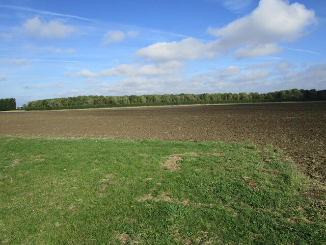
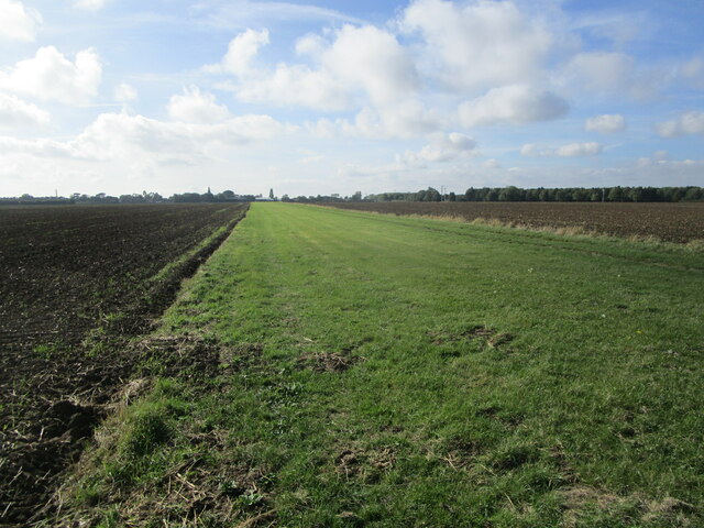
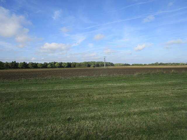
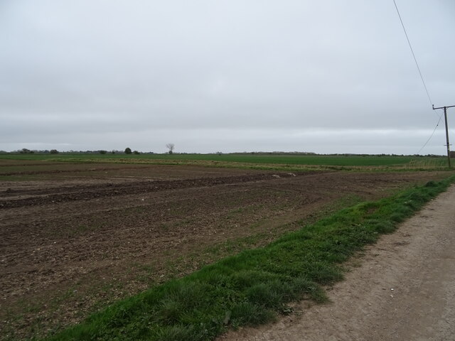
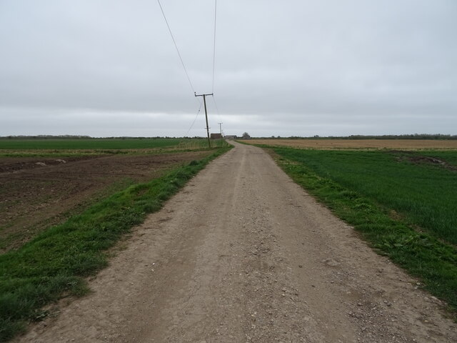
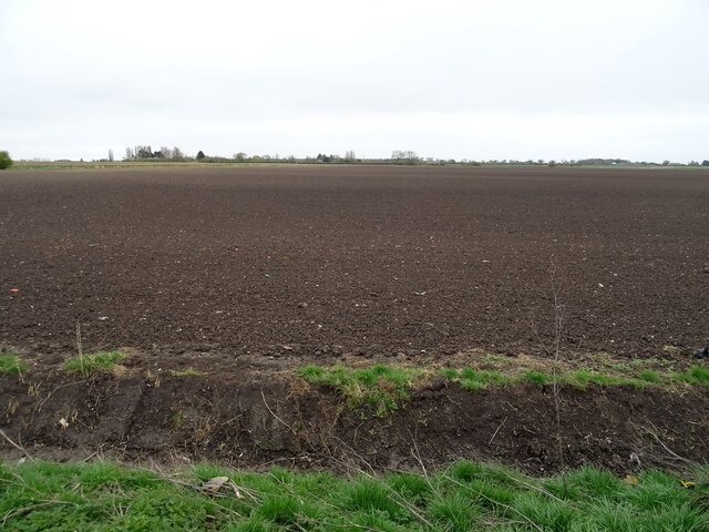
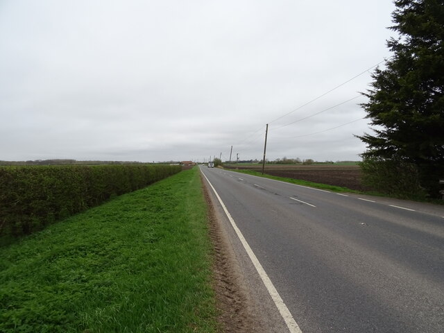
Covering an expansive area, Anwick Fen boasts rolling hills, vast fields, and enchanting woodlands. The downs provide stunning vistas, with their gentle slopes and patches of colorful wildflowers. Moorland areas are characterized by their open expanses, heather-covered terrain, and scattered pools of water, creating a serene and tranquil atmosphere.
The fen is home to a rich variety of wildlife, making it a haven for nature enthusiasts and birdwatchers. Visitors may spot a range of bird species, including the elusive marsh harrier and the magnificent red kite. The area also supports diverse plant life, with species such as orchids and cotton grass found throughout.
Steeped in history, Anwick Fen is dotted with remnants of its past. Ancient burial mounds and archaeological sites offer glimpses into the area's prehistoric origins. Additionally, the fen is known for its association with the English Civil War, with nearby villages being strategic locations during the conflict.
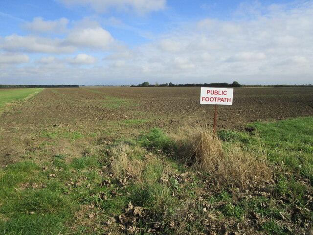
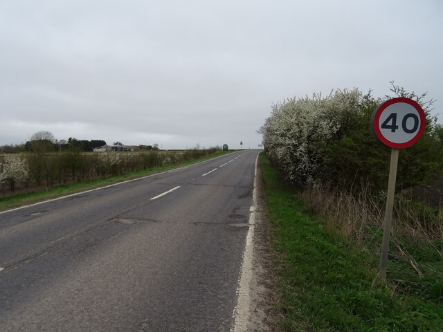
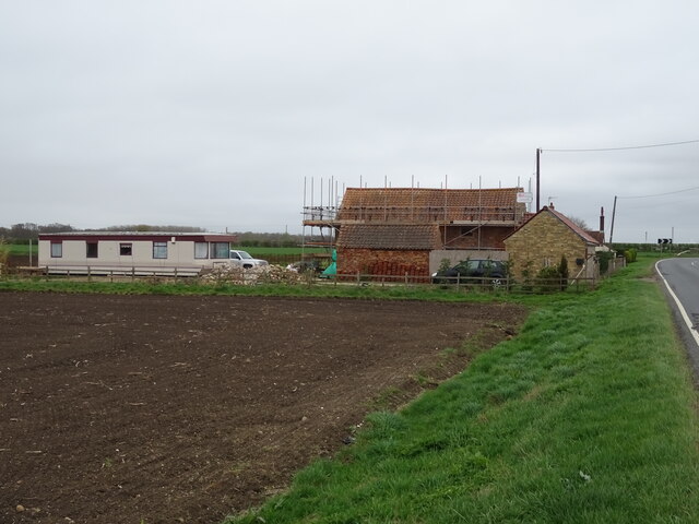
Accessible via well-maintained footpaths and trails, Anwick Fen offers opportunities for hiking, nature walks, and peaceful picnics. The surrounding villages provide amenities such as quaint pubs and cozy accommodations, making it a wonderful destination for a countryside getaway.
Overall, Anwick Fen is a captivating and historically significant landscape, offering visitors a chance to immerse themselves in its natural beauty and explore its rich heritage.
If you have any feedback on the listing, please let us know in the comments section below.
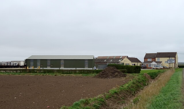
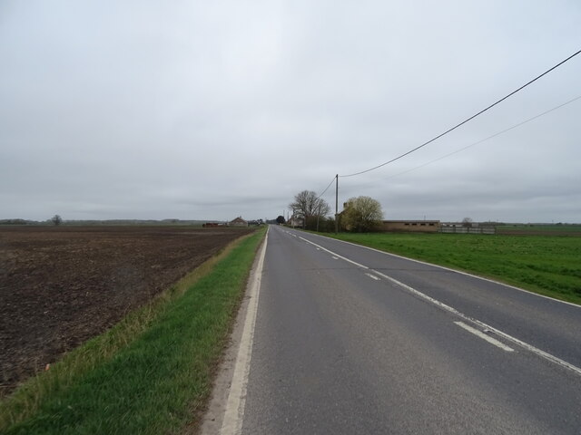
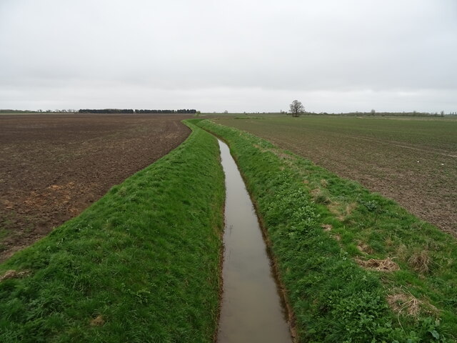
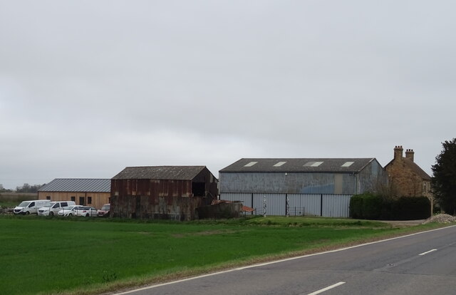
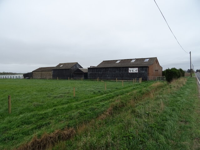
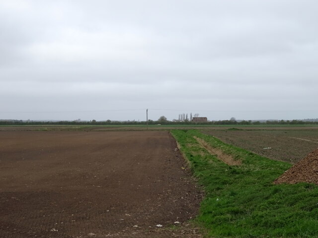
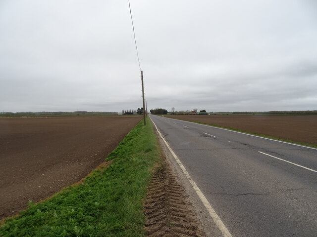
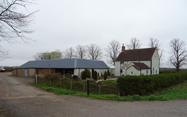
Anwick Fen Images
Images are sourced within 2km of 53.042999/-0.30840222 or Grid Reference TF1350. Thanks to Geograph Open Source API. All images are credited.
Anwick Fen is located at Grid Ref: TF1350 (Lat: 53.042999, Lng: -0.30840222)
Administrative County: Lincolnshire
District: North Kesteven
Police Authority: Lincolnshire
What 3 Words
///pops.jousting.switch. Near Billinghay, Lincolnshire
Nearby Locations
Related Wikis

Anwick
Anwick is a small village and civil parish in the North Kesteven district of Lincolnshire, England. The population of the civil parish at the 2011 census...

North Kyme
North Kyme is a village and civil parish in the North Kesteven district of Lincolnshire, England. The civil parish had a population of 431 at the 2011...

RAF Anwick
Royal Air Force Anwick or more simply RAF Anwick is a former Second World War faux Royal Air Force decoy station near the village of Anwick, 21.3 mi (34...

Haverholme
Haverholme is a hamlet and site of Haverholme Priory in the North Kesteven district of Lincolnshire, England. It is situated about 4 miles (6 km) north...
Nearby Amenities
Located within 500m of 53.042999,-0.30840222Have you been to Anwick Fen?
Leave your review of Anwick Fen below (or comments, questions and feedback).