Dyke Fen
Downs, Moorland in Lincolnshire South Kesteven
England
Dyke Fen

Dyke Fen is a natural wetland located in the county of Lincolnshire, England. Spanning an area of approximately 1,000 acres, it is known for its diverse ecological characteristics, combining elements of downs, moorland, and fen habitats. The fen is situated near the village of Dyke, hence its name, and is part of the larger Lincolnshire Fens region.
The terrain of Dyke Fen is predominantly flat, with a network of dykes and drains running through the area, reflecting its historical use for agricultural purposes. It is characterized by its rich peat soil, which supports a wide range of plant and animal species. The fen is home to various plant communities, including reed beds, sedges, and grasses, which thrive in the damp and waterlogged conditions.
The diverse flora and fauna of Dyke Fen attract numerous bird species, making it a popular destination for birdwatching enthusiasts. Species such as lapwings, reed buntings, and skylarks can be spotted nesting within the fen. Additionally, the wetland provides crucial habitat for several amphibians, including common frogs and smooth newts.
Dyke Fen is managed by conservation organizations and local authorities, who work to preserve its unique ecological features. The area is accessible to the public, with footpaths and observation points allowing visitors to explore and appreciate the natural beauty of the fen.
If you have any feedback on the listing, please let us know in the comments section below.
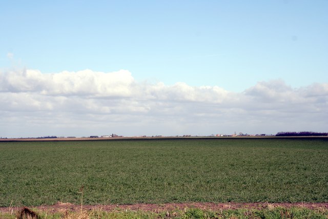
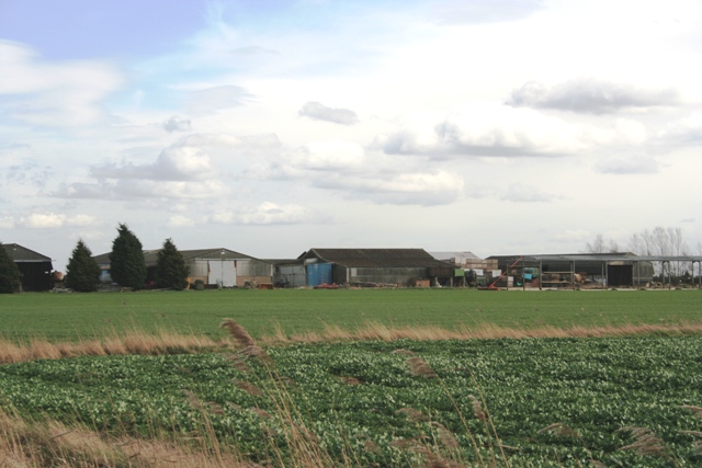
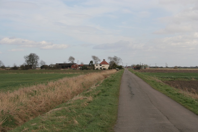
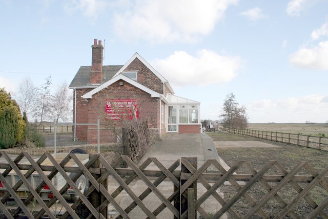
Dyke Fen Images
Images are sourced within 2km of 52.788665/-0.32001966 or Grid Reference TF1322. Thanks to Geograph Open Source API. All images are credited.


Dyke Fen is located at Grid Ref: TF1322 (Lat: 52.788665, Lng: -0.32001966)
Administrative County: Lincolnshire
District: South Kesteven
Police Authority: Lincolnshire
What 3 Words
///feared.piglets.audible. Near Bourne, Lincolnshire
Nearby Locations
Related Wikis

Twenty, Lincolnshire
Twenty is a village in the South Kesteven district of Lincolnshire, England. It is situated approximately 3 miles (5 km) east of Bourne, and 5 miles (8...

Dyke, Lincolnshire
Dyke is a village in the South Kesteven district of Lincolnshire, England. It is situated less than 1 mile (1.6 km) east from the A15 road, and approximately...
Twenty railway station
Twenty railway station served the village of Twenty in Lincolnshire, England. It was on the route of the Spalding and Bourne Railway (opened 1866), later...

Morton Road railway station
Morton Road railway station was a station serving the village of Morton, Lincolnshire on the Great Northern Railway Bourne and Sleaford railway. It opened...
Nearby Amenities
Located within 500m of 52.788665,-0.32001966Have you been to Dyke Fen?
Leave your review of Dyke Fen below (or comments, questions and feedback).