West Field
Downs, Moorland in Yorkshire
England
West Field
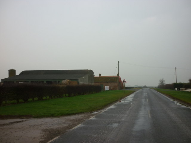
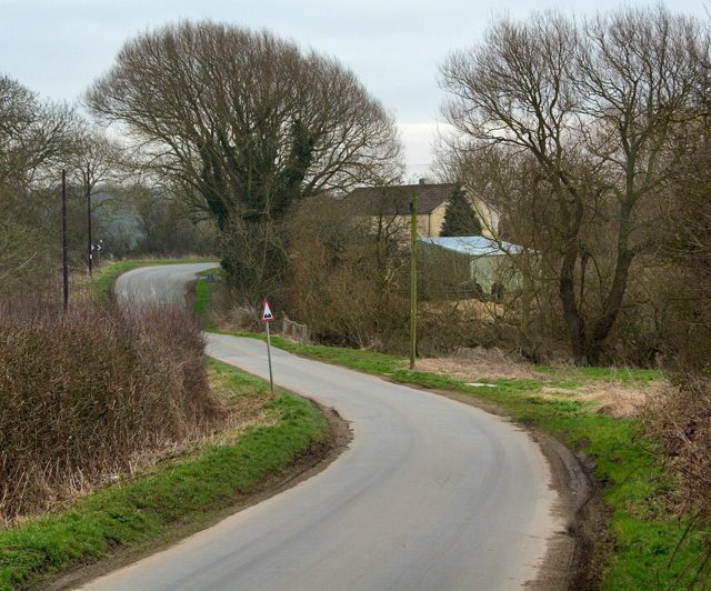
West Field is a region located in the county of Yorkshire, England, known for its picturesque scenery and diverse natural landscapes. It encompasses both Downs and Moorland, providing a unique blend of rolling hills and expansive open spaces.
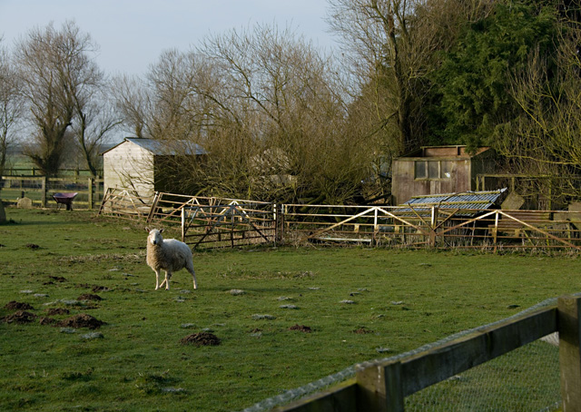
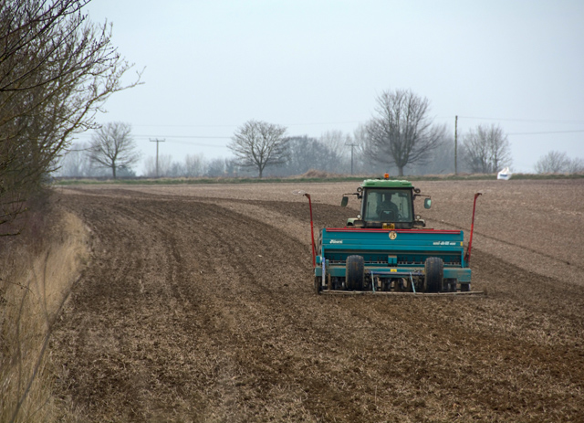
The Downs of West Field are characterized by their gently sloping hills, covered in lush green grasses and dotted with sheep grazing peacefully. The area offers stunning panoramic views, with the horizon stretching out before the observer, often reaching as far as the eye can see. This part of West Field is a popular destination for outdoor enthusiasts, offering ample opportunities for walking, hiking, and picnicking.
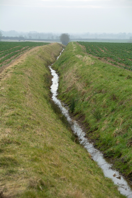
On the other hand, the Moorland of West Field presents a contrast to the Downs. This rugged and wild terrain is dominated by heather-covered hills, scattered with rocky outcrops and glistening streams. The Moorland is home to an array of wildlife, including birds of prey, grouse, and rare plants, making it a haven for nature lovers and birdwatchers.
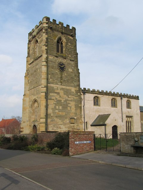
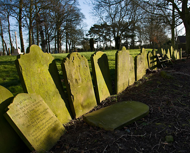
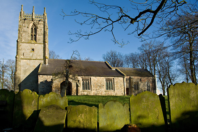
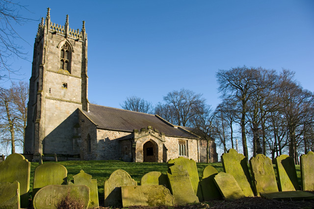
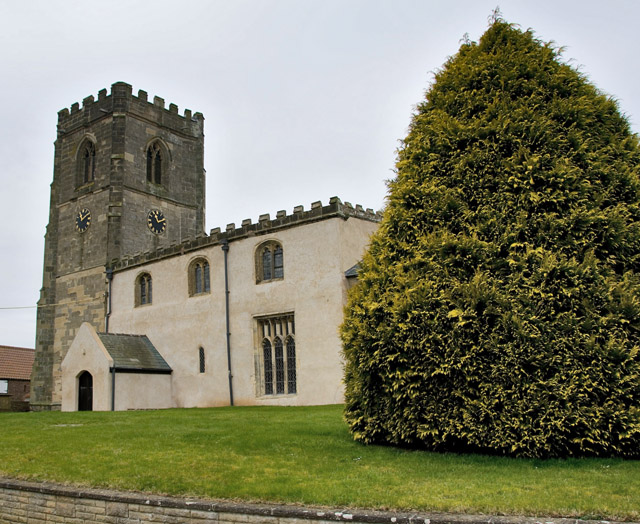
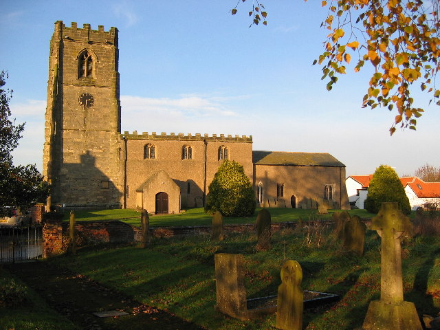
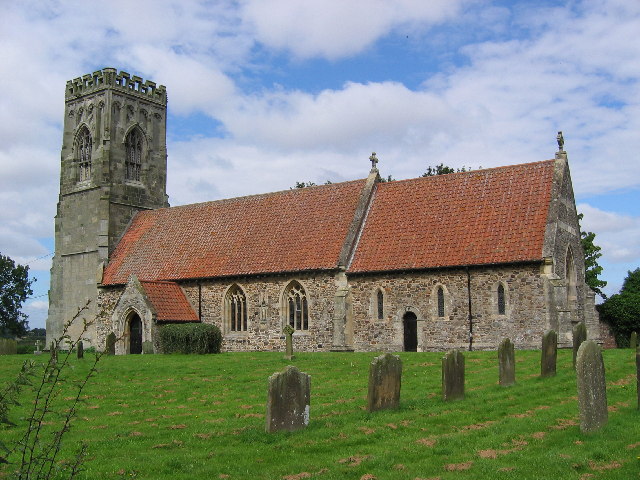
West Field, Yorkshire, is also known for its rich historical and cultural heritage. The region boasts several ancient landmarks, such as burial mounds, standing stones, and medieval ruins, which provide glimpses into the area's past. Visitors can explore these historical sites and learn about the fascinating history of the region.
Overall, West Field offers a diverse and captivating natural landscape, blending the beauty of the Downs with the rugged charm of the Moorland. Whether it's for outdoor activities, wildlife spotting, or immersing in history, West Field, Yorkshire, provides an enchanting experience for all.
If you have any feedback on the listing, please let us know in the comments section below.
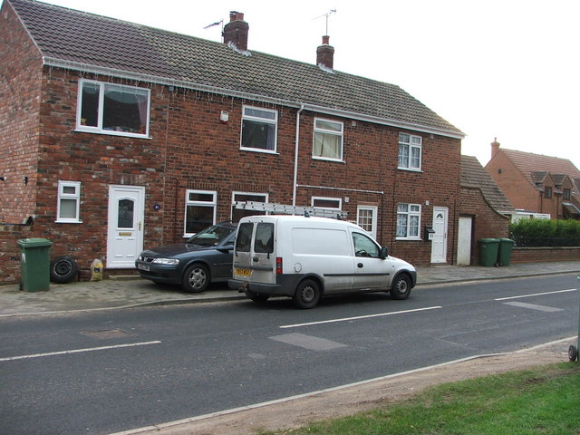
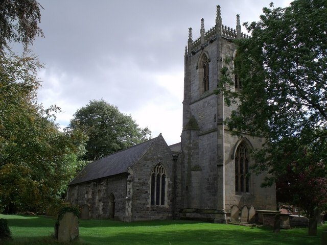
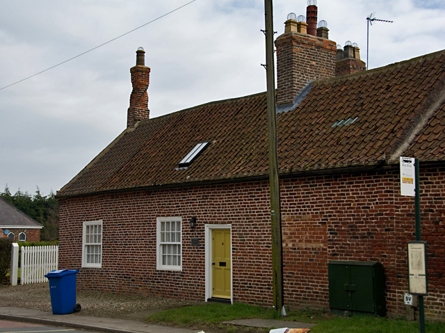
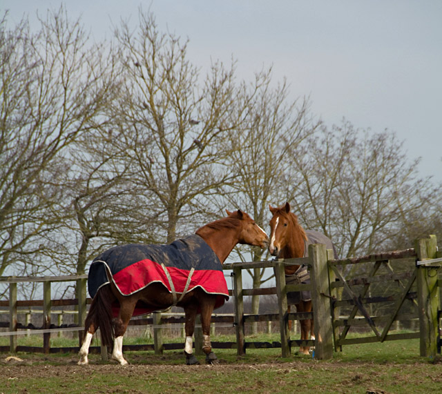
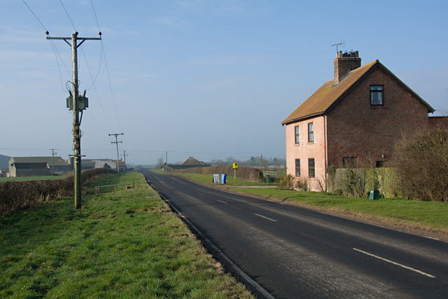
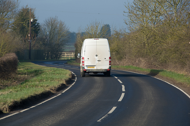
West Field Images
Images are sourced within 2km of 53.979933/-0.30781903 or Grid Reference TA1155. Thanks to Geograph Open Source API. All images are credited.
West Field is located at Grid Ref: TA1155 (Lat: 53.979933, Lng: -0.30781903)
Division: East Riding
Unitary Authority: East Riding of Yorkshire
Police Authority: Humberside
What 3 Words
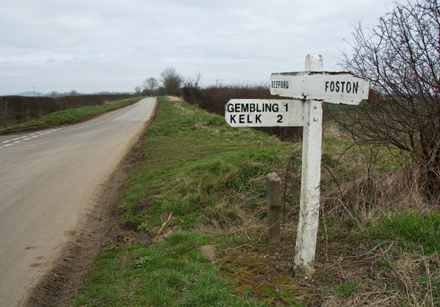
///proofs.trapdoor.offers. Near Beeford, East Yorkshire
Nearby Locations
Related Wikis
Foston on the Wolds
Foston on the Wolds is a village and civil parish in the East Riding of Yorkshire, England. It is situated approximately 8 miles (13 km) south-west of...

Gembling
Gembling is a hamlet and former civil parish, now in the parish of Foston, in the East Riding of Yorkshire, England. It is situated approximately 8 miles...

Beeford
Beeford is a village and civil parish in the East Riding of Yorkshire, England. It is situated at the junction of the A165 and the B1249, and approximately...

North Frodingham
North Frodingham is a village and civil parish in the East Riding of Yorkshire, England. It is situated approximately 5.5 miles (9 km) south-east of the...
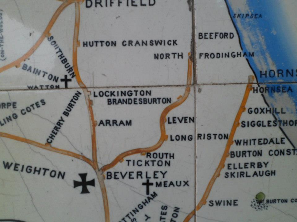
North Holderness Light Railway
The North Holderness Light Railway was a proposed light railway, which was to have been constructed between Beverley and North Frodingham, in the East...
Church End, East Riding of Yorkshire
Church End is a hamlet in the East Riding of Yorkshire, England. It is situated approximately 1 mile (1.6 km) west of the village of North Frodingham...

Great Kelk
Great Kelk is a village and former civil parish, now in the parish of Kelk, in the East Riding of Yorkshire, England. It is situated approximately 7.5...

RAF Lissett
Royal Air Force Lissett or more simply RAF Lissett is a former Royal Air Force station located 6.1 miles (9.8 km) south west of Bridlington, East Riding...
Nearby Amenities
Located within 500m of 53.979933,-0.30781903Have you been to West Field?
Leave your review of West Field below (or comments, questions and feedback).