Stanborough Park
Downs, Moorland in Hertfordshire Watford
England
Stanborough Park
Stanborough Park is a picturesque public park located in Welwyn Garden City, Hertfordshire, England. Covering an area of approximately 126 acres, the park is renowned for its stunning natural beauty, offering a combination of downs and moorland landscapes.
The park is divided into two main sections: Stanborough Park North and Stanborough Park South. Stanborough Park North is characterized by its wide-open spaces and gently rolling hills, known as downs. These downs provide visitors with ample space for recreational activities such as picnicking, kite flying, and frisbee. The downs are also home to an array of wildflowers, creating a vibrant and colorful atmosphere during the spring and summer months.
On the other hand, Stanborough Park South encompasses a vast expanse of moorland, featuring a scenic lake known as Stanborough Lakes. The lakes are a popular attraction for boating enthusiasts, offering opportunities for rowing, pedal boating, and canoeing. Fishing is also permitted in designated areas of the lakes, attracting both seasoned anglers and beginners alike.
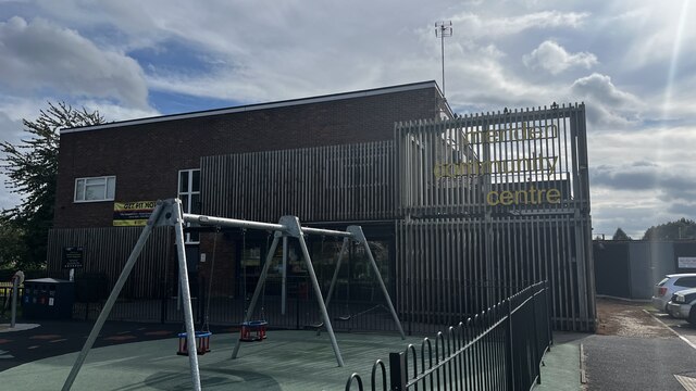
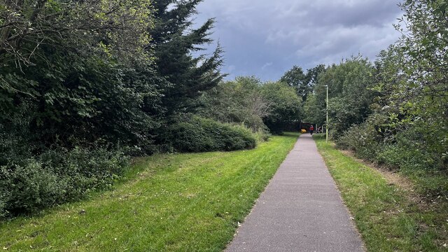
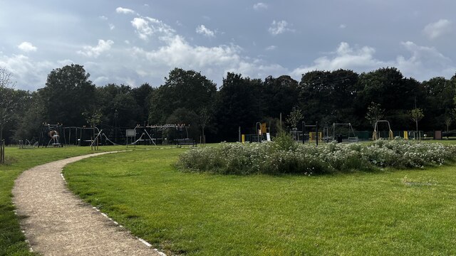
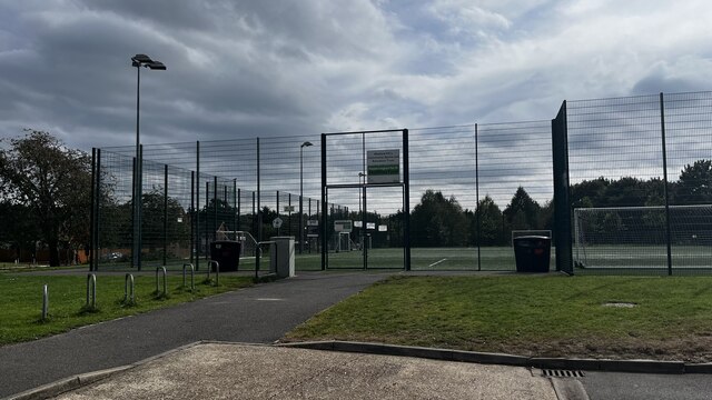
In addition to its natural beauty, Stanborough Park boasts excellent amenities for visitors. There are well-maintained walking and cycling paths throughout the park, providing opportunities for leisurely strolls and bike rides. The park also features a children's play area, a miniature railway, and a café where visitors can relax and enjoy refreshments.
Overall, Stanborough Park offers a tranquil and idyllic escape from the hustle and bustle of everyday life, making it a popular destination for nature lovers, families, and outdoor enthusiasts.
If you have any feedback on the listing, please let us know in the comments section below.
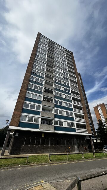
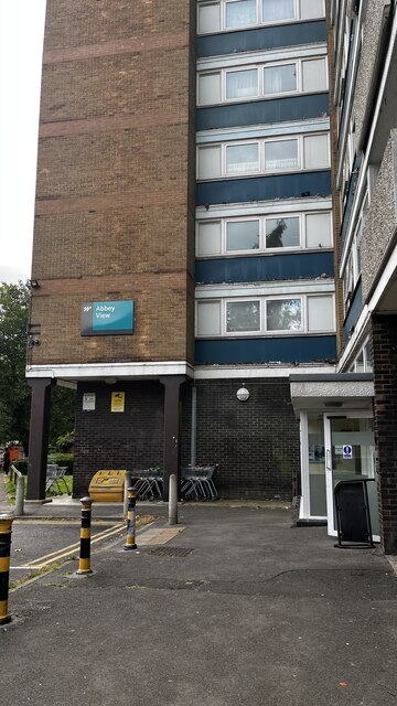
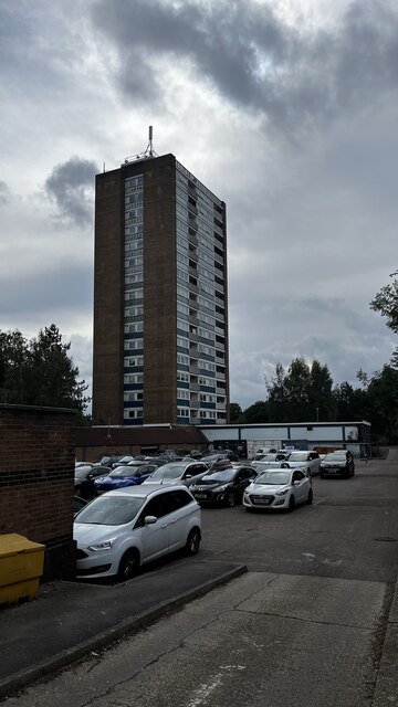
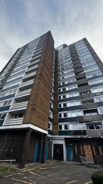
Stanborough Park Images
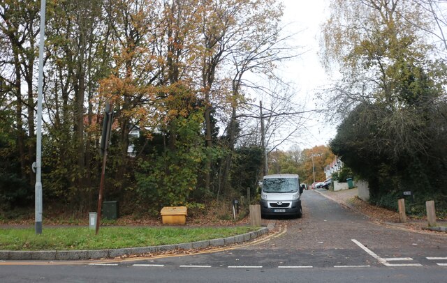
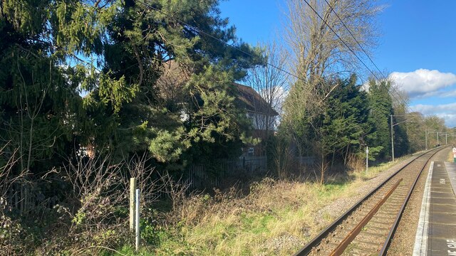
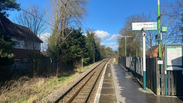
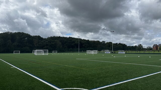
Images are sourced within 2km of 51.685705/-0.39480777 or Grid Reference TQ1199. Thanks to Geograph Open Source API. All images are credited.


Stanborough Park is located at Grid Ref: TQ1199 (Lat: 51.685705, Lng: -0.39480777)
Administrative County: Hertfordshire
District: Watford
Police Authority: Hertfordshire
What 3 Words
///acting.prompting.lame. Near Abbots Langley, Hertfordshire
Nearby Locations
Related Wikis

Stanborough School, Watford
Stanborough School is a coeducational independent day and boarding school in Watford, Hertfordshire, England. Situated in 40 acres of parkland in the village...

Stanborough Park Church
Stanborough Park Church is a Seventh-day Adventist church located in the grounds of Stanborough Park in Watford, Hertfordshire. == History == The foundation...

Garston, Hertfordshire
Garston is a suburban village in Hertfordshire, England. Garston is contiguous with Watford and now, despite retaining a local identity, is effectively...
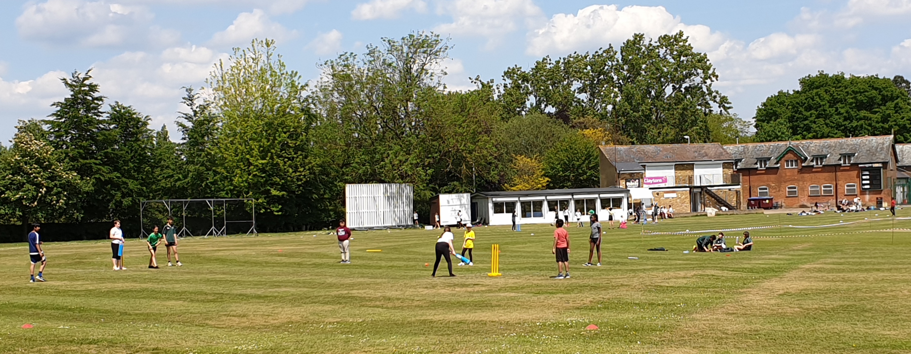
Watford Town Cricket Club Ground
Watford Town Cricket Club Ground, at Woodside Playing Fields, is a cricket ground on the northern outskirts of Watford, Hertfordshire. The first recorded...
Nearby Amenities
Located within 500m of 51.685705,-0.39480777Have you been to Stanborough Park?
Leave your review of Stanborough Park below (or comments, questions and feedback).