Burhill Park

Downs, Moorland in Surrey Elmbridge

England

Burhill Park

Seven Hills Road (B365) Looking south.
Seven Hills Road (B365) Credit: JThomas

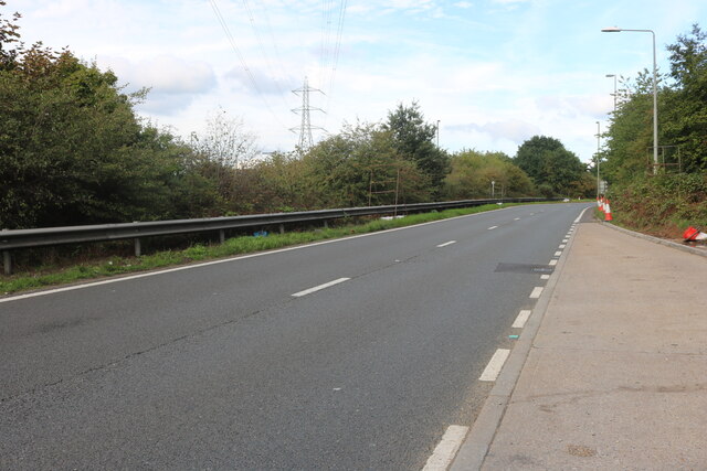
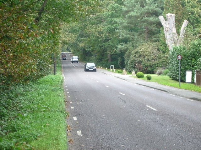
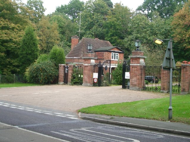
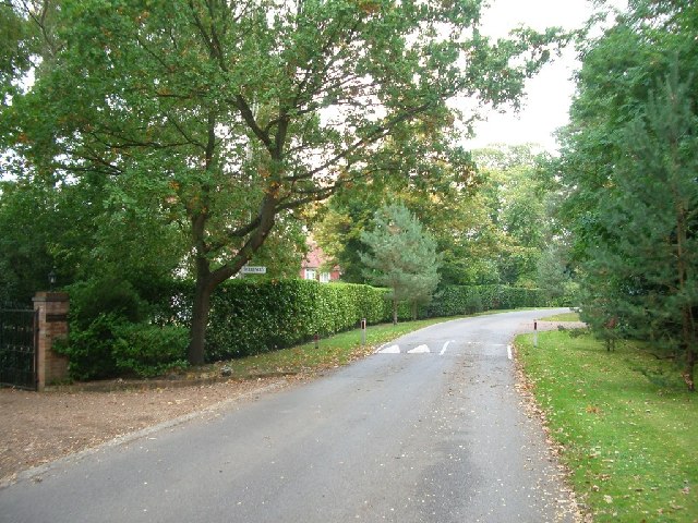
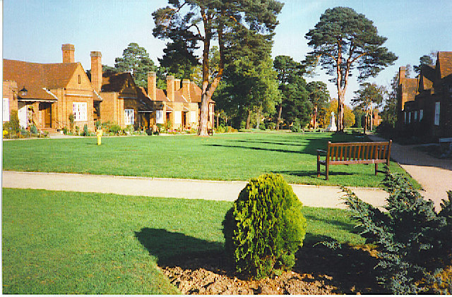
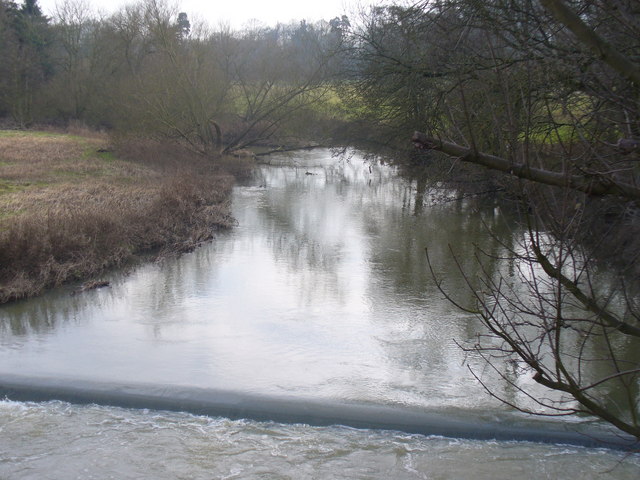
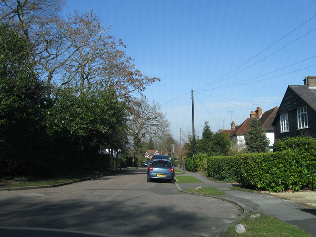
Burhill Park is a sprawling estate located in Surrey, England. This picturesque park spans over 400 acres and is known for its stunning natural beauty and diverse landscapes. It is divided into three distinct areas: Downs, Moorland, and Woodland.

The Downs section of Burhill Park is characterized by its rolling hills and expansive views. Visitors can take leisurely walks or engage in outdoor activities such as running or cycling. The area is rich in wildlife, with various species of birds and small mammals found here.

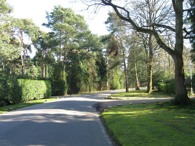
The Moorland area offers a unique landscape, with open heathland and scattered trees. It provides an ideal habitat for several rare plant species, including heather and gorse. The undulating terrain makes it a popular spot for hiking and nature enthusiasts.

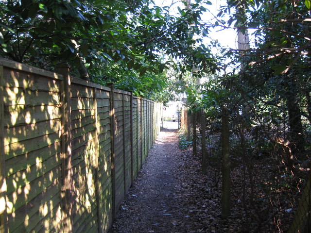
The Woodland section of Burhill Park is a tranquil oasis, with dense forests of oak, birch, and beech trees. Walking trails wind through the woods, providing a peaceful retreat for those seeking solace in nature. The area is also home to an abundance of wildlife, including deer, foxes, and woodland birds.

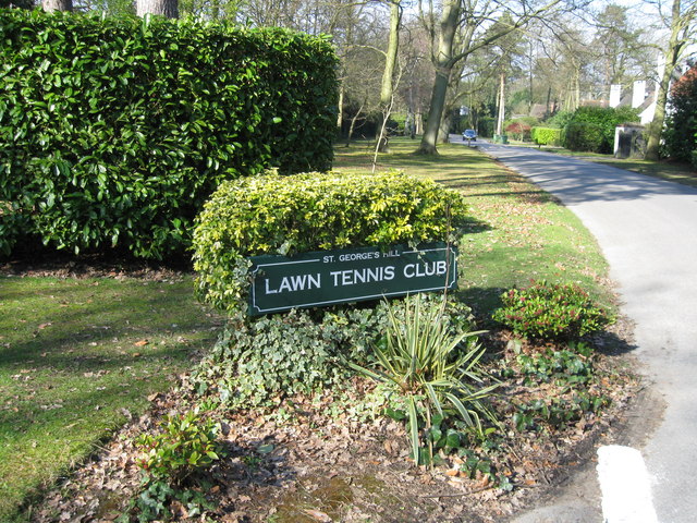
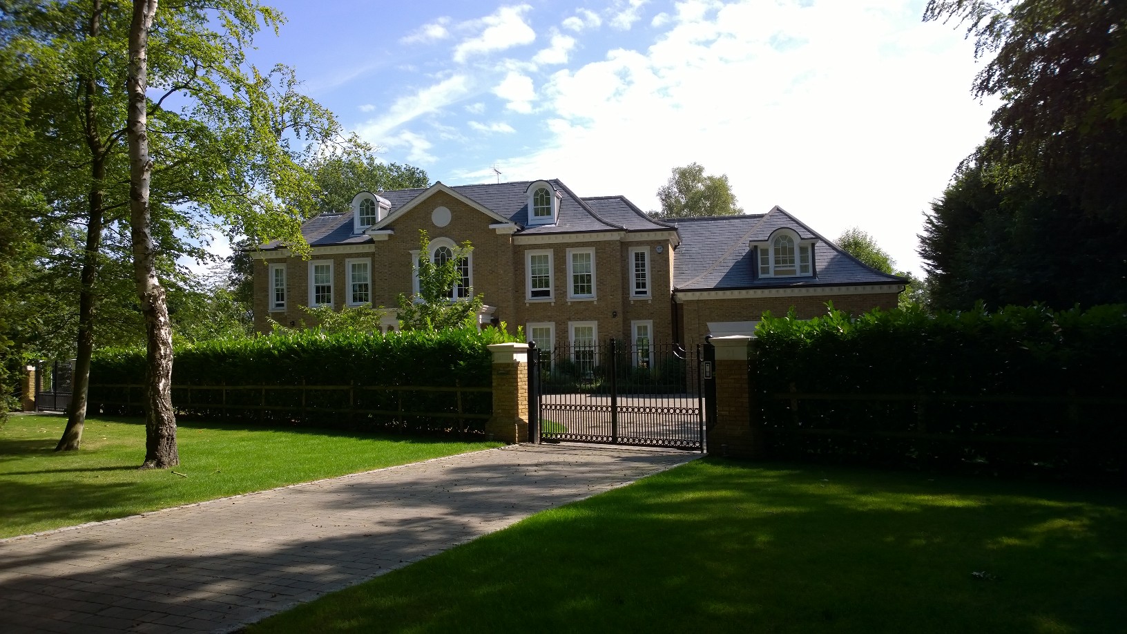
In addition to its natural beauty, Burhill Park boasts a range of recreational facilities. There is a golf course, which is renowned for its challenging layout and well-maintained fairways. The park also offers facilities for tennis, cricket, and football, providing opportunities for sports enthusiasts to indulge in their favorite activities.

Overall, Burhill Park is a haven for nature lovers and sports enthusiasts alike. Its diverse landscapes, rich wildlife, and recreational amenities make it a popular destination for locals and visitors seeking outdoor adventures and relaxation in the heart of Surrey.

If you have any feedback on the listing, please let us know in the comments section below.
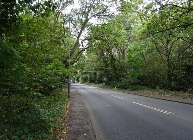
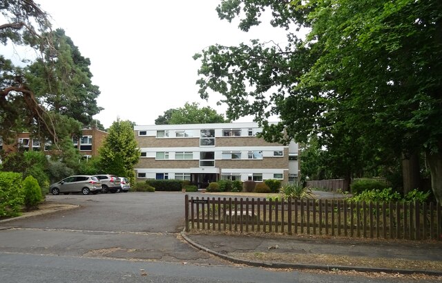
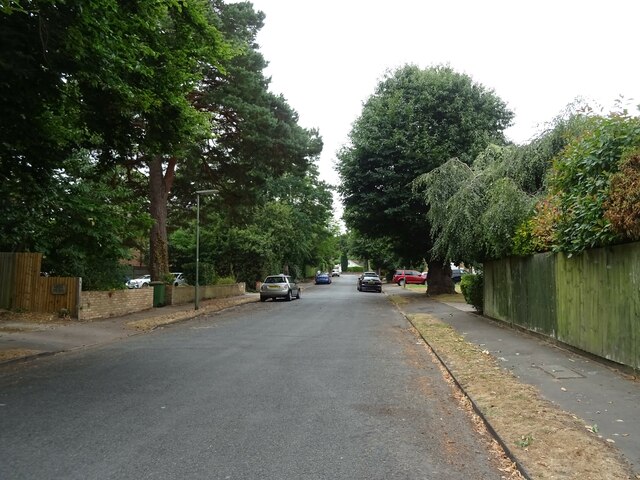
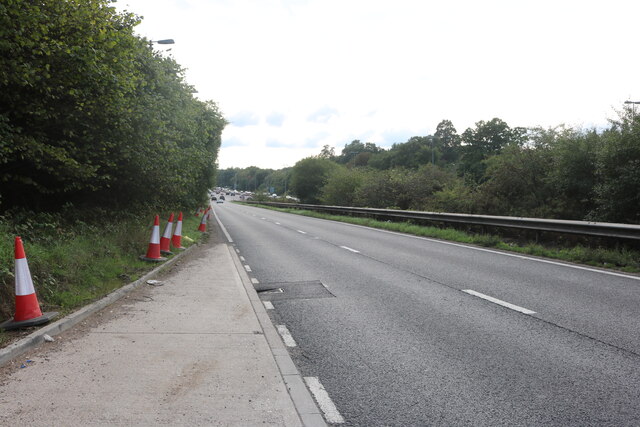
Burhill Park Images

Images are sourced within 2km of 51.349221/-0.422978 or Grid Reference TQ0962. Thanks to Geograph Open Source API. All images are credited.

Seven Hills Road (B365) Looking south.
Seven Hills Road (B365)
Looking south.
Holmesdale Flats On Bridgewater Road.
Holmesdale Flats
On Bridgewater Road.
Bridgewater Road, Weybridge
Sliproad on Portsmouth Road, Cobham
Seven Hills Road Looking north.
Seven Hills Road
Looking north.
Entrance to Whiteley Village from Seven Hills Road Looking north-east.
Entrance to Whiteley Village from Seven Hills Road
Looking north-east.
Woodlawn looking south
Woodlawn
looking south
East Road, St George's Hill, Weybridge looking NNE
East Road, St George's Hill, Weybridge
looking NNE
Roundabout on Seven Hills Road looking ENE
Roundabout on Seven Hills Road
looking ENE
Whiteley Village. An octagonally-shaped, planned, village just off the Seven Hills Road.
Whiteley Village.
An octagonally-shaped, planned, village just off the Seven Hills Road.
Cobham Bridge Widened and strengthened road bridge carrying the Portsmouth Road across the River Mole between the A3 and Cobham. The latest bridge was built in 1782, designed by Surrey County Surveyor, George Gwilt. A previous bridge was built in 1351.
Cobham Bridge
Widened and strengthened road bridge carrying the Portsmouth Road across the River Mole between the A3 and Cobham. The latest bridge was built in 1782, designed by Surrey County Surveyor, George Gwilt. A previous bridge was built in 1351.
River Mole at Cobham Looking upstream from Cobham Bridge. Here the Mole flows between Cobham village and Pain's Hill which is home to a landscaped Painshill Park estate.
<span class="nowrap"><a title="http://www.painshill.co.uk" rel="nofollow ugc noopener" href="http://www.painshill.co.uk">Link</a><img style="margin-left:2px;" alt="External link" title="External link - shift click to open in new window" src="https://s1.geograph.org.uk/img/external.png" width="10" height="10"/></span>
River Mole at Cobham
Looking upstream from Cobham Bridge. Here the Mole flows between Cobham village and Pain's Hill which is home to a landscaped Painshill Park estate. LinkExternal link
Sorbie Close Modern development in Weybridge.
Sorbie Close
Modern development in Weybridge.
East Road, St George's Hill View south, on this private road on a private estate.
East Road, St George's Hill
View south, on this private road on a private estate.
Entrance to Tennis Club Entrance to St George's Hill Tennis Club from East Road.
Entrance to Tennis Club
Entrance to St George's Hill Tennis Club from East Road.
Footpath from East Road to Ellesmere Road A short cut to and from the tennis club.
Footpath from East Road to Ellesmere Road
A short cut to and from the tennis club.
Ellesmere Road View north east from near the end of Ellesmere Road.
Ellesmere Road
View north east from near the end of Ellesmere Road.
Show me another place!

Burhill Park is located at Grid Ref: TQ0962 (Lat: 51.349221, Lng: -0.422978)

Administrative County: Surrey

District: Elmbridge

Police Authority: Surrey

What 3 Words

///home.flank.neon. Near Cobham, Surrey

Related Wikis

Whiteley Village

Whiteley Village, in Hersham, Surrey, England, is a retirement village, much of it designed architecturally by Arts and Crafts movement-influenced architect...

Notre Dame School, Surrey

Notre Dame School is an independent Catholic girls day school located in Cobham, Surrey, England. The school includes both a preparatory school and a senior...

Burwood Park

Burwood Park is a historic private estate located in Hersham, Surrey, England. Spanning six miles of road, Burwood Park is situated in a former deer park...

ACS International Schools

ACS International Schools is a group of four independent schools catering for local and international families - three in England and one in Qatar. Until...

St George's Hill

St George's Hill is a 964-acre (3.9 km2) private gated community in Weybridge, Surrey, United Kingdom. The estate has golf and tennis clubs, as well as...

Feltonfleet School

Feltonfleet School is a preparatory school for boys and girls from 3 to 13 years old, based in Cobham, Surrey in a Grade II listed building. The school...

Kenwood, St George's Hill

Kenwood is a house on the St George's Hill estate, Weybridge, Surrey, England. Originally called the Brown House, it was designed by architect T. A. Allen...

Cobham Free School

Cobham Free School is an all-through mixed free school which has two sites in Cobham, Elmbridge, Surrey, England. == History and sites == The school opened...

Nearby Amenities

Located within 500m of 51.349221,-0.422978
Crossing
Crossing: unmarked
Lat/Long: 51.3494995/-0.4285501
Crossing
Crossing: unmarked
Lat/Long: 51.3513408/-0.4290439
Crossing
Crossing: unmarked
Lat/Long: 51.3502479/-0.4290409
Crossing
Crossing: unmarked
Lat/Long: 51.3501197/-0.4293055
Crossing
Crossing: marked
Lat/Long: 51.3516489/-0.4278527
Crossing
Crossing: unmarked
Lat/Long: 51.3496275/-0.4282826
Crossing
Crossing: unmarked
Lat/Long: 51.3511766/-0.4288412
Crossing
Crossing: marked
Lat/Long: 51.3518156/-0.4280552
Street Lamp
Heritage: 2
Heritage Operator: Historic England
Listed Status: Grade II
Ref GB Nhle: 1030241
Wikidata: Q26281511
Lat/Long: 51.3500467/-0.4299737
Street Lamp
Heritage: 2
Heritage Operator: Historic England
Listed Status: Grade II
Ref GB Nhle: 1188509
Wikidata: Q26483647
Lat/Long: 51.3512827/-0.4290413
Street Lamp
Heritage: 2
Heritage Operator: Historic England
Listed Status: Grade II
Ref GB Nhle: 1365891
Wikidata: Q26647538
Lat/Long: 51.3507809/-0.4273657
Street Lamp
Heritage: 2
Heritage Operator: Historic England
Listed Status: Grade II
Ref GB Nhle: 1365890
Wikidata: Q26647537
Lat/Long: 51.3519186/-0.4281067
Street Lamp
Heritage: 2
Heritage Operator: Historic England
Listed Status: Grade II
Ref GB Nhle: 1294696
Wikidata: Q26582504
Lat/Long: 51.3507927/-0.4287319
Street Lamp
Heritage: 2
Heritage Operator: Historic England
Listed Status: Grade II
Ref GB Nhle: 1191378
Wikidata: Q26486112
Lat/Long: 51.3491922/-0.4299508
Street Lamp
Heritage: 2
Heritage Operator: Historic England
Listed Status: Grade II
Ref GB Nhle: 1293404
Wikidata: Q26581342
Lat/Long: 51.3496581/-0.4281188
Street Lamp
Heritage: 2
Heritage Operator: Historic England
Listed Status: Grade II
Ref GB Nhle: 1030147
Wikidata: Q26281402
Lat/Long: 51.3503819/-0.427451
Street Lamp
Heritage: 2
Heritage Operator: Historic England
Listed Status: Grade II
Ref GB Nhle: 1377441
Wikidata: Q26657901
Lat/Long: 51.3502407/-0.429121
Street Lamp
Heritage: 2
Heritage Operator: Historic England
Listed Status: Grade II
Ref GB Nhle: 1191296
Wikidata: Q26486036
Lat/Long: 51.3515941/-0.4277048
Street Lamp
Heritage: 2
Heritage Operator: Historic England
Listed Status: Grade II
Ref GB Nhle: 1030171
Wikidata: Q26281431
Lat/Long: 51.3505992/-0.4298173
The data included in this document is from www.openstreetmap.org. The data is made available under ODbL.

Have you been to Burhill Park?

Leave your review of Burhill Park below (or comments, questions and feedback).