Nettleton Moor
Downs, Moorland in Lincolnshire West Lindsey
England
Nettleton Moor

Nettleton Moor is a vast expanse of undulating moorland located in the county of Lincolnshire, England. Situated in the northern part of the county, it covers an area of approximately 2.5 square miles (6.5 square kilometers). The moor is nestled amidst the stunning landscape of the Lincolnshire Wolds, an Area of Outstanding Natural Beauty.
Characterized by its rolling hills, open grassland, and heather-covered slopes, Nettleton Moor showcases the beauty of the English countryside. The moorland is predominantly composed of peat, giving it a distinctive dark brown color. This unique ecosystem supports a diverse range of plant and animal species, including heather, bilberry, and cotton grass, as well as various bird species such as curlews and lapwings.
Nettleton Moor is also home to several ancient burial mounds, known as tumuli, which date back to the Bronze Age. These burial sites provide a glimpse into the rich history of the area, offering a fascinating insight into the lives and customs of the people who once inhabited these lands.
The moor attracts outdoor enthusiasts, offering ample opportunities for hiking, nature walks, and wildlife spotting. Visitors can explore the numerous footpaths that crisscross the moor, allowing them to immerse themselves in the tranquil surroundings and soak up the breathtaking views of the surrounding countryside.
Nettleton Moor is a haven for nature lovers and history enthusiasts alike, providing a serene and captivating experience amidst the unspoiled beauty of Lincolnshire's moorland landscape.
If you have any feedback on the listing, please let us know in the comments section below.
Nettleton Moor Images
Images are sourced within 2km of 53.48161/-0.35375667 or Grid Reference TF0999. Thanks to Geograph Open Source API. All images are credited.


Nettleton Moor is located at Grid Ref: TF0999 (Lat: 53.48161, Lng: -0.35375667)
Administrative County: Lincolnshire
District: West Lindsey
Police Authority: Lincolnshire
What 3 Words
///eats.erupts.shortcuts. Near Caistor, Lincolnshire
Nearby Locations
Related Wikis
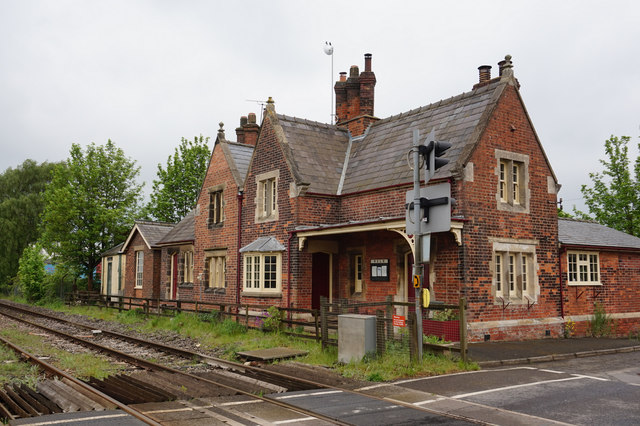
Moortown railway station
Moortown railway station was a railway station serving both the village of Moortown and town of Caistor in Lincolnshire, England on the line between Grimsby...

Nettleton, Lincolnshire
Nettleton is a village and civil parish in the West Lindsey district of Lincolnshire, England. It is situated less than 1 mile (1.6 km) south-west from...
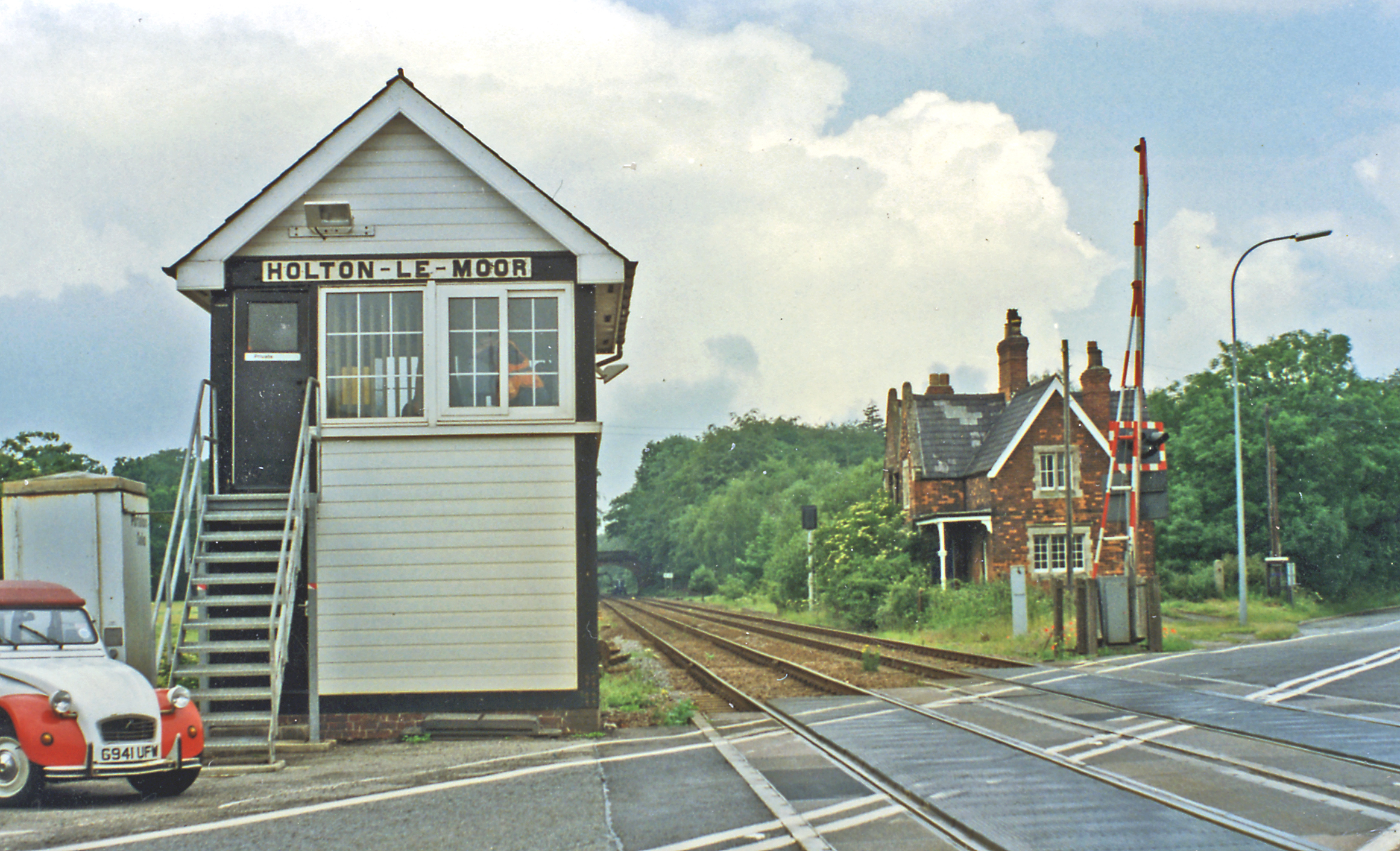
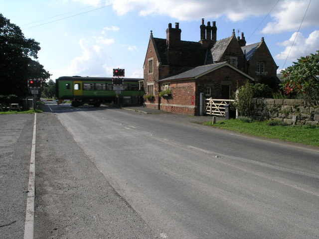
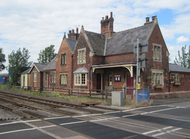
Holton Le Moor railway station
Holton Le Moor railway station was a station in Holton le Moor, Lincolnshire, England. It was opened in 1848 and closed in 1965. == References ==

Holton le Moor
Holton le Moor is a small village and civil parish in the West Lindsey district of Lincolnshire, England. Holton le Moor lies on the B1434 road. The nearest...

Moot Hall, Holton le Moor
The Moot Hall is a civic building in Market Rasen Road, Holton le Moor, Lincolnshire, England. The building, which continues to be used for civic meetings...

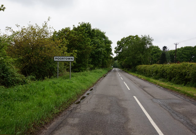
Moortown, Lincolnshire
Moortown is a hamlet in the civil parish of South Kelsey, and in the West Lindsey district of Lincolnshire, England. It is at the crossroads of the B1205...
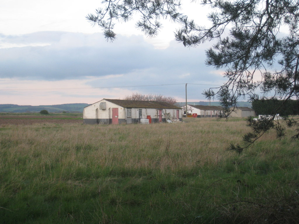
RAF Caistor
RAF Caistor is a former Royal Air Force Relief Landing Ground located 6.2 miles (10.0 km) south east of Brigg, Lincolnshire and 9.1 miles (14.6 km) north...
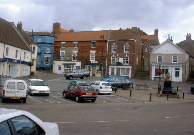
Caistor
Caistor is a town and civil parish in the West Lindsey district of Lincolnshire, England. As its name implies, it was originally a Roman castrum or fortress...
Have you been to Nettleton Moor?
Leave your review of Nettleton Moor below (or comments, questions and feedback).