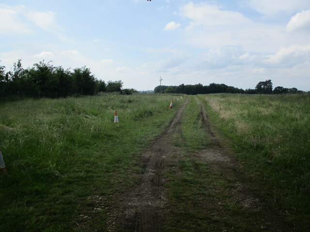
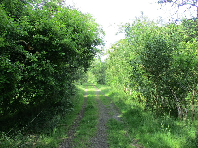
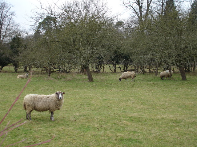
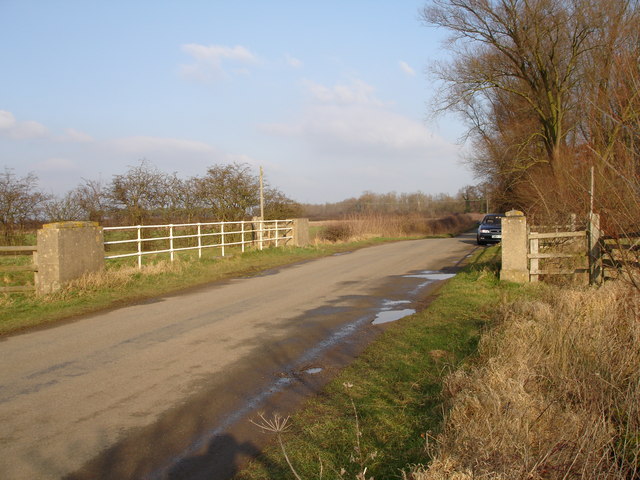
Cow Pasture
Downs, Moorland in Lincolnshire South Kesteven
England
Cow Pasture
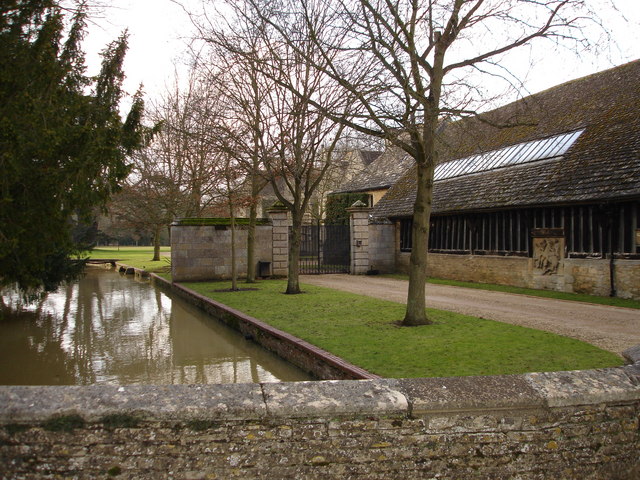
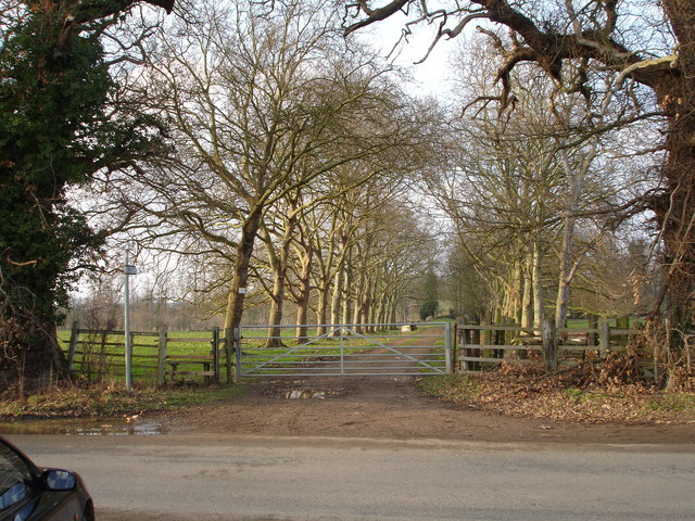
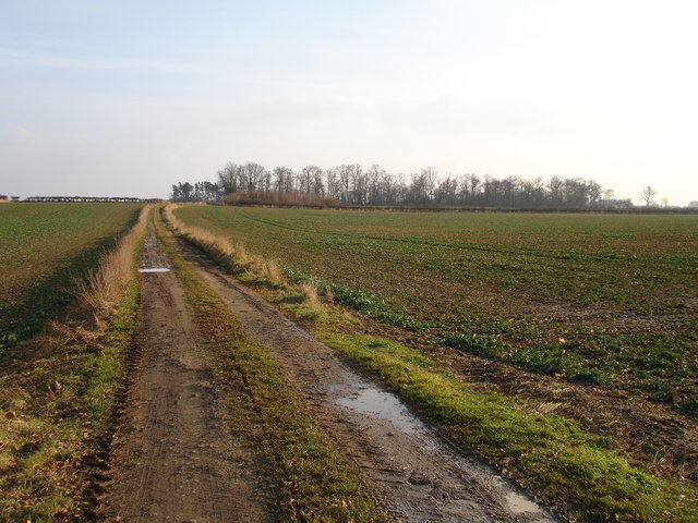
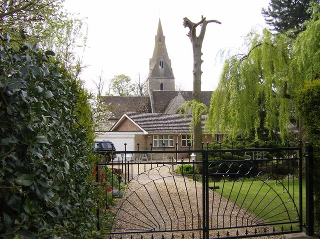
Cow Pasture, Lincolnshire is a picturesque rural area located in the East Midlands region of England. Renowned for its rolling hills, lush green fields, and serene landscapes, it offers a perfect escape from the bustling city life. The region encompasses a diverse range of terrains including downs, moorland, and meadows, making it an ideal habitat for cows to graze.
The name "Cow Pasture" aptly describes the primary agricultural activity in the area, which predominantly revolves around dairy farming. The rich pasturelands provide ample grazing opportunities for the local cows, resulting in the production of high-quality milk and dairy products.
Lincolnshire Downs, one of the prominent features of Cow Pasture, offers stunning panoramic views of the countryside. Its gently sloping hills and deep valleys are home to an array of wildlife and plant species, making it a popular spot for nature enthusiasts and hikers. The area is also intersected by picturesque walking trails, allowing visitors to explore its beauty at their leisure.
Moorland, another distinctive aspect of Cow Pasture, showcases a different landscape altogether. Characterized by its open, treeless expanses and heather-covered hills, it provides a unique habitat for various bird species, including the rare hen harrier. Furthermore, the moorland serves as a natural carbon sink, playing a crucial role in mitigating climate change.
Overall, Cow Pasture, Lincolnshire is a haven for nature lovers, offering a harmonious blend of pastoral beauty, diverse terrains, and abundant wildlife. Its rolling downs, moorland vistas, and thriving dairy industry contribute to the region's charm and make it a must-visit destination for those seeking tranquility amidst nature's splendor.
If you have any feedback on the listing, please let us know in the comments section below.
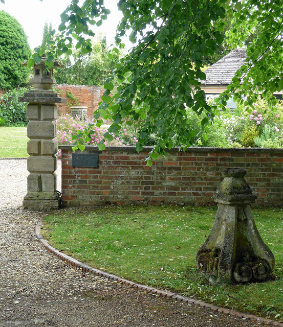
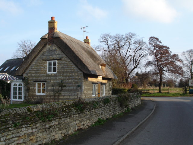
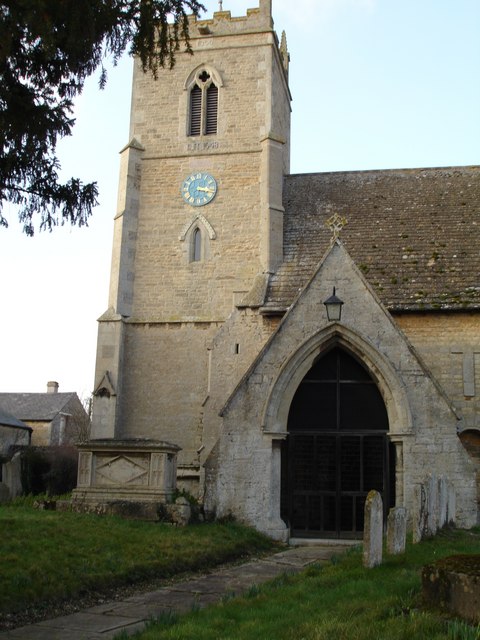
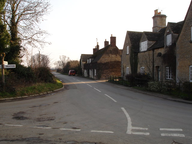
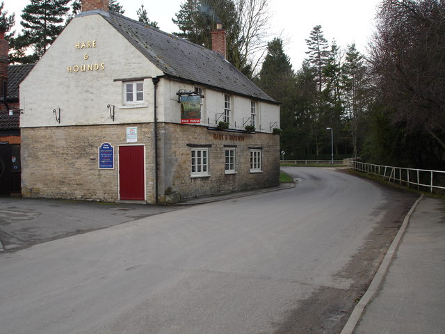
Cow Pasture Images
Images are sourced within 2km of 52.679454/-0.40712612 or Grid Reference TF0710. Thanks to Geograph Open Source API. All images are credited.


Cow Pasture is located at Grid Ref: TF0710 (Lat: 52.679454, Lng: -0.40712612)
Administrative County: Lincolnshire
District: South Kesteven
Police Authority: Lincolnshire
What 3 Words
///nerd.maybe.pirates. Near Essendine, Rutland
Nearby Locations
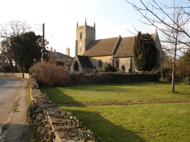
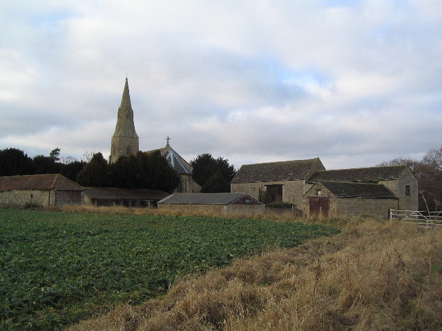
Related Wikis

Uffington Rural District
Uffington was a rural district in Lincolnshire, Parts of Kesteven from 1894 to 1931. It was created in 1894 from that part of the Stamford rural sanitary...
Barholm and Stowe
Barholm and Stowe is a civil parish in the South Kesteven district of Lincolnshire, England. According to the 2001 census it had a population of 87 in...

Greatford
Greatford is a village and civil parish in the South Kesteven district of Lincolnshire, England. It is situated 2 miles (3 km) west from the A15, 4.5 miles...
Barholm
Barholm is a village in the South Kesteven district of Lincolnshire, England. It is 2 miles (3 km) west from the A15 road, and 6 miles (10 km) south from...
Braceborough
Braceborough is a village in the South Kesteven district of Lincolnshire, England. It is situated off the Stamford to Bourne A6121 road, just west of the...

Tallington railway station
Tallington railway station was a station in Tallington, Lincolnshire on the Great Northern Railway between Grantham and Peterborough. It was closed in...

Tallington
Tallington is a village and civil parish in the South Kesteven district of Lincolnshire, England. The population of the civil parish at the 2011 census...

Uffington, Lincolnshire
Uffington is a village and civil parish in the South Kesteven district of Lincolnshire, England. The population of the civil parish at the 2011 census...
Nearby Amenities
Located within 500m of 52.679454,-0.40712612Have you been to Cow Pasture?
Leave your review of Cow Pasture below (or comments, questions and feedback).