Cow Pasture Plantation
Wood, Forest in Lincolnshire South Kesteven
England
Cow Pasture Plantation
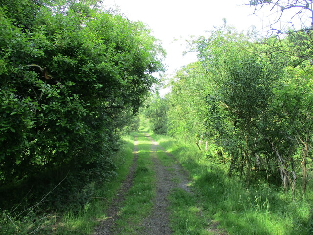
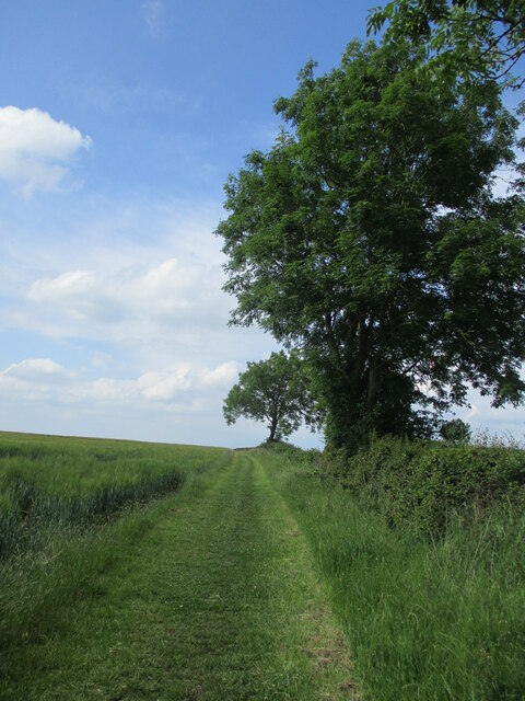
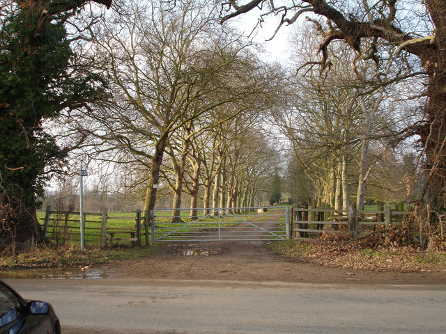
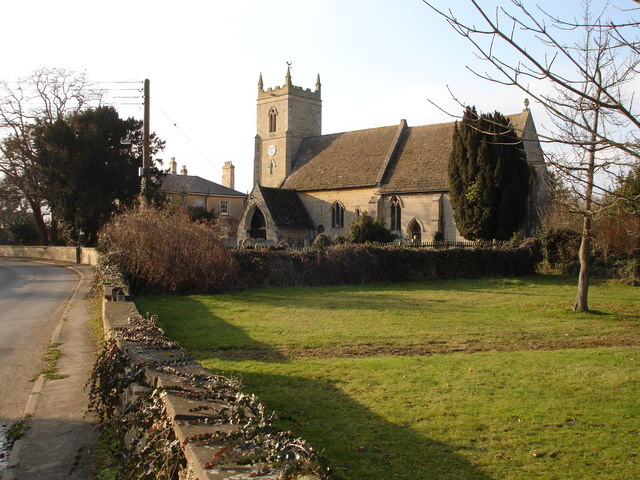
Cow Pasture Plantation is a picturesque woodland located in Lincolnshire, England. Spanning across a vast area, it is known for its dense and diverse collection of trees and plants, creating a thriving ecosystem that is home to a variety of wildlife.
The plantation is predominantly composed of deciduous trees such as oak, beech, and birch, which are interspersed with evergreen conifers like pine and spruce. This combination of tree species provides a rich tapestry of colors throughout the year, with vibrant autumnal hues and lush greenery in the summer months.
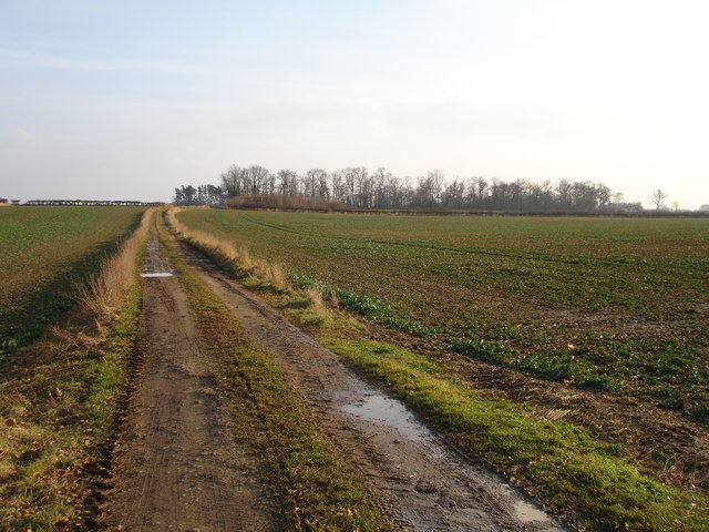
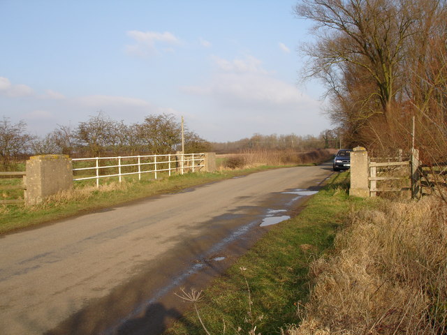
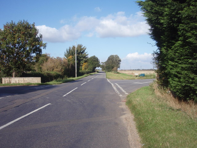
One of the highlights of Cow Pasture Plantation is its network of well-maintained trails, offering visitors the opportunity to explore the woodland and appreciate its natural beauty up close. These pathways wind through the plantation, leading to secluded clearings and tranquil spots where visitors can enjoy a picnic or simply soak in the peaceful atmosphere.
The biodiversity within the plantation is remarkable, with a wide range of flora and fauna coexisting harmoniously. Wildflowers such as bluebells and primroses can be found carpeting the forest floor during spring, while birds such as woodpeckers, owls, and various songbirds can be heard chirping and fluttering among the tree branches.
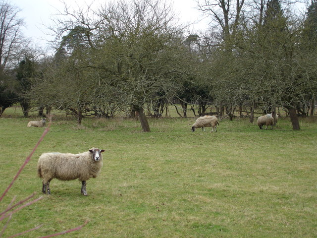
Cow Pasture Plantation serves as an important habitat for numerous animal species, including deer, rabbits, and squirrels. It also acts as a sanctuary for many endangered and rare species of insects and plants, contributing to the conservation efforts in the region.
In summary, Cow Pasture Plantation in Lincolnshire is a captivating woodland that offers visitors a chance to connect with nature, explore its well-kept trails, and discover the diverse array of flora and fauna that call this plantation home.
If you have any feedback on the listing, please let us know in the comments section below.
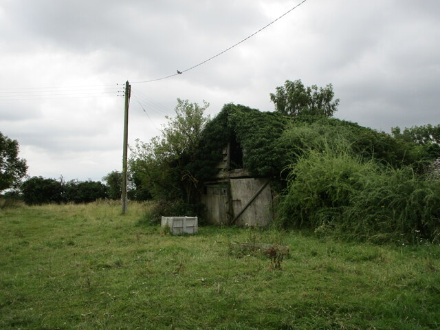
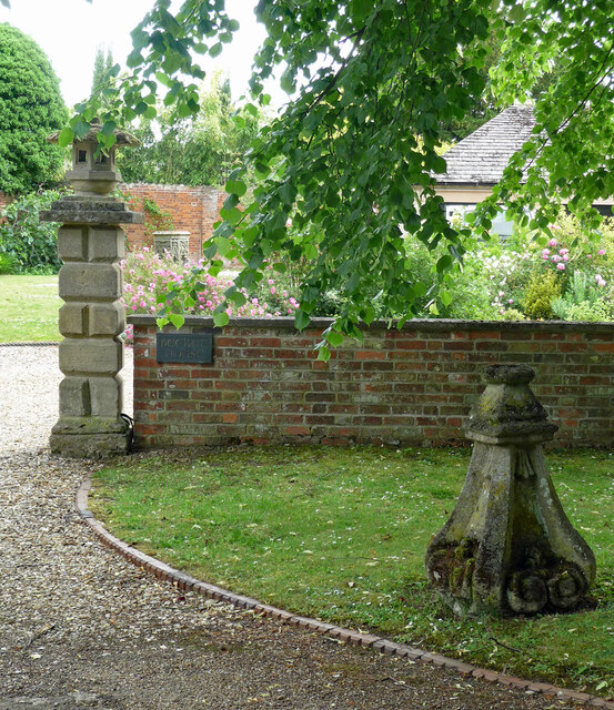
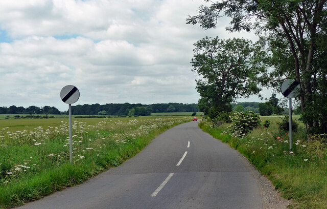
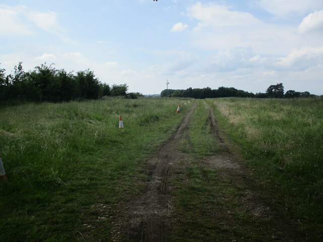
Cow Pasture Plantation Images
Images are sourced within 2km of 52.68258/-0.40961606 or Grid Reference TF0710. Thanks to Geograph Open Source API. All images are credited.


Cow Pasture Plantation is located at Grid Ref: TF0710 (Lat: 52.68258, Lng: -0.40961606)
Administrative County: Lincolnshire
District: South Kesteven
Police Authority: Lincolnshire
What 3 Words
///restless.plotted.hamsters. Near Essendine, Rutland
Nearby Locations
Related Wikis
Barholm and Stowe
Barholm and Stowe is a civil parish in the South Kesteven district of Lincolnshire, England. According to the 2001 census it had a population of 87 in...

Uffington Rural District
Uffington was a rural district in Lincolnshire, Parts of Kesteven from 1894 to 1931. It was created in 1894 from that part of the Stamford rural sanitary...

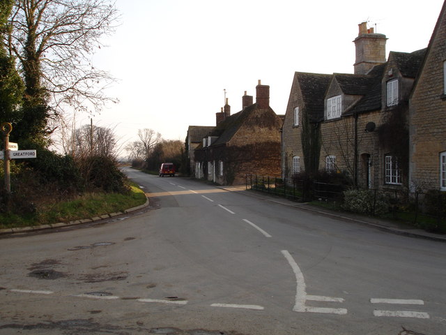
Greatford
Greatford is a village and civil parish in the South Kesteven district of Lincolnshire, England. It is situated 2 miles (3 km) west from the A15, 4.5 miles...
Braceborough
Braceborough is a village in the South Kesteven district of Lincolnshire, England. It is situated off the Stamford to Bourne A6121 road, just west of the...
Barholm
Barholm is a village in the South Kesteven district of Lincolnshire, England. It is 2 miles (3 km) west from the A15 road, and 6 miles (10 km) south from...

Tallington railway station
Tallington railway station was a station in Tallington, Lincolnshire on the Great Northern Railway between Grantham and Peterborough. It was closed in...

Tallington
Tallington is a village and civil parish in the South Kesteven district of Lincolnshire, England. The population of the civil parish at the 2011 census...
King Street (Roman road)
King Street is the name of a modern road on the line of a Roman road. It runs on a straight course in eastern England, between the City of Peterborough...
Nearby Amenities
Located within 500m of 52.68258,-0.40961606Have you been to Cow Pasture Plantation?
Leave your review of Cow Pasture Plantation below (or comments, questions and feedback).