Easingwold Plantation

Downs, Moorland in Yorkshire

England

Easingwold Plantation

Wilfholme  Road  toward  A164
Wilfholme Road toward A164 Credit: Martin Dawes

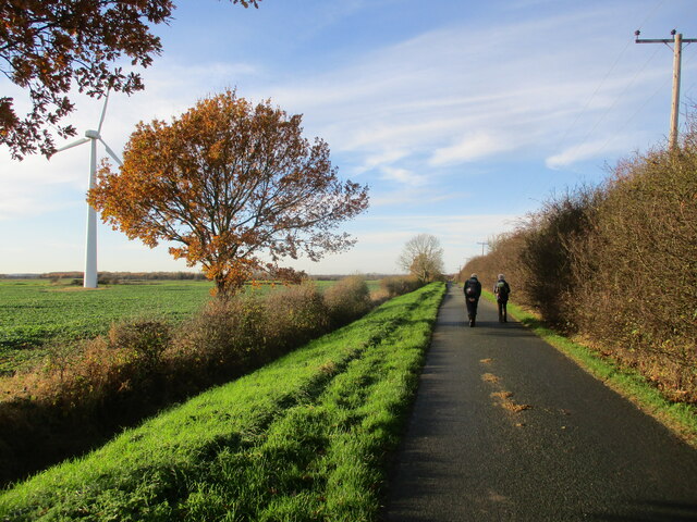
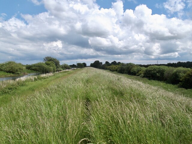
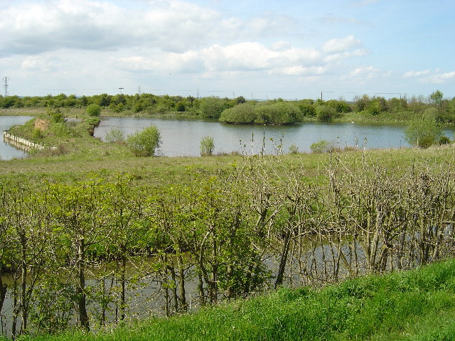
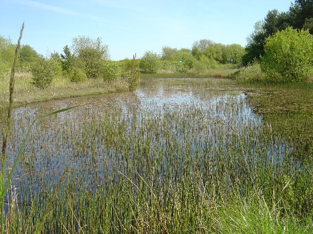
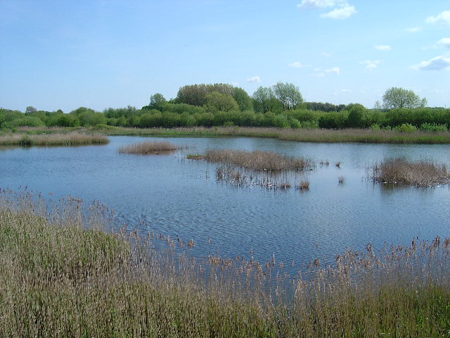
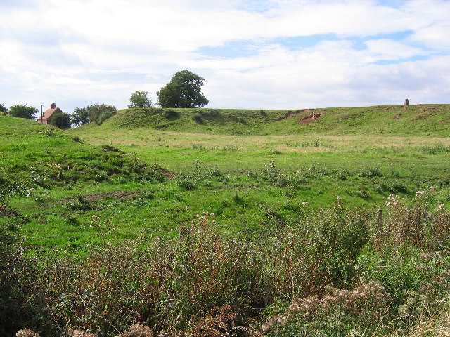
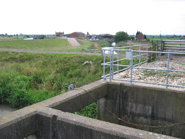
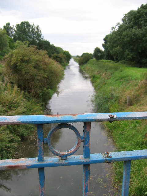
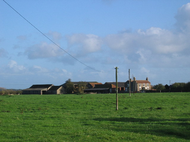
Easingwold Plantation is a picturesque woodland located in the county of Yorkshire, England. Situated in the heart of the Yorkshire Downs, this plantation spans an area of approximately 500 acres and is renowned for its natural beauty and rich biodiversity.

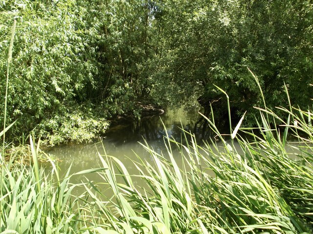
The plantation is predominantly composed of native tree species such as oak, beech, and birch, which create a dense and verdant canopy. This woodland habitat provides a haven for a diverse range of wildlife, including birds, mammals, and insects. Visitors to Easingwold Plantation can often spot species such as woodpeckers, badgers, and deer, making it a popular destination for nature enthusiasts and wildlife photographers.

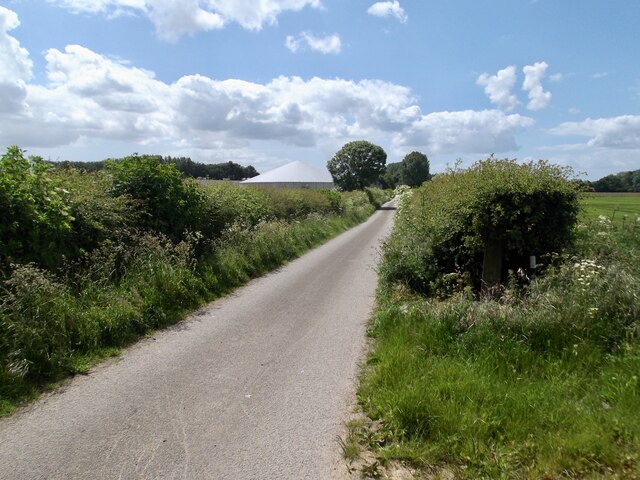
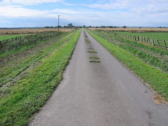
Aside from its natural beauty, Easingwold Plantation also offers several recreational activities for visitors to enjoy. The woodland is crisscrossed by a network of well-maintained walking trails, which allow visitors to explore the plantation at their own pace. These trails offer stunning views of the surrounding countryside, including the nearby Yorkshire Moors, further enhancing the visitor experience.

Additionally, Easingwold Plantation is a designated Site of Special Scientific Interest (SSSI), recognizing its importance for conservation and scientific study. The unique combination of woodland, moorland, and downs within the plantation makes it an ideal location for researchers and ecologists to study and monitor the local ecosystem.

Overall, Easingwold Plantation in Yorkshire is a haven of natural beauty, offering visitors the chance to immerse themselves in a tranquil woodland setting while also providing valuable habitat for wildlife and a site for scientific research.

If you have any feedback on the listing, please let us know in the comments section below.

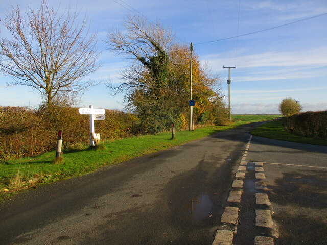
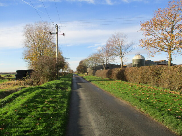
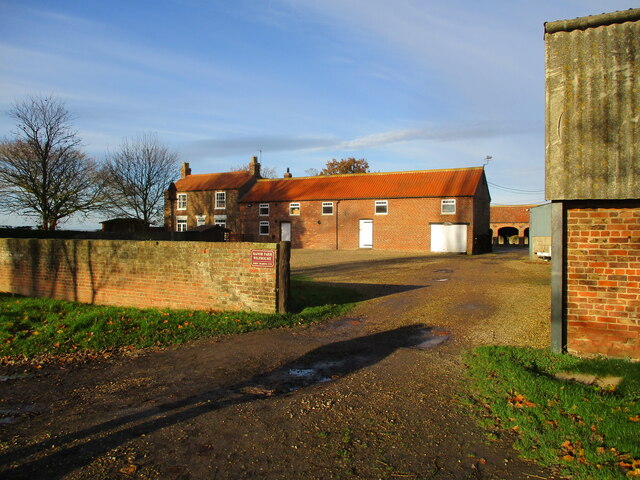
Easingwold Plantation Images

Images are sourced within 2km of 53.917907/-0.38130221 or Grid Reference TA0648. Thanks to Geograph Open Source API. All images are credited.

Wilfholme  Road  toward  A164
Wilfholme Road toward A164
Junction  on  Wilfholme  Road  at  Soberhill  Farm
Junction on Wilfholme Road at Soberhill Farm
Toward  Manor  Farm  on  Wilfeholme  Road
Toward Manor Farm on Wilfeholme Road
Manor  Farm  from  Wilfholme  Road
Manor Farm from Wilfholme Road
Bank of the river Hull approaching Linley Hill Farm Access issues at Wilfholme documented elsewhere and difficult parking either at Aike or Baswick make this a tricky square to visit. A walk from Leven along the canal is a 12 km. return trip but I was rewarded by the sound of a cuckoo by the canal and sight a short-eared owl as I reached this spot.
Bank of the river Hull approaching Linley Hill Farm
Access issues at Wilfholme documented elsewhere and difficult parking either at Aike or Baswick make this a tricky square to visit. A walk from Leven along the canal is a 12 km. return trip but I was rewarded by the sound of a cuckoo by the canal and sight a short-eared owl as I reached this spot.
A small side channel on the River Hull Strangely it is not marked on the map but can be seen on an aerial view. Only just in the square!
A small side channel on the River Hull
Strangely it is not marked on the map but can be seen on an aerial view. Only just in the square!
The road towards Decoy House The white building is entirely canvas...a big marquee!
The road towards Decoy House
The white building is entirely canvas...a big marquee!
Tophill Low Nature Reserve "D" Reservoir Tophill Low water treatment works and nature reserve has two reservoirs known as the 'D' and 'O' reservoirs after their shape.  As well as being magnets for wildlife they are also major navigation way marks for small aircraft.  The only way to see the water is from the viewing hides.
Tophill Low Nature Reserve "D" Reservoir
Tophill Low water treatment works and nature reserve has two reservoirs known as the 'D' and 'O' reservoirs after their shape. As well as being magnets for wildlife they are also major navigation way marks for small aircraft. The only way to see the water is from the viewing hides.
Watton Carr Nature Reserve Also known as Watton Borrow Pits this view is from within Tophill Low nature reserve across Barmston Drain.
Watton Carr Nature Reserve
Also known as Watton Borrow Pits this view is from within Tophill Low nature reserve across Barmston Drain.
East Pond at Tophill Low Nature reserve East pond is a great place to watch dragonflies and in May is full with the sound of European marsh frogs
East Pond at Tophill Low Nature reserve
East pond is a great place to watch dragonflies and in May is full with the sound of European marsh frogs
South Marsh West, Tophill Low Nature Reserve Looking south east from a hide.  There was much excitement early in 2005 when a pair of bitterns moved in.
South Marsh West, Tophill Low Nature Reserve
Looking south east from a hide. There was much excitement early in 2005 when a pair of bitterns moved in.
Barff Hill Farm & Trig Pillar This view from TA0457847283 looking SW towards the farm and the trig pillar on the hill.
Barff Hill Farm & Trig Pillar
This view from TA0457847283 looking SW towards the farm and the trig pillar on the hill.
Wilfholme Landing Looking to Wilholme Landing from TA0620647275 which is in the bottom SW corner of the grid square. Beverley & Barmston Drain runs diagonally through the square and the river Hull meanders in from the east edge to flow parallel for a short while before leaving the south edge.
Wilfholme Landing
Looking to Wilholme Landing from TA0620647275 which is in the bottom SW corner of the grid square. Beverley & Barmston Drain runs diagonally through the square and the river Hull meanders in from the east edge to flow parallel for a short while before leaving the south edge.
Beverley & Barmston Drain Looking south from the bridge which gives access to Yorkshire Waters Tophill Low water Treatment facility, which is also a nature and wildlife habitat
Beverley & Barmston Drain
Looking south from the bridge which gives access to Yorkshire Waters Tophill Low water Treatment facility, which is also a nature and wildlife habitat
Boat House - River Hull View south along the River Hull near Wilfholme landing.
Boat House - River Hull
View south along the River Hull near Wilfholme landing.
The road from Wilfholme Landing This grid square is very flat land, a mix of pasture and crops. The road runs diagonally across the square from Wilfholme landing in the NE corner.
The road from Wilfholme Landing
This grid square is very flat land, a mix of pasture and crops. The road runs diagonally across the square from Wilfholme landing in the NE corner.
Sleights Farm The farm is in the top NW corner of the grid square which is all farmland.
Sleights Farm
The farm is in the top NW corner of the grid square which is all farmland.
Tophill Low, Yorkshire Water treatment Plant Control Room
Show me another place!

Easingwold Plantation is located at Grid Ref: TA0648 (Lat: 53.917907, Lng: -0.38130221)

Division: East Riding

Unitary Authority: East Riding of Yorkshire

Police Authority: Humberside

What 3 Words

///itself.voltages.scrubbing. Near Watton, East Yorkshire

Related Wikis

Tophill Low

Tophill Low is a nature reserve and Site of Special Scientific Interest (SSSI) in the East Riding of Yorkshire, England. The site is also an active water...

Wilfholme Landing

Wilfholme Landing is located on the Driffield Navigation in the East Riding of Yorkshire, England. The navigation is still tidal at this point, and is...

Wilfholme

Wilfholme is a hamlet in the East Riding of Yorkshire, England. It forms part of the civil parish of Beswick, and is situated just east from the A164 road...

Struncheon Hill Lock

Struncheon Hill Lock was built as a later addition to the Driffield Navigation in the East Riding of Yorkshire, England. It improved access to the next...

Nearby Amenities

Located within 500m of 53.917907,-0.38130221
Power: tower
Lat/Long: 53.9153658/-0.3834956
Power: tower
Lat/Long: 53.9175266/-0.3844309
Power: tower
Lat/Long: 53.9201098/-0.3855329
The data included in this document is from www.openstreetmap.org. The data is made available under ODbL.

Have you been to Easingwold Plantation?

Leave your review of Easingwold Plantation below (or comments, questions and feedback).