Middleflat Plantation
Wood, Forest in Yorkshire
England
Middleflat Plantation
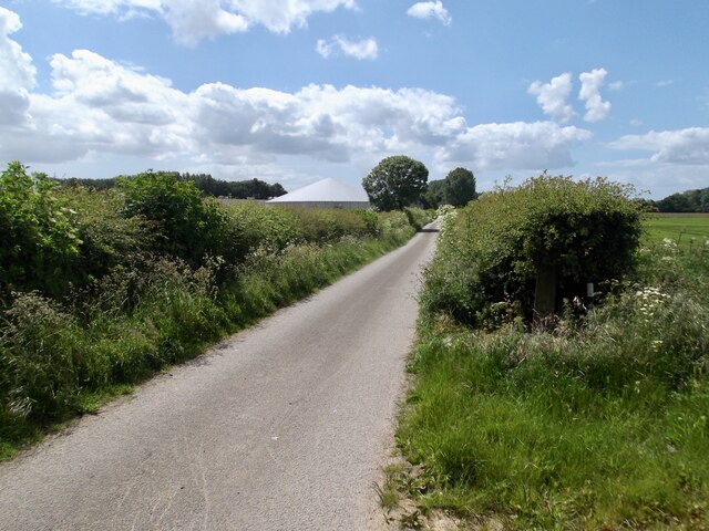
Middleflat Plantation is a picturesque woodland located in the county of Yorkshire, England. Situated on the outskirts of a small village, it covers an area of approximately 100 acres, making it a significant woodland in the region. The plantation is characterized by a dense forest of predominantly deciduous trees, including oak, ash, birch, and beech, which create a lush and vibrant canopy throughout the year.
The plantation is renowned for its natural beauty and provides a tranquil escape for nature enthusiasts and hikers alike. It boasts a network of well-maintained footpaths that wind through the woodland, allowing visitors to explore its diverse flora and fauna. The forest floor is adorned with a rich tapestry of wildflowers, ferns, and mosses, creating a vibrant undergrowth that further enhances the plantation’s charm.
The woodland is also home to a variety of wildlife species, including deer, foxes, badgers, and an array of bird species. Birdwatchers can spot woodpeckers, owls, and various songbirds that inhabit the trees.
Middleflat Plantation offers a range of recreational activities, such as walking, birdwatching, and photography. Its natural beauty and peaceful ambiance make it a popular destination for families, nature lovers, and those seeking respite from the hustle and bustle of everyday life. Whether it’s a leisurely stroll along the winding paths or a more adventurous exploration of its hidden corners, Middleflat Plantation promises an unforgettable experience for all who visit.
If you have any feedback on the listing, please let us know in the comments section below.
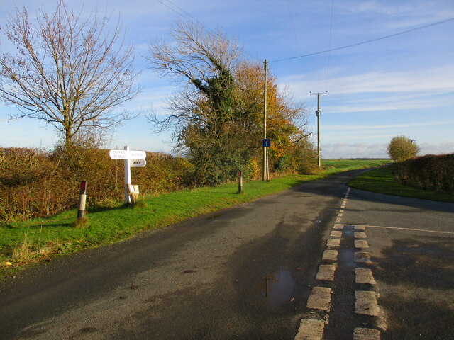
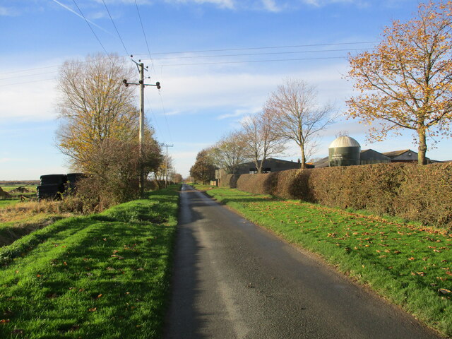
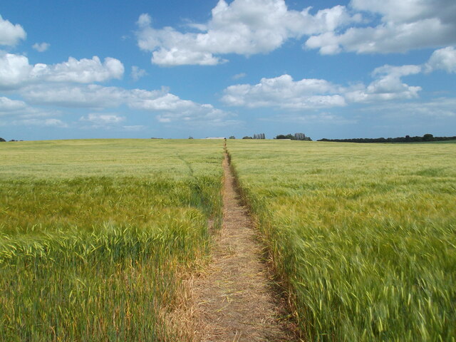
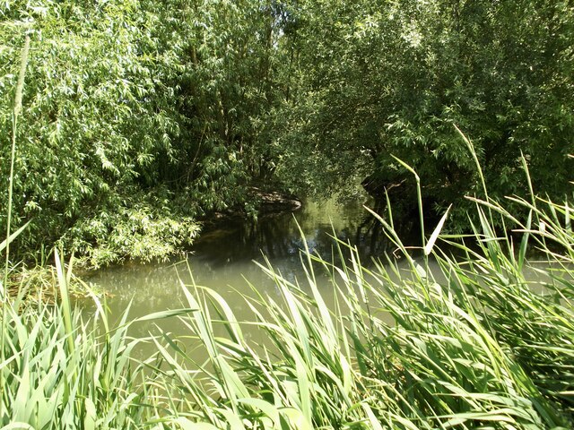
Middleflat Plantation Images
Images are sourced within 2km of 53.925224/-0.37730305 or Grid Reference TA0648. Thanks to Geograph Open Source API. All images are credited.


Middleflat Plantation is located at Grid Ref: TA0648 (Lat: 53.925224, Lng: -0.37730305)
Division: East Riding
Unitary Authority: East Riding of Yorkshire
Police Authority: Humberside
What 3 Words
///slicer.wounds.bombshell. Near Watton, East Yorkshire
Nearby Locations
Related Wikis

Tophill Low
Tophill Low is a nature reserve and Site of Special Scientific Interest (SSSI) in the East Riding of Yorkshire, England. The site is also an active water...

Struncheon Hill Lock
Struncheon Hill Lock was built as a later addition to the Driffield Navigation in the East Riding of Yorkshire, England. It improved access to the next...

Wilfholme
Wilfholme is a hamlet in the East Riding of Yorkshire, England. It forms part of the civil parish of Beswick, and is situated just east from the A164 road...
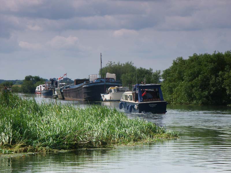
Wilfholme Landing
Wilfholme Landing is located on the Driffield Navigation in the East Riding of Yorkshire, England. The navigation is still tidal at this point, and is...
Have you been to Middleflat Plantation?
Leave your review of Middleflat Plantation below (or comments, questions and feedback).