Spittle Fields

Downs, Moorland in Yorkshire

England

Spittle Fields

Wansford, Carr Lane bridge This is the northern parapet of the bridge on Carr Lane. According to the OS database there was a benchmark cut into this parapet. Today the bridge is a modern structure and no benchmark can be found.
Wansford, Carr Lane bridge Credit: Mel Towler

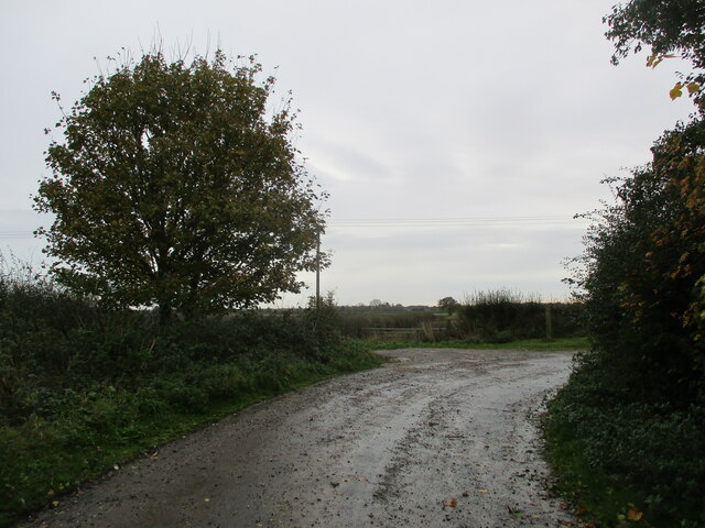
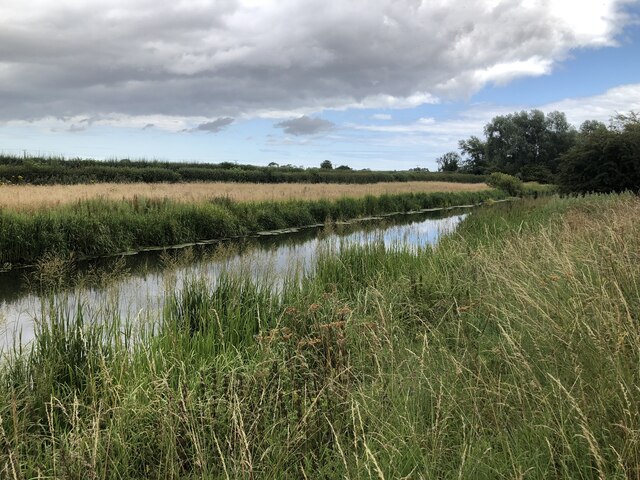
Spittle Fields is a picturesque area located in the county of Yorkshire, England. It is nestled amidst the stunning landscapes of the Yorkshire Downs and Moorland, offering visitors a breathtaking blend of natural beauty and tranquility.

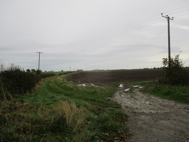
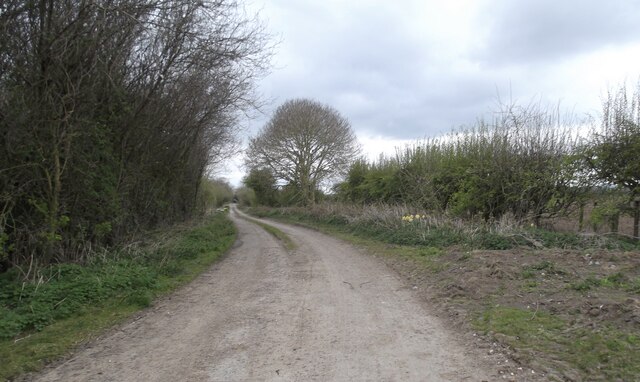
The area is renowned for its rolling hills, vast meadows, and lush greenery, making it an idyllic destination for nature lovers and outdoor enthusiasts. The Yorkshire Downs, with their gentle slopes and panoramic views, provide ample opportunities for hiking, cycling, and horseback riding, allowing visitors to immerse themselves in the surrounding countryside. The Moorland, characterized by its heather-covered expanses and rugged terrain, offers a unique and wilder experience.

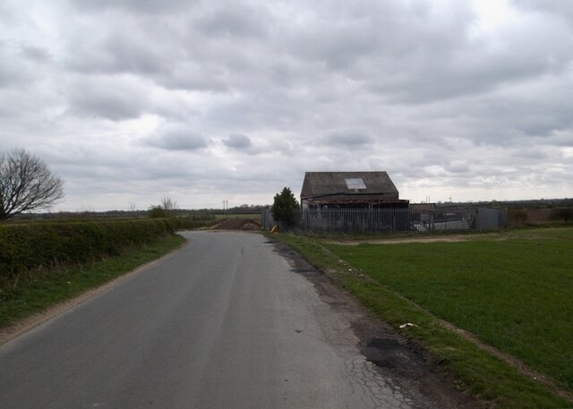
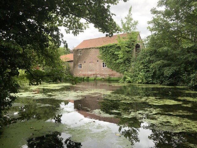
Spittle Fields itself is a charming hamlet, with a small population that adds to its charm and peaceful atmosphere. The village is comprised of quaint stone cottages, some of which date back centuries, adding a touch of history to the area. The locals are known for their warm hospitality and a strong sense of community, making visitors feel welcome and at home.

In addition to its natural beauty, Spittle Fields is also home to several attractions. The nearby Spittle Fields Farm offers visitors the opportunity to experience rural life, with activities such as sheep herding and milking cows. The area is also dotted with ancient ruins and archaeological sites, providing a glimpse into the rich history and heritage of the region.

Overall, Spittle Fields, nestled within the Yorkshire Downs and Moorland, offers a serene escape from the hustle and bustle of city life, with its stunning landscapes, friendly locals, and a range of outdoor activities for visitors to enjoy.

If you have any feedback on the listing, please let us know in the comments section below.

Spittle Fields Images

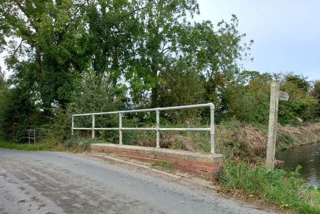
Images are sourced within 2km of 54.00414/-0.38091797 or Grid Reference TA0657. Thanks to Geograph Open Source API. All images are credited.
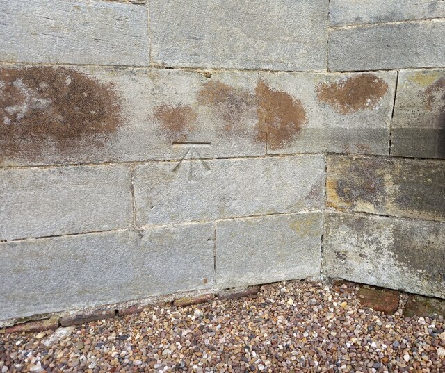
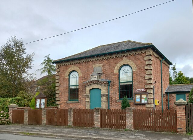
Wansford, Carr Lane bridge This is the northern parapet of the bridge on Carr Lane. According to the OS database there was a benchmark cut into this parapet. Today the bridge is a modern structure and no benchmark can be found.
Wansford, Carr Lane bridge
This is the northern parapet of the bridge on Carr Lane. According to the OS database there was a benchmark cut into this parapet. Today the bridge is a modern structure and no benchmark can be found.
Wansford, St Mary's The benchmark is cut into the south facing wall of the church.
Wansford, St Mary's
The benchmark is cut into the south facing wall of the church.
Wansford, St Mary's A wider angle showing the church in Wansford. There is a benchmark cut into this south facing wall; to the left of the furthest right buttress.
Wansford, St Mary's
A wider angle showing the church in Wansford. There is a benchmark cut into this south facing wall; to the left of the furthest right buttress.
Wansford village hall The OS flush bracket [S6525] is on the south facing wall of the village hall.
Wansford village hall
The OS flush bracket [S6525] is on the south facing wall of the village hall.
Wansford village hall There is an OS flush bracket inset into the north facing wall of the village hall, below the defibrillator box.
Wansford village hall
There is an OS flush bracket inset into the north facing wall of the village hall, below the defibrillator box.
Wansford lock This bollard is on the north side of Wansford lock which is part of the Driffield Canal. Between the bollard and the edge of the lock there is a benchmark and rivet.
Wansford lock
This bollard is on the north side of Wansford lock which is part of the Driffield Canal. Between the bollard and the edge of the lock there is a benchmark and rivet.
Wansford lock The Wansford lock is part of the Driffield Canal. Between the bollard that is to the left of the picnic table, and the edge of the lock there is a benchmark and rivet cut into the edging stone of the lock.
Wansford lock
The Wansford lock is part of the Driffield Canal. Between the bollard that is to the left of the picnic table, and the edge of the lock there is a benchmark and rivet cut into the edging stone of the lock.
Wansford, bridge over River Hull This is the east parapet of the Wansford bridge. There is a rivet and benchmark in the base stone of the parapet.
Wansford, bridge over River Hull
This is the east parapet of the Wansford bridge. There is a rivet and benchmark in the base stone of the parapet.
Wansford, bridge over River Hull This is the east parapet of the Wansford bridge. There is a rivet and benchmark in the base stone of the parapet, to the left of the footpath sign.
Wansford, bridge over River Hull
This is the east parapet of the Wansford bridge. There is a rivet and benchmark in the base stone of the parapet, to the left of the footpath sign.
Winter  arable  crop  in  waterlogged  field From minor country lane toward Millingdale Farm
Winter arable crop in waterlogged field
From minor country lane toward Millingdale Farm
Corner  of  old  road  at  Whin  Hill There is a footpath finger post into the field at the corner but it is a path to nowhere as it shortly goes right down to the main road and there is no linkup footpath
Corner of old road at Whin Hill
There is a footpath finger post into the field at the corner but it is a path to nowhere as it shortly goes right down to the main road and there is no linkup footpath
Field  edge  track  at  Whin  Hill The footpath goes right past the telegraph pole
Field edge track at Whin Hill
The footpath goes right past the telegraph pole
Old Wansford Road
Old Wansford Road
Markman Lane
Markman Lane
Driffield canal near Whinhill Farm
Whinhill Lock on the Driffield Canal Built during construction of the Driffield Navigation and opened in 1770, the lock is grade II listed and was restored and re-opened in 2004, though on 2022 OS maps it is shown as disused.
Whinhill Lock on the Driffield Canal
Built during construction of the Driffield Navigation and opened in 1770, the lock is grade II listed and was restored and re-opened in 2004, though on 2022 OS maps it is shown as disused.
Mill Farm beside Driffield Canal
Jetty on Driffield Canal Small wooden jetty on the edge of Wansford on the Driffield Canal.
Jetty on Driffield Canal
Small wooden jetty on the edge of Wansford on the Driffield Canal.
Show me another place!

Spittle Fields is located at Grid Ref: TA0657 (Lat: 54.00414, Lng: -0.38091797)

Division: East Riding

Unitary Authority: East Riding of Yorkshire

Police Authority: Humberside

What 3 Words

///melon.headboard.together. Near Nafferton, East Yorkshire

Nearby Locations

Spittle Fields

Related Wikis

Nafferton railway station

Nafferton railway station serves the village of Nafferton in the East Riding of Yorkshire, England. It is located on the Yorkshire Coast Line and is operated...

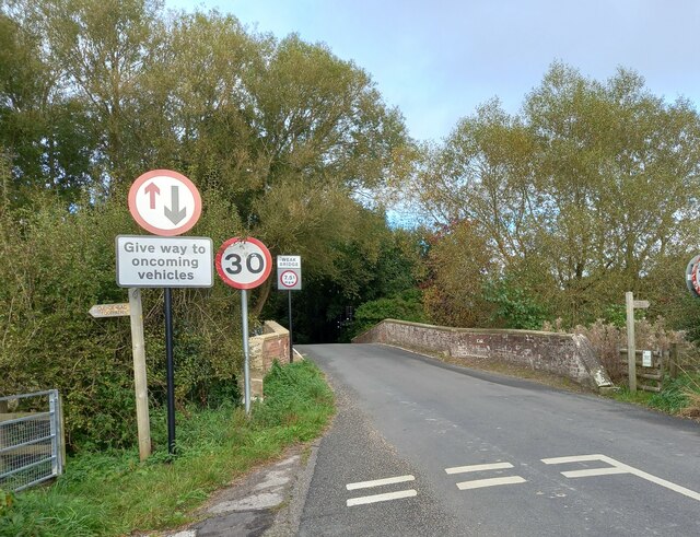
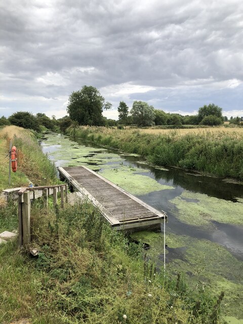
Wansford, East Riding of Yorkshire

Wansford is a village and former civil parish, now in the parish of Skerne and Wansford, in the East Riding of Yorkshire, England. It is situated on the...
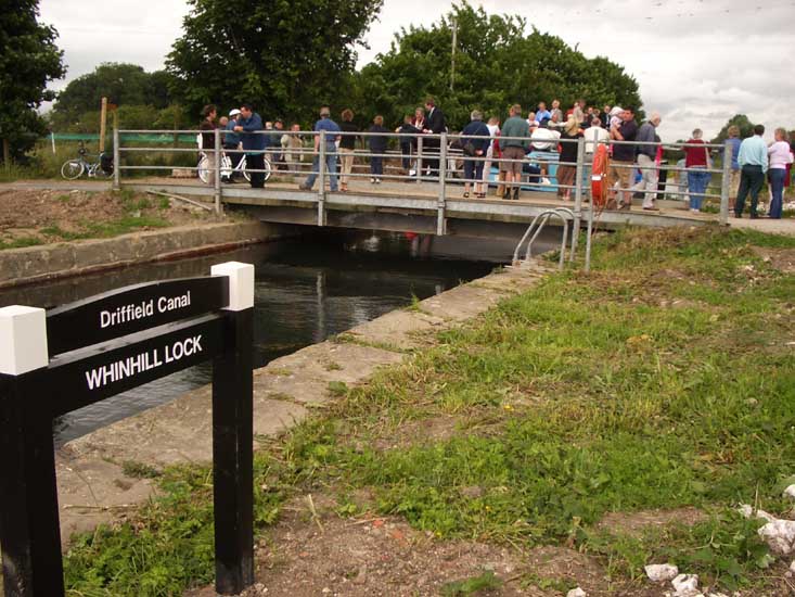
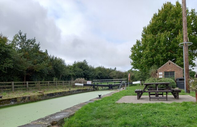
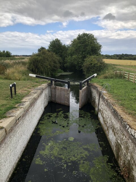
Whinhill Lock

Whinhill Lock was built as part of the Driffield Navigation in the East Riding of Yorkshire, England. It was originally opened in 1770, and was restored...
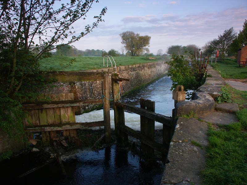
Wansford Lock

Wansford Lock was built as part of the Driffield Navigation in the East Riding of Yorkshire, England. It was opened in 1770, and restored in 2009. It was...

Nearby Amenities

Located within 500m of 54.00414,-0.38091797
The data included in this document is from www.openstreetmap.org. The data is made available under ODbL.

Have you been to Spittle Fields?

Leave your review of Spittle Fields below (or comments, questions and feedback).