Flitton Moor
Downs, Moorland in Bedfordshire
England
Flitton Moor
The requested URL returned error: 429 Too Many Requests
If you have any feedback on the listing, please let us know in the comments section below.
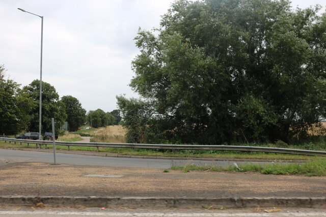
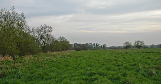
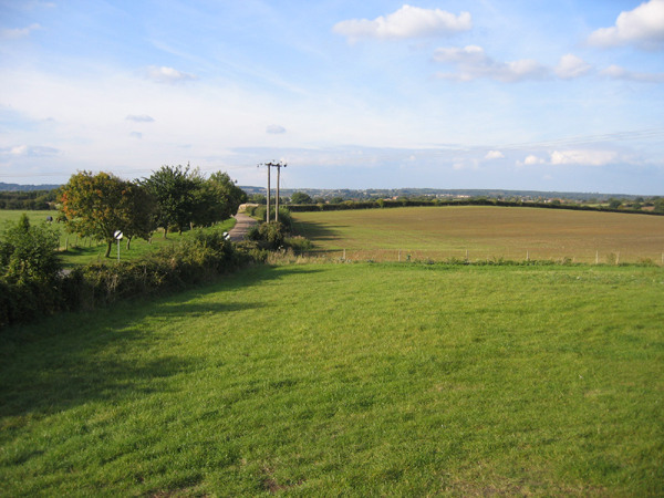
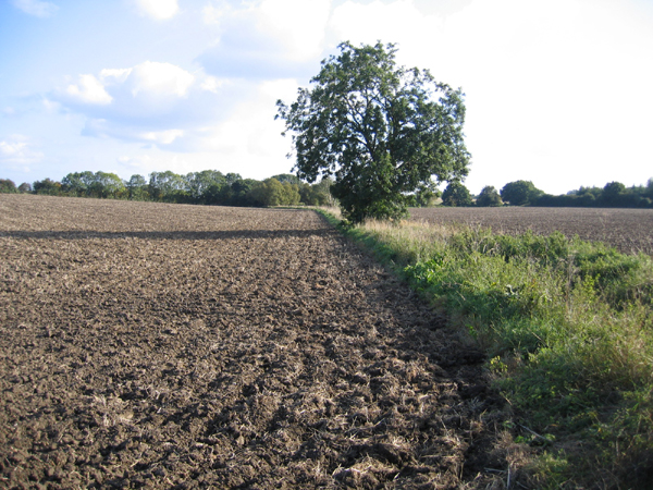
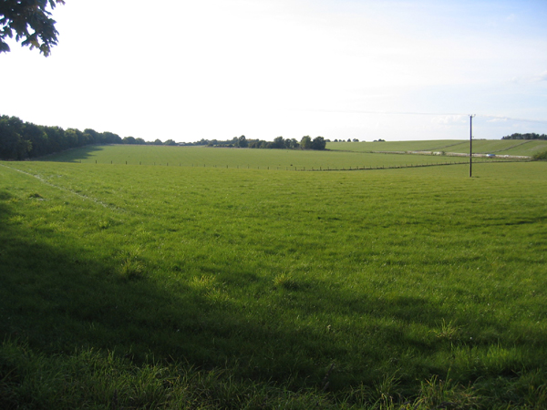
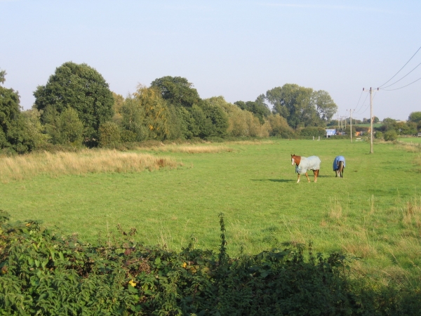
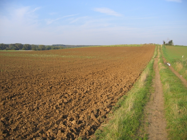
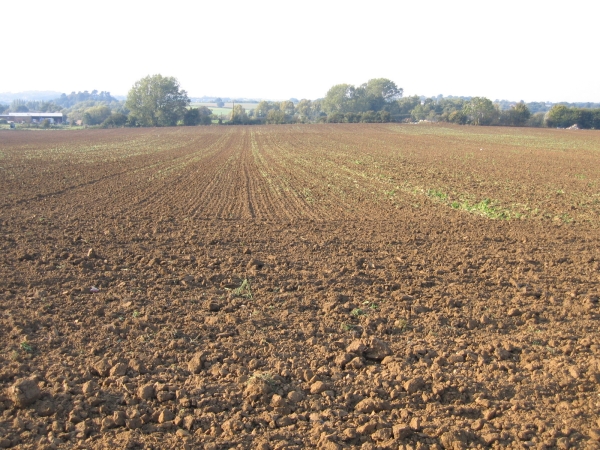
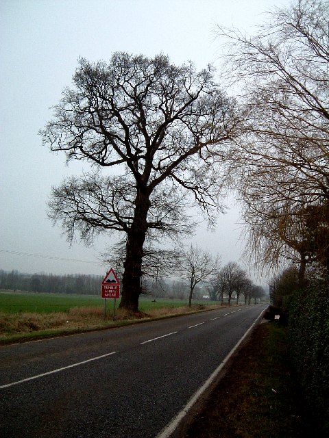
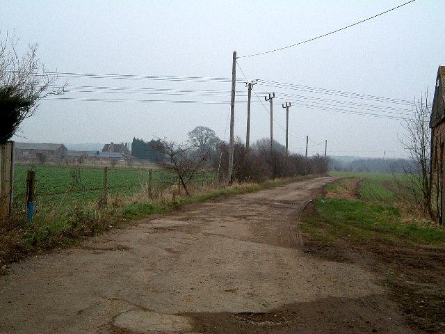
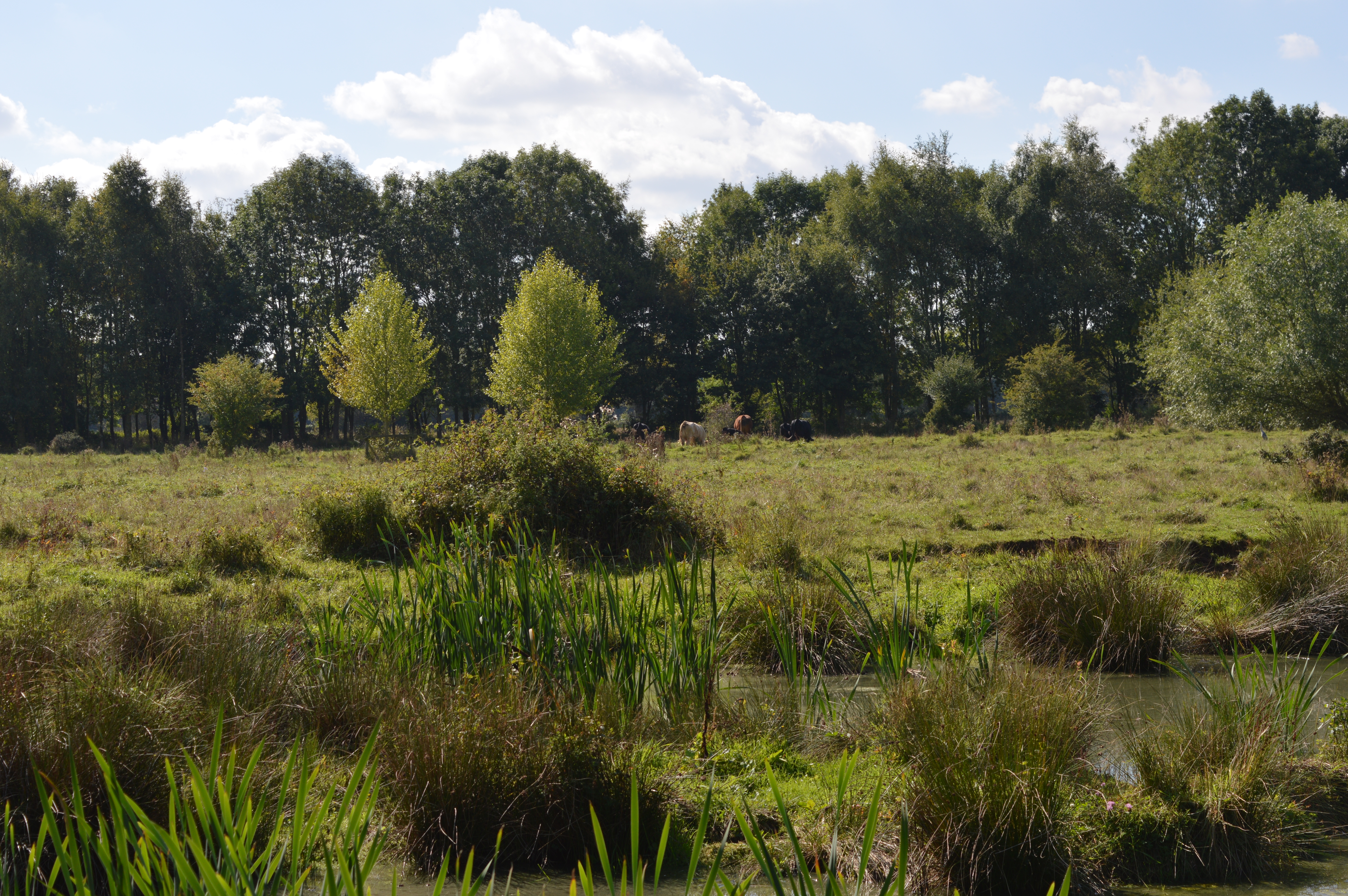
Flitton Moor Images
Images are sourced within 2km of 52.011602/-0.46350266 or Grid Reference TL0535. Thanks to Geograph Open Source API. All images are credited.


Flitton Moor is located at Grid Ref: TL0535 (Lat: 52.011602, Lng: -0.46350266)
Unitary Authority: Central Bedfordshire
Police Authority: Bedfordshire
What 3 Words
///expansion.pits.stooping. Near Greenfield, Bedfordshire
Nearby Locations
Related Wikis
Flitton Moor
Flitton Moor is a 6.9 hectare Local Nature Reserve and County Wildlife Site in Flitton in Bedfordshire. It is owned by Central Bedfordshire Council and...

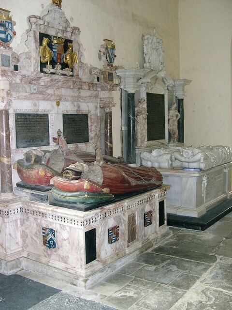
De Grey Mausoleum
The de Grey Mausoleum in Flitton, Bedfordshire, England, is one of the largest sepulchral chapels in the country. The mausoleum contains over twenty monuments...

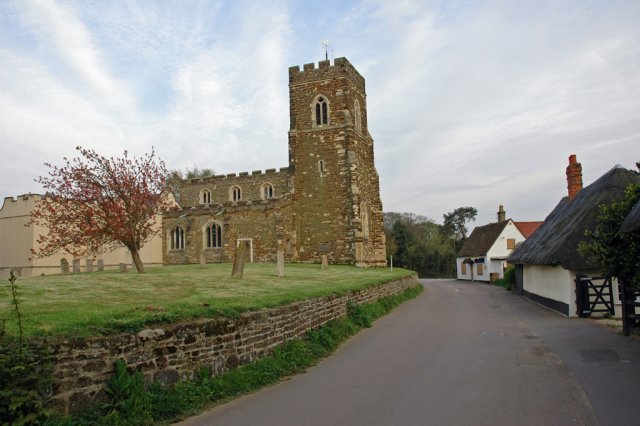
Flitton
Flitton (Flichtam, Fllite, Flute) is a village and former civil parish, now in the parish of Flitton and Greenfield, in the Central Bedfordshire district...

Ruxox Cell
Ruxox Cell (sometimes spelled Rokesac) was a moated chapel, or monastic cell, established in the twelfth century in the parish of Flitwick in Bedfordshire...
Nearby Amenities
Located within 500m of 52.011602,-0.46350266Have you been to Flitton Moor?
Leave your review of Flitton Moor below (or comments, questions and feedback).