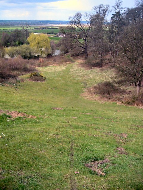
Houghton Park
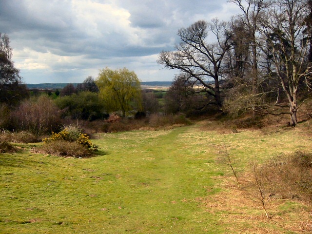
Downs, Moorland in Bedfordshire
England
Houghton Park
The requested URL returned error: 429 Too Many Requests
If you have any feedback on the listing, please let us know in the comments section below.
Houghton Park Images
Images are sourced within 2km of 52.046081/-0.4841356 or Grid Reference TL0439. Thanks to Geograph Open Source API. All images are credited.


Houghton Park is located at Grid Ref: TL0439 (Lat: 52.046081, Lng: -0.4841356)
Unitary Authority: Central Bedfordshire
Police Authority: Bedfordshire
What 3 Words
///hires.raft.hits. Near Houghton Conquest, Bedfordshire
Nearby Locations
Related Wikis
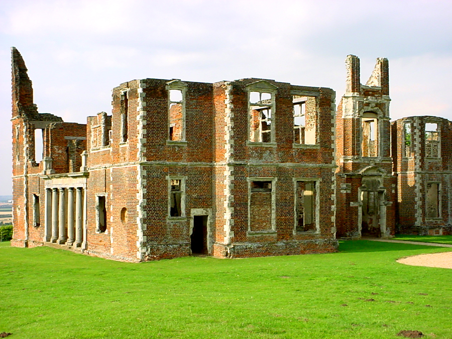
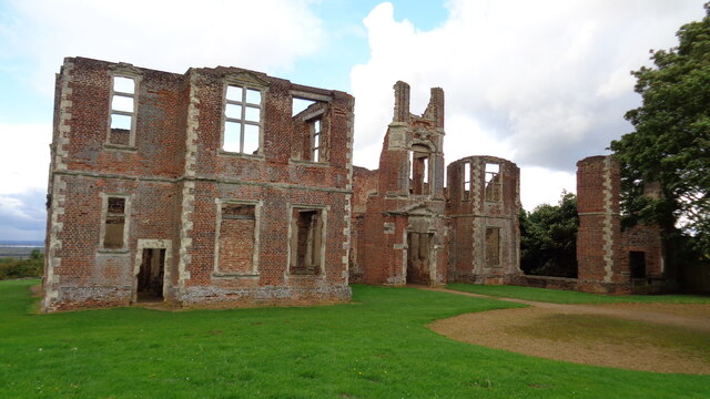
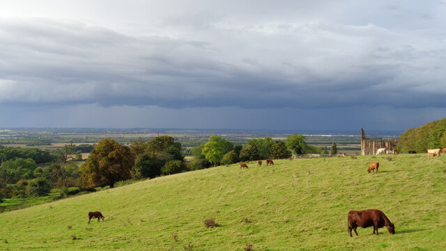
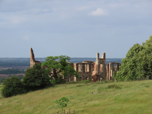
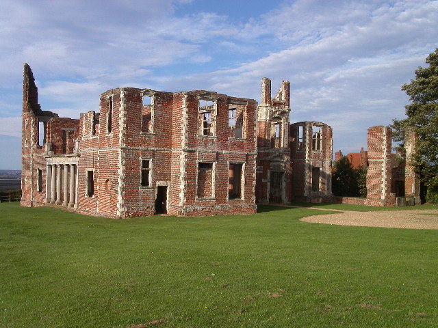
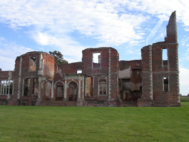
Houghton House
Houghton House is a ruined mansion house in the parish of Houghton Conquest, Bedfordshire. It is a Grade I listed building, positioned above the surrounding...

Kings Wood and Glebe Meadows, Houghton Conquest
Kings Wood and Glebe Meadows is a 36.1-hectare (89-acre) Site of Special Scientific Interest in Houghton Conquest in Bedfordshire. A local teenage boy...

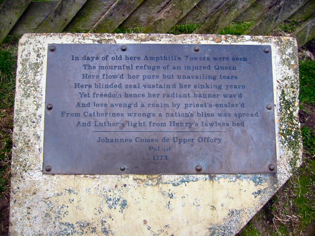
Ampthill Park
Ampthill Park and Ampthill Park House is a country estate in Ampthill, Bedfordshire, England. The park was opened to the public after the Second World...

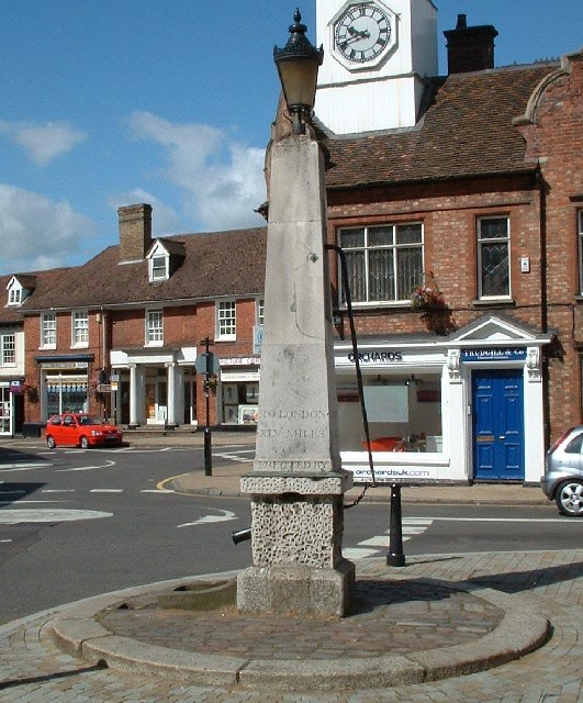
How End
How End is a hamlet located in the Central Bedfordshire district of Bedfordshire, England. The settlement is close to the larger villages of Stewartby...
Nearby Amenities
Located within 500m of 52.046081,-0.4841356Have you been to Houghton Park?
Leave your review of Houghton Park below (or comments, questions and feedback).