Valley Park
Downs, Moorland in Surrey Guildford
England
Valley Park
Valley Park, Surrey, also known as Downs Moorland, is a picturesque area located in the southeastern part of England. Situated in the county of Surrey, it is known for its natural beauty and serene atmosphere. Spanning over a vast landscape, Valley Park offers a diverse range of outdoor activities for visitors and residents alike.
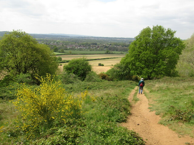
The park comprises rolling hills, expansive green meadows, and dense woodlands, making it an ideal destination for nature enthusiasts. One of the highlights of the area is the stunning valley that gives the park its name. This valley is surrounded by the majestic North Downs, providing breathtaking views for hikers and nature lovers.
Valley Park is also home to a wide variety of wildlife, including deer, rabbits, and numerous bird species. This makes it a popular spot for birdwatching and wildlife photography. The park is well-maintained, with designated trails and picnic areas, allowing visitors to enjoy a peaceful day out surrounded by nature.
In addition to its natural beauty, Valley Park offers several recreational facilities, including tennis courts, playgrounds, and sports fields. These amenities cater to both children and adults, promoting an active and healthy lifestyle within the community.
The park is conveniently located near residential areas, providing easy access for locals. It also attracts visitors from surrounding towns and cities, who come to enjoy its tranquility and escape the hustle and bustle of urban life.
Overall, Valley Park, Surrey, is a captivating destination that showcases the true essence of the English countryside. With its stunning landscapes, abundant wildlife, and recreational facilities, it offers a delightful experience for anyone seeking a connection with nature.
If you have any feedback on the listing, please let us know in the comments section below.
Valley Park Images
Images are sourced within 2km of 51.215692/-0.55101118 or Grid Reference TQ0147. Thanks to Geograph Open Source API. All images are credited.
Valley Park is located at Grid Ref: TQ0147 (Lat: 51.215692, Lng: -0.55101118)
Administrative County: Surrey
District: Guildford
Police Authority: Surrey
What 3 Words
///luxury.angel.units. Near Chilworth, Surrey
Nearby Locations
Related Wikis

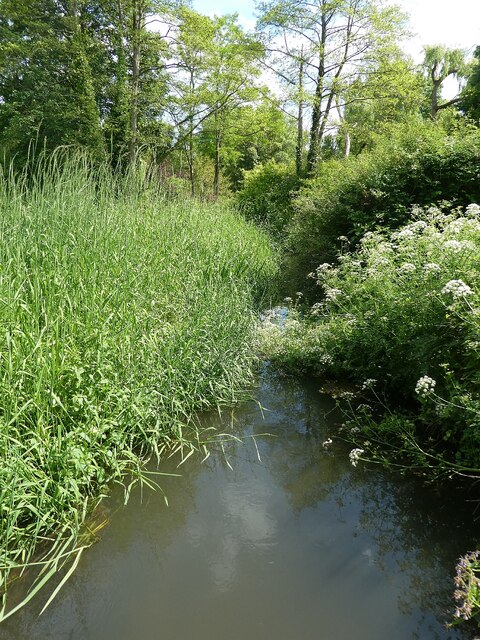
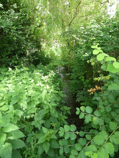
River Tillingbourne
The River Tillingbourne (also known as the Tilling Bourne) runs along the south side of the North Downs and joins the River Wey at Guildford. Its source...

Chilworth, Surrey
Chilworth is a village in the Guildford borough of Surrey, England. It is located in the Tillingbourne valley, southeast of Guildford. == Geography... ==

St Martha, Surrey
St Martha is a hillside, largely wooded, small civil parish in the Guildford borough of Surrey towards the narrower part of the west half of the North...

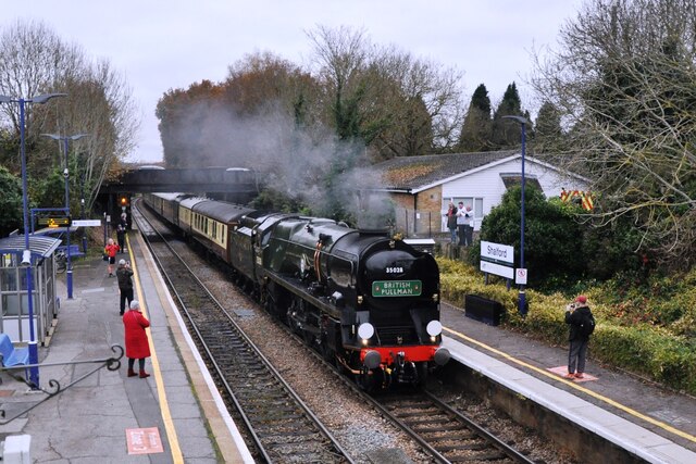
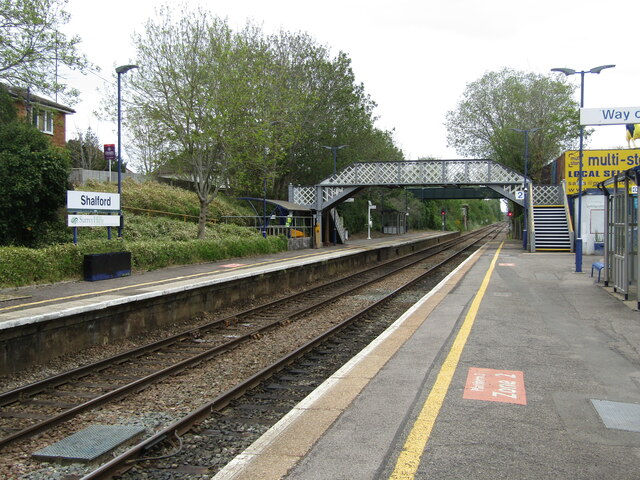
Shalford railway station
Shalford railway station serves the village of Shalford, Surrey, England. The station, and all trains serving it, are operated by Great Western Railway...

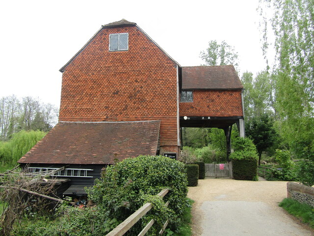
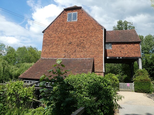
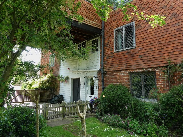
Shalford Mill
Shalford Mill is an 18th-century Grade II* listed watermill located on the River Tillingbourne in Shalford, near Guildford, Surrey, England. In 1932, the...

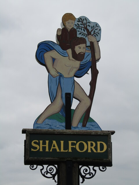
Shalford, Surrey
Shalford is a village and civil parish in Surrey, England on the A281 Horsham road immediately south of Guildford. It has a railway station which is between...

Chinthurst Hill
Chinthurst Hill is a 17.2-hectare (43-acre) Local Nature Reserve south of Guildford in Surrey. It is owned by Surrey County Council and managed by Surrey...
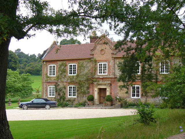
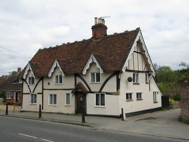
Chilworth Manor, Surrey
Chilworth Manor is a historic country house located midway between Chilworth, Surrey and St Martha's Hill to the north. The manor is grade II listed by...
Nearby Amenities
Located within 500m of 51.215692,-0.55101118Have you been to Valley Park?
Leave your review of Valley Park below (or comments, questions and feedback).