Bury Common

Downs, Moorland in Sussex Chichester

England

Bury Common

View north over the flood plain to the west of Amberley I took this photo from a point a little to the north of the public footpath leading west from Amberley.
View north over the flood plain to the west of Amberley Credit: Ian Cunliffe

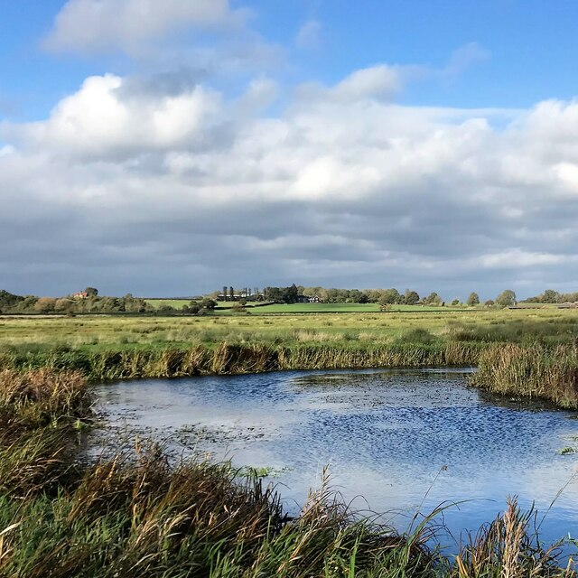
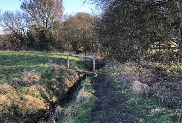
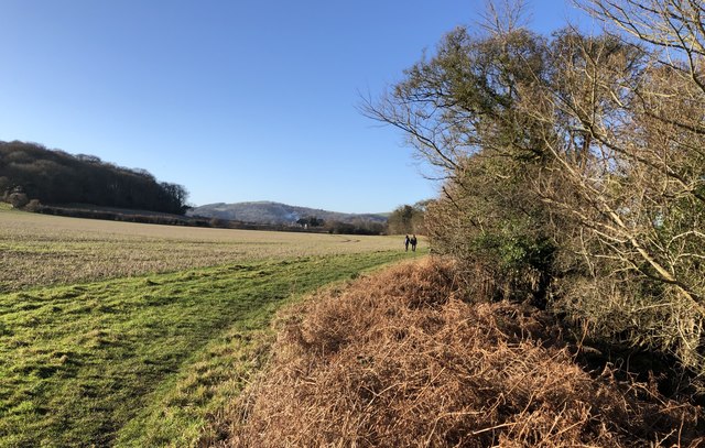
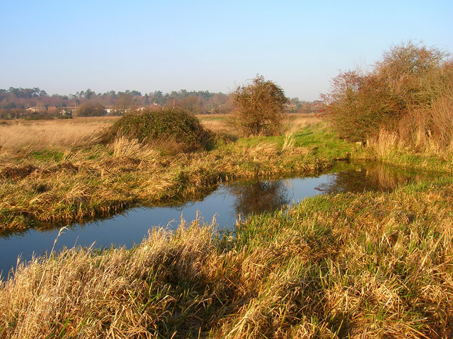
Bury Common, situated in the beautiful county of Sussex, England, is a captivating area known for its stunning natural landscapes and rich biodiversity. Nestled within the South Downs National Park, it encompasses vast stretches of enchanting moorland, rolling hills, and serene valleys.

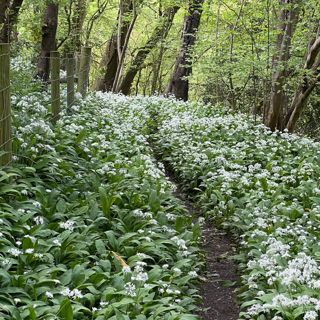
Covering an extensive area of over 500 acres, Bury Common boasts a diverse range of flora and fauna, making it an ideal destination for nature enthusiasts and wildlife lovers. The landscape is dominated by heather-covered moors, interspersed with patches of woodland, gorse bushes, and picturesque streams. The vibrant colors of purple heather in bloom during the summer months provide a breathtaking sight that attracts visitors from far and wide.

The common is home to a variety of wildlife species, including iconic birds such as skylarks, stonechats, and meadow pipits that can be spotted soaring through the clear blue skies. The area is also inhabited by rabbits, deer, and, if one is lucky, even the elusive adder snake.

For those seeking outdoor activities, Bury Common offers numerous opportunities for walking, cycling, and horse riding, with well-maintained trails and paths crisscrossing the area. These paths provide breathtaking views of the surrounding countryside and the distant English Channel.

Overall, Bury Common is a true gem in Sussex's natural heritage, offering visitors a chance to immerse themselves in the tranquil beauty of the downs and moorland, while experiencing the rich wildlife that thrives in this unique ecosystem.

If you have any feedback on the listing, please let us know in the comments section below.
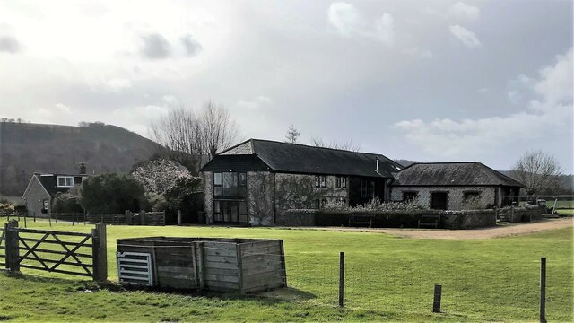
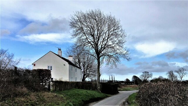
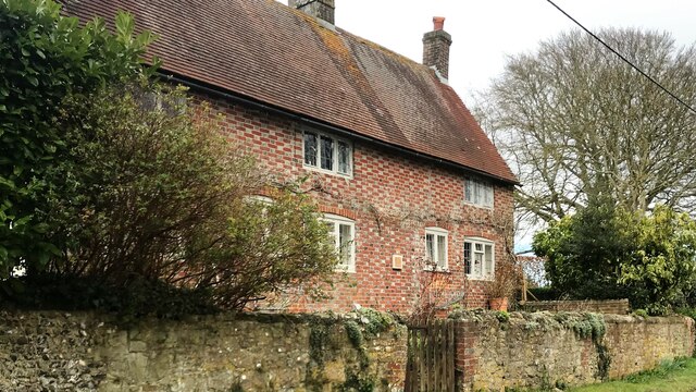
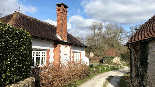
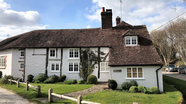
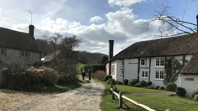
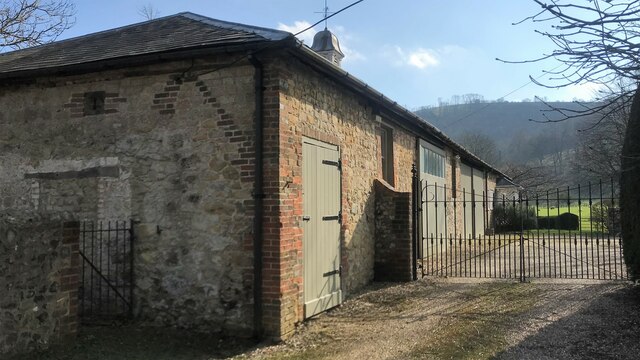
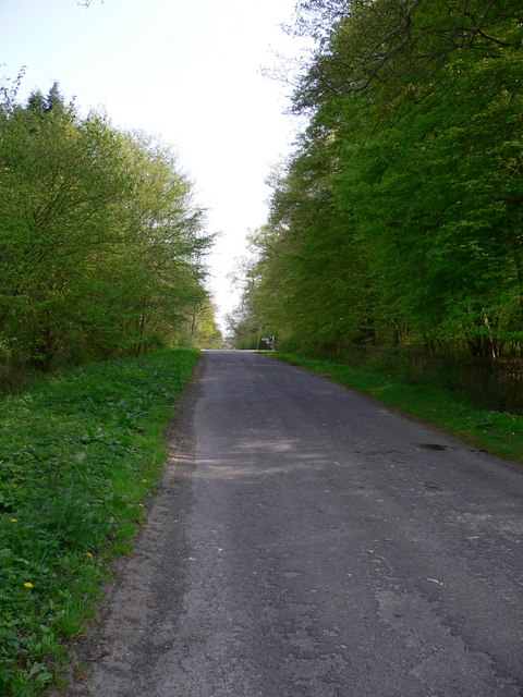
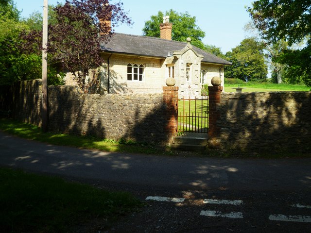
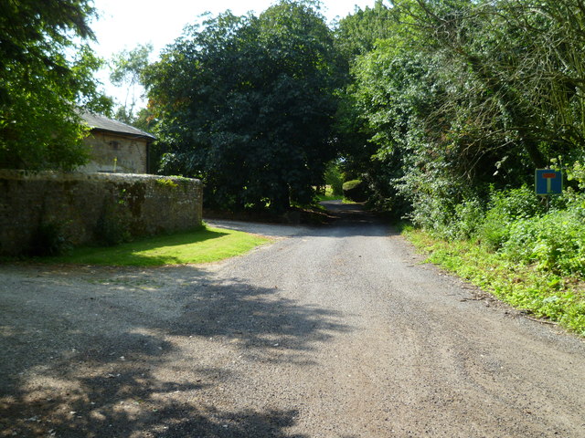
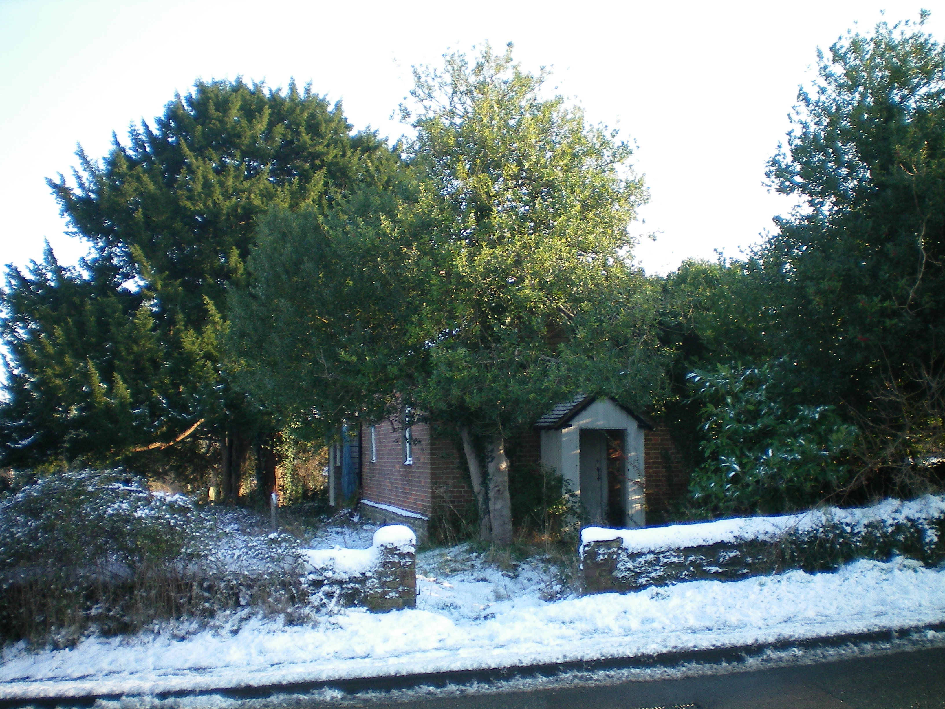
Bury Common Images

Images are sourced within 2km of 50.919518/-0.56426973 or Grid Reference TQ0114. Thanks to Geograph Open Source API. All images are credited.

View north over the flood plain to the west of Amberley I took this photo from a point a little to the north of the public footpath leading west from Amberley.
View north over the flood plain to the west of Amberley
I took this photo from a point a little to the north of the public footpath leading west from Amberley.
Daffodils in Bury Churchyard
Sydenham Cottage This cottage seemed unlived-in - which, I imagine, is unusual in a prosperous village like West Burton.
Sydenham Cottage
This cottage seemed unlived-in - which, I imagine, is unusual in a prosperous village like West Burton.
Wild garlic by the West Sussex Literary Trail There was an abundance of wild garlic (ramsons) hereabouts - though oddly you could hardly smell it. I guess the strength of the smell depends on the flowering stage that the plant has reached?
Wild garlic by the West Sussex Literary Trail
There was an abundance of wild garlic (ramsons) hereabouts - though oddly you could hardly smell it. I guess the strength of the smell depends on the flowering stage that the plant has reached?
Footbridge over small stream The footbridge carries the West Sussex Literary Trail across a small stream on the way to West Burton.
Footbridge over small stream
The footbridge carries the West Sussex Literary Trail across a small stream on the way to West Burton.
Fogdens Cottage The cottage is a Grade II listed building. See <span class="nowrap"><a title="https://historicengland.org.uk/listing/the-list/list-entry/1026543" rel="nofollow ugc noopener" href="https://historicengland.org.uk/listing/the-list/list-entry/1026543">Link</a><img style="margin-left:2px;" alt="External link" title="External link - shift click to open in new window" src="https://s1.geograph.org.uk/img/external.png" width="10" height="10"/></span>
Fogdens Cottage
The cottage is a Grade II listed building. See LinkExternal link
West Sussex Literary Trail On the trail heading towards Bignor from West Burton.
West Sussex Literary Trail
On the trail heading towards Bignor from West Burton.
Direction Sign – Signpost Located on the west side of the T junction at the entrance to Bignor Park in Bury parish. 3 arms and annulus finial. See also <a title="https://www.geograph.org.uk/photo/1248290" href="https://www.geograph.org.uk/photo/1248290">Link</a>.

Milestone Society National ID: SX_SU9915
Direction Sign – Signpost
Located on the west side of the T junction at the entrance to Bignor Park in Bury parish. 3 arms and annulus finial. See also Link. Milestone Society National ID: SX_SU9915
Hadworth Farmhouse Bignor Hill can be seen in the background.
Hadworth Farmhouse
Bignor Hill can be seen in the background.
Newhouse - on the road between Bignor and West Burton
House in West Burton
Bridleway approaching West Burton from the south
House on the west side of West Burton village
Bridleway heading towards the Downs from West Burton
Building on the SW side of West Burton village I'm not sure what this building is. It looks like it may be (or may have been) stables.
Building on the SW side of West Burton village
I'm not sure what this building is. It looks like it may be (or may have been) stables.
The road by Bowler's Crab Wood looking south The sign at the road junction with Bignor Park Road can be seen ahead.
The road by Bowler's Crab Wood looking south
The sign at the road junction with Bignor Park Road can be seen ahead.
Cottage in West Burton A picture taken two years earlier is at <a title="https://www.geograph.org.uk/photo/1407735" href="https://www.geograph.org.uk/photo/1407735">Link</a>.
Cottage in West Burton
A picture taken two years earlier is at Link.
Towards the end of the road at West Burton This road is shortly to reach the last buildings and become a footpath.
Towards the end of the road at West Burton
This road is shortly to reach the last buildings and become a footpath.
Show me another place!

Bury Common is located at Grid Ref: TQ0114 (Lat: 50.919518, Lng: -0.56426973)

Administrative County: West Sussex

District: Chichester

Police Authority: Sussex

What 3 Words

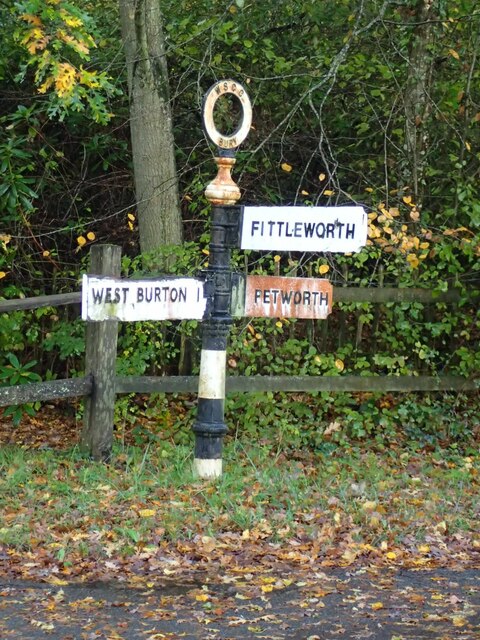
///remaining.nutty.unspoiled. Near Pulborough, West Sussex

Nearby Locations

Bury Common

Related Wikis

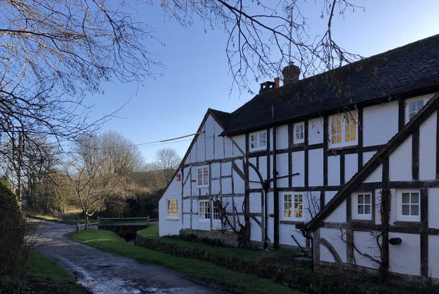
West Burton, West Sussex

West Burton is a small hamlet in the Parish of Bury and the Chichester district of West Sussex, England. It lies between Bignor and Bury on the Lower Greensand...

Bury, West Sussex

Bury is a village and civil parish in the Chichester district of West Sussex, England. It is located on the A29 road, around 5 miles (8 km) south-west...

Dorset House School

Dorset House School is a co-educational preparatory school near Pulborough in West Sussex, England. == History == The school was founded in 1784 as Totteridge...

Watersfield

Watersfield is a hamlet in the Horsham District of West Sussex, England. It lies on the A29 road 3.1 miles (5 km) southwest of Pulborough. At the 2011...
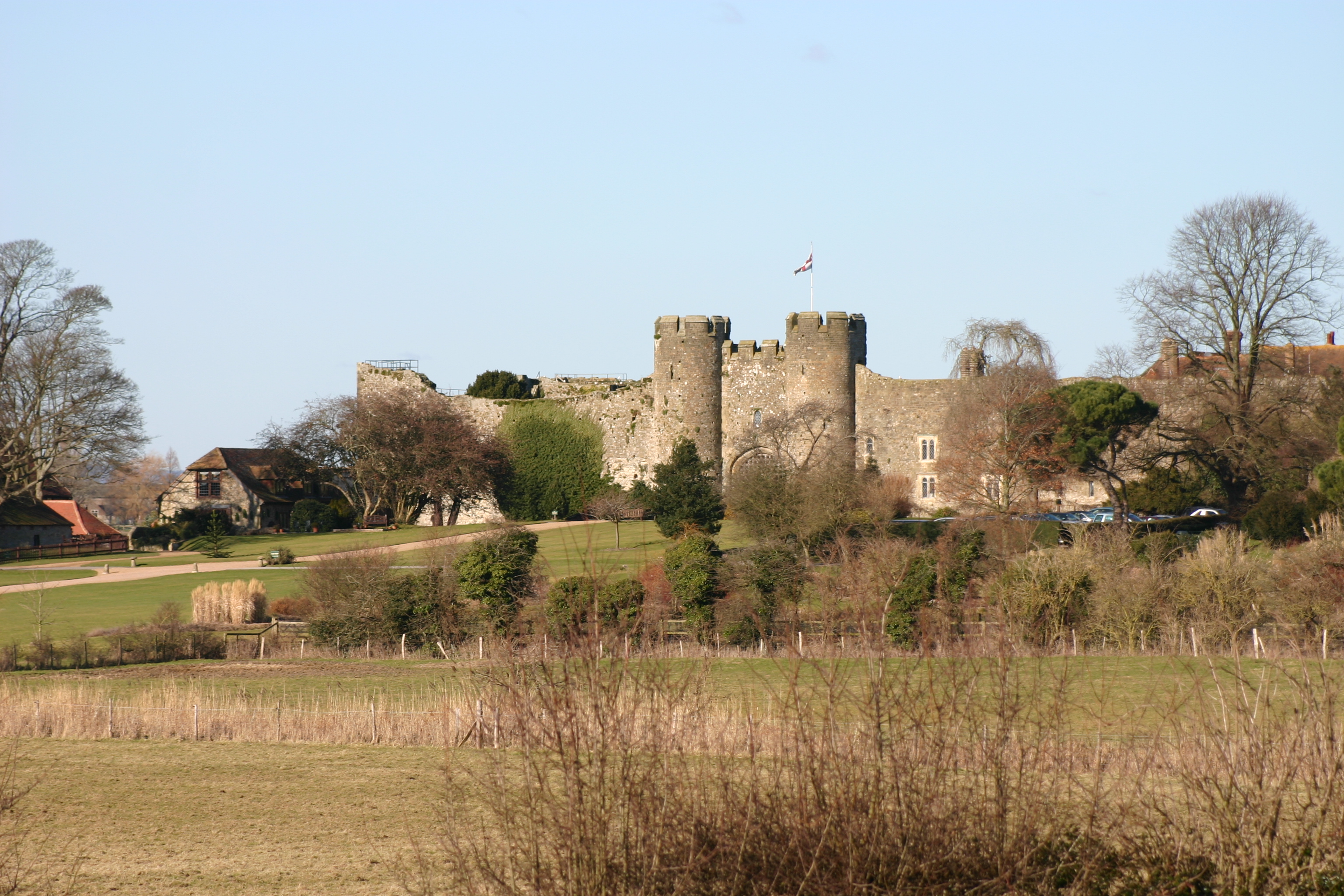
Amberley Castle

Amberley Castle stands in the village of Amberley, West Sussex (grid reference TQ027132). The castle was erected as a 12th-century manor house and fortified...

Waltham Brooks

Waltham Brooks is a 47.4-hectare (117-acre) biological Site of Special Scientific Interest south-west of Pulborough in West Sussex. It is owned and managed...

Bignor Roman Villa

Bignor Roman Villa is a large Roman courtyard villa which has been excavated and put on public display on the Bignor estate in the English county of West...

Bury Hill, Arundel

Bury Hill is an area of West Sussex, England, north of Arundel and southwest of Bury. In the 18th century, its name may have sometimes been spelled Berry...

Nearby Amenities

Located within 500m of 50.919518,-0.56426973
Southview Farm
Landuse: farm
Note Retag: CS #48756035
Lat/Long: 50.9160082/-0.5656743
Bus Stop
The Hollow
Bus: yes
Naptan AtcoCode: 4400LH0331
Naptan Bearing: N
Naptan BusStopType: CUS
Naptan CommonName: The Hollow
Naptan Indicator: o/s Southview Farm
Naptan Landmark: Southview Farm
Naptan NaptanCode: wsxdaptp
Naptan Street: Bury Road A29
Naptan Verified: no
Public Transport: platform
Shelter: no
Source: naptan_import
Lat/Long: 50.9158665/-0.5628567
Bus Stop
A29
Bus: yes
Naptan AtcoCode: 4400LH0772
Naptan Bearing: N
Naptan BusStopType: CUS
Naptan CommonName: A29
Naptan Indicator: HAR
Naptan Landmark: Hail & Ride
Naptan NaptanCode: wsxdtwtw
Naptan Street: A29
Naptan Verified: no
Public Transport: platform
Source: naptan_import
Lat/Long: 50.9219418/-0.5647184
Bus Stop
Recreation Ground
Naptan AtcoCode: 4400LH0896
Naptan Bearing: N
Naptan BusStopType: CUS
Naptan CommonName: Recreation Ground
Naptan Indicator: opp
Naptan Landmark: Recreation Ground
Naptan NaptanCode: wsxdtgaj
Naptan Street: Bury Road
Naptan Verified: no
Source: naptan_import
Lat/Long: 50.9189435/-0.5644265
Bus Stop
Recreation Ground
Naptan AtcoCode: 4400LH0897
Naptan Bearing: S
Naptan BusStopType: CUS
Naptan CommonName: Recreation Ground
Naptan Indicator: adj
Naptan Landmark: Recreation Ground
Naptan NaptanCode: wsxdtgam
Naptan Street: Bury Road
Naptan Verified: no
Source: naptan_import
Lat/Long: 50.9189599/-0.564298
Bus Stop
A29
Bus: yes
Naptan AtcoCode: 4400LH773
Naptan Bearing: S
Naptan BusStopType: CUS
Naptan CommonName: A29
Naptan Indicator: HAR
Naptan Landmark: Hail & Ride
Naptan NaptanCode: wsxdwada
Naptan Street: A29
Naptan Verified: no
Public Transport: platform
Source: naptan_import
Lat/Long: 50.9219392/-0.5645051
Barrier: stile
Lat/Long: 50.9172619/-0.5678799
Barrier: stile
Lat/Long: 50.9184933/-0.5695809
Barrier: stile
Lat/Long: 50.9191827/-0.5700576
Barrier: stile
Lat/Long: 50.9200476/-0.5709492
Charlie's Farm Shop
Addr City: Pulborough
Addr Housename: Southview Farm
Addr Place: Bury Common
Addr Postcode: RH20 1NP
Addr Suburb: Bury
Fhrs Authority: Chichester
Fhrs Id: 198557
Fhrs Local Authority Id: 12/00016/FOOD
Opening Hours: Tu-Sa 09:00-18:00; Su 10:00-16:00
Shop: convenience
Lat/Long: 50.9155069/-0.5648601
Post Box
Collection Plate: CP7
Collection Times: Mo-Fr 16:30; Sa 08:45
Operator: Royal Mail
Post Box Type: lamp
Ref: RH20 66
Royal Cypher: EIIR
Royal Cypher Wikidata: Q33102113
Lat/Long: 50.9176191/-0.5632968
Fuel
Turners Garage
Addr City: Pulborough
Addr Hamlet: Bury
Addr Postcode: RH20 1NP
Addr Street: Bury Common
Brand: Murco
Brand Wikidata: Q16998281
Fhrs Authority: Chichester
Fhrs Id: 147936
Fhrs Local Authority Id: 92/01813/FOOD
Lat/Long: 50.917733/-0.5635428
The data included in this document is from www.openstreetmap.org. The data is made available under ODbL.

Have you been to Bury Common?

Leave your review of Bury Common below (or comments, questions and feedback).