Watersfield Common

Downs, Moorland in Sussex Horsham

England

Watersfield Common

Daffodils in Coates Churchyard
Daffodils in Coates Churchyard Credit: Basher Eyre

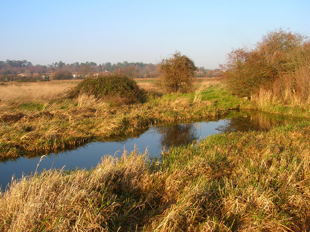
Watersfield Common, located in West Sussex, England, is a picturesque area encompassing both downs and moorland landscapes. Spanning approximately 275 acres, this common land is a haven for nature enthusiasts and offers stunning views of the surrounding countryside.

The common is characterized by its rolling hills and open grasslands, which are interspersed with patches of heather and gorse. These heathland areas provide a habitat for a variety of bird species, including skylarks and meadow pipits, which can often be seen and heard throughout the year.

Watersfield Common is also home to a diverse range of flora, with wildflowers such as purple orchids, harebells, and violets dotting the landscape during the spring and summer months. The common's varied topography, including wooded areas and small ponds, adds to its biodiversity, attracting an array of insects, amphibians, and small mammals.

The common is a popular destination for outdoor activities such as walking, hiking, and picnicking. Several footpaths and bridleways crisscross the area, offering visitors the opportunity to explore the natural beauty of the downs and moorland at their leisure. Additionally, the common is well-suited for dog walking, providing ample space for both exercise and relaxation.

With its tranquil atmosphere and stunning vistas, Watersfield Common is a cherished natural resource in Sussex. Whether it is for enjoying the vibrant flora and fauna or simply appreciating the peacefulness of the countryside, this common offers a delightful escape from the hustle and bustle of everyday life.

If you have any feedback on the listing, please let us know in the comments section below.

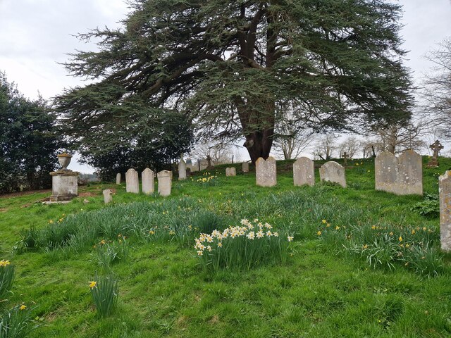
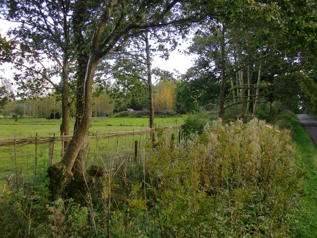
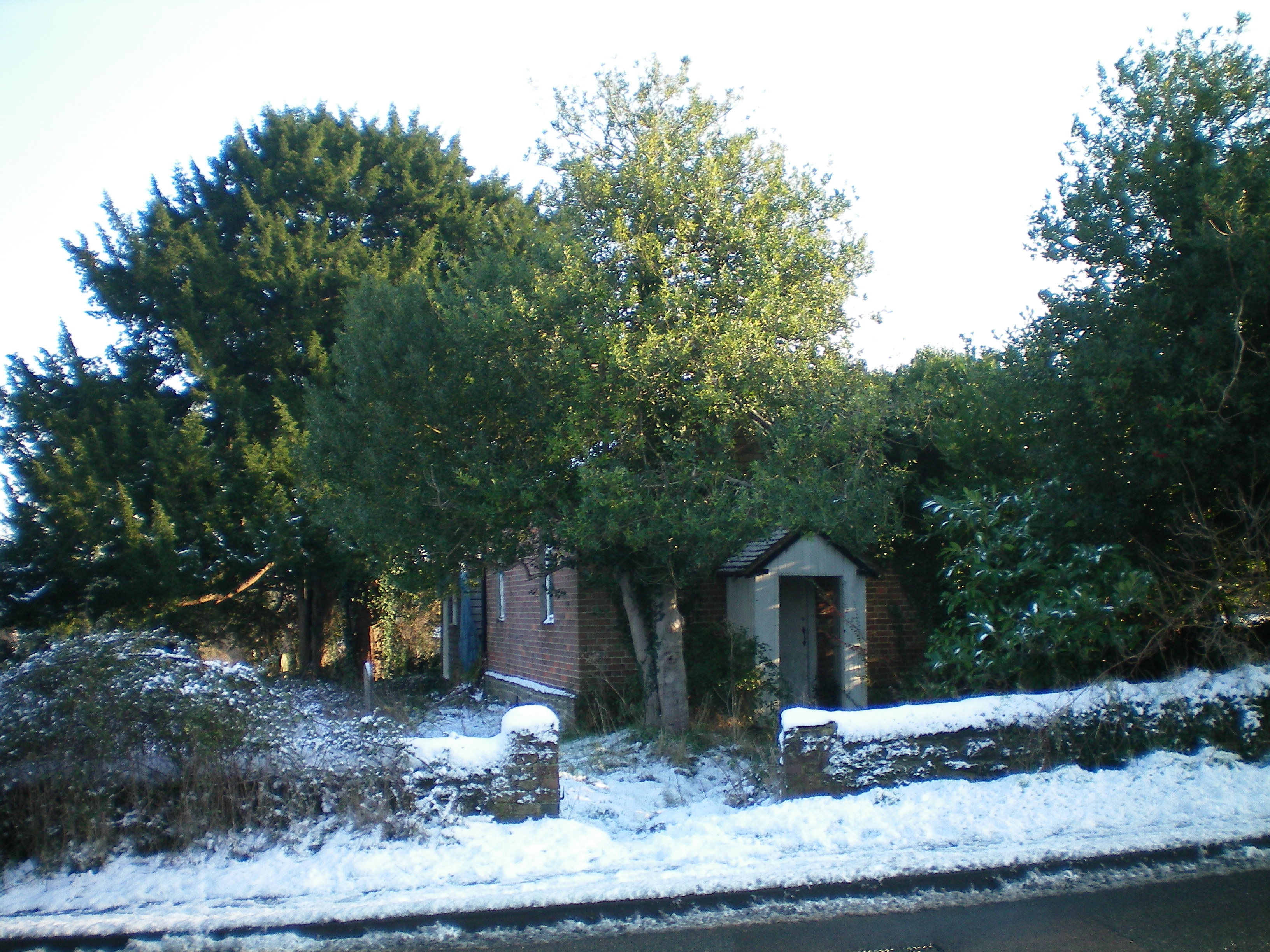
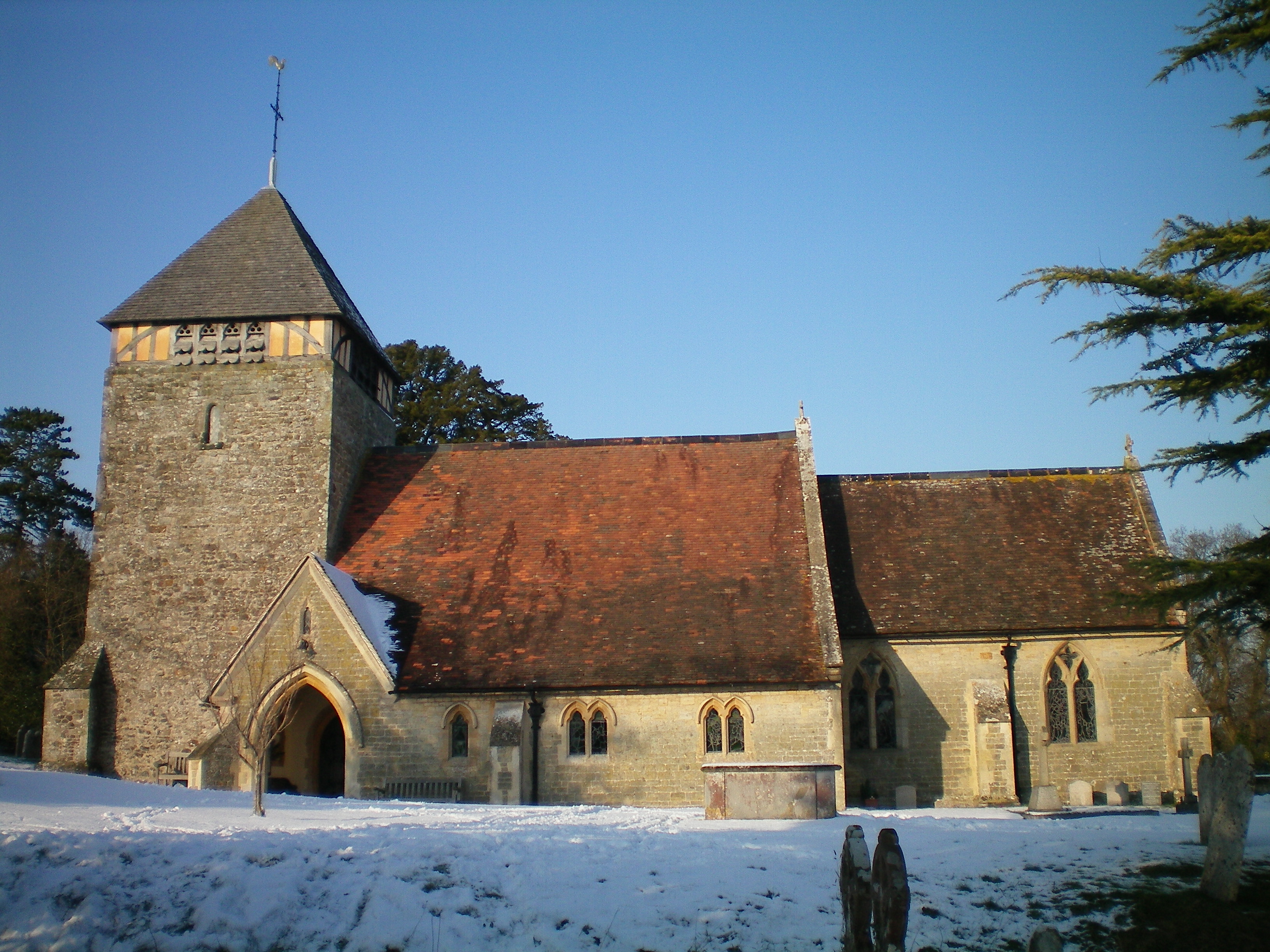
Watersfield Common Images

Images are sourced within 2km of 50.938739/-0.56457456 or Grid Reference TQ0016. Thanks to Geograph Open Source API. All images are credited.

Daffodils in Coates Churchyard
Rush hour in Coates (revisited)
Road and path junction at Coates
Coates Manor House, from the south Seen from the churchyard.
Coates Manor House, from the south
Seen from the churchyard.
Coates Manor House, from the south-east The main structure - built of pale sandstone with brick string-courses - is said to date from the 17th century (Nairn and Pevsner, 'The Buildings of England: Sussex').  Not visible from this angle is the lower, later north wing <a title="https://www.geograph.org.uk/photo/4698969" href="https://www.geograph.org.uk/photo/4698969">Link</a>    built of a more colourful ironstone (similar to the material known in Surrey as Bargate stone).  The listing (rather brief) is to be found here: <span class="nowrap"><a title="http://www.britishlistedbuildings.co.uk/en-300472-coates-manor-house-fittleworth-west-suss#.VhkWGighzo4" rel="nofollow ugc noopener" href="http://www.britishlistedbuildings.co.uk/en-300472-coates-manor-house-fittleworth-west-suss#.VhkWGighzo4">Link</a><img style="margin-left:2px;" alt="External link" title="External link - shift click to open in new window" src="https://s1.geograph.org.uk/img/external.png" width="10" height="10"/></span>

The settlement pattern at Coates is puzzling - a scattered hamlet rather than a village - and I wonder whether there was a more compact settlement in medieval times.
Coates Manor House, from the south-east
The main structure - built of pale sandstone with brick string-courses - is said to date from the 17th century (Nairn and Pevsner, 'The Buildings of England: Sussex'). Not visible from this angle is the lower, later north wing Link built of a more colourful ironstone (similar to the material known in Surrey as Bargate stone). The listing (rather brief) is to be found here: LinkExternal link The settlement pattern at Coates is puzzling - a scattered hamlet rather than a village - and I wonder whether there was a more compact settlement in medieval times.
Coates Manor House According to the Listing, this dates from the early 17th century <span class="nowrap"><a title="http://www.britishlistedbuildings.co.uk/en-300472-coates-manor-house-fittleworth-west-suss#.VhkWGighzo4" rel="nofollow ugc noopener" href="http://www.britishlistedbuildings.co.uk/en-300472-coates-manor-house-fittleworth-west-suss#.VhkWGighzo4">Link</a><img style="margin-left:2px;" alt="External link" title="External link - shift click to open in new window" src="https://s1.geograph.org.uk/img/external.png" width="10" height="10"/></span>
Coates Manor House
According to the Listing, this dates from the early 17th century LinkExternal link
Coates church from the south-east
Coates church and churchyard
Coates church from the west
St Agatha's church from Coates Lane I scrambled up a bank to take this shot over the churchyard wall.
St Agatha's church from Coates Lane
I scrambled up a bank to take this shot over the churchyard wall.
Trees by a ditch I stopped to photograph the French-style plantation of young poplars (seen left) and only then realised that the rank vegetation in the foreground was growing along a roadside ditch - overgrown but still very wet.
Trees by a ditch
I stopped to photograph the French-style plantation of young poplars (seen left) and only then realised that the rank vegetation in the foreground was growing along a roadside ditch - overgrown but still very wet.
Lord's Piece I wonder about the history of this area (now access land).  The impression I get is of heathland that has - at some time in the past - been tidied up, with parkland-style plantings.  A fellow-contributor has likened it to the New Forest <a title="https://www.geograph.org.uk/photo/246257" href="https://www.geograph.org.uk/photo/246257">Link</a> but for me it's Ashdown Forest that comes to mind.
Lord's Piece
I wonder about the history of this area (now access land). The impression I get is of heathland that has - at some time in the past - been tidied up, with parkland-style plantings. A fellow-contributor has likened it to the New Forest Link but for me it's Ashdown Forest that comes to mind.
Coates Manor House, from St Agatha's churchyard
Coates Manor House, north wing
Ponies in Lord's Piece
Car Park at Lord’s Piece
Entrance to the Car Park The entrance way to the car park at Lord’s Piece.
Entrance to the Car Park
The entrance way to the car park at Lord’s Piece.
View of pond from road at Lord’s Piece
Show me another place!

Watersfield Common is located at Grid Ref: TQ0016 (Lat: 50.938739, Lng: -0.56457456)

Administrative County: West Sussex

District: Horsham

Police Authority: Sussex

What 3 Words

///dated.rely.exploring. Near Pulborough, West Sussex

Related Wikis

Watersfield

Watersfield is a hamlet in the Horsham District of West Sussex, England. It lies on the A29 road 3.1 miles (5 km) southwest of Pulborough. At the 2011...

Coldwaltham

Coldwaltham is a village and civil parish in the Horsham District of West Sussex, England. It is divided in two by the A29 road and lies 2.4 miles (3.9...

Fittleworth railway station

Fittleworth railway station served the village of Fittleworth in the county of West Sussex in England. It was on the London Brighton and South Coast Railway...

Waltham Brooks

Waltham Brooks is a 47.4-hectare (117-acre) biological Site of Special Scientific Interest south-west of Pulborough in West Sussex. It is owned and managed...

Coates, West Sussex

Coates is a downland village in the Chichester district of West Sussex, England. Coates lies one mile (1.7 km) southwest from Fittleworth and four miles...

Bignor Park

Bignor Park is a privately owned country house and estate near the village of Bignor, in West Sussex, England, on the edge of the South Downs. The house...

Hardham Priory

Hardham Priory was an Augustinian priory in Hardham, West Sussex, England. It was founded around 1248 by Sir William Dawtrey as a priory of Black Canons...

West Burton, West Sussex

West Burton is a small hamlet in the Parish of Bury and the Chichester district of West Sussex, England. It lies between Bignor and Bury on the Lower Greensand...

Nearby Amenities

Located within 500m of 50.938739,-0.56457456
Barrier: stile
Lat/Long: 50.942701/-0.5613442
The data included in this document is from www.openstreetmap.org. The data is made available under ODbL.

Have you been to Watersfield Common?

Leave your review of Watersfield Common below (or comments, questions and feedback).