Centre Meadow
Downs, Moorland in Bedfordshire
England
Centre Meadow
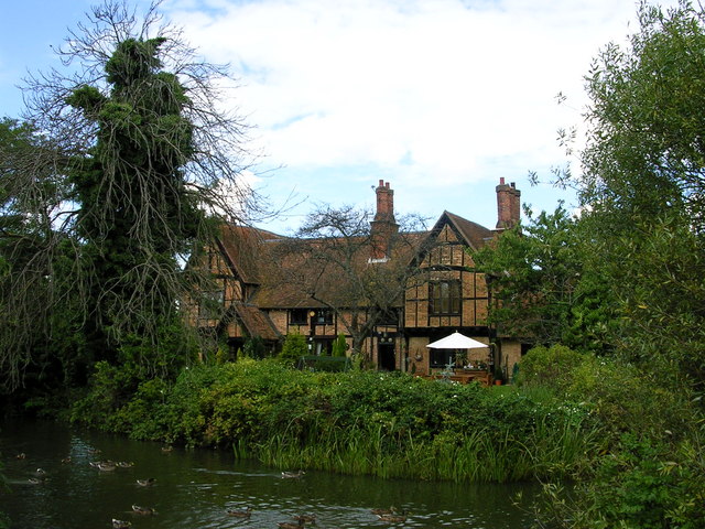
Centre Meadow is a picturesque area located in the county of Bedfordshire, in the heart of England. Situated amidst the stunning Downs and Moorland landscape, this natural beauty spot offers a diverse range of flora and fauna, making it a haven for nature enthusiasts and outdoor lovers.
Covering an expansive area of land, Centre Meadow is characterized by rolling hills, vast open spaces, and rich vegetation. The Downs provide a breathtaking panoramic view, with their lush greenery and undulating terrain. The Moorland, on the other hand, offers a contrasting landscape with its heather-covered hills and rocky outcrops.
The meadow is home to a wide array of plant species, including wildflowers, grasses, and shrubs. The diversity of habitats attracts numerous bird species, making it a popular spot for birdwatching. Visitors can catch a glimpse of birds such as skylarks, meadow pipits, and kestrels, among others.
For those seeking outdoor activities, Centre Meadow offers a range of options. The open spaces are ideal for picnicking and kite-flying, while the trails winding through the meadow are perfect for walking, jogging, or cycling. The natural beauty of the area also makes it a popular spot for photography and painting enthusiasts.
Moreover, Centre Meadow is equipped with facilities such as picnic areas, benches, and designated parking spots, ensuring a comfortable and enjoyable visit for all. Whether it's a peaceful day amidst nature or an active adventure, Centre Meadow in Bedfordshire is an idyllic destination for nature lovers and outdoor enthusiasts alike.
If you have any feedback on the listing, please let us know in the comments section below.
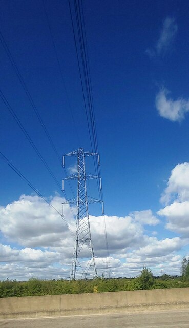
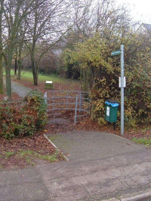
Centre Meadow Images
Images are sourced within 2km of 52.063107/-0.53283691 or Grid Reference TL0041. Thanks to Geograph Open Source API. All images are credited.


Centre Meadow is located at Grid Ref: TL0041 (Lat: 52.063107, Lng: -0.53283691)
Unitary Authority: Central Bedfordshire
Police Authority: Bedfordshire
What 3 Words
///saddens.topic.secrets. Near Marston Moretaine, Bedfordshire
Nearby Locations
Related Wikis

Marston Vale
Marston Vale is an area of Bedfordshire. It lies to the south west of Bedford and Kempston, near Junction 13 of the M1 motorway. Historically it was one...

Marston Moreteyne
Marston Moreteyne (or Marston Moretaine) is a large English village and civil parish located on the A421 between Bedford and Milton Keynes in the county...

Millbrook railway station (Bedfordshire)
Millbrook railway station serves the villages of Millbrook and Marston Moretaine in Bedfordshire, England. It is on the Marston Vale Line, between Stewartby...
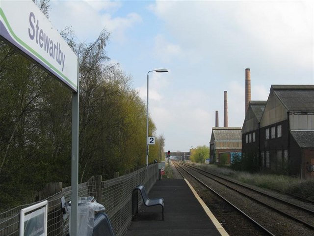
Stewartby railway station
Stewartby railway station is a station on the London Northwestern Railway, which serves the Bedfordshire village of Stewartby in England. It is the nearest...

Kimberley College
Kimberley College (also known as STEM College) is a free school sixth form centre that opened in Stewartby, Bedfordshire, England in April 2014. The college...
Moreteyne Manor
Moreteyne Manor (previously known as Moat Farmhouse) is a 15th-century manor house in Marston Moretaine, Bedfordshire, England. For many years it was used...

Stewartby
Stewartby is a model village and civil parish in Bedfordshire, England, originally built for the workers of the London Brick Company. The village was designed...

Lower Shelton
Lower Shelton is a village in the civil parish of Marston Moreteyne in Bedfordshire, England. It is made of Lower Shelton Road, Stratford Way, The Rickyard...
Nearby Amenities
Located within 500m of 52.063107,-0.53283691Have you been to Centre Meadow?
Leave your review of Centre Meadow below (or comments, questions and feedback).