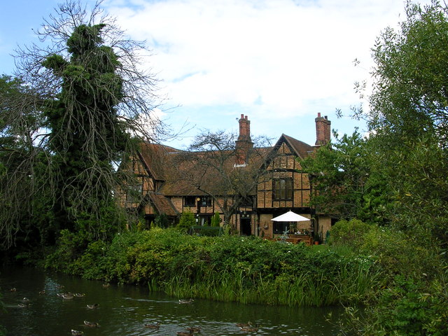
Long Meadow
Downs, Moorland in Bedfordshire
England
Long Meadow
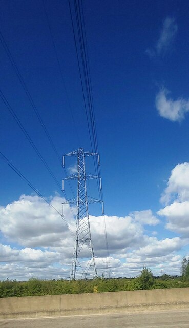
Long Meadow is a picturesque area located in the county of Bedfordshire, England. It is renowned for its stunning downs and expansive moorland, making it a popular destination for nature enthusiasts and outdoor enthusiasts alike. The meadow spans over a vast area, providing ample space for various recreational activities and a peaceful escape from the hustle and bustle of city life.
The downs of Long Meadow are characterized by gently rolling hills covered in lush green grasses and sprinkled with vibrant wildflowers during the spring and summer months. It offers breathtaking panoramic views of the surrounding countryside and is a haven for wildlife, including numerous bird species and small mammals.
The moorland, on the other hand, showcases a diverse landscape with heather-covered hills and marshy areas. It is a rich habitat for rare plant species and provides a habitat for a wide range of birdlife, including the elusive curlew and golden plover.
Visitors to Long Meadow can enjoy activities such as hiking, birdwatching, and picnicking, as well as capturing stunning photographs of the scenic vistas. The area is crisscrossed by well-maintained trails and footpaths, allowing visitors to explore the meadow at their own pace.
Long Meadow is easily accessible, with a nearby car park and public transportation options available. It is a tranquil and serene location, perfect for those seeking solace in nature or looking to indulge in outdoor pursuits amidst a beautiful natural setting.
If you have any feedback on the listing, please let us know in the comments section below.
Long Meadow Images
Images are sourced within 2km of 52.061795/-0.53868567 or Grid Reference TL0041. Thanks to Geograph Open Source API. All images are credited.


Long Meadow is located at Grid Ref: TL0041 (Lat: 52.061795, Lng: -0.53868567)
Unitary Authority: Central Bedfordshire
Police Authority: Bedfordshire
What 3 Words
///recorders.taken.pepper. Near Marston Moretaine, Bedfordshire
Nearby Locations
Related Wikis

Marston Vale
Marston Vale is an area of Bedfordshire. It lies to the south west of Bedford and Kempston, near Junction 13 of the M1 motorway. Historically it was one...

Marston Moreteyne
Marston Moreteyne (or Marston Moretaine) is a large English village and civil parish located on the A421 between Bedford and Milton Keynes in the county...

Millbrook railway station (Bedfordshire)
Millbrook railway station serves the villages of Millbrook and Marston Moretaine in Bedfordshire, England. It is on the Marston Vale Line, between Stewartby...
Moreteyne Manor
Moreteyne Manor (previously known as Moat Farmhouse) is a 15th-century manor house in Marston Moretaine, Bedfordshire, England. For many years it was used...
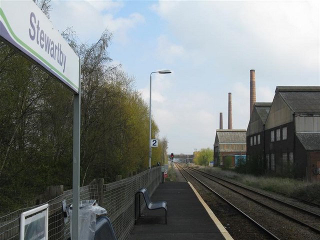
Stewartby railway station
Stewartby railway station is a station on the London Northwestern Railway, which serves the Bedfordshire village of Stewartby in England. It is the nearest...

Kimberley College
Kimberley College (also known as STEM College) is a free school sixth form centre that opened in Stewartby, Bedfordshire, England in April 2014. The college...

Stewartby
Stewartby is a model village and civil parish in Bedfordshire, England, originally built for the workers of the London Brick Company. The village was designed...
Millbrook Proving Ground
Millbrook Proving Ground is an English vehicle testing centre located at Millbrook, Bedfordshire. One of the largest vehicle testing centres in Europe...
Nearby Amenities
Located within 500m of 52.061795,-0.53868567Have you been to Long Meadow?
Leave your review of Long Meadow below (or comments, questions and feedback).