Yorkshire Wolds

Downs, Moorland in Yorkshire

England

Yorkshire Wolds

Harvesting by Wellsprings Drain
Harvesting by Wellsprings Drain Credit: David Brown

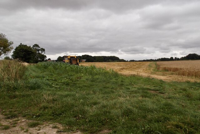
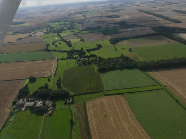
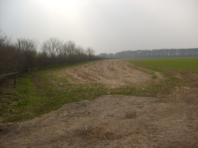
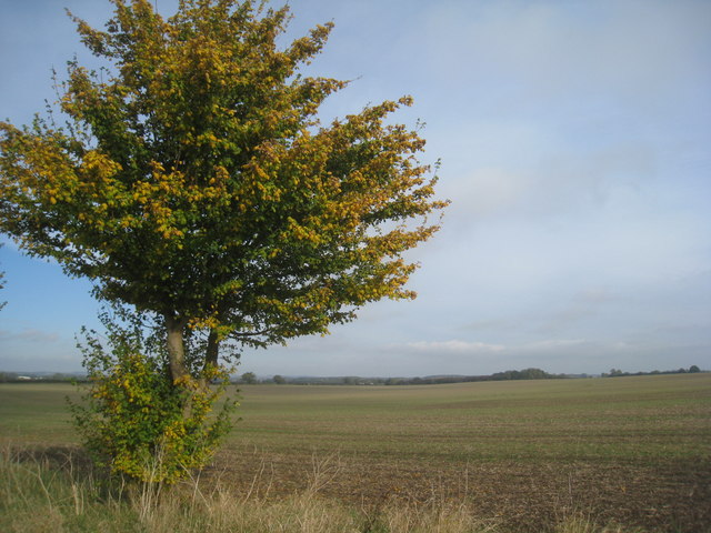
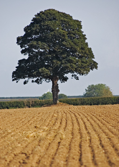
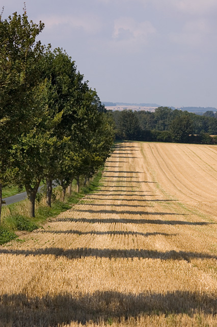
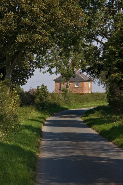
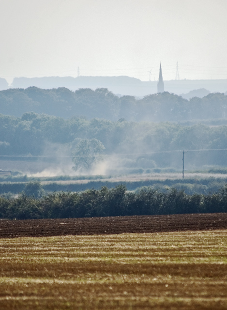
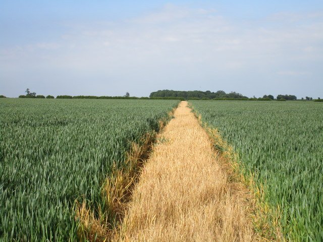
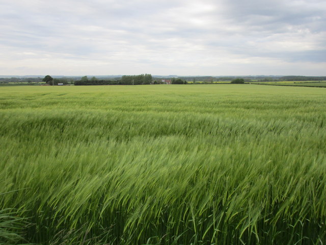
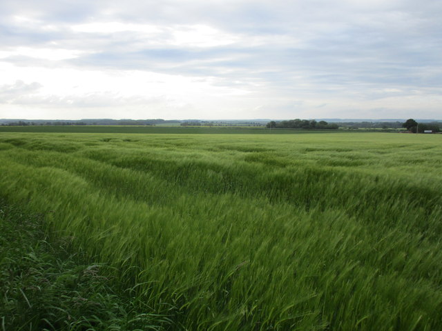
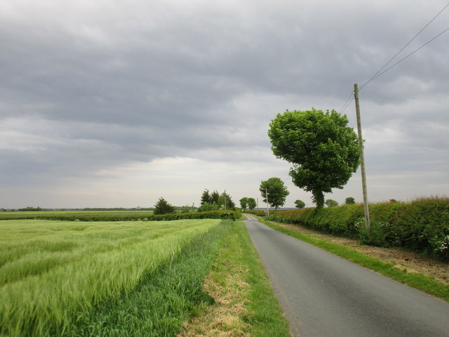
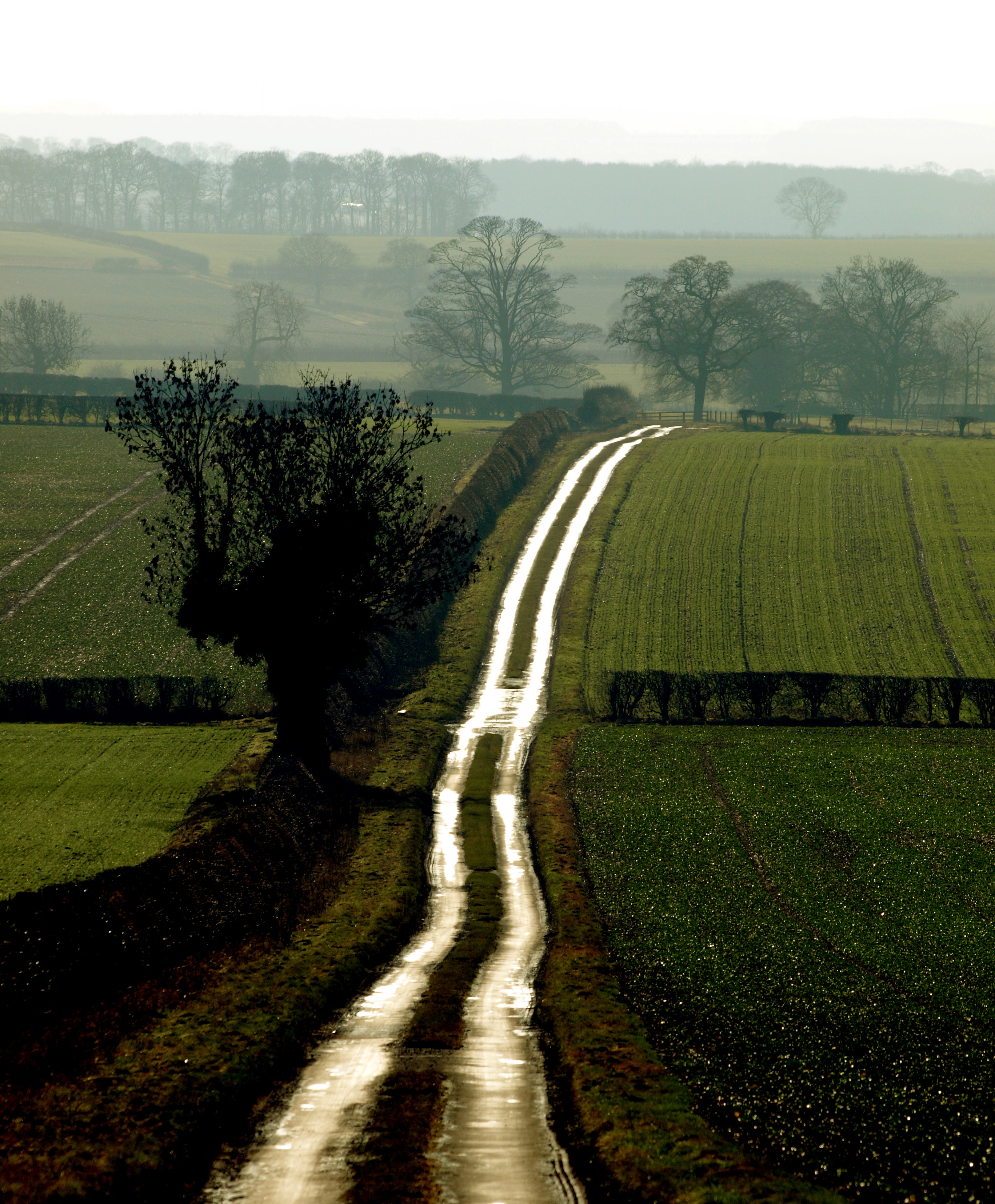
The Yorkshire Wolds is a picturesque area located in the county of Yorkshire, England. It is characterized by its rolling hills, expansive open landscapes, and charming rural villages. Stretching across roughly 79 miles from the east coast to the Humber Estuary, the Yorkshire Wolds offers stunning panoramic views and a tranquil atmosphere.

The region is known for its diverse natural features, including the Wolds' famous chalk cliffs, which provide a striking contrast to the surrounding green fields. These cliffs are a popular attraction for visitors, offering breathtaking vistas and opportunities for hiking and birdwatching.

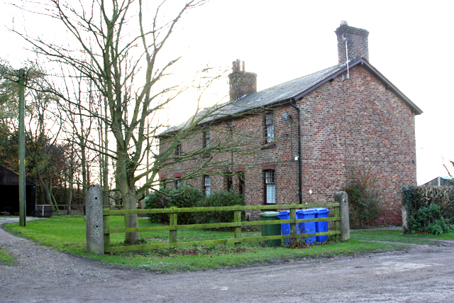
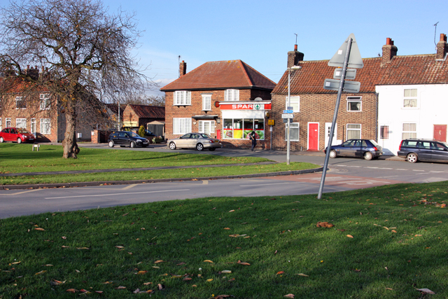
The Yorkshire Wolds is also home to several charming market towns and villages, such as Pocklington, Driffield, and Beverley. These quaint settlements boast beautiful historic architecture, including medieval churches and Georgian buildings, and are dotted with traditional pubs and independent shops.

The area is rich in history and heritage, with archaeological finds dating back thousands of years. Iron Age forts, burial mounds, and Roman remains can be discovered throughout the Wolds, offering a glimpse into the region's ancient past.

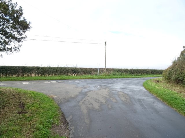
The Yorkshire Wolds is also a haven for outdoor enthusiasts. The undulating landscape provides excellent opportunities for walking, cycling, and horse riding, with many well-maintained trails and bridleways crisscrossing the area. The Wolds Way, a long-distance footpath, offers a chance to explore the stunning scenery and wildlife of the region.

In summary, the Yorkshire Wolds is a haven of natural beauty, historical significance, and outdoor adventure. With its rolling hills, charming villages, and diverse landscapes, it is a must-visit destination for those seeking a peaceful and scenic escape in Yorkshire.

If you have any feedback on the listing, please let us know in the comments section below.

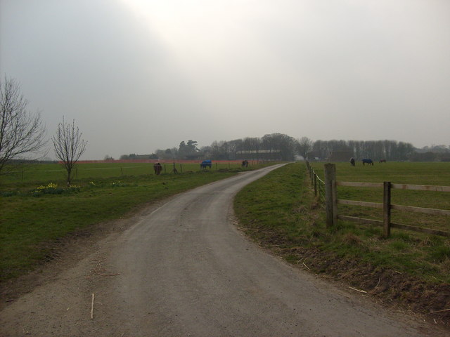
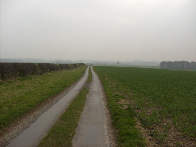
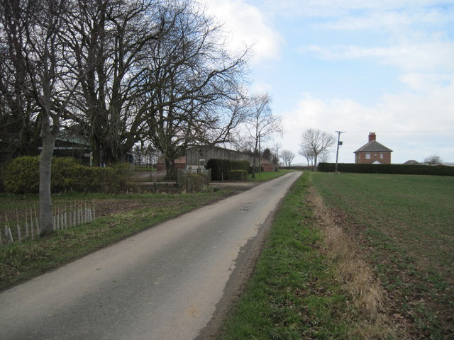
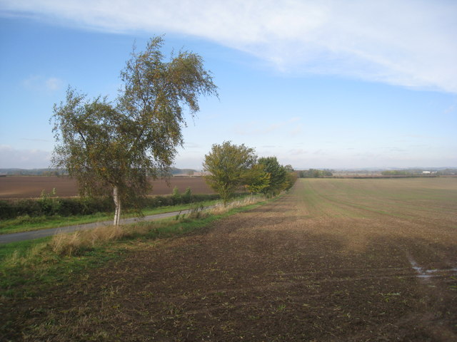
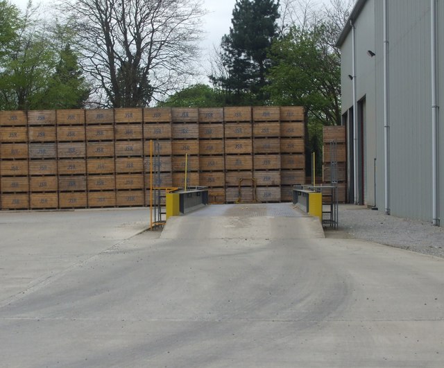
Yorkshire Wolds Images

Images are sourced within 2km of 53.958388/-0.48289052 or Grid Reference SE9952. Thanks to Geograph Open Source API. All images are credited.

Harvesting by Wellsprings Drain
Neswick Farm and Neswick Gardens, Bainton: aerial 2023 Newsick Hall Parkland: see <span class="nowrap"><a title="https://www.parksandgardens.org/places/neswick-hall-parkland" rel="nofollow ugc noopener" href="https://www.parksandgardens.org/places/neswick-hall-parkland">Link</a><img style="margin-left:2px;" alt="External link" title="External link - shift click to open in new window" src="https://s1.geograph.org.uk/img/external.png" width="10" height="10"/></span>

See also <a href="https://www.geograph.org.uk/photo/7592339">SE9753 : Neswick Gardens, Bainton: aerial 2023</a>.
Neswick Farm and Neswick Gardens, Bainton: aerial 2023
Newsick Hall Parkland: see LinkExternal link See also SE9753 : Neswick Gardens, Bainton: aerial 2023.
Junction on Burnbutts Lane Turn right for National Cycle Route 1.
Junction on Burnbutts Lane
Turn right for National Cycle Route 1.
Field Boundary towards Gravelwalk Plantation
Neswick Lane
Neswick Lane
Lane towards Bracken
Burnbutts  Lane At the edge of the field on the left is the footpath to Cawkeld, it goes around Burn Butts Farm before heading south. The house to the right of the lane is The Hind House, I do not the origin of its name.
Burnbutts Lane
At the edge of the field on the left is the footpath to Cawkeld, it goes around Burn Butts Farm before heading south. The house to the right of the lane is The Hind House, I do not the origin of its name.
The lane to Kirkburn Seen from Burnbutts Lane. As the trees mature they will take away some of the bleakness of this scene.
The lane to Kirkburn
Seen from Burnbutts Lane. As the trees mature they will take away some of the bleakness of this scene.
View towards Bustardnest Fox Covert This vast field has been created by the removal of hedges over several decades. The recently planted trees along the roadside seem poor compensation for the ecological loss.
View towards Bustardnest Fox Covert
This vast field has been created by the removal of hedges over several decades. The recently planted trees along the roadside seem poor compensation for the ecological loss.
Tree north of Bracken, E. Yorks Solitary tree, seen from the Minster Way long-distance footpath.
Tree north of Bracken, E. Yorks
Solitary tree, seen from the Minster Way long-distance footpath.
Windfarm protest, East Yorkshire Novel approach to turbine opposition next to Burnbutts Lane
Windfarm protest, East Yorkshire
Novel approach to turbine opposition next to Burnbutts Lane
Arable field, west of Bainton, E Yorks A tree-lined lane running in the direction of Kirkburn
Arable field, west of Bainton, E Yorks
A tree-lined lane running in the direction of Kirkburn
Burnbutts Lane, E Yorks Looking east along the lane towards The Hind House
Burnbutts Lane, E Yorks
Looking east along the lane towards The Hind House
Cawkeld Field, E Yorkshire Looking over the fields to the west of the footpath from Burnbutts to Cawkeld. The distinctive spire of the church at South Dalton is just about visible in the distance through the haze.
Cawkeld Field, E Yorkshire
Looking over the fields to the west of the footpath from Burnbutts to Cawkeld. The distinctive spire of the church at South Dalton is just about visible in the distance through the haze.
The path is clear Herbicide has been used in this field of wheat to clear the path.
The path is clear
Herbicide has been used in this field of wheat to clear the path.
Barley field Looking towards Bustard Nest Farm. I wonder how long it is since Great Bustards last nested in the Yorkshire Wolds.
Barley field
Looking towards Bustard Nest Farm. I wonder how long it is since Great Bustards last nested in the Yorkshire Wolds.
View towards Bainton In the east the Yorkshire Wolds rise gradually unlike the escarpments of the west and north.
View towards Bainton
In the east the Yorkshire Wolds rise gradually unlike the escarpments of the west and north.
Burnbutts Lane Under a sky that seemed to be building up to a thunderstorm but which never happened.
Burnbutts Lane
Under a sky that seemed to be building up to a thunderstorm but which never happened.
Show me another place!

Yorkshire Wolds is located at Grid Ref: SE9952 (Lat: 53.958388, Lng: -0.48289052)

Division: East Riding

Unitary Authority: East Riding of Yorkshire

Police Authority: Humberside

What 3 Words

///credible.punctual.doses. Near Bainton, East Yorkshire

Related Wikis

RAF Hutton Cranswick

Royal Air Force Hutton Cranswick or more simply RAF Hutton Cranswick is a former Royal Air Force station located to the south of Driffield and immediately...

Southburn railway station

Southburn railway station was a railway station on the Selby to Driffield Line. It opened on 1 May 1890 and served the villages of Southburn and Kirkburn...

Southburn

Southburn is a hamlet and former civil parish, now in the parish of Kirkburn, in the East Riding of Yorkshire, England. It is situated in the Yorkshire...

Bracken on the Wolds

Bracken on the Wolds (or Bracken) is a manor and hamlet in the East Riding of Yorkshire, England. It is situated in the Yorkshire Wolds approximately 1...

Hutton Cranswick

Hutton Cranswick is a village and civil parish in the East Riding of Yorkshire, England. It is situated approximately 3 miles (5 km) south from Driffield...

Kilnwick

Kilnwick (or Kilnwick-on-the-Wolds) is a village and former civil parish, now in the parish of Beswick, in the East Riding of Yorkshire, England. It is...

Watton, East Riding of Yorkshire

Watton is a village and civil parish in the East Riding of Yorkshire, England. The village is situated on the A164 road, about 6 miles (9.7 km) north...

Kirkburn

Kirkburn is a small village and civil parish in the East Riding of Yorkshire, England. It is situated about 3 miles (5 km) south-west of Driffield town...

Have you been to Yorkshire Wolds?

Leave your review of Yorkshire Wolds below (or comments, questions and feedback).