Sutton Common

Downs, Moorland in Sussex Chichester

England

Sutton Common

Daffodils in Coates Churchyard
Daffodils in Coates Churchyard Credit: Basher Eyre

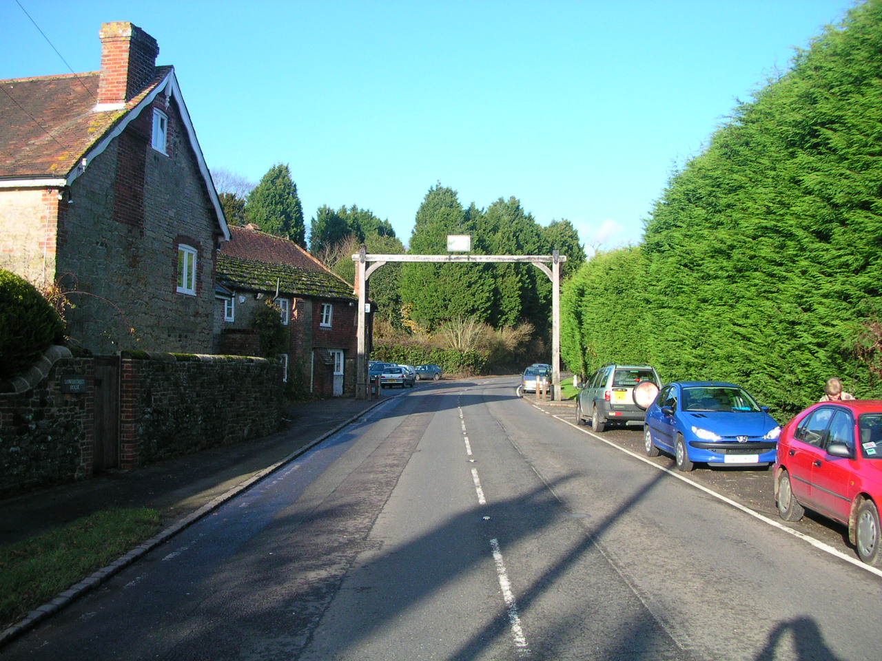
Sutton Common is a picturesque area located in the heart of Sussex, England. Known for its stunning natural beauty, this region is nestled amidst the rolling hills of the South Downs, offering breathtaking views of the surrounding countryside. The area is characterized by its diverse landscape, which includes both expansive moorlands and lush green valleys.

Covering a vast expanse, Sutton Common is a haven for nature enthusiasts and avid hikers. Its extensive network of walking trails allows visitors to explore the area's unique flora and fauna, including rare wildflowers and various bird species. The moorland, in particular, is home to an array of heather and gorse, creating a vibrant tapestry of colors during the summer months.

The tranquility of Sutton Common is further enhanced by its remote location, providing a peaceful escape from the hustle and bustle of city life. The absence of major roads and urban development preserves the area's natural charm and encourages a sense of serenity.

For those seeking outdoor activities, Sutton Common offers ample opportunities. The South Downs Way, a long-distance trail, runs through the area, attracting hikers and cyclists from near and far. Additionally, the nearby villages of Sutton and Amberley provide quaint accommodations and traditional pubs, perfect for a relaxing break after a day of exploring.

Sutton Common truly embodies the essence of the Sussex countryside, with its unspoiled landscapes and rich biodiversity. Whether one seeks a peaceful retreat or an adventure in the great outdoors, this idyllic location offers something for everyone.

If you have any feedback on the listing, please let us know in the comments section below.

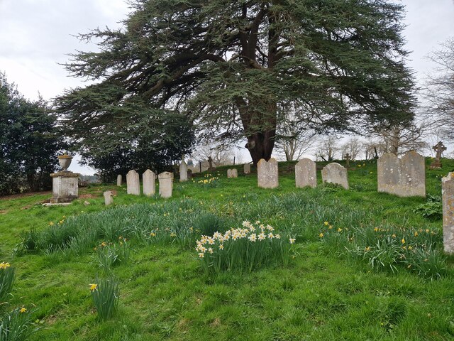
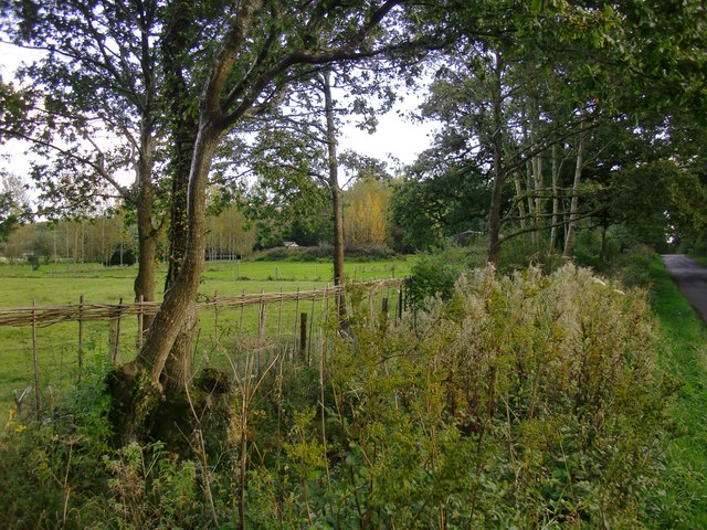
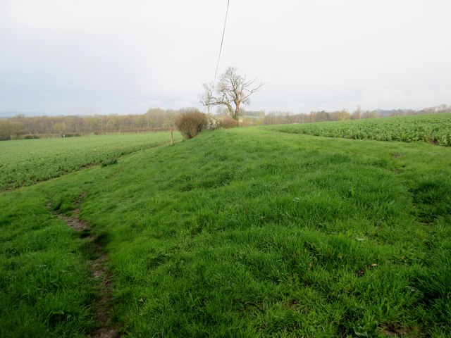
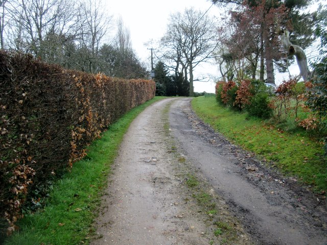
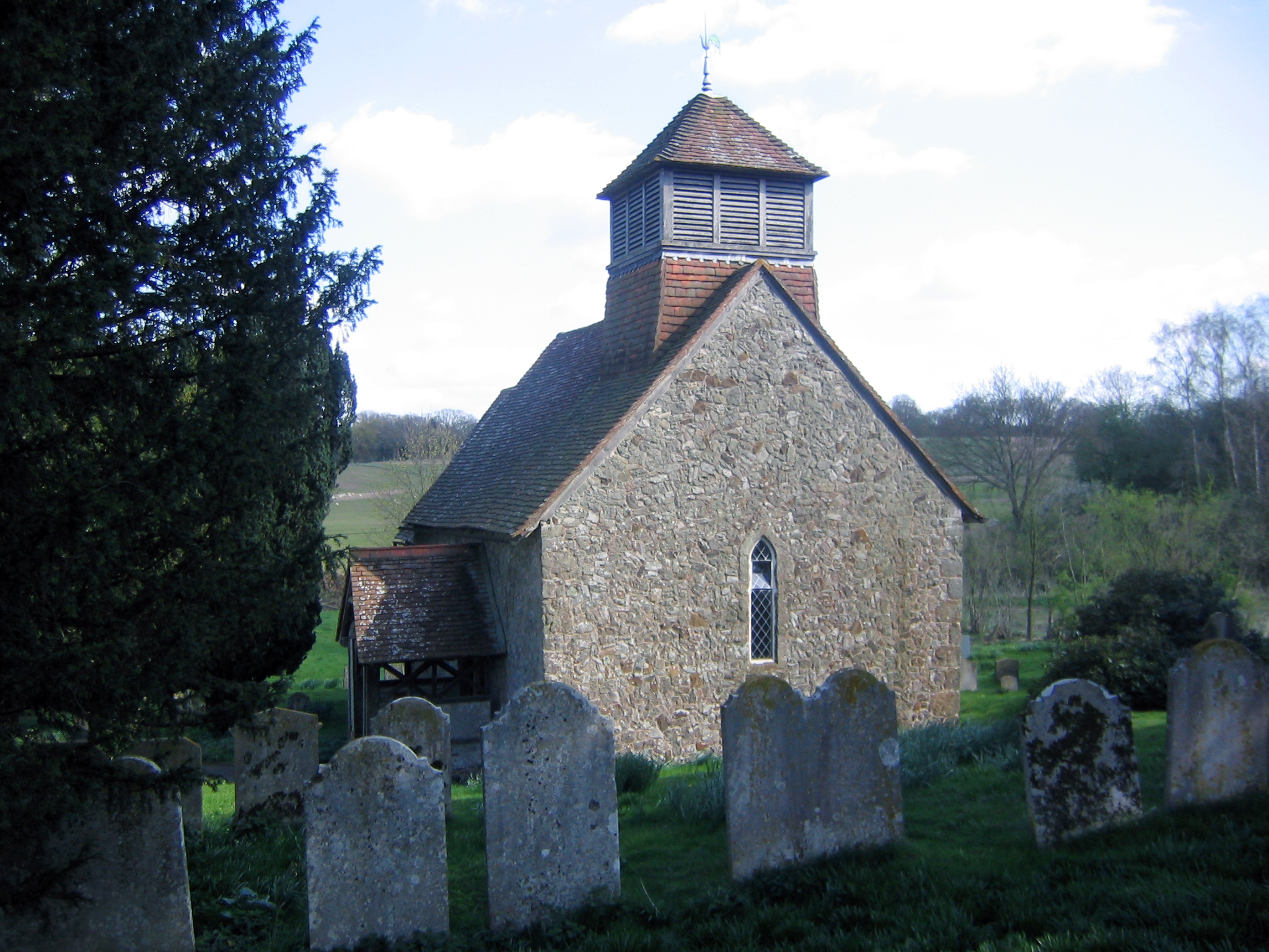
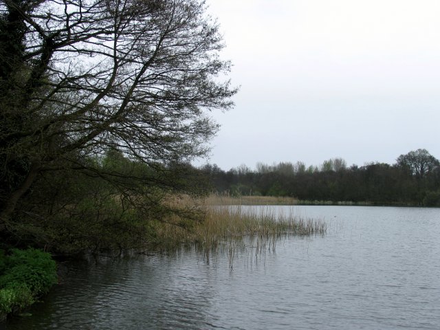
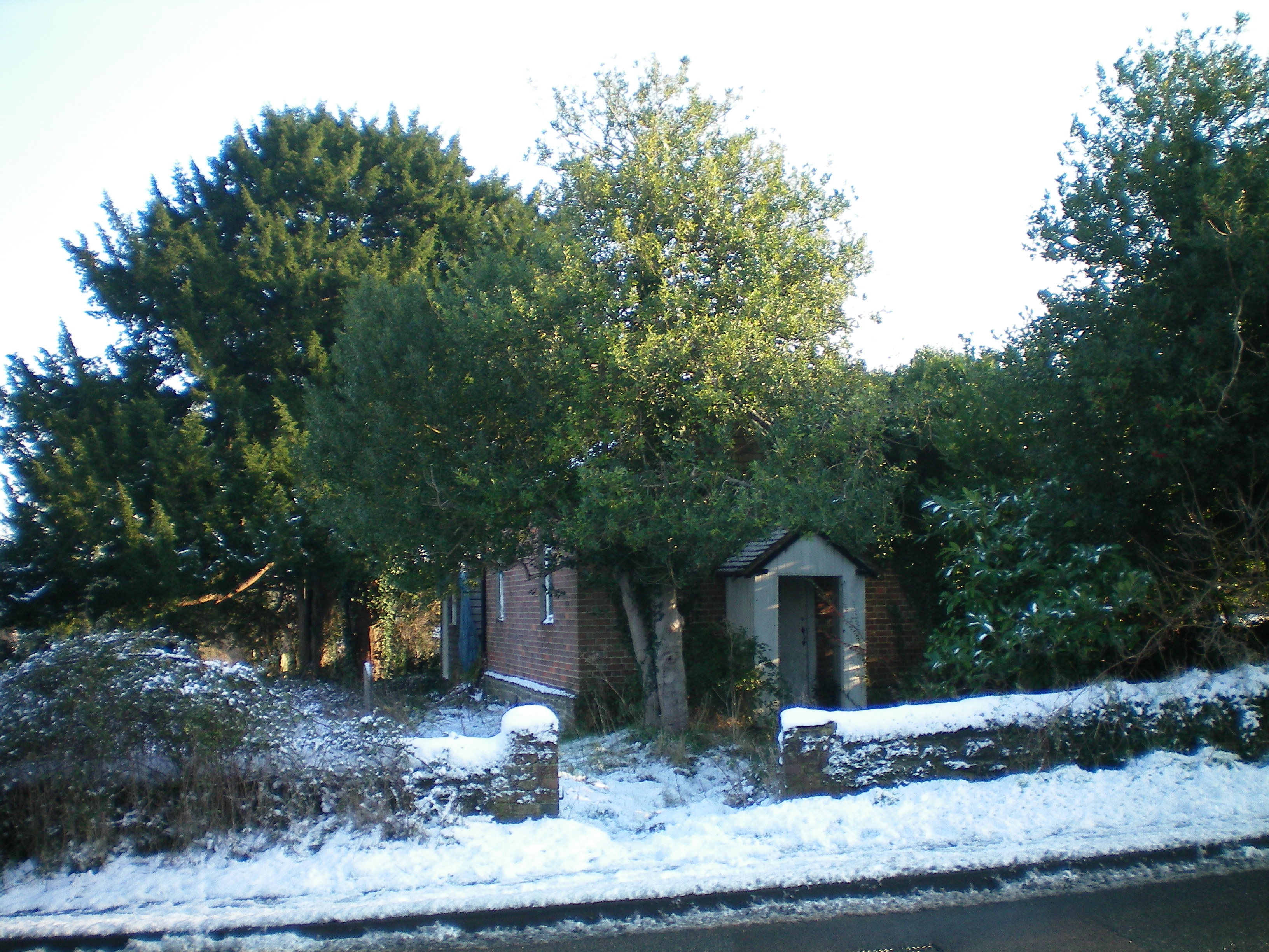
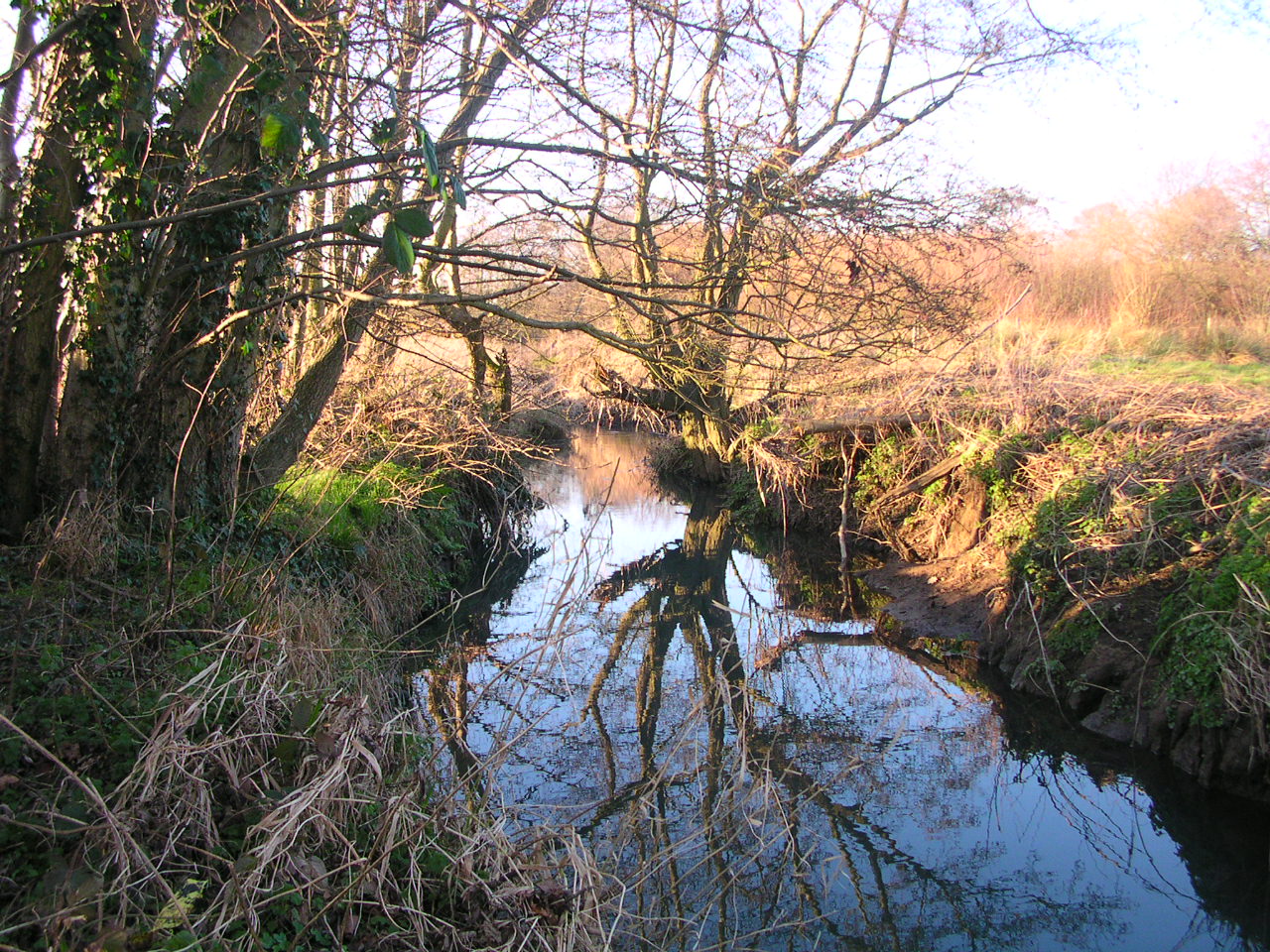
Sutton Common Images

Images are sourced within 2km of 50.945998/-0.58311296 or Grid Reference SU9917. Thanks to Geograph Open Source API. All images are credited.

Daffodils in Coates Churchyard
Rush hour in Coates (revisited)
Road and path junction at Coates
Coates Manor House, from the south Seen from the churchyard.
Coates Manor House, from the south
Seen from the churchyard.
Coates Manor House, from the south-east The main structure - built of pale sandstone with brick string-courses - is said to date from the 17th century (Nairn and Pevsner, 'The Buildings of England: Sussex').  Not visible from this angle is the lower, later north wing <a title="https://www.geograph.org.uk/photo/4698969" href="https://www.geograph.org.uk/photo/4698969">Link</a>    built of a more colourful ironstone (similar to the material known in Surrey as Bargate stone).  The listing (rather brief) is to be found here: <span class="nowrap"><a title="http://www.britishlistedbuildings.co.uk/en-300472-coates-manor-house-fittleworth-west-suss#.VhkWGighzo4" rel="nofollow ugc noopener" href="http://www.britishlistedbuildings.co.uk/en-300472-coates-manor-house-fittleworth-west-suss#.VhkWGighzo4">Link</a><img style="margin-left:2px;" alt="External link" title="External link - shift click to open in new window" src="https://s1.geograph.org.uk/img/external.png" width="10" height="10"/></span>

The settlement pattern at Coates is puzzling - a scattered hamlet rather than a village - and I wonder whether there was a more compact settlement in medieval times.
Coates Manor House, from the south-east
The main structure - built of pale sandstone with brick string-courses - is said to date from the 17th century (Nairn and Pevsner, 'The Buildings of England: Sussex'). Not visible from this angle is the lower, later north wing Link built of a more colourful ironstone (similar to the material known in Surrey as Bargate stone). The listing (rather brief) is to be found here: LinkExternal link The settlement pattern at Coates is puzzling - a scattered hamlet rather than a village - and I wonder whether there was a more compact settlement in medieval times.
Coates Manor House According to the Listing, this dates from the early 17th century <span class="nowrap"><a title="http://www.britishlistedbuildings.co.uk/en-300472-coates-manor-house-fittleworth-west-suss#.VhkWGighzo4" rel="nofollow ugc noopener" href="http://www.britishlistedbuildings.co.uk/en-300472-coates-manor-house-fittleworth-west-suss#.VhkWGighzo4">Link</a><img style="margin-left:2px;" alt="External link" title="External link - shift click to open in new window" src="https://s1.geograph.org.uk/img/external.png" width="10" height="10"/></span>
Coates Manor House
According to the Listing, this dates from the early 17th century LinkExternal link
Coates church from the south-east
Coates church and churchyard
Coates church from the west
St Agatha's church from Coates Lane I scrambled up a bank to take this shot over the churchyard wall.
St Agatha's church from Coates Lane
I scrambled up a bank to take this shot over the churchyard wall.
Trees by a ditch I stopped to photograph the French-style plantation of young poplars (seen left) and only then realised that the rank vegetation in the foreground was growing along a roadside ditch - overgrown but still very wet.
Trees by a ditch
I stopped to photograph the French-style plantation of young poplars (seen left) and only then realised that the rank vegetation in the foreground was growing along a roadside ditch - overgrown but still very wet.
Lord's Piece I wonder about the history of this area (now access land).  The impression I get is of heathland that has - at some time in the past - been tidied up, with parkland-style plantings.  A fellow-contributor has likened it to the New Forest <a title="https://www.geograph.org.uk/photo/246257" href="https://www.geograph.org.uk/photo/246257">Link</a> but for me it's Ashdown Forest that comes to mind.
Lord's Piece
I wonder about the history of this area (now access land). The impression I get is of heathland that has - at some time in the past - been tidied up, with parkland-style plantings. A fellow-contributor has likened it to the New Forest Link but for me it's Ashdown Forest that comes to mind.
Coates Manor House, from St Agatha's churchyard
Coates Manor House, north wing
Footpath between bean fields Public footpath 670 to High Hoes.
Footpath between bean fields
Public footpath 670 to High Hoes.
Track to Woodruff's Farm Public footpath 3453.
Track to Woodruff's Farm
Public footpath 3453.
Bean Field Adjacent to public footpath 670.
Bean Field
Adjacent to public footpath 670.
Footpath between field beans and hedge Public footpath 670 to High Hoes.
Footpath between field beans and hedge
Public footpath 670 to High Hoes.
Show me another place!

Sutton Common is located at Grid Ref: SU9917 (Lat: 50.945998, Lng: -0.58311296)

Administrative County: West Sussex

District: Chichester

Police Authority: Sussex

What 3 Words

///perused.frosted.repeated. Near Petworth, West Sussex

Nearby Locations

Coates Sutton Common

Related Wikis

Coates, West Sussex

Coates is a downland village in the Chichester district of West Sussex, England. Coates lies one mile (1.7 km) southwest from Fittleworth and four miles...

Fittleworth railway station

Fittleworth railway station served the village of Fittleworth in the county of West Sussex in England. It was on the London Brighton and South Coast Railway...

Bignor Park

Bignor Park is a privately owned country house and estate near the village of Bignor, in West Sussex, England, on the edge of the South Downs. The house...

Burton Park SSSI

Burton Park SSSI is a 57.7-hectare (143-acre) biological Site of Special Scientific Interest west of Pulborough in West Sussex. A larger area of 63 hectares...

Coates Castle SSSI

Coates Castle SSSI is a 7.7-hectare (19-acre) biological Site of Special Scientific Interest west of Pulborough in West Sussex.This site consists of three...

Watersfield

Watersfield is a hamlet in the Horsham District of West Sussex, England. It lies on the A29 road 3.1 miles (5 km) southwest of Pulborough. At the 2011...

Petworth Canal

The Petworth Canal was one of Britain's shorter lasting canals, opened in 1795 and dismantled in 1826. Upon completion of the Rother Navigation, the Earl...

Fittleworth

Fittleworth is a village and civil parish in the District of Chichester in West Sussex, England located seven kilometres (3 miles) west from Pulborough...

Nearby Amenities

Located within 500m of 50.945998,-0.58311296
Horncroft Warren
Place: locality
Lat/Long: 50.9440869/-0.5802864
Sutton Common
Place: locality
Lat/Long: 50.9461523/-0.5817883
Barrier: kissing_gate
Lat/Long: 50.9439675/-0.5820817
Barrier: kissing_gate
Lat/Long: 50.9469383/-0.5827007
The data included in this document is from www.openstreetmap.org. The data is made available under ODbL.

Have you been to Sutton Common?

Leave your review of Sutton Common below (or comments, questions and feedback).