Healey
Settlement in Northumberland
England
Healey
Healey is a small village located in the county of Northumberland, England. Situated in the Tyne Valley, it is part of the civil parish of Wark. The village is nestled amidst rolling countryside and offers stunning views of the surrounding landscape.
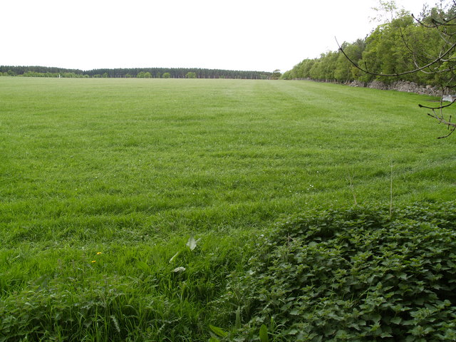
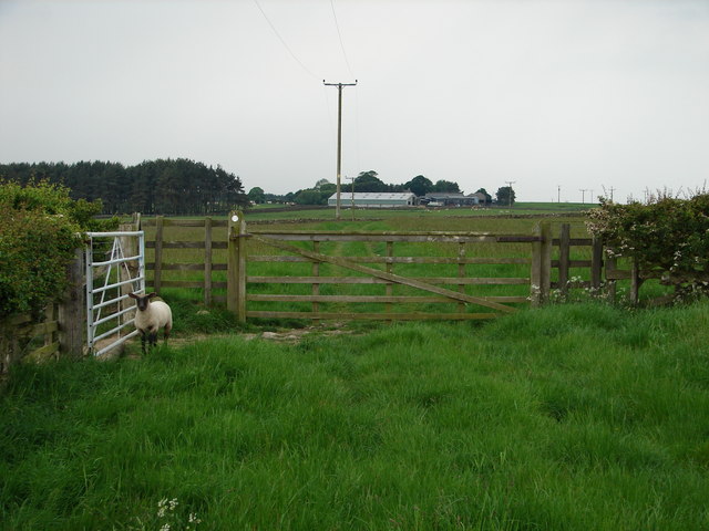
With a population of around 300 residents, Healey exudes a peaceful and close-knit community atmosphere. The village is predominantly residential, with a scattering of traditional stone houses and cottages that add to its charm. The area is known for its picturesque setting, with lush green fields, meandering streams, and a tranquil ambiance.
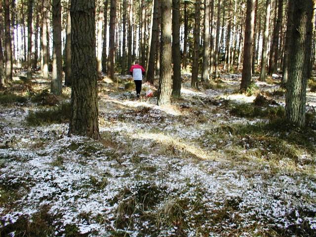
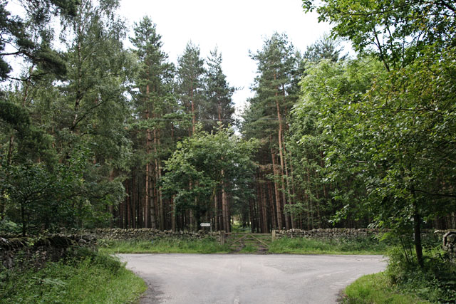
Healey benefits from its proximity to the Northumberland National Park, which is just a short distance away. The park offers extensive opportunities for outdoor activities, such as hiking, cycling, and birdwatching, attracting nature enthusiasts and adventurers alike. The nearby River Tyne also provides a scenic backdrop for peaceful walks and fishing.
Although Healey is a quiet village, it is conveniently located near the market town of Hexham, which is approximately 7 miles to the west. Hexham offers a range of amenities including shops, supermarkets, schools, and healthcare facilities.
Overall, Healey in Northumberland is a quintessential English village, offering a tranquil and idyllic setting amidst the beauty of the Tyne Valley. It is a place where residents can enjoy a peaceful lifestyle, surrounded by stunning natural scenery and with access to the amenities of nearby towns.
If you have any feedback on the listing, please let us know in the comments section below.
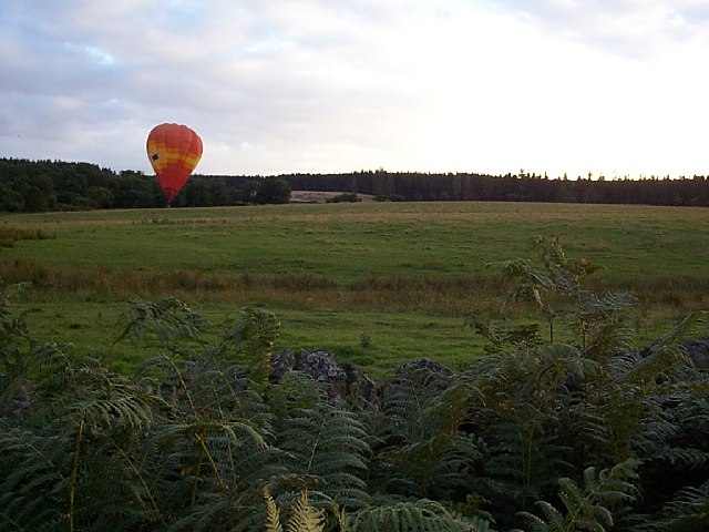
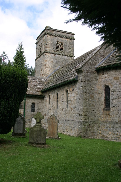
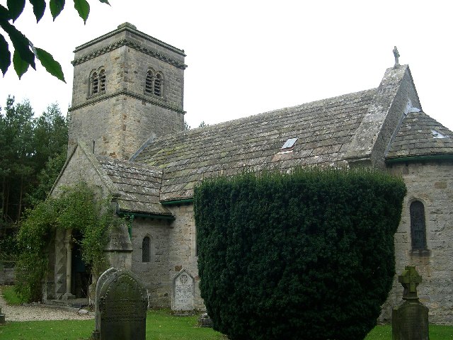
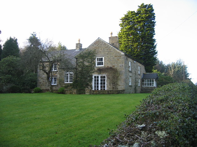
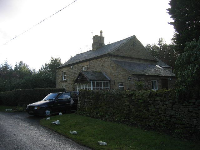
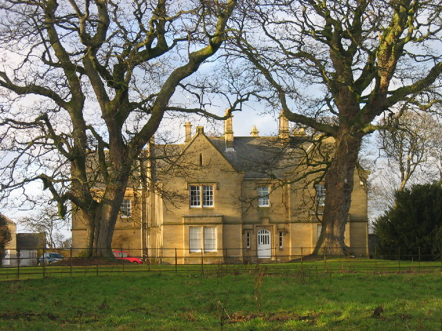
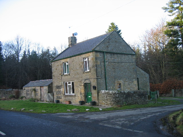
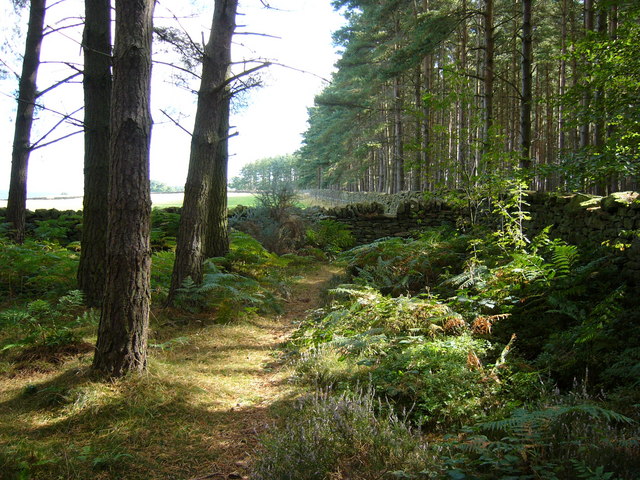
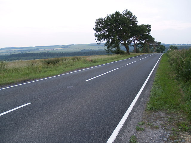
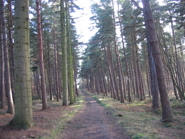
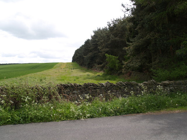
Healey Images
Images are sourced within 2km of 54.920699/-1.9785953 or Grid Reference NZ0158. Thanks to Geograph Open Source API. All images are credited.


Healey is located at Grid Ref: NZ0158 (Lat: 54.920699, Lng: -1.9785953)
Unitary Authority: Northumberland
Police Authority: Northumbria
What 3 Words
///hillsides.gaps.exit. Near Healey, Northumberland
Nearby Locations
Related Wikis

Healey, Northumberland
Healey is a rural estate and civil parish in Northumberland, England, situated between Riding Mill to the north and Slaley to the south. The neo-Norman...

Broomley
Broomley is a village in the civil parish of Stocksfield, in Northumberland, England. It is situated between Hexham and Newcastle upon Tyne, to the south...

Minsteracres
Minsteracres is an 18th-century mansion house, now a Christian retreat centre, in Northumberland, England. It is a Grade II listed building.The house was...

Riding Mill
Riding Mill is a village near Hexham in Northumberland, England. It is part of the civil parish of Broomhaugh and Riding. It is served by Riding Mill railway...

Broomhaugh and Riding
Broomhaugh and Riding is a civil parish in Northumberland, England. It includes the villages of Broomhaugh and Riding Mill. According to the 2001 census...
Broomhaugh
Broomhaugh is a village and former civil parish, now in the parish of Broomhaugh and Riding, in Northumberland, in England. It is situated between Hexham...

Riding Mill railway station
Riding Mill is a railway station on the Tyne Valley Line, which runs between Newcastle and Carlisle via Hexham. The station, situated 16 miles 71 chains...
Beauclerc
Beauclerc is a small village in Northumberland, England. It is situated to the west of Riding Mill, between Hexham and Newcastle upon Tyne. == Governance... ==
Nearby Amenities
Located within 500m of 54.920699,-1.9785953Have you been to Healey?
Leave your review of Healey below (or comments, questions and feedback).