Welby Heath

Downs, Moorland in Lincolnshire South Kesteven

England

Welby Heath

St Bartholomew, Welby The church sits very close to the Roman road of Ermine Street.
St Bartholomew, Welby Credit: Dave Hitchborne

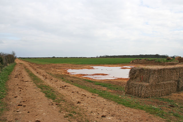
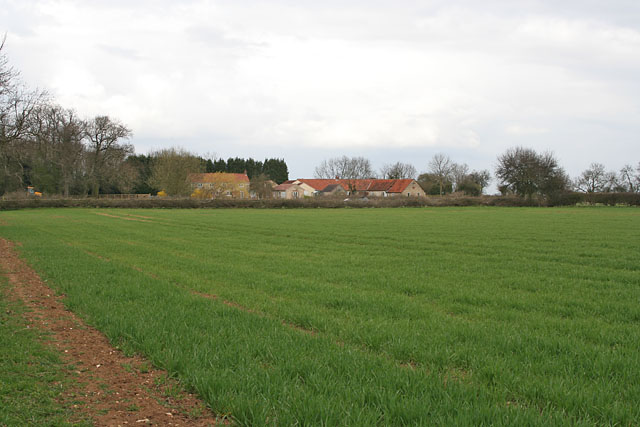
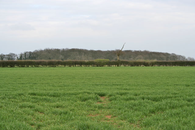
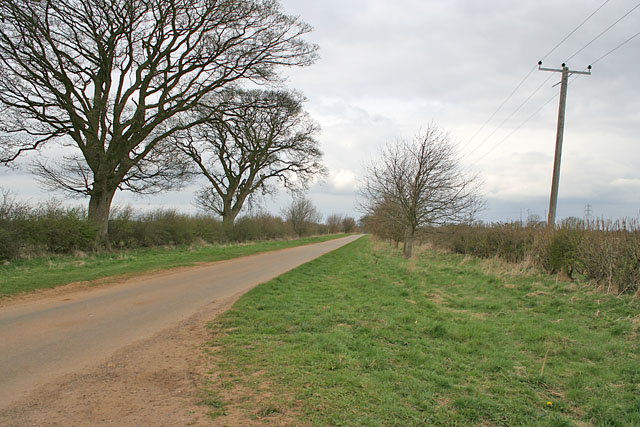
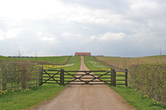
Welby Heath is a picturesque area located in Lincolnshire, England. Situated in the heart of the county, it is known for its stunning landscape, encompassing both downs and moorland. The area is a haven for nature enthusiasts and outdoor adventurers, offering a diverse range of flora and fauna.

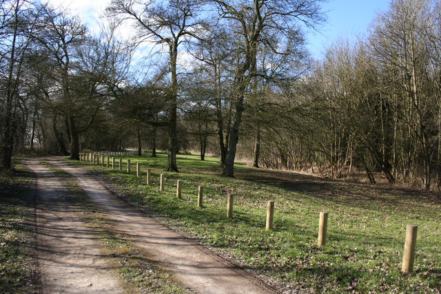
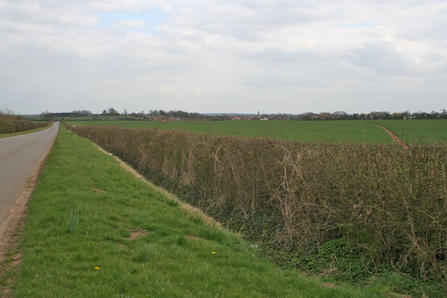
The downs of Welby Heath are characterized by rolling hills and vast open spaces, providing breathtaking views of the surrounding countryside. These grassy slopes are perfect for leisurely walks, picnics, and even kite flying. The gentle terrain makes it accessible to people of all ages and abilities.

In contrast, the moorland of Welby Heath is a unique ecosystem, renowned for its heather-covered expanses. The vibrant purple hues of the heather create a striking backdrop, especially during the summer months. Moorland birds, such as curlews and grouse, can often be spotted in this area, making it a popular destination for birdwatchers.

Welby Heath is also home to a variety of wildlife, including rabbits, hares, and foxes. It is not uncommon to come across these creatures while exploring the area. Additionally, the heathland supports a diverse range of plant species, including bilberries, cotton grass, and various wildflowers, adding to the natural beauty of the landscape.

For those seeking tranquility and a connection with nature, Welby Heath is the ideal destination. Its unspoiled beauty and peaceful atmosphere provide a haven away from the hustle and bustle of city life. Whether you are a nature lover, hiker, or simply looking for a serene escape, Welby Heath offers a truly enchanting experience.

If you have any feedback on the listing, please let us know in the comments section below.
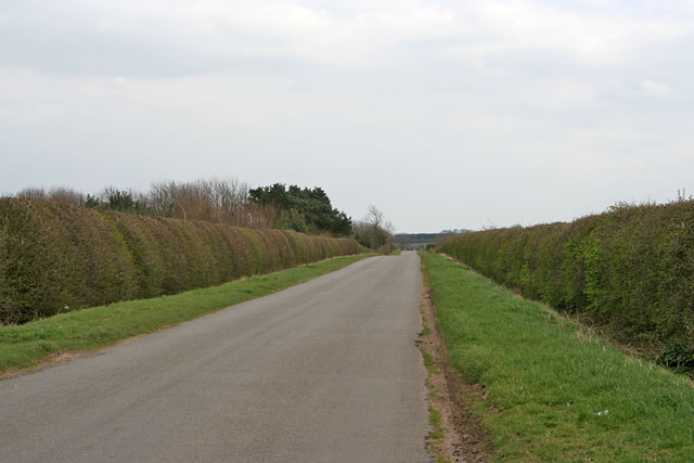
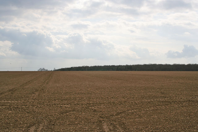
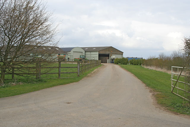
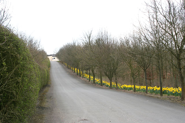
Welby Heath Images

Images are sourced within 2km of 52.915684/-0.55097803 or Grid Reference SK9736. Thanks to Geograph Open Source API. All images are credited.

St Bartholomew, Welby The church sits very close to the Roman road of Ermine Street.
St Bartholomew, Welby
The church sits very close to the Roman road of Ermine Street.
Old RAF building near Londonthorpe
Ropsely Rise Wood Picnic area in the Forestry Commission's Ropsley Rise Wood
Ropsely Rise Wood
Picnic area in the Forestry Commission's Ropsley Rise Wood
St.Bartholomew's church, Welby, Lincs. A slight Early English tower with broach spire, lofty Perpendicular clerestoried nave with pinnacled parapet. The chancel is by J.H.Hakewill in 1873 with some bits of Norman incorporated.
St.Bartholomew's church, Welby, Lincs.
A slight Early English tower with broach spire, lofty Perpendicular clerestoried nave with pinnacled parapet. The chancel is by J.H.Hakewill in 1873 with some bits of Norman incorporated.
Farm Track off Church Lane near Welby Abney Wood on the horizon to the right, in <a href="https://www.geograph.org.uk/gridref/SK9736">SK9736</a>. The farmland is very flat round this area and, at about 100 metres above sea level, is quite windswept.
Farm Track off Church Lane near Welby
Abney Wood on the horizon to the right, in SK9736. The farmland is very flat round this area and, at about 100 metres above sea level, is quite windswept.
Farmland on Welby Heath, Lincolnshire Side Bar Farm is the only collection of buildings in this square, sitting at the junction of Green Lane, a track with public access, and Church Lane, the road from Welby to the A52.
Farmland on Welby Heath, Lincolnshire
Side Bar Farm is the only collection of buildings in this square, sitting at the junction of Green Lane, a track with public access, and Church Lane, the road from Welby to the A52.
Abney Wood on Welby Heath The A52 runs along the edge of this wood.
Abney Wood on Welby Heath
The A52 runs along the edge of this wood.
Church Lane, Welby, Lincolnshire Looking towards Welby.
Church Lane, Welby, Lincolnshire
Looking towards Welby.
A Long Straight Road on Ropsley Heath This road goes from the A52 to Ropsley.
A Long Straight Road on Ropsley Heath
This road goes from the A52 to Ropsley.
Farmland on Ropsley Heath A single field as far as the eye can see, Ropsley Rise Wood on the horizon.
Farmland on Ropsley Heath
A single field as far as the eye can see, Ropsley Rise Wood on the horizon.
North Lodge Farm on Ropsley Heath, Lincolnshire To the north of the only road in this square.
North Lodge Farm on Ropsley Heath, Lincolnshire
To the north of the only road in this square.
South Lodge Farm on Ropsley Heath, Lincolnshire The entrance to this farm is opposite <a href="https://www.geograph.org.uk/photo/155103">SK9835 : North Lodge Farm on Ropsley Heath, Lincolnshire</a>.
South Lodge Farm on Ropsley Heath, Lincolnshire
The entrance to this farm is opposite SK9835 : North Lodge Farm on Ropsley Heath, Lincolnshire.
Ropsley Heath, Lincolnshire Taken from the entrance to the two farms, Ropsley (<a href="https://www.geograph.org.uk/gridref/SK9934">SK9934</a>) can be seen in the distance.
Ropsley Heath, Lincolnshire
Taken from the entrance to the two farms, Ropsley (SK9934) can be seen in the distance.
Heath Farm near Ropsley, Lincolnshire This farm is in a commanding position. Not surprising as it's built on the site of an old Roman camp.
Heath Farm near Ropsley, Lincolnshire
This farm is in a commanding position. Not surprising as it's built on the site of an old Roman camp.
Green Lane near Harrowby This green lane is called Green Lane!
Green Lane near Harrowby
This green lane is called Green Lane!
Farmland off Green Lane There is a wide margin of indigenous planting in the margins of this field.
Farmland off Green Lane
There is a wide margin of indigenous planting in the margins of this field.
Snowdrops at the entrance to Welby Warren The busy A52 runs just to the left of this field following the line of trees in the middle distance.
Snowdrops at the entrance to Welby Warren
The busy A52 runs just to the left of this field following the line of trees in the middle distance.
Farm road to Welby Warren Just off the A52
Farm road to Welby Warren
Just off the A52
Show me another place!

Welby Heath is located at Grid Ref: SK9736 (Lat: 52.915684, Lng: -0.55097803)

Administrative County: Lincolnshire

District: South Kesteven

Police Authority: Lincolnshire

What 3 Words

///undulation.perfume.surcharge. Near Grantham, Lincolnshire

Nearby Locations

Welby Heath Abney Wood

Related Wikis

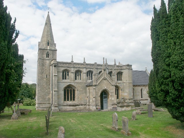
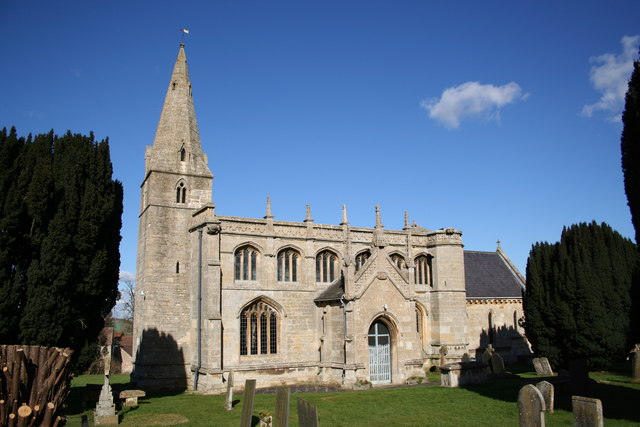
St Bartholomew's Church, Welby

St Bartholomew's Church is a Grade I listed Anglican church dedicated to St Bartholomew the Apostle, in the English village of Welby, Lincolnshire. It...

Londonthorpe

Londonthorpe is a village in the civil parish of Londonthorpe and Harrowby Without, in South Kesteven district of Lincolnshire, England. It lies 3 miles...

Welby, Lincolnshire

Welby is a village and civil parish in the South Kesteven district of Lincolnshire, England. The population of the civil parish was 169 in 82 households...

Harrowby, Lincolnshire

Harrowby is a hamlet in the South Kesteven district of Lincolnshire, England. It lies 2 miles (3 km) east of the market town of Grantham. Harrowby was...

Related Videos

Around the house at Heath Farm Holiday Home Ropsley

A lovely Country House suitable for large groups, family's, wedding receptions and events. An extensive tree lined driveway, ...

Raw runcam split v2 footage

runcam #runcamsplit2 Spring morning flying at ropsley.

Ropsley Hall Video Tour

Video Tour of Ropsley Hall. For information and bookings contact ropsleyvh@gmail.com.

Nearby Amenities

Located within 500m of 52.915684,-0.55097803
Welby Heath
Place: locality
Source: Bing
Lat/Long: 52.9154783/-0.5527391
Parking
Parking: layby
Lat/Long: 52.916271/-0.5449229
Side Bar
Place: isolated_dwelling
Lat/Long: 52.918035/-0.5545823
The data included in this document is from www.openstreetmap.org. The data is made available under ODbL.

Have you been to Welby Heath?

Leave your review of Welby Heath below (or comments, questions and feedback).